2000s (21st Century) Maps of Nance County, Nebraska
Explore 64 historic maps of Nance County from the 2000s (21st Century). These maps offer a rare glimpse into what life looked like during the 2000s — showing old roads, neighborhoods, homes, and landmarks that have changed or disappeared over time.
Whether you're researching your family's past, planning a metal detecting trip, or studying how Nance County's landscape evolved across the 2000s, these high-resolution maps are a powerful tool for exploring the history of this region.
- Focus on a specific era: All maps on this page are from the 2000s, giving you a focused view of this time period.
- See what’s changed: Compare century-old streets, trails, and buildings to today's modern landscape using overlays and satellite layers.
- Research with precision: Use these maps for genealogy, historical research, land use analysis, or educational projects.
- View, download, or print: Maps are fully viewable online in high resolution, and can be downloaded or printed for your own records.
Start exploring Nance County's history through authentic maps from the 2000s. This is your window into the past.
Nance County, NE maps
(64)- 2011 Map of Saint Edward SW, 2011 Print
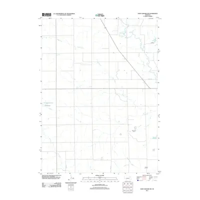 2011 Saint Edward SW2011 Print · USGSBoone County, Nebraska, is documented here in the early twenty-first century as a landscape of managed prairie waterways and rural landmarks. Researchers can locate the Skeedee Cemetery and trace the paths of Bogus Creek and Plum Creek.
 - 2011 Map of Fullerton, 2011 Print
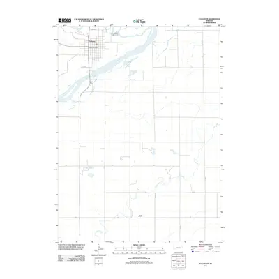 2011 Fullerton2011 Print · USGSFullerton and its surroundings in Nance County appear in detail during the early 2010s at the junction of two major rivers. Researchers can trace local landmarks like the Fullerton Post Office or find family sites at the Bureau Cemetery south of the Loup River.
 - 2011 Map of Genoa, 2011 Print
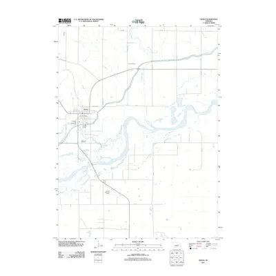 2011 Genoa2011 Print · USGSThe community of Genoa is captured here in the early 2010s, showing a landscape defined by the parallel courses of the Loup River and the Loup River Canal. Researchers can locate family landmarks such as Friends Cemetery and Valley View Cemetery near the heart of town.
 - 2011 Map of Lindsay SW, 2011 Print
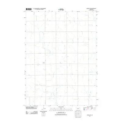 2011 Lindsay SW2011 Print · USGSThe agricultural heartland of Platte County is captured in this early twenty-first-century survey of rural Nebraska. Genealogists and local historians can locate West Hill Cemetery and trace the winding courses of Looking Glass Creek and Lost Creek.
 - 2011 Map of Saint Edward, 2011 Print
 2011 Saint Edward2011 Print · USGSSaint Edward and the surrounding Nebraska prairie are captured here in the early twenty-first century, centered on the life of this Boone County community. Researchers can locate family plots at Evergreen Cemetery or trace the path of Beaver Creek past Roberts Dam.
 - 2011 Map of Fullerton NE, 2011 Print
 2011 Fullerton NE2011 Print · USGSNance County agricultural land is captured here in the early twenty-first century, centered on the Loup River and its intricate drainage systems. Researchers can locate Krakow and the Sunnyside Cemetery or trace the engineering of the Loup Diversion Dam.
 - 2011 Map of Merchiston, 2011 Print
 2011 Merchiston2011 Print · USGSThe confluence of the Loup and Cedar rivers in Nance County defines this rural Nebraska landscape in the early twenty-first century. Genealogists and local historians can trace the course of Plum Creek and locate landmarks like Merchiston and the Camp Airport.
 - 2011 Map of Havens, 2011 Print
 2011 Havens2011 Print · USGSMerrick County agriculture and watercourses are captured here in the early twenty-first century. Genealogists and local historians can trace the road network around Havens and follow the meandering paths of Silver Creek and Prairie Creek.
 - 2011 Map of Belgrade, 2011 Print
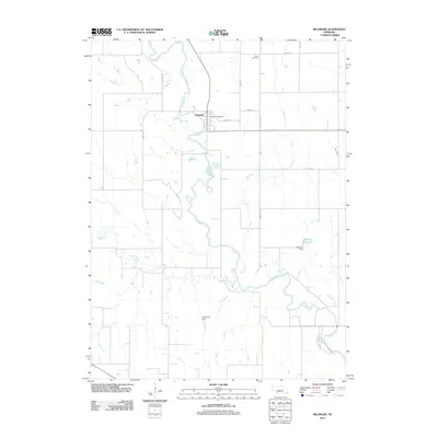 2011 Belgrade2011 Print · USGSBelgrade and the winding Cedar River valley are captured in this 2011 survey of Nance County. Genealogists and local historians can locate the Main Cemetery and Belgrade Post Office, or trace water features like Gdowski Reservoir and Timber Creek.
 - 2011 Map of Cushing, 2011 Print
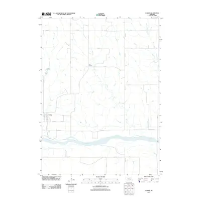 2011 Cushing2011 Print · USGSThe village of Cushing and the Loup River valley are shown here in the early twenty-first century as the landscape's agricultural character endures. Local historians can trace family ties at Rock Creek Cemetery or locate landmarks like Deppen Reservoir.
 - 2011 Map of Belgrade NW, 2011 Print
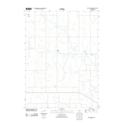 2011 Belgrade NW2011 Print · USGSNance County’s agricultural heartland is documented here in the early twenty-first century, showing a landscape defined by the winding paths of Timber Creek and its branches. Genealogists and researchers can locate the Redwing Cemetery and trace water features like Horse Creek and Robinson Reservoir.
 - 2011 Map of Belgrade SE, 2011 Print
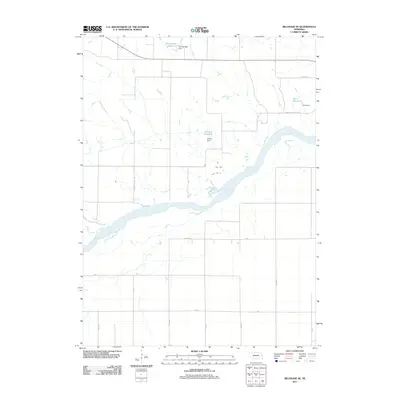 2011 Belgrade SE2011 Print · USGSMerrick County agriculture and water management define this landscape during the early twenty-first century. Researchers can trace the development of local farm infrastructure through family-named landmarks like Kotlarz Reservoir and the course of the Loup River.
 - 2011 Map of Cedar Rapids SE, 2011 Print
 2011 Cedar Rapids SE2011 Print · USGSThe Cedar River valley in the early twenty-first century reveals a landscape defined by its waterways and rural road networks. Researchers can trace the path of Plum Creek and locate family-named infrastructure like Loeffler Reservoir and Hollman Dam.
 - 2011 Map of Belgrade SW, 2011 Print
 2011 Belgrade SW2011 Print · USGSThe rural plains of Nance County are captured here just after the first decade of the millennium, centered on the Loup River drainage system. Researchers can trace land features like the Davis Brothers Reservoir and the small settlement at North Star.
 - 2011 Map of Wolbach NE, 2011 Print
 2011 Wolbach NE2011 Print · USGSThe rural plains of Merrick County are captured in this early twenty-first-century survey, showing the enduring grid of the Nebraska heartland. Genealogists and local historians can trace the paths of South Branch Timber Creek or locate family land near Brady Rd and WPA Ave.
 - 2011 Map of Silver Creek, 2011 Print
 2011 Silver Creek2011 Print · USGSSilver Creek and the braided channels of the Platte River dominate this Nebraska valley at the start of the twenty-first century. Local researchers can pinpoint the Silver Creek Post Office, Silver Creek Cemetery, and Saint Lawrence Cemetery amidst the regional grid of country roads.
 - 2014 Map of Belgrade SE, 2014 Print
 2014 Belgrade SE2014 Print · USGSMerrick and Nance Counties are shown here during the early twenty-first century, centered on the Loup River valley. Genealogists and local historians can trace rural property boundaries and water features like Voichahoske Reservoir and Kotlarz Reservoir.
 - 2014 Map of Belgrade NW, 2014 Print
 2014 Belgrade NW2014 Print · USGSThe Nebraska plains near the Boone and Nance County line appear in this modern survey of an agricultural landscape. Genealogists and local historians can locate Redwing, the Redwing Cem, and water resources like Robinson Reservoir.
 - 2014 Map of Cedar Rapids SE, 2014 Print
 2014 Cedar Rapids SE2014 Print · USGSBoone and Nance counties appear here during the early twenty-first century, showing a landscape defined by its river valleys and upland reservoirs. Researchers can trace the path of the Cedar River or locate family properties near Hollman Reservoir and Plum Cr.
 - 2014 Map of Belgrade SW, 2014 Print
 2014 Belgrade SW2014 Print · USGSThe rural border of Nance and Merrick Counties comes into focus in this modern survey of the Nebraska prairie. Trace the agricultural landscape around North Star and the Loup River valley, including family landmarks like the Davis Brothers Reservoir.
 - 2014 Map of Belgrade, 2014 Print
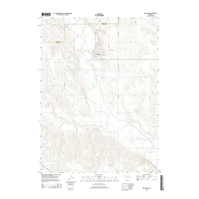 2014 Belgrade2014 Print · USGSThe village of Belgrade and its surrounding river valleys are captured here during the early twenty-first century. Genealogists and local historians can trace family plots at Main Cem or follow the paths of Ash Cr and the Cedar River.
 - 2014 Map of Wolbach NE, 2014 Print
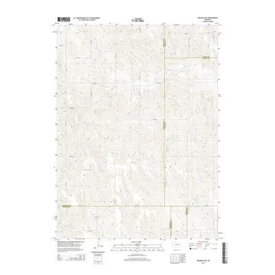 2014 Wolbach NE2014 Print · USGSThe rural borders of five Nebraska counties meet in this 2010s survey, showing a landscape shaped by drainage and a dense road grid. Genealogists and researchers can trace local routes like Brady Rd and Wpa Ave as they cross S Br Timber Cr and Cottonwood Cr.
 - 2014 Map of Cushing, 2014 Print
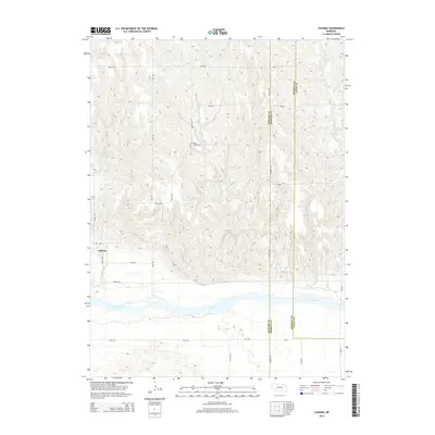 2014 Cushing2014 Print · USGSCushing and the Loup River valley are captured here in the early twenty-first century as agricultural patterns follow the terrain. Genealogists and researchers can locate the Rock Creek Cem and trace the winding paths of Rock Cr and Cottonwood Cr.
 - 2014 Map of Lindsay SW, 2014 Print
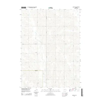 2014 Lindsay SW2014 Print · USGSPlatte County farmland is shown at the transition to Nance County during the early twenty-first century. Genealogists and local historians can locate West Hill Cem or trace the waters of Looking Glass Creek and Shell Creek.
 - 2014 Map of Havens, 2014 Print
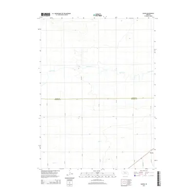 2014 Havens2014 Print · USGSMerrick and Nance Counties are captured in this mid-2010s survey, showing the deep agricultural roots of central Nebraska. Researchers can trace the layout of the small settlement at Havens and the winding paths of Prairie Creek and Silver Cr.
Showing maps 1-25 of 64
Top cities of Nance County
Frequently asked questions
- What are the different types of historical maps available for Nance County?
- What is the oldest map of Nance County?
- Where can I purchase historical maps of Nance County for my home or office?
- Where can I download high-res historical maps of Nance County?
- Are there historical topographic maps available for Nance County?
- Is there historical aerial imagery available for Nance County?
- Where are historical maps of Nance County sourced from?