1980s Maps of Clark County, Nevada
Explore 112 historic maps of Clark County from the 1980s. These maps offer a rare glimpse into what life looked like during the 1980s — showing old roads, neighborhoods, homes, and landmarks that have changed or disappeared over time.
Whether you're researching your family's past, planning a metal detecting trip, or studying how Clark County's landscape evolved across the 1980s, these high-resolution maps are a powerful tool for exploring the history of this region.
- Focus on a specific era: All maps on this page are from the 1980s, giving you a focused view of this time period.
- See what’s changed: Compare century-old streets, trails, and buildings to today's modern landscape using overlays and satellite layers.
- Research with precision: Use these maps for genealogy, historical research, land use analysis, or educational projects.
- View, download, or print: Maps are fully viewable online in high resolution, and can be downloaded or printed for your own records.
Start exploring Clark County's history through authentic maps from the 1980s. This is your window into the past.
Clark County, NV maps
(112)- 1982 Map of Davis Dam, 1983 Print
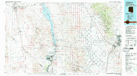 1982 Davis Dam1983 Print · USGSThe Colorado River corridor and the Tri-State area come into focus in the early eighties, showing the growth of Bullhead City and Laughlin near the Davis Dam. Researchers can trace extensive mining operations like the Searchlight Mine or follow the Atchison Topeka and Santa Fe rail line into Kingman.2 unique versions available
 - 1983 Map of Moapa East
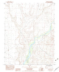
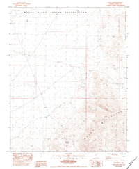
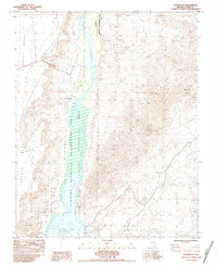
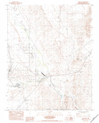 1983 Moapa East1983 Print · USGSThe desert corridor of Clark County comes into focus in the early eighties as rail and road infrastructure converge near the Muddy River. Researchers can trace the Union Pacific line through Moapa, locate Searles Ranch, and identify early aviation landmarks like the Airway Beacon.
 - 1983 Map of Weiser Ridge
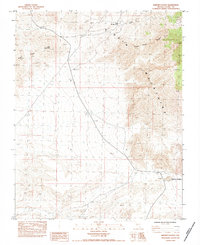
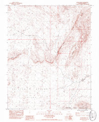
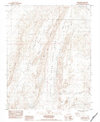 1983 Weiser Ridge1983 Print · USGSIn the early 1980s, this portion of Clark County shows the junction of the Muddy River and the high desert. Researchers can trace the Union Pacific line or explore the boundaries of Valley of Fire State Park and The Bowl.
 - 1983 Map of Muddy Peak
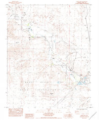
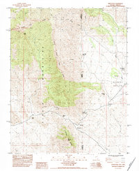
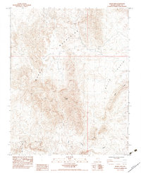 1983 Muddy Peak1983 Print · USGSThe Mojave desert landscape of the early eighties is captured here in detail. Geologists and desert explorers can trace the complex drainage of Lovell Wash and the distinct formation of Muddy Peak or Bitter Ridge.
 - 1983 Map of Overton NE
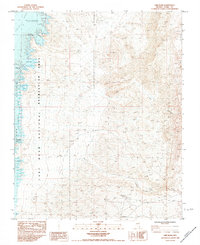
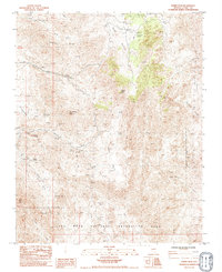
 1983 Overton NE1983 Print · USGSThe Virgin River corridor in Clark County is documented in the early eighties, showcasing the intersection of desert plateaus and riparian lowlands. Researchers can trace the boundaries of the Overton Virgin Wildlife Management Area and the steep escarpments of Mormon Mesa.
 - 1983 Map of Overton NW
 1983 Overton NW1983 Print · USGSSouthern Nevada's arid interior is captured in the early 1980s, showcasing the high plateau of Mormon Mesa. Researchers can trace the infrastructure of the Moapa Valley and locate water sources like P.E.R. Bowman Reservoir.
 - 1983 Map of Boulder City
 1983 Boulder City1983 Print · USGSThe Nevada-Arizona borderlands come alive in the early 1980s, centered on the Colorado River and the industrial activity of the surrounding ranges. Researchers can locate dozens of historic prospects such as the Klondyke Mine, Liberty Mine, and Dixie Queen Mine.2 unique versions available
 - 1983 Map of Nipton
 1983 Nipton1983 Print · USGSThe Mojave Desert frontier comes into focus in the early eighties as the railroad skirts the California-Nevada border. Trace the historic Von Schmidt Line near the settlement of Nipton and isolated water sources like Mesquite Holes.2 unique versions available
 - 1983 Map of Middle Point, 1984 Print
 1983 Middle Point1984 Print · USGSThe Nevada-Arizona borderlands at the confluence of the Colorado and Virgin Rivers are captured here in the early eighties. Boaters and local historians can trace the intricate shoreline of the Overton Arm to find Miners Cove, Jim Jones Reef, and Boathouse Cove.
 - 1983 Map of Devils Throat, 1984 Print
 1983 Devils Throat1984 Print · USGSThe high desert of Clark County is captured here in the early eighties, showing a landscape shaped by mining and geological wonders. Trace the locations of the Tramp Mine, the Prospect, and the namesake Devils Throat sinkhole.
 - 1983 Map of The Temple, 1984 Print
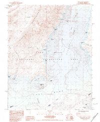
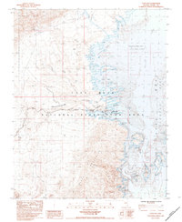
 1983 The Temple1984 Print · USGSThe Lake Mead shoreline in the early eighties reveals a recreation landscape shaped by the Colorado and Virgin Rivers. Trace family memories at Temple Bar Marina or locate landmarks like Plane Crash Island and The Temple.
 - 1983 Map of Iceberg Canyon, 1984 Print
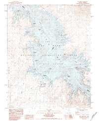
 1983 Iceberg Canyon1984 Print · USGSThe Nevada and Arizona borderlands are captured here in the early eighties as the waters of Lake Mead reached high levels. Boaters and local historians can trace the intricate shoreline of Iceberg Canyon and find remote spots like Driftwood Island or Connoly Spring.
 - 1983 Map of Riverside, 1984 Print
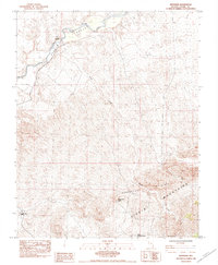 1983 Riverside1984 Print · USGSNortheastern Clark County was still a land of remote ranching and mining outposts in the early eighties. Researchers can trace the legacy of early desert life through landmarks like Juanita Springs Ranch, the Great Eastern Mine, and the waters of North Key West Spring.
 - 1983 Map of Whitney Pocket, 1984 Print
 1983 Whitney Pocket1984 Print · USGSThe Virgin Mountains in the early 1980s reveal a high-desert landscape shaped by mining and remote water sources. Researchers can locate the historic Key West Mine and South Key West Spring, or trace the ridgelines of Black Ridge and Virgin Peak.
 - 1983 Map of Piute Point, 1984 Print
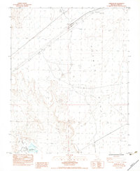
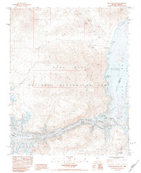
 1983 Piute Point1984 Print · USGSSouthern Nevada's desert landscape was carefully documented in the early eighties as the Moapa River Indian Reservation met the rugged ridges. Trace topographical details near Piute Point and geological features like Buffington Pockets or the California Wash.
 - 1983 Map of Moapa West, 1984 Print
 1983 Moapa West1984 Print · USGSThe Moapa River Valley in the early 1980s reveals a desert landscape shaped by utility corridors and the life-giving waters of the Muddy River. Researchers can trace the legacy of the Moapa River Indian Reservation and locate landmarks like the Westpoint Cem and Warm Springs.
 - 1983 Map of Lime Wash, 1984 Print
 1983 Lime Wash1984 Print · USGSNorth of Lake Mead in the early eighties, the desert landscape meets the rising waters of the reservoir. You can trace the path of the Virgin River as it enters the Overton Arm, locating secluded spots like Quail Bay and Mockingbird Spring.2 unique versions available
 - 1983 Map of Overton SE, 1984 Print
 1983 Overton SE1984 Print · USGSThe Virgin River valley in the early eighties shows a landscape of conservation and resource exploration. Trace the boundaries of the Overton Wildlife Management Area or locate desert mining evidence at the eastern Prospects.
 - 1983 Map of Bitter Spring, 1984 Print
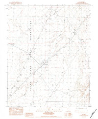
 1983 Bitter Spring1984 Print · USGSThe high desert of Clark County was a landscape of mineral exploration and rugged transit in the early 1980s. Researchers can trace the American Borax Road and locate several remote Prospects near the Muddy Mountains.
 - 1983 Map of Virgin Peak, 1984 Print
 1983 Virgin Peak1984 Print · USGSThe Nevada-Arizona borderlands come into focus in the early 1980s, documenting a landscape defined by mountain passes and isolated water sources. Researchers can trace historic ranching sites like Whitney Ranch and Jacobs Ranch alongside mining Prospects.
 - 1983 Map of Jumbo Peak, 1984 Print
 1983 Jumbo Peak1984 Print · USGSThe high desert of Clark County is shown in the early 1980s as a land of rugged peaks and hidden mineral wealth. Researchers can trace the trails of early prospectors to the Radio Crystal Mine or locate vital water sources like Twin Springs and Grapevine Spring.
 - 1983 Map of Echo Bay, 1984 Print
 1983 Echo Bay1984 Print · USGSAs the 1980s began, the desert shoreline at Echo Bay was a hub for recreation and remote living within the National Recreation Area. Researchers can locate specific infrastructure from the Trailer Park and Boat Ramp to the Landing Strip and Echo Mills.
 - 1983 Map of Boulder Canyon, 1984 Print
 1983 Boulder Canyon1984 Print · USGSThe Nevada-Arizona border comes into sharp focus during the 1980s, revealing the intricate shoreline of the reservoir and the steep walls of the Colorado River corridor. Researchers can trace remote desert landmarks like Sandstone Spring, the passage through The Narrows, and the peaks of the Black Mountains.
 - 1983 Map of Hiller Mountains, 1984 Print
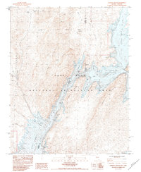
 1983 Hiller Mountains1984 Print · USGSThe Hiller Mountains and Lake Mead shoreline appear here in the early eighties as the recreation area took shape. Trace old mining sites like the Jumbo Mine and Eureka Mine, or explore the complex waters of Scanlon Bay and Virgin Canyon.
 - 1983 Map of Ute, 1984 Print
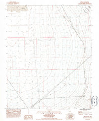
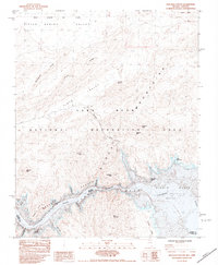
 1983 Ute1984 Print · USGSThe Moapa Valley region in the early eighties highlights the intersection of tribal land and major transport corridors. Trace the path of the Union Pacific rail line as it cuts through the Moapa River Indian Reservation and the North Muddy Mountains.
Showing maps 1-25 of 112
Top cities of Clark County
- Las Vegas historical maps
- Henderson historical maps
- North Las Vegas historical maps
- Enterprise historical maps
- Spring Valley historical maps
- Sunrise Manor historical maps
See more
Frequently asked questions
- What are the different types of historical maps available for Clark County?
- What is the oldest map of Clark County?
- Where can I purchase historical maps of Clark County for my home or office?
- Where can I download high-res historical maps of Clark County?
- Are there historical topographic maps available for Clark County?
- Is there historical aerial imagery available for Clark County?
- Where are historical maps of Clark County sourced from?