2020s Maps of Clark County, Nevada
Explore 142 historic maps of Clark County from the 2020s. These maps offer a rare glimpse into what life looked like during the 2020s — showing old roads, neighborhoods, homes, and landmarks that have changed or disappeared over time.
Whether you're researching your family's past, planning a metal detecting trip, or studying how Clark County's landscape evolved across the 2020s, these high-resolution maps are a powerful tool for exploring the history of this region.
- Focus on a specific era: All maps on this page are from the 2020s, giving you a focused view of this time period.
- See what’s changed: Compare century-old streets, trails, and buildings to today's modern landscape using overlays and satellite layers.
- Research with precision: Use these maps for genealogy, historical research, land use analysis, or educational projects.
- View, download, or print: Maps are fully viewable online in high resolution, and can be downloaded or printed for your own records.
Start exploring Clark County's history through authentic maps from the 2020s. This is your window into the past.
Clark County, NV maps
(142)- 2021 Map of Meadview North, 2021 Print
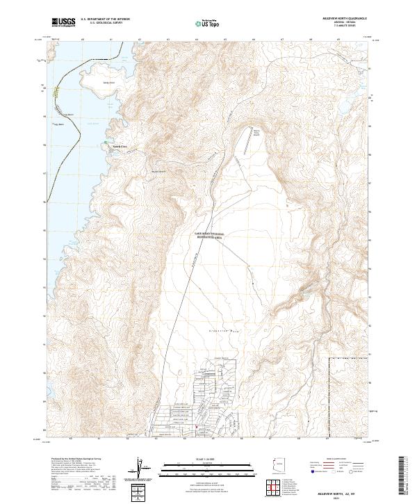 2021 Meadview North2021 Print · USGSThe northern reaches of Meadview, Arizona, appear in the early twenty-first century as a desert landscape shaped by water and recreation. Map collectors and hikers can trace the shoreline of Lake Mead from South Cove to Gregg Basin and explore the residential grid along Meadview Blvd.
 - 2021 Map of Fire Mountain, 2021 Print
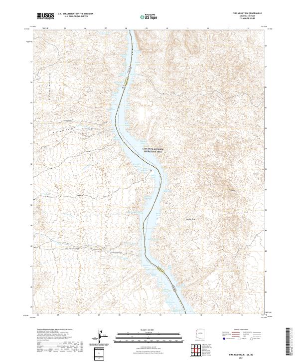 2021 Fire Mountain2021 Print · USGSThe Nevada and Arizona border along the Colorado River comes into focus in the early twenty-first century, showing the canyons and desert washes above Lake Mead. Trace mining and recreational history through labels like Gold Bug Cove, Placer Cove, and Eldorado Canyon.
 - 2021 Map of Spirit Mountain SE, 2021 Print
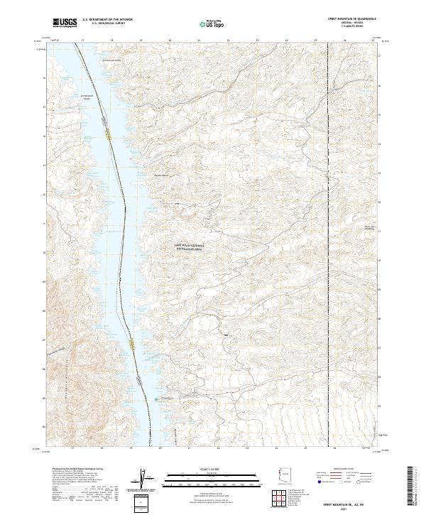 2021 Spirit Mountain SE2021 Print · USGSThe Colorado River borderlands in the early twenty-first century reveal a landscape of deep desert washes and the expansive waters of Lake Mohave. Researchers can trace the shoreline's intricate coves and inland features like Cottonwood Island, Silver Cut Meadows, and the winding Gasoline Alley.
 - 2021 Map of Davis Dam SE, 2021 Print
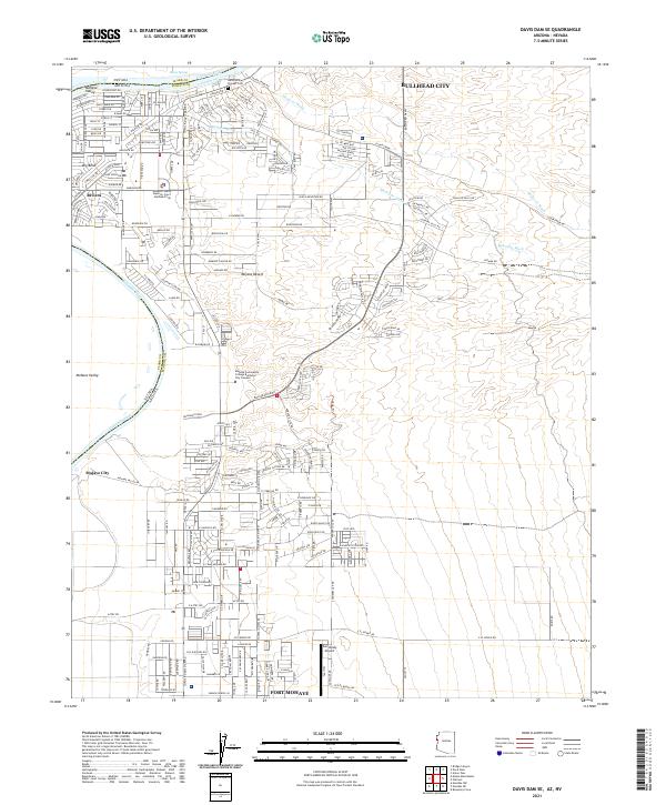 2021 Davis Dam SE2021 Print · USGSThe Colorado River corridor near the Nevada border is shown here during its modern expansion. Researchers can trace the layout of BULLHEAD CITY and FORT MOHAVE, or locate historic sites like the Hardyville Pioneer Cem and Sun Valley Airport.
 - 2021 Map of Spirit Mountain NE, 2021 Print
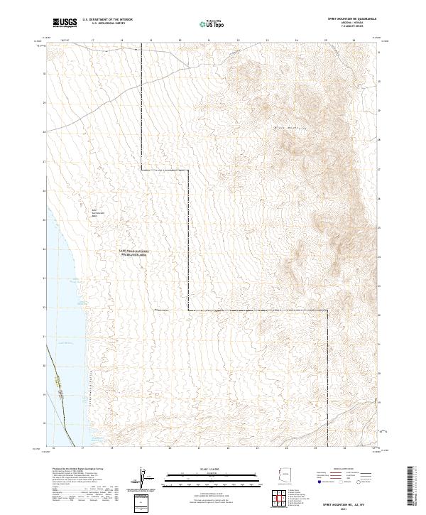 2021 Spirit Mountain NE2021 Print · USGSThe Colorado River borderlands come into focus in the early 2020s, showing the high desert meeting the waters of the Lake Mead National Recreation Area. Trace the shoreline through Glory Cove, Three Mile Cove, and the southern reaches of the Black Mountains.
 - 2021 Map of Willow Beach, 2021 Print
 2021 Willow Beach2021 Print · USGSThe Colorado River corridor near the Nevada-Arizona border is captured here in the early twenty-first century. Outdoor enthusiasts and historians can trace the topography of Black Canyon, the Willow Beach National Fish Hatchery, and the Eldorado Mountains.
 - 2021 Map of Mount Davis, 2021 Print
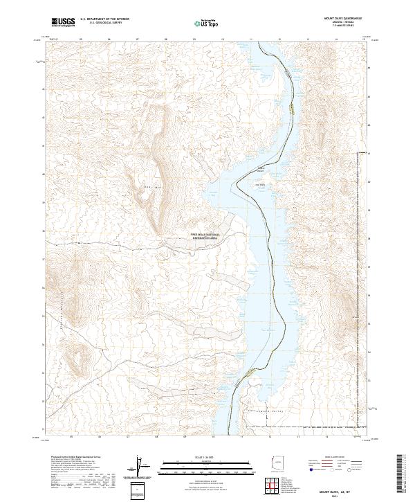 2021 Mount Davis2021 Print · USGSThe Colorado River shoreline comes into focus in this contemporary survey of the Arizona-Nevada border. Researchers can trace the complex geography of Lake Mohave and identify specific landmarks like Opal Mtn, Mt Davis, and Arizona Bay.
 - 2021 Map of Saint Thomas Gap, 2021 Print
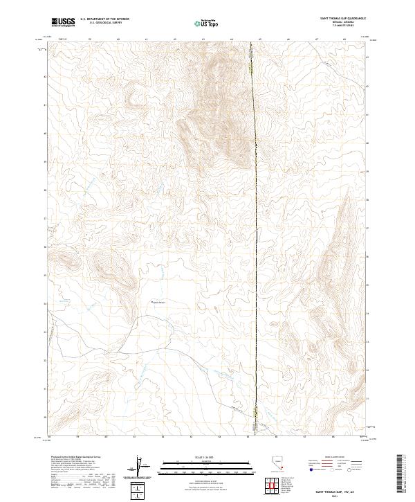 2021 Saint Thomas Gap2021 Print · USGSThe Nevada-Arizona borderland is captured in this modern survey of the high desert at the start of the 2020s. Genealogists and researchers can trace remote desert routes like New Gold Butte Rd and find water landmarks such as Mud Wells and Pussy Willow Wash.
 - 2021 Map of Moapa East, 2021 Print
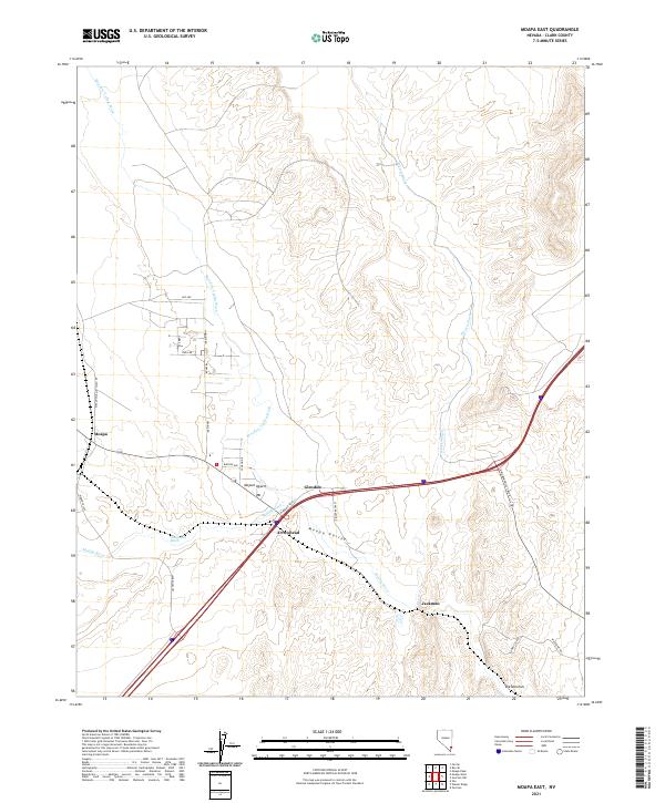 2021 Moapa East2021 Print · USGSThe Moapa Valley in the early 2020s shows a complex network of desert washes and modern settlements centered on the Muddy River. Trace the local geography from the streets of Moapa and Glendale to natural landmarks like The Narrows and Meadow Valley Wash.
 - 2021 Map of Riverside, 2021 Print
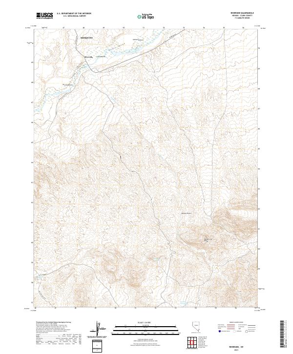 2021 Riverside2021 Print · USGSThe Virgin River valley in Clark County appears here during the early twenty-first century, showing the intersection of desert water sources and local travel. Researchers can trace the river bottoms from Riverside to Arnold Bottom or locate remote sites like Government Spring.
 - 2021 Map of Moapa Peak, 2021 Print
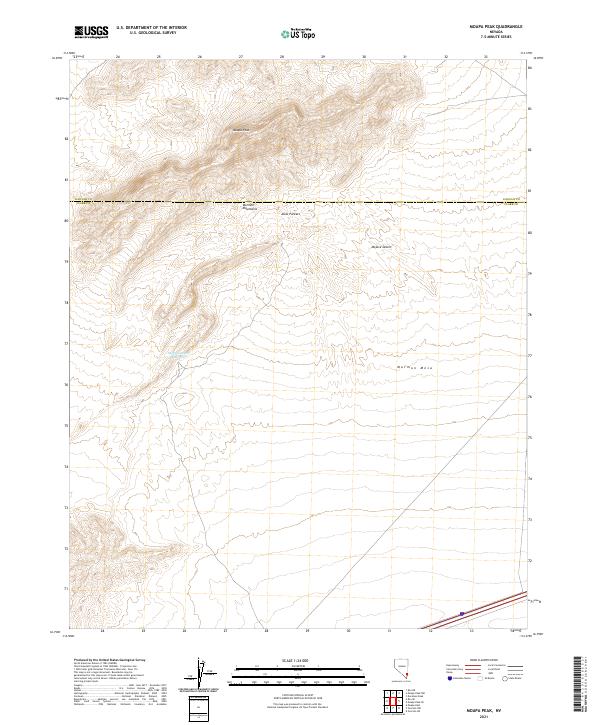 2021 Moapa Peak2021 Print · USGSSouthern Nevada's high desert reveals its complex topography in the early twenty-first century. Researchers can trace the steep ridgelines of the Mormon Mountains down to the Sheep Canyon Reservoir and across the broad Mormon Mesa.
 - 2021 Map of Farrier, 2021 Print
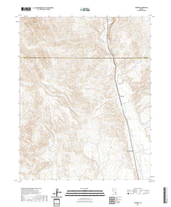 2021 Farrier2021 Print · USGSThe northern reaches of Clark County are captured here in the early twenty-first century, showing the corridor along Meadow Valley Wash. Researchers can trace the desert topography surrounding Moapa Town and find reliable water points like Cane Springs and Grapevine Springs.
 - 2021 Map of Piute Point, 2021 Print
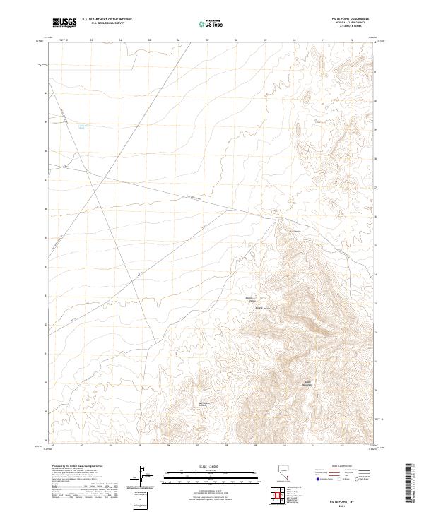 2021 Piute Point2021 Print · USGSThe Clark County desert comes into focus in this recent survey, capturing the rugged intersection of the Muddy Mountains and the Mojave Desert. Trace the legacy of westward travel along the Old Spanish Trail Rd and through the Buffington Pockets.
 - 2021 Map of Arrow Canyon, 2021 Print
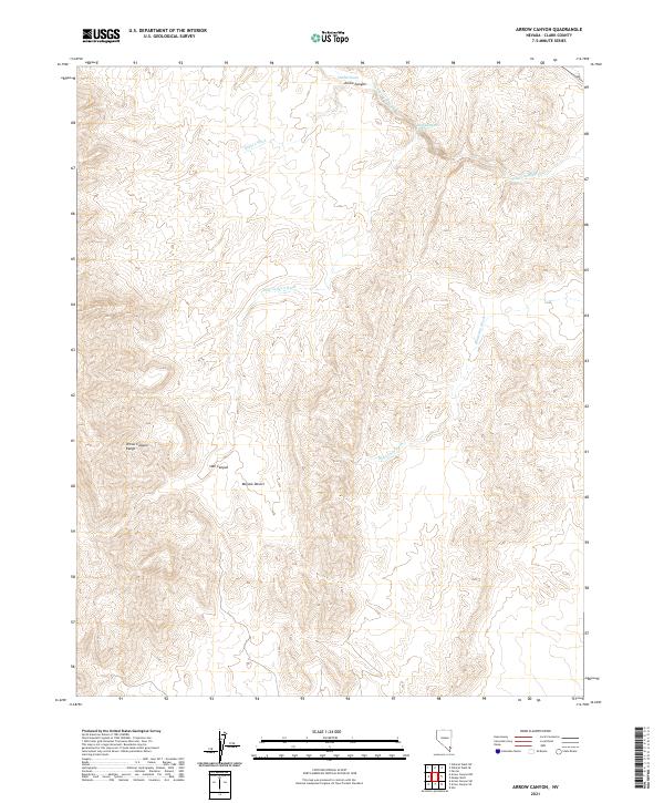 2021 Arrow Canyon2021 Print · USGSThe northern reaches of the Mojave Desert and the steep Arrow Canyon Range are shown here as they appeared in the early 2020s. Geologists and desert explorers can trace the complex drainage networks of Pahranagat Wash, Hidden Wash, and Side Canyon.
 - 2021 Map of Frenchman Mountain, 2021 Print
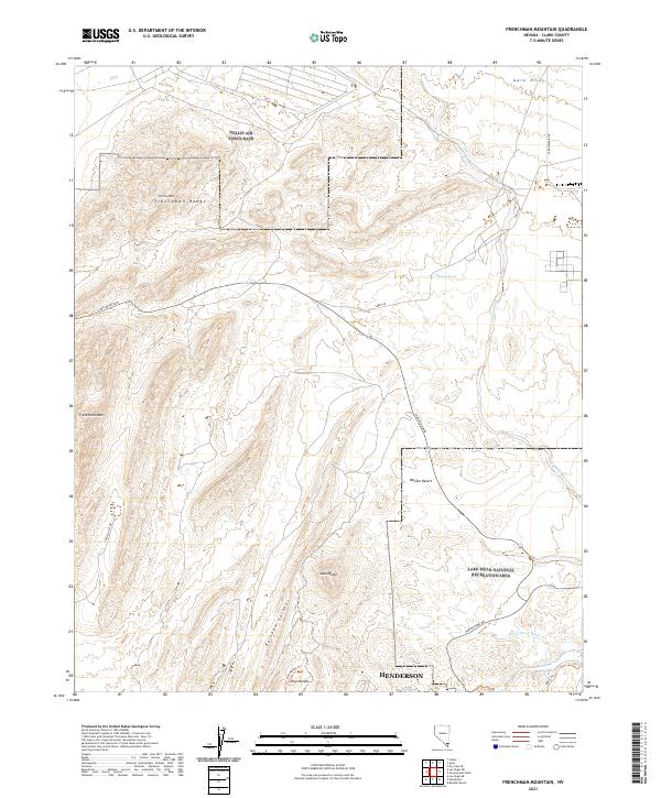 2021 Frenchman Mountain2021 Print · USGSThe eastern fringes of the Las Vegas Valley are documented here in the early 2020s, where urban expansion meets rugged desert terrain. Researchers can trace the boundaries of Nellis Air Force Base and explore geographic landmarks like Frenchman Mtn and the unique geology of Rainbow Gardens.
 - 2021 Map of Iceberg Canyon, 2021 Print
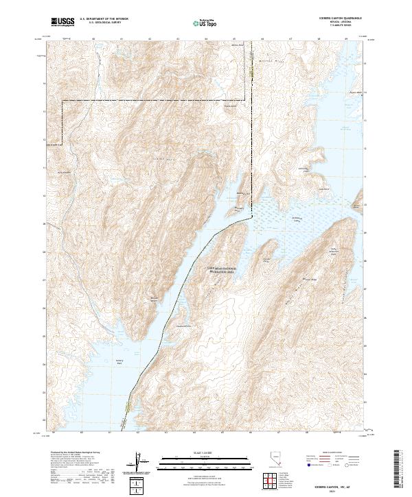 2021 Iceberg Canyon2021 Print · USGSThe Clark County shoreline at the Nevada-Arizona border comes into focus in this contemporary survey of the Lake Mead National Recreation Area. Trace the intricate inlets of Iceberg Canyon, Grand Wash Bay, and the high desert reaches of Hells Kitchen.
 - 2021 Map of Overton NE, 2021 Print
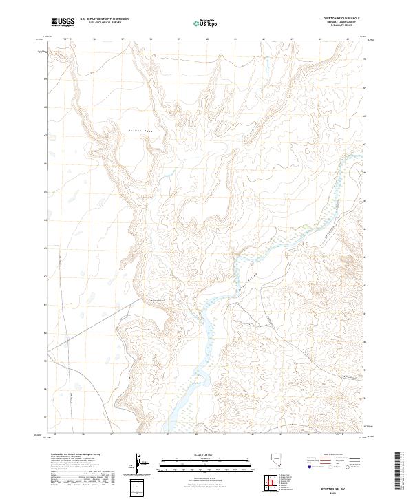 2021 Overton NE2021 Print · USGSThe Virgin River corridor in Clark County is shown here in the early twenty-first century, revealing the dramatic terrain of the Mojave Desert. Researchers can trace the winding Virgin River and the high elevations of Mormon Mesa.
 - 2021 Map of Henderson, 2021 Print
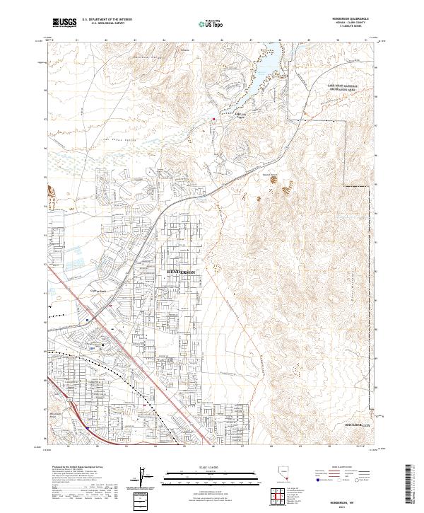 2021 Henderson2021 Print · USGSHenderson and the southeastern Las Vegas Valley are shown at a peak of modern expansion during the early twenty-first century. Researchers can trace street-level growth in Henderson or locate the boundaries of Lake Mead National Recreation Area and Carver Park.
 - 2021 Map of Whitney Pocket, 2021 Print
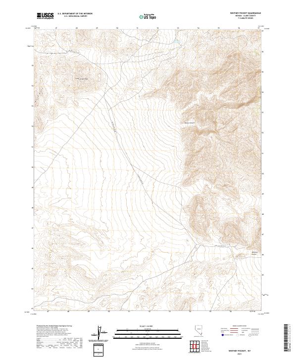 2021 Whitney Pocket2021 Print · USGSThe Clark County desert landscape north of the Colorado River is captured in this recent survey. Local historians and explorers can trace the path of New Gold Butte Rd as it passes Little Virgin Peak and the namesake Whitney Pocket.
 - 2021 Map of Dry Lake NW, 2021 Print
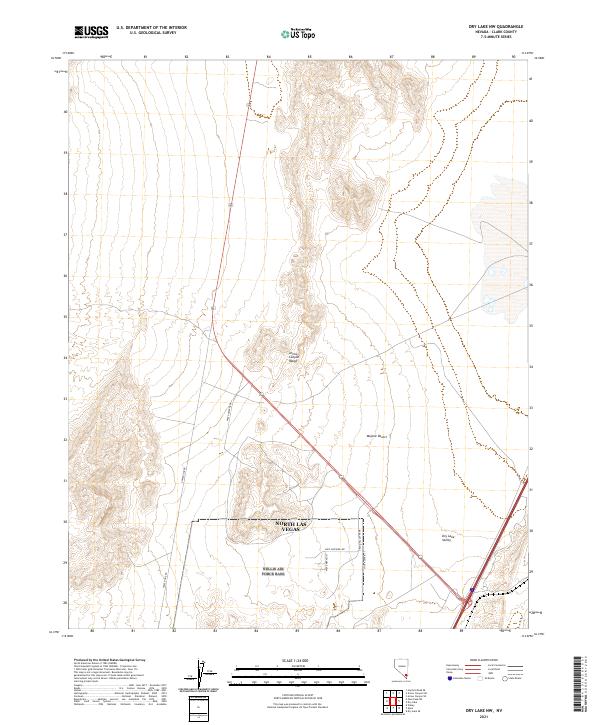 2021 Dry Lake NW2021 Print · USGSThe northern fringes of Clark County meet the high desert in the early 2020s as urban planning reaches into the wilderness. Trace the industrial footprint near North Las Vegas and the rugged topography of the Arrow Canyon Range and Dry Lake Valley.
 - 2021 Map of Muddy Peak, 2021 Print
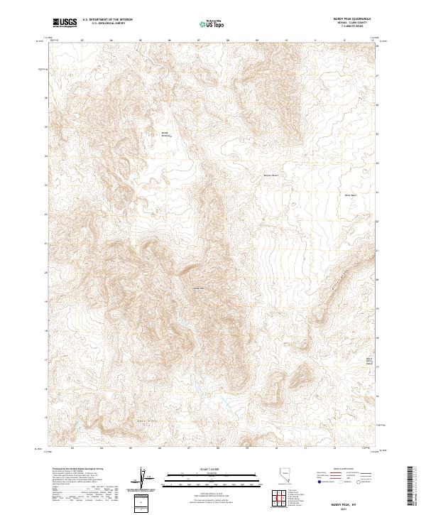 2021 Muddy Peak2021 Print · USGSThe arid landscape of the Muddy Mountains is documented here in the early twenty-first century, showing a region defined by its complex geology. Researchers can trace the drainages of Lovell Wash and identify landmarks like Muddy Peak and White Basin.
 - 2021 Map of Ute, 2021 Print
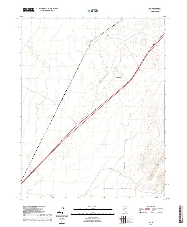 2021 Ute2021 Print · USGSThe Mojave Desert near the town of Ute is shown here in 2021, centered on the transportation corridors crossing Clark County. Researchers can trace the path of the California Wash and locate isolated water sources like Crystal Springs.
 - 2021 Map of Arrow Canyon SW, 2021 Print
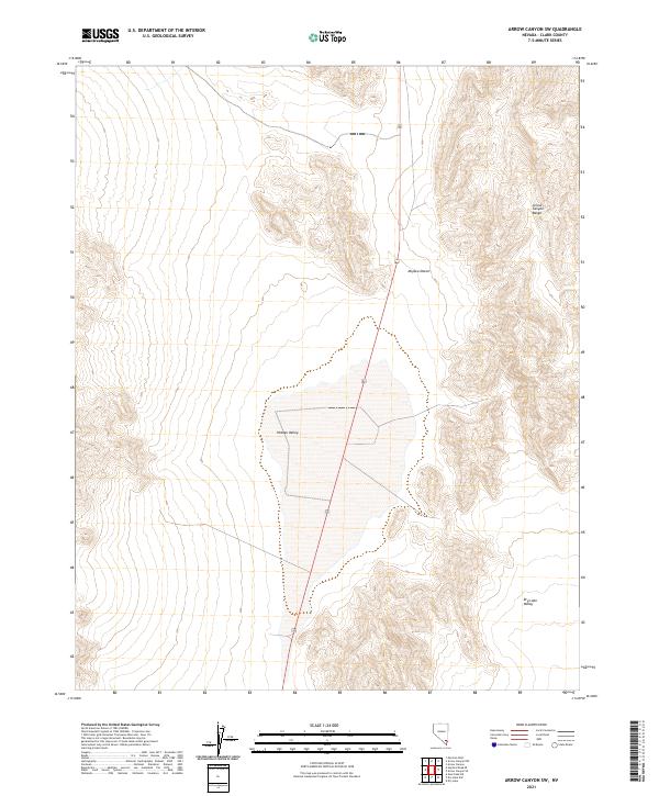 2021 Arrow Canyon SW2021 Print · USGSThe Clark County desert landscape comes into sharp focus during the early twenty-first century, showing a remote region defined by high ridges and alluvial basins. Researchers can trace the path of Route 93 through the wide expanse of Hidden Valley and the rugged Arrow Canyon Range.
 - 2021 Map of Valley of Fire West, 2021 Print
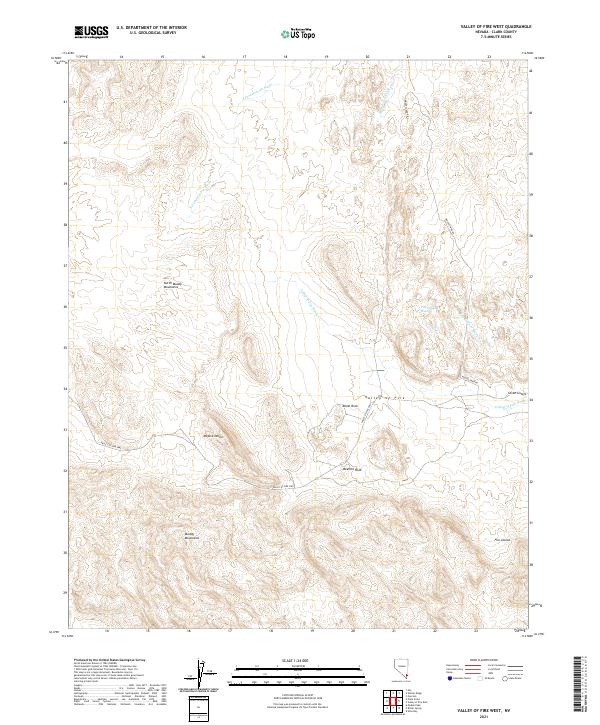 2021 Valley of Fire West2021 Print · USGSThe eastern Mojave Desert is captured here in the early twenty-first century, showcasing the unique geological formations of the Valley of Fire. Trace the routes of the Valley of Fire Hwy to landmarks like Atlatl Rock and the Seven Sisters.
 - 2021 Map of Weiser Ridge, 2021 Print
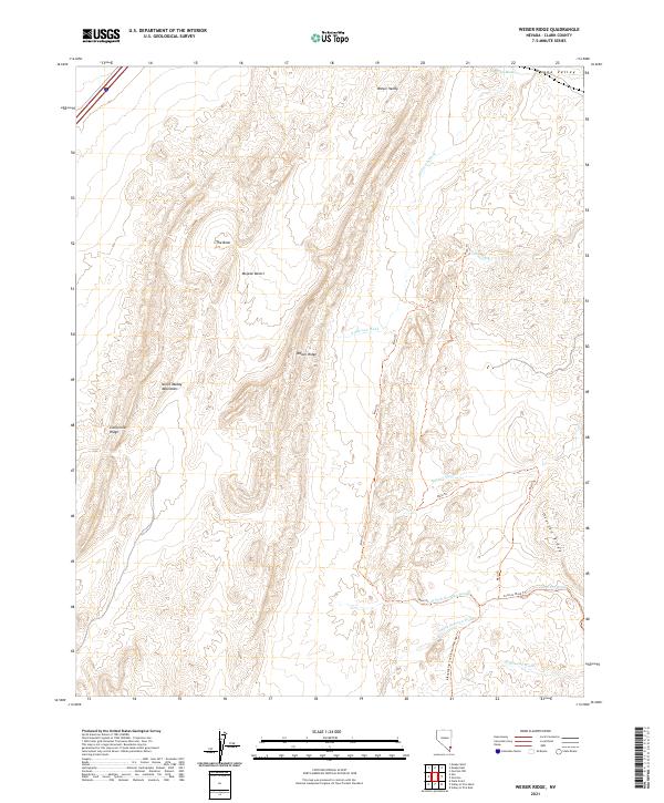 2021 Weiser Ridge2021 Print · USGSThe arid desert landscape of Clark County comes into focus in the early twenty-first century. Researchers and outdoor enthusiasts can trace the Main Trl through the North Muddy Mountains and follow the route of Bikepacking: The Plateau Passage Trl across Weiser Ridge.
Showing maps 1-25 of 142
Top cities of Clark County
- Las Vegas historical maps
- Henderson historical maps
- North Las Vegas historical maps
- Enterprise historical maps
- Spring Valley historical maps
- Sunrise Manor historical maps
See more
Frequently asked questions
- What are the different types of historical maps available for Clark County?
- What is the oldest map of Clark County?
- Where can I purchase historical maps of Clark County for my home or office?
- Where can I download high-res historical maps of Clark County?
- Are there historical topographic maps available for Clark County?
- Is there historical aerial imagery available for Clark County?
- Where are historical maps of Clark County sourced from?