1970s Maps of Clark County, Nevada
Explore 40 historic maps of Clark County from the 1970s. These maps offer a rare glimpse into what life looked like during the 1970s — showing old roads, neighborhoods, homes, and landmarks that have changed or disappeared over time.
Whether you're researching your family's past, planning a metal detecting trip, or studying how Clark County's landscape evolved across the 1970s, these high-resolution maps are a powerful tool for exploring the history of this region.
- Focus on a specific era: All maps on this page are from the 1970s, giving you a focused view of this time period.
- See what’s changed: Compare century-old streets, trails, and buildings to today's modern landscape using overlays and satellite layers.
- Research with precision: Use these maps for genealogy, historical research, land use analysis, or educational projects.
- View, download, or print: Maps are fully viewable online in high resolution, and can be downloaded or printed for your own records.
Start exploring Clark County's history through authentic maps from the 1970s. This is your window into the past.
Clark County, NV maps
(40)- 1970 Map of Virgin Basin, 1972 Print
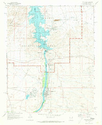
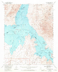 1970 Virgin Basin1972 Print · USGSThe Nevada and Arizona borderlands meet at the confluence of the Colorado and Virgin Rivers in the mid-twentieth century. Trace the early development of Temple Bar Marina and find remote sites like Bonelli Landing and the Lakeside Mine.2 unique versions available
 - 1970 Map of Henderson, 1972 Print
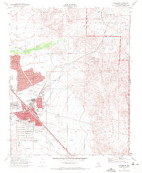 1970 Henderson1972 Print · USGSHenderson and the southeastern Las Vegas Valley appear here at the start of the 1970s, showcasing a growing desert city. Researchers can trace local neighborhoods like Carver Park, industrial landmarks such as the Three Kids Mine, and the route of the Union Pacific railroad.4 unique versions available
 - 1970 Map of Frenchman Mtn., 1972 Print
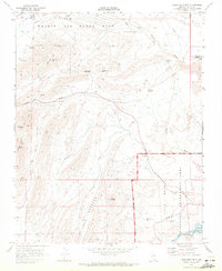 1970 Frenchman Mtn.1972 Print · USGSEast of Las Vegas in the early seventies, this desert landscape shows the rugged meeting of military operations and recreation. Researchers can trace the path of Lake Mead Boulevard past Sunrise Mtn, Gypsum Cave, and the industrial sites of Rainbow Gardens.2 unique versions available
 - 1970 Map of Boulder Beach, 1973 Print
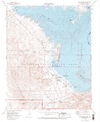 1970 Boulder Beach1973 Print · USGSLake Mead in the early seventies shows a landscape defined by critical water infrastructure and desert recreation. Trace the Old Railroad Grade past the Lake Mead Lodge or locate early facilities like the Hemenway Campground.2 unique versions available
 - 1970 Map of Bridge Canyon, 1973 Print
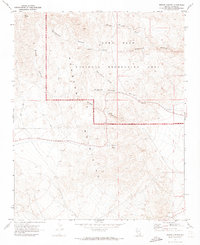 1970 Bridge Canyon1973 Print · USGSThe Newberry Mountains in the early seventies remain a territory of ancient rock art and remote desert canyons. Trace the locations of Petroglyphs near Hiko Springs or follow the winding Jeep Trail through Grapevine Canyon.2 unique versions available
 - 1970 Map of Mt. Manchester, 1973 Print
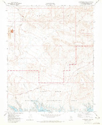
 1970 Mt. Manchester1973 Print · USGSThe tri-state border region along the Colorado River is captured here as it appeared in the early 1970s. Researchers can trace the Von Schmidt Line, locate the Riviera settlement, and find historical Petroglyphs in the desert mountains.3 unique versions available
 - 1970 Map of Davis Dam SE, 1973 Print
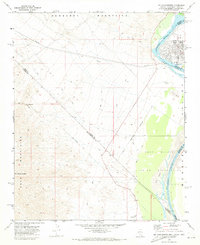
 1970 Davis Dam SE1973 Print · USGSThe Colorado River shoreline in the early seventies shows the growing desert communities of Bullhead City and Riviera as they expanded eastward. Genealogists and historians can locate the Hardyville Mill (Ruins) and burial sites like Cem Grave within the Fort Mohave Indian Reservation.5 unique versions available
 - 1970 Map of Government Wash, 1973 Print
 1970 Government Wash1973 Print · USGSThe northern reaches of Lake Mead come into focus in the early seventies, capturing the desert landscape before modern expansion. Trace the intersection of industry and recreation through the Strip Mine works, Las Vegas Bay, and the Gale Hills.
 - 1970 Map of Davis Dam, 1973 Print
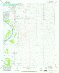
 1970 Davis Dam1973 Print · USGSThe Colorado River corridor underwent significant change around 1970 as industrial energy and desert tourism met at the Nevada border. Researchers can trace the industrial footprint of the Mohave Generating Station and local history at Katherine Mine or Laughlin.3 unique versions available
 - 1972 Map of Blue Diamond NE, 1974 Print
 1972 Blue Diamond NE1974 Print · USGSThe western edges of Clark County are captured here in the early 1970s, as the desert terrain met the first signs of urban growth. Researchers can trace the early path of Charleston Blvd and find landmarks like Memory Gardens (Cem) and Lone Mountain.3 unique versions available
 - 1972 Map of Blue Diamond SE, 1974 Print
 1972 Blue Diamond SE1974 Print · USGSClark County in the early seventies shows the desert beginning to yield to the expanding infrastructure of the Las Vegas Valley. Genealogists and historians can trace the early layout of Flamingo Rd and Sunset Road alongside industrial prospects and the Union Pacific rail line at Bard.2 unique versions available
 - 1972 Map of Blue Diamond, 1974 Print
 1972 Blue Diamond1974 Print · USGSThe desert landscape of Clark County is captured here in the early 1970s, focused on the settlement of Blue Diamond and its surrounding ranchlands. Genealogists and historians can locate family sites like Oliver Ranch, Bonnie Springs, and the Union Pacific rail corridor.3 unique versions available
 - 1972 Map of La Madre Mtn, 1974 Print
 1972 La Madre Mtn1974 Print · USGSThe high desert of Clark County is captured here in the early 1970s, featuring the rise of public recreation. Trace the paths of the Red Rock Scenic Drive past Turtlehead Mtn and the springs of the Calico Basin.4 unique versions available
 - 1973 Map of White Sage Flat, 1976 Print
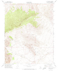
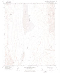
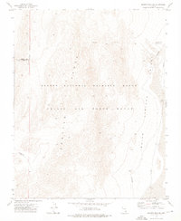
 1973 White Sage Flat1976 Print · USGSSouthern Nevada in the early seventies shows a landscape divided between conservation and military use. Genealogists and historians can trace the paths of the Alamo Road and Pack Trail past landmarks like White Sage Reservoir and the Prospects of Banded Ridge.
 - 1973 Map of Heavens Well, 1976 Print
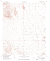
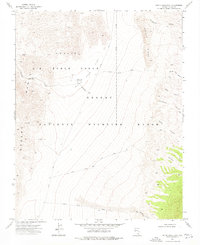
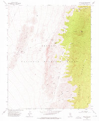
 1973 Heavens Well1976 Print · USGSThe Pintwater Range and adjacent desert basins are captured here during the early 1970s, showcasing a landscape defined by military and wildlife ranges. Researchers can trace remote landmarks like Heavens Well, the Protective Dome, and a designated Target.2 unique versions available
 - 1973 Map of Tim Spring, 1976 Print
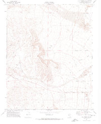
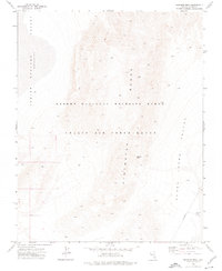
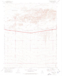
 1973 Tim Spring1976 Print · USGSThe Pintwater Range in southern Nevada is documented here during the early 1970s, showcasing a landscape managed for both military use and wildlife conservation. Researchers can locate the namesake Tim Spring and the geologically significant Pintwater Cave set against the backdrop of Indian Springs Valley.2 unique versions available
 - 1973 Map of Dog Bone Lake South, 1976 Print
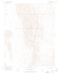
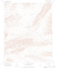
 1973 Dog Bone Lake South1976 Print · USGSThe Nevada desert basins of the 1970s appear as a intersection of conservation and military training grounds. Researchers can trace the boundaries of the Desert National Wildlife Range and find remote sites like Dog Bone Lake and the Three Lakes Valley Reservoir.
 - 1973 Map of Black Hills, 1976 Print
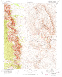
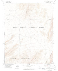
 1973 Black Hills1976 Print · USGSThe Clark County desert in the 1970s is shown here as a landscape of isolated springs and remote mountain gaps within the Desert National Wildlife Range. Researchers can trace old routes like Alamo Road to find local landmarks such as Cow Camp Spring, Wildhorse Pass, and Black Hills Gap.
 - 1973 Map of Mercury SE, 1976 Print
 1973 Mercury SE1976 Print · USGSSouthern Nevada's desert landscape was a study in federal land management during the 1970s, where military and wildlife interests met. Researchers can trace the Wildlife Military Reservation Boundary and locate early infrastructure like Drill Holes and several Borrow Pits along Highway 95.2 unique versions available
 - 1973 Map of Mercury NE, 1976 Print
 1973 Mercury NE1976 Print · USGSSouthern Nevada's restricted high-desert basins and limestone peaks are captured here in the early 1970s. Trace the remote network of a Jeep Trail through the Spotted Range and across the Military Reservation Boundary.2 unique versions available
 - 1973 Map of Quartz Peak SW, 1976 Print
 1973 Quartz Peak SW1976 Print · USGSSouthern Nevada in the early 1970s is shown as a vast intersection of military and conservation lands. Researchers can trace the rugged peaks of the Spotted Range and the restricted boundaries of the Nellis Air Force Range.2 unique versions available
 - 1973 Map of Frenchman Lake SE, 1976 Print
 1973 Frenchman Lake SE1976 Print · USGSThe high Nevada desert at the start of the 1970s reveals a landscape defined by military and wildlife preserves. Researchers can locate remote infrastructure like Bunker and a Test Well set against the Buried Hills and Spotted Range.
 - 1973 Map of Black Hills NW, 1976 Print
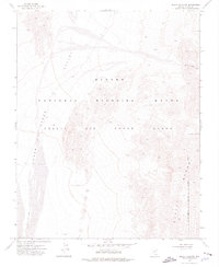 1973 Black Hills NW1976 Print · USGSSouthern Nevada in the early seventies reveals a landscape partitioned for military and conservation purposes. Researchers can trace the overlap of the Desert National Wildlife Range and Nellis Air Force Range, including a specific Target Area.
 - 1973 Map of Dead Horse Ridge, 1976 Print
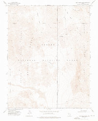 1973 Dead Horse Ridge1976 Print · USGSThe high deserts of Clark and Lincoln Counties are captured in the early seventies, spanning managed wildlife habitat and restricted military grounds. Trace the winding Alamo Road past Sheep Pass Guzzler or follow the remote Dead Horse Trail.2 unique versions available
 - 1973 Map of Indian Springs NW, 1976 Print
 1973 Indian Springs NW1976 Print · USGSSouthern Nevada in the early seventies reveals a landscape of high-desert basins and restricted military zones. Researchers can trace the perimeter of the Nellis Air Force Range and locate remote operational features like the Landing Strip and various towers.
Showing maps 1-25 of 40
Top cities of Clark County
- Las Vegas historical maps
- Henderson historical maps
- North Las Vegas historical maps
- Enterprise historical maps
- Spring Valley historical maps
- Sunrise Manor historical maps
See more
Frequently asked questions
- What are the different types of historical maps available for Clark County?
- What is the oldest map of Clark County?
- Where can I purchase historical maps of Clark County for my home or office?
- Where can I download high-res historical maps of Clark County?
- Are there historical topographic maps available for Clark County?
- Is there historical aerial imagery available for Clark County?
- Where are historical maps of Clark County sourced from?