2020s Maps of Catron County, New Mexico
Explore 266 historic maps of Catron County from the 2020s. These maps offer a rare glimpse into what life looked like during the 2020s — showing old roads, neighborhoods, homes, and landmarks that have changed or disappeared over time.
Whether you're researching your family's past, planning a metal detecting trip, or studying how Catron County's landscape evolved across the 2020s, these high-resolution maps are a powerful tool for exploring the history of this region.
- Focus on a specific era: All maps on this page are from the 2020s, giving you a focused view of this time period.
- See what’s changed: Compare century-old streets, trails, and buildings to today's modern landscape using overlays and satellite layers.
- Research with precision: Use these maps for genealogy, historical research, land use analysis, or educational projects.
- View, download, or print: Maps are fully viewable online in high resolution, and can be downloaded or printed for your own records.
Start exploring Catron County's history through authentic maps from the 2020s. This is your window into the past.
Catron County, NM maps
(266)- 2020 Map of Harden Cienega, 2020 Print
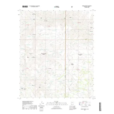 2020 Harden Cienega2020 Print · USGSThe New Mexico and Arizona borderlands are captured here in the contemporary era, showing the intersection of two major national forests. Researchers can trace the high-country ranching infrastructure through features like Harden Cienega Rd, Baldy Mtn, and the San Francisco River.
 - 2020 Map of Tularosa Canyon, 2020 Print
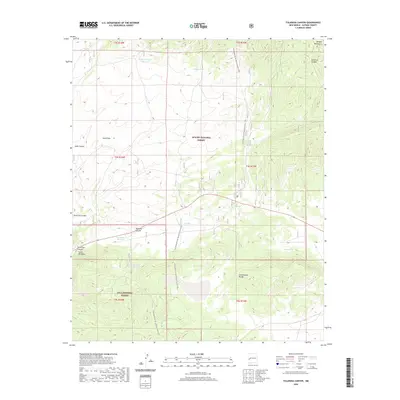 2020 Tularosa Canyon2020 Print · USGSCatron County's high forest lands are documented here in the early 2020s as they span the divide between two national forests. Trace the Continental Divide National Scenic Trail past vital water points like Celso Spring and Willow Tank.
 - 2020 Map of Negrito Mountain, 2020 Print
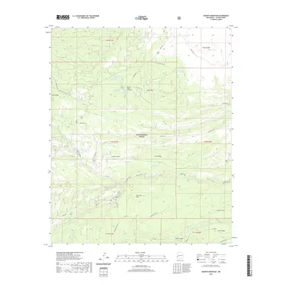 2020 Negrito Mountain2020 Print · USGSCatron County’s high forest lands are captured here in the modern era, showing a complex landscape of drainages and named mountain tanks. Researchers can trace the rugged geography of the Gila National Forest through landmarks like Negrito Mtn, Adam Hoague Lake, and Burnt Cabin Cienega.
 - 2020 Map of Loco Mountain, 2020 Print
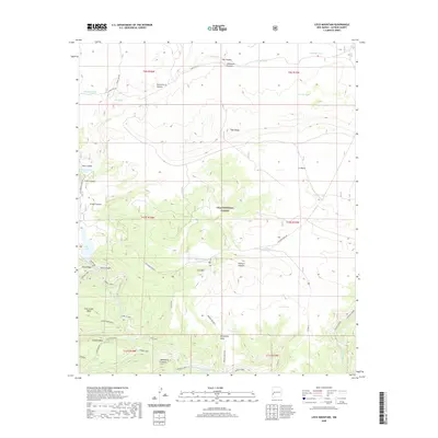 2020 Loco Mountain2020 Print · USGSCatron County, New Mexico, is shown here in the 2020s, dominated by the high mesas and deep canyons of the Gila National Forest. Researchers can trace the water-management history of the high desert through features like Snow Lake, Clayton Spring, and Loco Mountain Tank.
 - 2020 Map of Glenwood, 2020 Print
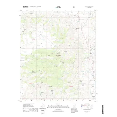 2020 Glenwood2020 Print · USGSThe San Francisco River valley and Gila National Forest are shown here in modern detail. Local historians can trace the landscape around Glenwood, identify sites like Glenwood Cem, and explore the canyon networks of Sierra Aguilada.
 - 2020 Map of Sign Camp Mountain, 2020 Print
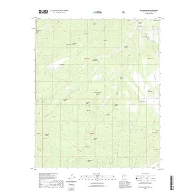 2020 Sign Camp Mountain2020 Print · USGSCatron County's high forest landscape is documented here in the 2020s, showing the intricate drainages around the Mogollon Divide. Researchers can locate historic water sources and landmarks like Old Cabin Spring, Sign Camp, and the high peak of Sign Camp Mountain.
 - 2020 Map of O Bar O Canyon West, 2020 Print
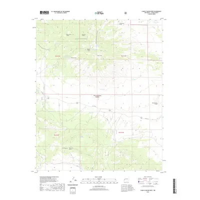 2020 O Bar O Canyon West2020 Print · USGSCatron County's high-country terrain is captured here in the contemporary era, showing where ranching infrastructure meets protected wilderness. Outdoorsmen and historians can trace the Continental Divide National Scenic Trail past remote landmarks like O Bar O Mtn and Mesa Redonda Spring.
 - 2020 Map of Collins Park, 2020 Print
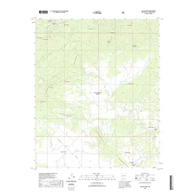 2020 Collins Park2020 Print · USGSHigh in the Catron County wilderness during the early twenty-first century, this area shows the intersection of the Continental Divide and the Gila National Forest. Trace backcountry routes along Bursum Rd to find Collins Park, Ghost Lake, and the winding Continental Divide National Scenic Trail.
 - 2020 Map of Reserve, 2020 Print
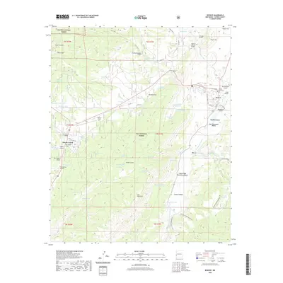 2020 Reserve2020 Print · USGSCatron County settlement and ranching life are captured here along the river valleys of western New Mexico. Genealogists and historians can trace the sequence of plaza communities from San Francisco Plaza to Lower Frisco and locate the Catron County Courthouse in Reserve.
 - 2020 Map of Gila Hot Springs, 2020 Print
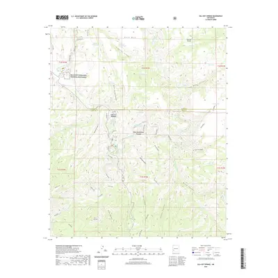 2020 Gila Hot Springs2020 Print · USGSUpper Gila River country in the twenty-first century remains a landscape of deep canyons and thermal springs. Researchers can locate the historic Lyons Hunting Lodge Hot Spring, the remote Alum Camp, and the renowned Gila Cliff Dwellings National Monument.
 - 2020 Map of Squirrel Springs Canyon, 2020 Print
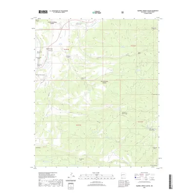 2020 Squirrel Springs Canyon2020 Print · USGSCatron County’s high-country canyons and forest boundaries are documented in this recent survey. Researchers can trace remote water sources and forest routes like Squirrel Spring, Wagontongue Mtn, and the Tularosa River.
 - 2020 Map of Wilson Mountain, 2020 Print
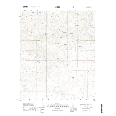 2020 Wilson Mountain2020 Print · USGSThe high wilderness of the Gila National Forest is documented here in the early twenty-first century, showing the remote peaks and river canyons of Grant and Catron counties. Researchers can locate geothermal sites like San Francisco Hot Springs and trace ranching routes past Goat Corral and Wilson Mtn.
 - 2020 Map of Cruzville, 2020 Print
 2020 Cruzville2020 Print · USGSIn the New Mexico high country near the turn of the decade, this survey shows the rural settlement of Cruzville and the Tularosa River canyon lands. Trace the distribution of essential water sources like Wild Olive Spring and historic family sites at Higgins Flat.
 - 2020 Map of Woodland Park, 2020 Print
 2020 Woodland Park2020 Print · USGSCatron County's high forest terrain is captured here in the early twenty-first century as the Middle Fork Gila River winds through deep canyons. Researchers can trace the legacy of early land use through features like Homestead road and Nat Straw Canyon.
 - 2020 Map of Diablo Range, 2020 Print
 2020 Diablo Range2020 Print · USGSGrant County’s high country is preserved in this modern survey of the Gila National Forest and the Mogollon Mountains. Genealogists and historians can trace the rugged topography around Horse Spring, White Pinnacle, and Hells Canyon.
 - 2020 Map of Burnt Corral Canyon, 2020 Print
 2020 Burnt Corral Canyon2020 Print · USGSCatron County ranching and forest lands are documented here in the early twenty-first century. Researchers can trace land use through namesake features like Montoya Pasture and a vast network of stock tanks including Burnt Corral Tank and Rock Bottom Tank.
 - 2020 Map of Saliz Pass, 2020 Print
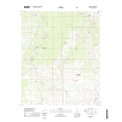 2020 Saliz Pass2020 Print · USGSCatron County’s high-country terrain is documented here in the early twenty-first century at the boundary of two national forests. Trace remote backcountry routes like the Kelly Camp Trail and locate named landmarks such as Saliz Pass and Gut Ache Mesa.
 - 2020 Map of Centerfire Bog, 2020 Print
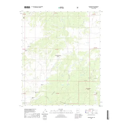 2020 Centerfire Bog2020 Print · USGSWestern New Mexico high country is mapped here during the early twenty-first century, showcasing a landscape of national forests and high-desert basins. Trace remote landmarks like Centerfire Bog, the rugged Bear Canyon, and historic water sources such as Todd Browning Spring.
 - 2020 Map of Grouse Mountain, 2020 Print
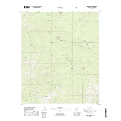 2020 Grouse Mountain2020 Print · USGSThe high Mogollon Mountains of Catron County are captured here in the 2020s, showing a landscape of deep canyons and towering peaks. Researchers can trace historic backcountry routes like the Golden Link and Holt-Apache Trail near Whitewater Baldy.
 - 2020 Map of Wall Lake, 2020 Print
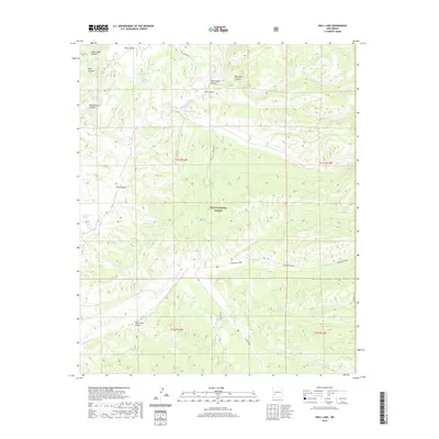 2020 Wall Lake2020 Print · USGSCatron County, New Mexico, is shown in 2020 as a rugged landscape of high-elevation water management and forest service routes. Researchers can trace the drainage patterns of Diamond Creek and locate remote landmarks like Wall Lake and Undertaker Tank.
 - 2020 Map of Holt Mountain, 2020 Print
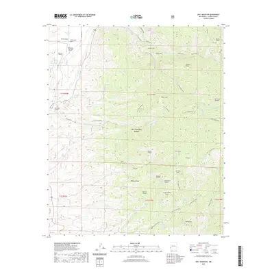 2020 Holt Mountain2020 Print · USGSThe high wilderness of Catron County comes into focus in the early twenty-first century, showing the rugged backcountry of the Gila National Forest. Researchers can trace the lines of the Holt-Apache Trail and locate sites like Johnsons Cabin and Dripping Gold Spring.
 - 2020 Map of Little Turkey Park, 2020 Print
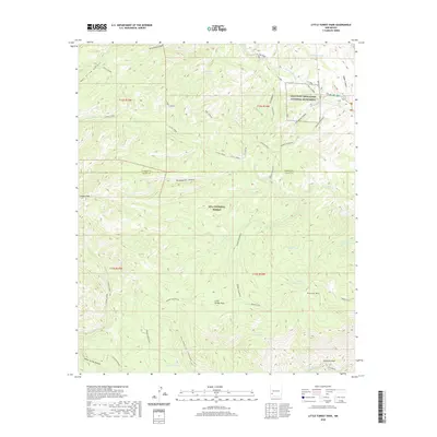 2020 Little Turkey Park2020 Print · USGSThe high wilderness of Grant County is documented in the modern era, centering on the Gila Cliff Dwellings National Monument. Researchers can trace the drainage of the W Fork Gila River and locate historic livestock tanks like Lost Mule Tank and Sycamore Tank.
 - 2020 Map of Bearwallow Mountain, 2020 Print
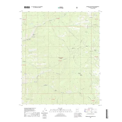 2020 Bearwallow Mountain2020 Print · USGSThe high peaks of the Mogollon Mountains are captured here in the early twenty-first century. Researchers can trace historic forest access via the B.S. Trail and Bearwallow Lookout Rd while locating remote water sources like Turkey Spring and Bear Canyon Spring.
 - 2020 Map of Spring Canyon, 2020 Print
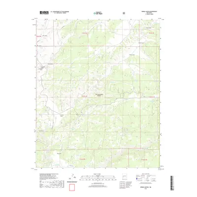 2020 Spring Canyon2020 Print · USGSThe high mesas of Catron County's southwest interior were meticulously mapped in 2020 within the Gila National Forest. Researchers can trace the water infrastructure of this remote country through dozens of named landmarks like V-Cross-T Lake, Good Heavens Tank, and Kemp Mesa.
 - 2020 Map of Bell Peak, 2020 Print
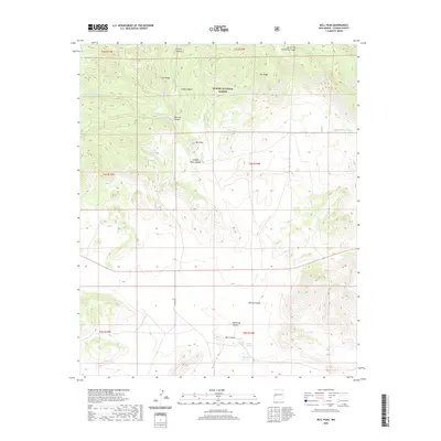 2020 Bell Peak2020 Print · USGSThe high country of the Apache National Forest in the 2020s is defined by a network of canyons and vital water catchments. Genealogists and historians can trace old landmarks and watering holes like Paterson Spring, Bell Peak, and Bursum Rd.
Showing maps 1-25 of 266
Top cities of Catron County
Frequently asked questions
- What are the different types of historical maps available for Catron County?
- What is the oldest map of Catron County?
- Where can I purchase historical maps of Catron County for my home or office?
- Where can I download high-res historical maps of Catron County?
- Are there historical topographic maps available for Catron County?
- Is there historical aerial imagery available for Catron County?
- Where are historical maps of Catron County sourced from?