2010s Maps of Catron County, New Mexico
Explore 414 historic maps of Catron County from the 2010s. These maps offer a rare glimpse into what life looked like during the 2010s — showing old roads, neighborhoods, homes, and landmarks that have changed or disappeared over time.
Whether you're researching your family's past, planning a metal detecting trip, or studying how Catron County's landscape evolved across the 2010s, these high-resolution maps are a powerful tool for exploring the history of this region.
- Focus on a specific era: All maps on this page are from the 2010s, giving you a focused view of this time period.
- See what’s changed: Compare century-old streets, trails, and buildings to today's modern landscape using overlays and satellite layers.
- Research with precision: Use these maps for genealogy, historical research, land use analysis, or educational projects.
- View, download, or print: Maps are fully viewable online in high resolution, and can be downloaded or printed for your own records.
Start exploring Catron County's history through authentic maps from the 2010s. This is your window into the past.
Catron County, NM maps
(414)- 2010 Map of Luera Mountains East, 2010 Print
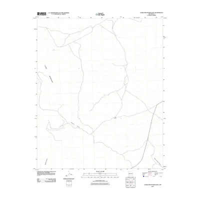 2010 Luera Mountains East2010 Print · USGSCatron County ranch lands and high-desert peaks are documented here as they appeared in 2010. Researchers can trace land use around Luera Ranch and locate remote natural landmarks like Luera Spring and the depths of Patrocino Canyon.
 - 2010 Map of Luera Mountains West, 2010 Print
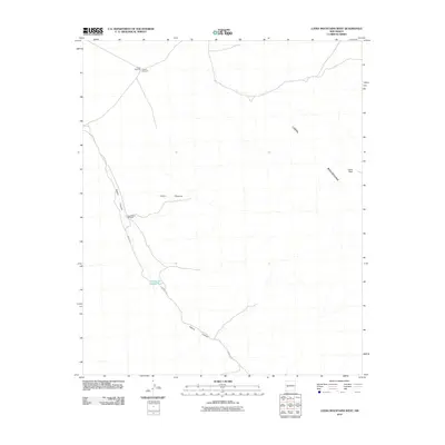 2010 Luera Mountains West2010 Print · USGSCatron County ranching country is documented here in the early twenty-first century, showing the essential water infrastructure of the high desert. Researchers can locate remote sites like Elosia Windmill and Hay Pasture Windmill near the slopes of Luera Peak.
 - 2010 Map of Luera Mountains NW, 2010 Print
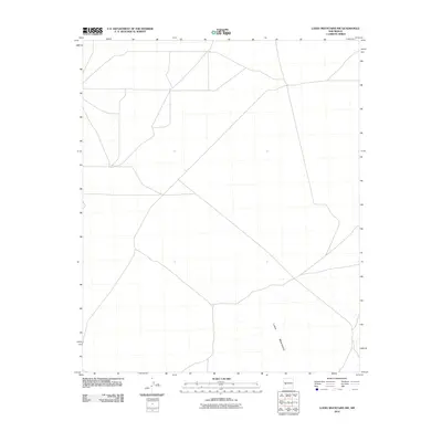 2010 Luera Mountains NW2010 Print · USGSCatron County, New Mexico is documented in this 2010 survey during an era of modern land management. Researchers can trace the drainage patterns and primitive road networks that cross the northern foothills of the Luera Mountains.
 - 2010 Map of Lake Armijo, 2010 Print
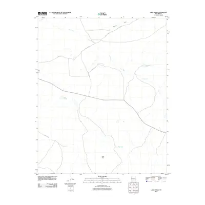 2010 Lake Armijo2010 Print · USGSCatron County, New Mexico, appears in the early twenty-first century as a landscape of open range and vital water points. Researchers can trace the paths of Largo Creek and Nations Draw or locate landmarks like Lake Armijo and Eagle Peak.
 - 2010 Map of Trail Lake, 2010 Print
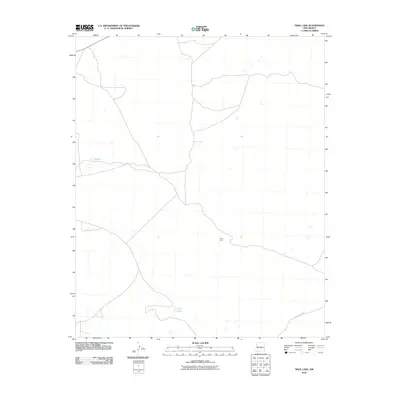 2010 Trail Lake2010 Print · USGSCibola County ranching lands are captured here at the start of the twenty-first century, showing the isolation of the New Mexico high desert. Researchers can trace the layout of local roads like County Rd-A076 and locate specific sites such as Tusas Corral and Trail Lake.
 - 2010 Map of Salazar Canyon, 2010 Print
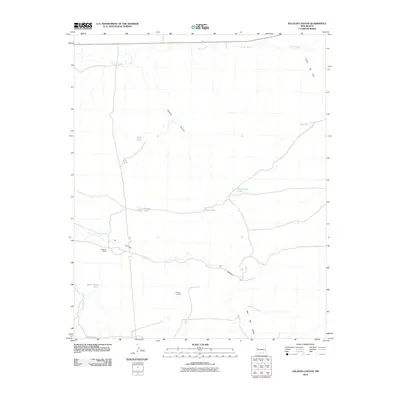 2010 Salazar Canyon2010 Print · USGSCatron County rangeland is shown here in the early twenty-first century, revealing a landscape shaped by cattle ranching and seasonal washes. Researchers can locate remote sites such as Goesling Ranch and trace the drainage patterns of Salazar Canyon and Carrizo Wash.
 - 2010 Map of Veteado Mountain, 2010 Print
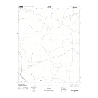 2010 Veteado Mountain2010 Print · USGSCibola County ranching country is documented here in the early twenty-first century, showing a remote landscape of volcanic peaks and ephemeral watercourses. Researchers can locate established outposts like McNab Ranch, the waters of Dutch Lake, and the landmark Veteado Mountain.
 - 2010 Map of Shaw Mountain, 2010 Print
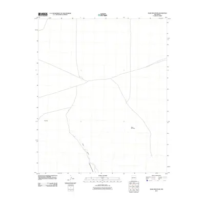 2010 Shaw Mountain2010 Print · USGSCatron County’s high-desert terrain is captured here in the early twenty-first century, showing a landscape shaped by seasonal water and high peaks. Researchers can trace the rugged topography of Shaw Mountain and follow the branching paths of Shaw Canyon and Fullerton Spring Canyon.
 - 2010 Map of Adams Diggings, 2010 Print
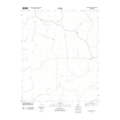 2010 Adams Diggings2010 Print · USGSCatron County, New Mexico, is captured here in the early 2000s, documenting a remote landscape famous for its mining legends and ranching history. Genealogists and historians can locate rural landmarks such as Forest Hill Cemetery and the settlements of Kalberg and Wade.
 - 2010 Map of Fence Lake SW, 2010 Print
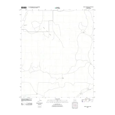 2010 Fence Lake SW2010 Print · USGSCibola County ranchlands are documented in this late-aughts survey of the high desert, showing the essential water infrastructure of the region. Researchers can trace land use through named ranch sites like Cox Ranch and remote water points like Semi Lonesome Windmill.
 - 2010 Map of C-N Lake, 2010 Print
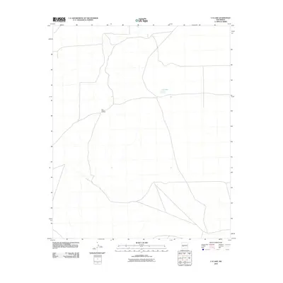 2010 C-N Lake2010 Print · USGSCatron County, New Mexico, is captured here in the early 2000s, showcasing a landscape of high-desert ranching and wide-open spaces. Trace the sparse network of rural roads that lead to local landmarks like C-N Lake and the West Pasture Windmill.
 - 2010 Map of York Ranch SE, 2010 Print
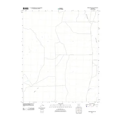 2010 York Ranch SE2010 Print · USGSCibola County ranch lands are documented here in the early twenty-first century, showing a remote landscape of canyons and cattle tanks. Local researchers can trace the routes of Pie Town Rd and Veteado Draw, or locate isolated landmarks like Elsies Tank.
 - 2010 Map of Blue Hills, 2010 Print
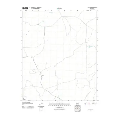 2010 Blue Hills2010 Print · USGSHigh desert ranching and remote homesteads define this area of Catron County in the early 21st century. Trace local family-named landmarks and essential water sources like Flood Homestead, McPhual Ranch, and San Antone Lake.
 - 2010 Map of Tejana Mesa, 2010 Print
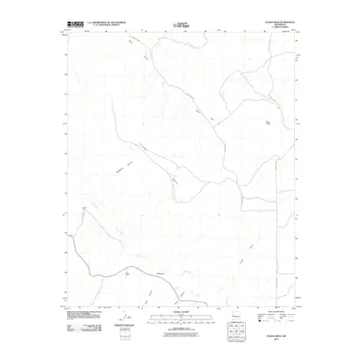 2010 Tejana Mesa2010 Print · USGSCatron County ranching lands are captured in the early twenty-first century, showing a remote landscape of high mesas and deep canyons. Family history researchers can locate remote outposts like Chavez Ranch and Mesa Ranch alongside the prominent Tejana Mesa.
 - 2010 Map of Moreno Hill, 2010 Print
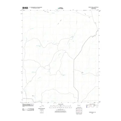 2010 Moreno Hill2010 Print · USGSCibola County ranching lands and high-desert drainage patterns are recorded here as they appeared in the early 2000s. Genealogists and local historians can locate Morelos Cemetery and trace the importance of water through features like Pueblo Windmill and Heffner Tank.
 - 2010 Map of Alegres Mountain, 2010 Print
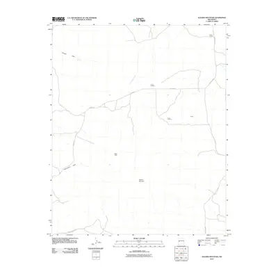 2010 Alegres Mountain2010 Print · USGSCatron County, New Mexico, is shown in the early twenty-first century as a landscape defined by ranching and high-country landmarks. Genealogists and historians can locate remote burial sites at Johnson Cemetery and Divide Cemetery or trace the early paths of W Bar Ranch.
 - 2010 Map of Anderson Peak, 2010 Print
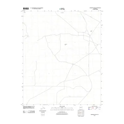 2010 Anderson Peak2010 Print · USGSCatron County’s high desert landscape is recorded here in the early twenty-first century, showing a remote region defined by its peaks and mountain passes. Researchers can locate the Datil Cemetery and trace the paths of Old Hwy 60 and County Rd-152 through the vicinity of Anderson Peak.
 - 2010 Map of Wild Horse Canyon, 2010 Print
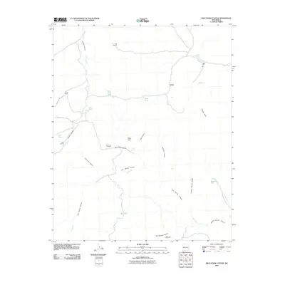 2010 Wild Horse Canyon2010 Print · USGSCibola County ranchlands are captured here in the early twenty-first century, showing the critical water infrastructure of the high desert. Researchers can trace family-named sites like Woods Ranch and Mertz Ranch alongside essential landmarks like Dog Windmill and Techado Spring.
 - 2010 Map of Bonine Canyon, 2010 Print
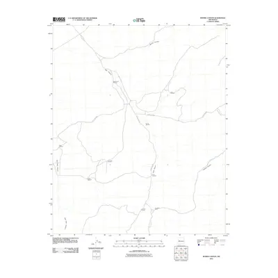 2010 Bonine Canyon2010 Print · USGSCibola County ranch lands are documented here during the early 2000s, showing a landscape shaped by water and canyon topography. Researchers can locate named sites like Summers Ranch and several family-named water sources including Payne Windmill and Schoolhouse Windmill.
 - 2010 Map of Zuni Salt Lake, 2010 Print
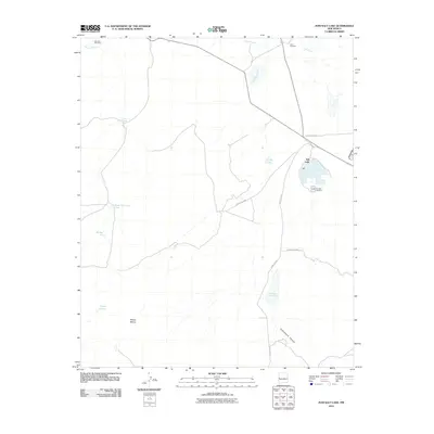 2010 Zuni Salt Lake2010 Print · USGSThe high desert of Catron County is centered on a unique geological and industrial landmark in this 2010 survey. Researchers can trace the legacy of resource extraction at the Zuñi Salt Lake Mine or locate ephemeral water sources like Cheap John Lake and Chical Lake.
 - 2010 Map of Cerro Prieto, 2010 Print
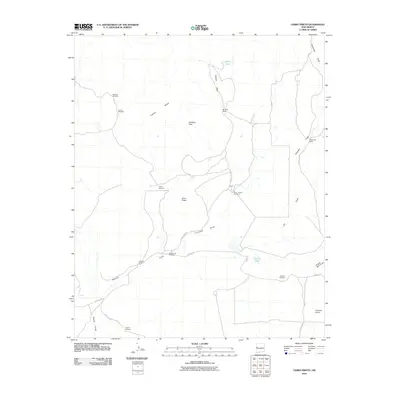 2010 Cerro Prieto2010 Print · USGSRanching life in Cibola County is documented here at the start of the 2010s. Researchers can trace land use and water management through landmarks like Hubbell Ranch, Garcia Lake, and the Dipping Vat Windmill.
 - 2010 Map of Omega, 2010 Print
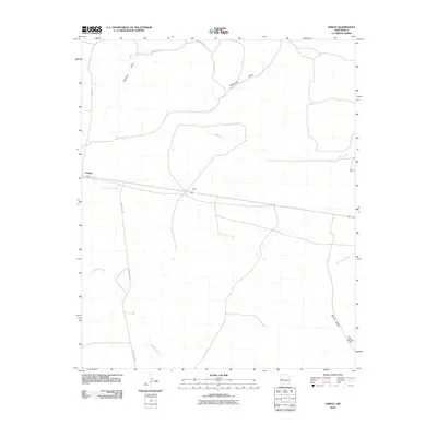 2010 Omega2010 Print · USGSCatron County, New Mexico, is captured here in the early twenty-first century, showing the small outposts of the high desert. Researchers can trace land ties and local routes near Omega, Bates, and the many watercourses like San Ignacio Creek.
 - 2010 Map of Pie Town, 2010 Print
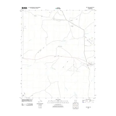 2010 Pie Town2010 Print · USGSHigh on the Continental Divide in the early 2000s, this area centers on the famous outpost of Pie Town. Local historians can trace the community through the Pie Town Cemetery, Pie Town Post Office, and ranching landmarks like the Nalda Ranch Airport.
 - 2010 Map of Blaines Lake, 2010 Print
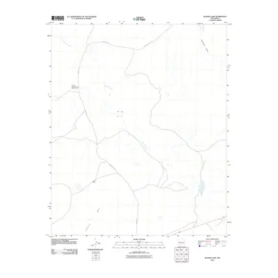 2010 Blaines Lake2010 Print · USGSCatron County's high-desert ranching country is documented here at the start of the 2010s. Researchers can trace land management and water resources through features like Red Hill Detention Dam Number One, Perea Dam, and the seasonal flow of Agua Fria Creek.
 - 2010 Map of Tres Lagunas, 2010 Print
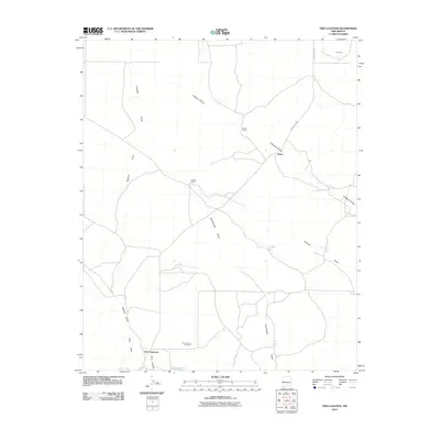 2010 Tres Lagunas2010 Print · USGSCatron County ranching country is captured here in the early twenty-first century, showing a landscape defined by seasonal arroyos and remote outposts. Genealogists and local historians can locate the Tres Lagunas Cemetery or trace landmarks like Lehew Ranch and Veteado Camp.
Showing maps 1-25 of 414
Top cities of Catron County
Frequently asked questions
- What are the different types of historical maps available for Catron County?
- What is the oldest map of Catron County?
- Where can I purchase historical maps of Catron County for my home or office?
- Where can I download high-res historical maps of Catron County?
- Are there historical topographic maps available for Catron County?
- Is there historical aerial imagery available for Catron County?
- Where are historical maps of Catron County sourced from?