2000s (21st Century) Maps of Catron County, New Mexico
Explore 689 historic maps of Catron County from the 2000s (21st Century). These maps offer a rare glimpse into what life looked like during the 2000s — showing old roads, neighborhoods, homes, and landmarks that have changed or disappeared over time.
Whether you're researching your family's past, planning a metal detecting trip, or studying how Catron County's landscape evolved across the 2000s, these high-resolution maps are a powerful tool for exploring the history of this region.
- Focus on a specific era: All maps on this page are from the 2000s, giving you a focused view of this time period.
- See what’s changed: Compare century-old streets, trails, and buildings to today's modern landscape using overlays and satellite layers.
- Research with precision: Use these maps for genealogy, historical research, land use analysis, or educational projects.
- View, download, or print: Maps are fully viewable online in high resolution, and can be downloaded or printed for your own records.
Start exploring Catron County's history through authentic maps from the 2000s. This is your window into the past.
Catron County, NM maps
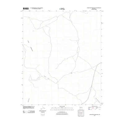
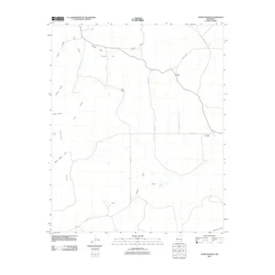
(689)- 2005 Map of Maple Peak, 2006 Print
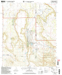
 2005 Maple Peak2006 Print · USGSThe Arizona-New Mexico state line at the turn of the millennium was a landscape of remote ranching camps and protected forest wilderness. Researchers can trace the layout of early holdings like Coalson Ranch, find a lonely Grave, and locate high-country outposts like Smoothing Iron Camp.
 - 2005 Map of Alma Mesa, 2006 Print
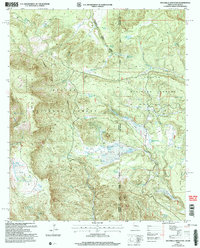
 2005 Alma Mesa2006 Print · USGSThe Arizona-New Mexico borderlands in the early 2000s remain a landscape of remote ranching outposts and protected forest wilderness. Genealogists and historians can trace local landmarks like Charlie Moore Place, Yam, and the Stateline Camp along the historic Alma Road.
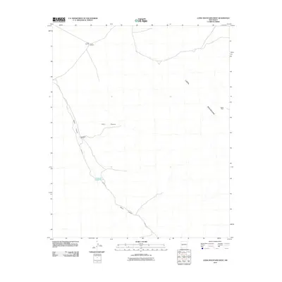
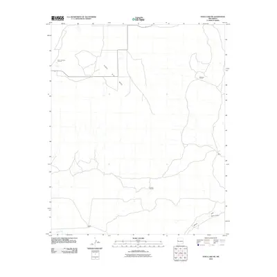
 - 2005 Map of Luna Lake, 2006 Print
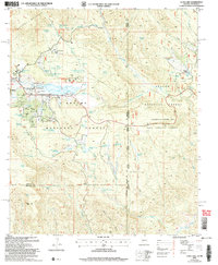 2005 Luna Lake2006 Print · USGSThe high-country ranching and recreation landscape around Alpine is captured here during the mid-2000s. Researchers can locate the local Cem, trace the San Francisco River headwaters, and identify features like Double J Ranch and Tenney Pond along the New Mexico border.
 - 2005 Map of Harden Cienega, 2006 Print
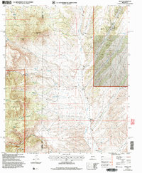
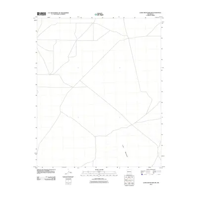
 2005 Harden Cienega2006 Print · USGSThe high borderlands of Grant and Catron Counties are captured here in the early 2000s, where the Arizona state line meets the national forests. Researchers can trace the ranching history of this high-elevation landscape through landmarks like Harden Cienega, Chimney Rock, and the Arizona Antelope Corral.
 - 2005 Map of Blue, 2006 Print
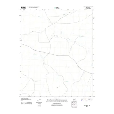
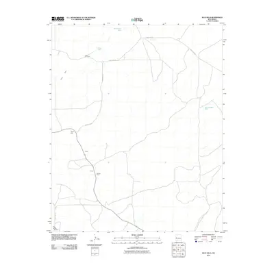
 2005 Blue2006 Print · USGSThe Arizona and New Mexico state line bisects this remote forest landscape in the mid-2000s, where the high ridges meet the Blue River. Genealogists and hikers can locate Jones Cemetery, the high Saddle Mountain Lookout, and the isolated Marks Ranch.
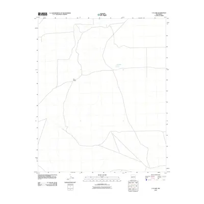
 - 2005 Map of Loco Knoll, 2006 Print
 2005 Loco Knoll2006 Print · USGSThe high timberland along the Arizona-New Mexico state line was a landscape of remote ranching and forest management in the mid-2000s. Researchers can trace the water-dependent economy of this region through features like the H-V Ranch, Loco Knoll Well, and the Cinder Pit.
 - 2005 Map of Maness Peak, 2006 Print
 2005 Maness Peak2006 Print · USGSThe Arizona and New Mexico state line runs through this high-forest borderland during the mid-2000s, where the Blue River winds between canyon walls. Researchers can locate the Blue School, Blue Cemetery, and family ranch sites like Luce Ranch or Lazy YJ Ranch.
 - 2005 Map of Dusty, 2006 Print
 2005 Dusty2006 Print · USGSRanching life in the high desert of Socorro and Catron counties is documented here as it appeared in the early 2000s. Genealogists and local historians can trace family-named outposts and vital water sources like Tucker Ranch, Henderson Ranch, and Pigeon Windmill.
 - 2005 Map of Escudilla Mountain, 2006 Print
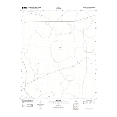
 2005 Escudilla Mountain2006 Print · USGSThe high-country border between Arizona and New Mexico is captured here in the mid-2000s, showing a land of forest management and wilderness preservation. Map researchers can locate the Escudilla Lookout and trace water sources like Lake Erin and McFate Spring.
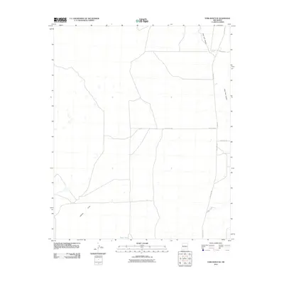
 - 2010 Map of Luera Mountains East, 2010 Print
 2010 Luera Mountains East2010 Print · USGSCovers Catron County, including United States, New Mexico, and other nearby areas
 - 2010 Map of Luera Mountains West, 2010 Print
 2010 Luera Mountains West2010 Print · USGSCovers Catron County, including United States, New Mexico, and other nearby areas
 - 2010 Map of Luera Mountains NW, 2010 Print
 2010 Luera Mountains NW2010 Print · USGSCovers Catron County, including United States, New Mexico, and other nearby areas
 - 2010 Map of Lake Armijo, 2010 Print
 2010 Lake Armijo2010 Print · USGSCovers Catron County, including United States, New Mexico, and other nearby areas
 - 2010 Map of Trail Lake, 2010 Print
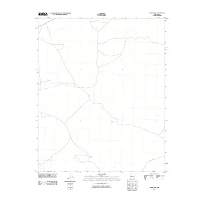 2010 Trail Lake2010 Print · USGSCovers Catron County, including Cibola County, United States, and other nearby areas
 - 2010 Map of Salazar Canyon, 2010 Print
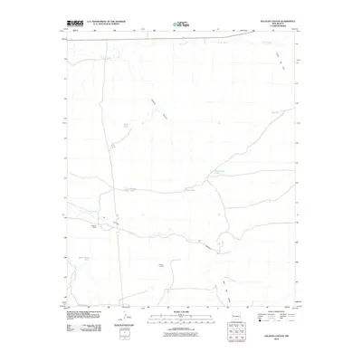 2010 Salazar Canyon2010 Print · USGSCovers Catron County, including United States, New Mexico, and other nearby areas
 - 2010 Map of Veteado Mountain, 2010 Print
 2010 Veteado Mountain2010 Print · USGSCovers Catron County, including Cibola County, United States, and other nearby areas
 - 2010 Map of Shaw Mountain, 2010 Print
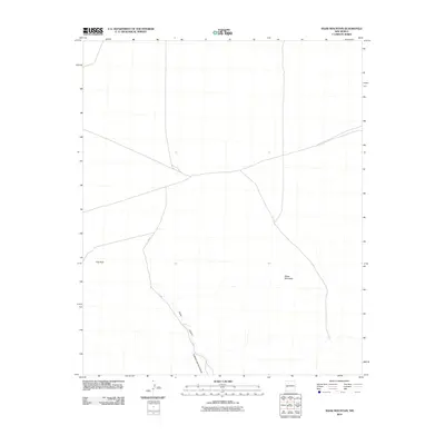 2010 Shaw Mountain2010 Print · USGSCovers Catron County, including United States, New Mexico, and other nearby areas
 - 2010 Map of Adams Diggings, 2010 Print
 2010 Adams Diggings2010 Print · USGSCovers Catron County, including United States, New Mexico, and other nearby areas
 - 2010 Map of Fence Lake SW, 2010 Print
 2010 Fence Lake SW2010 Print · USGSCovers Catron County, including Cibola County, United States, and other nearby areas
 - 2010 Map of C-N Lake, 2010 Print
 2010 C-N Lake2010 Print · USGSCovers Catron County, including United States, New Mexico, and other nearby areas
 - 2010 Map of York Ranch SE, 2010 Print
 2010 York Ranch SE2010 Print · USGSCovers Catron County, including Cibola County, United States, and other nearby areas
 - 2010 Map of Blue Hills, 2010 Print
 2010 Blue Hills2010 Print · USGSCovers Catron County, including United States, New Mexico, and other nearby areas
 - 2010 Map of Tejana Mesa, 2010 Print
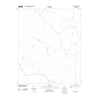 2010 Tejana Mesa2010 Print · USGSCovers Catron County, including United States, New Mexico, and other nearby areas
 - 2010 Map of Moreno Hill, 2010 Print
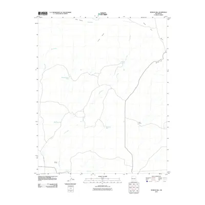 2010 Moreno Hill2010 Print · USGSCovers Catron County, including Cibola County, United States, and other nearby areas
 - 2010 Map of Alegres Mountain, 2010 Print
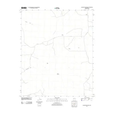 2010 Alegres Mountain2010 Print · USGSCovers Catron County, including United States, New Mexico, and other nearby areas
Showing maps 1-25 of 689
Top cities of Catron County
Frequently asked questions
- What are the different types of historical maps available for Catron County?
- What is the oldest map of Catron County?
- Where can I purchase historical maps of Catron County for my home or office?
- Where can I download high-res historical maps of Catron County?
- Are there historical topographic maps available for Catron County?
- Is there historical aerial imagery available for Catron County?
- Where are historical maps of Catron County sourced from?