1970s Maps of Colfax County, New Mexico
Explore 32 historic maps of Colfax County from the 1970s. These maps offer a rare glimpse into what life looked like during the 1970s — showing old roads, neighborhoods, homes, and landmarks that have changed or disappeared over time.
Whether you're researching your family's past, planning a metal detecting trip, or studying how Colfax County's landscape evolved across the 1970s, these high-resolution maps are a powerful tool for exploring the history of this region.
- Focus on a specific era: All maps on this page are from the 1970s, giving you a focused view of this time period.
- See what’s changed: Compare century-old streets, trails, and buildings to today's modern landscape using overlays and satellite layers.
- Research with precision: Use these maps for genealogy, historical research, land use analysis, or educational projects.
- View, download, or print: Maps are fully viewable online in high resolution, and can be downloaded or printed for your own records.
Start exploring Colfax County's history through authentic maps from the 1970s. This is your window into the past.
Colfax County, NM maps
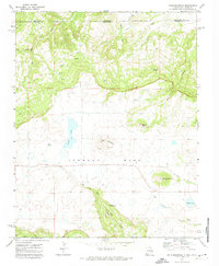
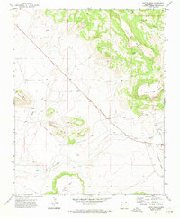
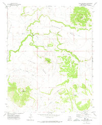
(32)- 1971 Map of Abbott Lake, 1973 Print
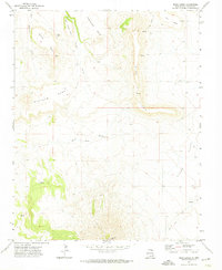
 1971 Abbott Lake1973 Print · USGSHarding and Colfax Counties are shown in the early seventies, capturing a landscape of high plains ranching and former rail corridors. Researchers can trace the Old Railroad Grade and locate family history at Johnson Cem near Abbott Lake.
 - 1971 Map of Clifton House, 1974 Print
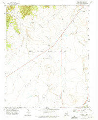
 1971 Clifton House1974 Print · USGSColfax County's high plains are revealed here in the early 1970s, showing the intersection of frontier history and modern transport. Researchers can trace the Old Santa Fe Trail past the Clifton House site and along the Canadian River.
 - 1971 Map of Saltpeter Mountain, 1974 Print
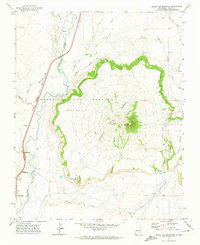
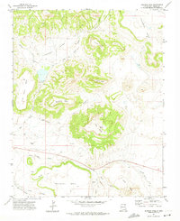
 1971 Saltpeter Mountain1974 Print · USGSIn the high-country landscape of Colfax County in the early seventies, the legacy of the historic Beaubien and Miranda Grant (Maxwell) remains clearly defined. Researchers can trace early industrial infrastructure like the Old Railroad Grade and the Koehler Mine Water Tank among the canyons.
 - 1971 Map of Raton, 1974 Print
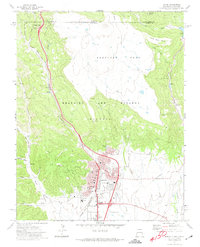 1971 Raton1974 Print · USGSRaton stood as a vital mountain transit hub in the early seventies, marking the high-altitude transition between New Mexico and Colorado. Genealogists and historians can trace the intersection of the Santa Fe Trail with coal-era landmarks like the Coke Ovens at Gardiner and Blossburg.
 - 1971 Map of Trinchera Pass, 1974 Print
 1971 Trinchera Pass1974 Print · USGSThe high mesa country of the Colorado-New Mexico border is captured here in the early 1970s. Genealogists and local historians can trace the remote Pacheco Cem and landmarks like Trinchera Pass and the Folsom State Monument.
 - 1971 Map of Curtis Camp, 1974 Print
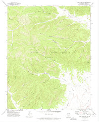
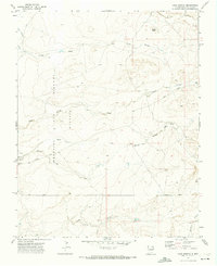
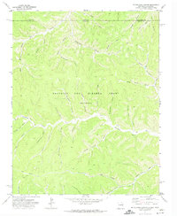
 1971 Curtis Camp1974 Print · USGSColfax County’s high canyon country is captured in the early seventies, showing a landscape of resource exploration and remote outposts. You can trace early prospecting sites like Drill Holes and the remote settlement of Curtis Camp amid named drainages like Five Dollar Canyon.
 - 1971 Map of Kiowa, 1974 Print
 1971 Kiowa1974 Print · USGSColfax and Union Counties are captured in the early seventies, showing a landscape of volcanic craters and cattle-country flats. Researchers can trace the Fort Union Road, find the Mountain View Cem, or locate historic Old Railroad Grades.
 - 1971 Map of Red River Peak, 1974 Print
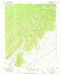
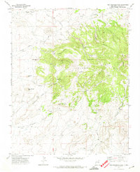
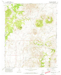
 1971 Red River Peak1974 Print · USGSColfax County’s high country is captured in the early 1970s, showcasing the massive private holdings of the Beaubien and Miranda Grant. Historians can trace the winding Old Railroad Grade or locate the remote Ox Canyon Mine and Graveyard Canyon.2 unique versions available
 - 1971 Map of Dale Mountain, 1974 Print
 1971 Dale Mountain1974 Print · USGSThe high plains and volcanic mesas of the New Mexico-Colorado border are frozen in time during the early seventies. Trace the old routes across Johnson Mesa to find landmark summits like Madrid Peak and water sources such as Dale Springs.
 - 1971 Map of Tres Hermanos Peak, 1974 Print
 1971 Tres Hermanos Peak1974 Print · USGSColfax County's high-desert terrain is captured here in the early 1970s, showing a landscape shaped by ranching and resource extraction. Trace family land or cattle routes through the Pinon Hills using landmarks like Allen Spring, García Windmill, and Chico Road.
 - 1971 Map of Eagle Tail Mountain, 1974 Print
 1971 Eagle Tail Mountain1974 Print · USGSColfax County's volcanic landscape is captured here in the early 1970s, as ranching and rail activity defined life along the river. Trace the old rail stops at Hebron and Schomberg, find a lonely Grave on the mesa, or follow the historic Eagle Tail Canal.
 - 1971 Map of Loco Arroyo, 1974 Print
 1971 Loco Arroyo1974 Print · USGSIn the high-country landscape of Colfax County during the early seventies, the legacy of the old land grants remained clearly etched across the terrain. Researchers can locate the Herrera Cem, follow the winding Piñon Road, and trace the path of Loco Arroyo.
 - 1971 Map of Hunter Mesa, 1974 Print
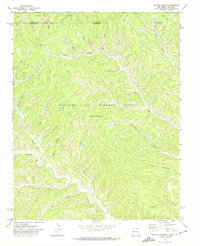
 1971 Hunter Mesa1974 Print · USGSNortheastern New Mexico's mesa country is captured in the early seventies, showing a landscape of high plateaus and cattle ranching. Trace the path of the Old Railroad Grade past Hunter Mesa and locate the historic T O Ranch.
 - 1971 Map of Colfax, 1974 Print
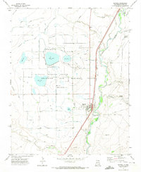
 1971 Colfax1974 Print · USGSNortheastern New Mexico comes to life in the early seventies, showing a landscape defined by massive land grants and historic transit routes. You can trace the legendary Santa Fe Trail and the industrial backbone of the Atchison Topeka and Santa Fe railroad near Colfax.
 - 1971 Map of Robinson Peak, 1974 Print
 1971 Robinson Peak1974 Print · USGSColfax County in the early 1970s was a landscape of high basalt mesas and volcanic peaks where ranching and rail history met. Researchers can trace the Old Railroad Grade, locate the isolated † Grave, and find family-named landmarks like Griego Mesa.
 - 1971 Map of Koehler, 1974 Print
 1971 Koehler1974 Print · USGSColfax County's mining and land-grant heritage is captured here in the early 1970s. Researchers can trace the industrial layout of Koehler, locate the Coke Ovens, and follow the Old Railroad Grade through the Maxwell land grant.
 - 1971 Map of Tin Pan Canyon, 1974 Print
 1971 Tin Pan Canyon1974 Print · USGSThe high canyons along the New Mexico and Colorado border come into sharp focus in the early 1970s, as the land grant era transitions toward modern resource extraction. Researchers can trace the layout of Brilliant, the course of the Canadian River, and the historic Beaubien and Miranda Grant.
 - 1971 Map of Johnson Park, 1974 Print
 1971 Johnson Park1974 Print · USGSThe high mesas of Colfax County were a landscape of remote ranching and transit in the early seventies. Trace the path of the Old Railroad Grade near Juan Torres Mesa or locate the rural Cem tucked away in Johnson Park.
 - 1971 Map of Yankee, 1974 Print
 1971 Yankee1974 Print · USGSThe high mesas of the New Mexico and Colorado border come into focus in the early 1970s, showing a landscape shaped by mining and cattle ranching. Genealogists and historians can trace the Old Railroad Grade near Carisbrook or locate the mountain settlement of Yankee.
 - 1971 Map of Pine Buttes, 1974 Print
 1971 Pine Buttes1974 Print · USGSColfax County's high mesa country is captured here in the early seventies, showing a landscape shaped by ranching and volcanic geology. Researchers can locate family landmarks like the Wilson Cem or trace the path of the Fort Union Road past The Crater.
 - 1971 Map of Mc Williams Canyon, 1974 Print
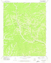
 1971 Mc Williams Canyon1974 Print · USGSColfax County and the Maxwell Grant were centers of remote industry and ranching in the early seventies. Genealogists and historians can trace family-named landmarks like Mc Cuen Canyon and infrastructure along York Canyon Road.
 - 1971 Map of Maxwell, 1974 Print
 1971 Maxwell1974 Print · USGSColfax County's high plains are revealed here in the early 1970s, showing a landscape shaped by the Beaubien and Miranda Grant and massive irrigation projects. Genealogists and historians can trace the Red River School, the local Cem, and the path of the historic Santa Fe Trail.
 - 1971 Map of Tinaja Mountain, 1974 Print
 1971 Tinaja Mountain1974 Print · USGSColfax County in the early seventies is characterized by its massive mesas and high-desert drainage systems. Genealogists and historians can locate a small Cem near West Fork Tinaja Creek or trace routes along Eagle Tail Road through Blosser Gap.
 - 1971 Map of Palo Blanco Mountain, 1974 Print
 1971 Palo Blanco Mountain1974 Print · USGSColfax County ranching country is captured here in the early seventies, showing a landscape shaped by volcanic peaks and seasonal water. Genealogists and historians can locate the Palo Blanco Church, the settlement of Maverick, and family-named sites like Barela Lake.
 - 1971 Map of Mesa Larga, 1974 Print
 1971 Mesa Larga1974 Print · USGSColfax County’s high-plains landscape is documented here in the early seventies, featuring a dramatic transition from volcanic peaks to expansive grazing mesas. Researchers can trace the path of the Fort Union railroad or locate local landmarks like Laughlin Peak and the isolated Cem near the foot of Mesa Larga.
Showing maps 1-25 of 32
Top cities of Colfax County
- Raton historical maps
- Angel Fire historical maps
- Springer historical maps
- Cimarron historical maps
- Eagle Nest historical maps
Frequently asked questions
- What are the different types of historical maps available for Colfax County?
- What is the oldest map of Colfax County?
- Where can I purchase historical maps of Colfax County for my home or office?
- Where can I download high-res historical maps of Colfax County?
- Are there historical topographic maps available for Colfax County?
- Is there historical aerial imagery available for Colfax County?
- Where are historical maps of Colfax County sourced from?