2020s Maps of Colfax County, New Mexico
Explore 144 historic maps of Colfax County from the 2020s. These maps offer a rare glimpse into what life looked like during the 2020s — showing old roads, neighborhoods, homes, and landmarks that have changed or disappeared over time.
Whether you're researching your family's past, planning a metal detecting trip, or studying how Colfax County's landscape evolved across the 2020s, these high-resolution maps are a powerful tool for exploring the history of this region.
- Focus on a specific era: All maps on this page are from the 2020s, giving you a focused view of this time period.
- See what’s changed: Compare century-old streets, trails, and buildings to today's modern landscape using overlays and satellite layers.
- Research with precision: Use these maps for genealogy, historical research, land use analysis, or educational projects.
- View, download, or print: Maps are fully viewable online in high resolution, and can be downloaded or printed for your own records.
Start exploring Colfax County's history through authentic maps from the 2020s. This is your window into the past.
Colfax County, NM maps
(144)- 2020 Map of Mesa Larga, 2020 Print
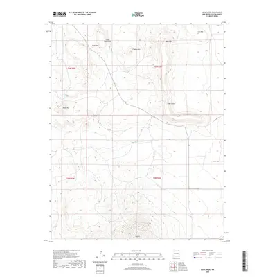 2020 Mesa Larga2020 Print · USGSColfax County's high-mesa country is captured here in the contemporary era, showing a landscape defined by volcanic peaks and seasonal arroyos. Researchers can trace the rugged topography of Laughlin Peak, Troyburg Mesa, and the winding Blosser Arroyo.
 - 2020 Map of Springer, 2020 Print
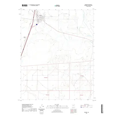 2020 Springer2020 Print · USGSThe northern New Mexico town of Springer is shown in detail during the late twenty-teens, situated where the Cimarron River meets the high plains. Researchers can trace the local street grid along Railroad Ave or locate the Springer Municipal Airport nearby.
 - 2020 Map of Miami NE, 2020 Print
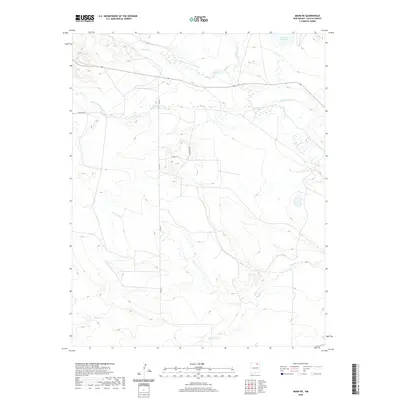 2020 Miami NE2020 Print · USGSColfax County's high-desert ranching landscape is defined by its vital water sources in this recent survey. Researchers can trace the essential irrigation networks and historical drainage patterns along the Cimarron River, Rayado Cr, and Number Two Lake.
 - 2020 Map of Cimarron, 2020 Print
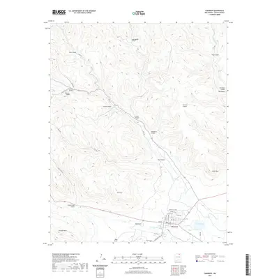 2020 Cimarron2020 Print · USGSCimarron and the surrounding Colfax County canyons are shown in high detail during the early twenty-first century. Researchers can trace local landmarks from the Cimarron Cem to the waters of French Lake and the various branches of Ponil Cr.
 - 2020 Map of Farley, 2020 Print
 2020 Farley2020 Print · USGSThe high plains of Colfax County meet the Union County border in this recent survey of northeastern New Mexico. Genealogists and local historians can trace the rural road network connecting Farley to remote landmarks like Lanier Lake and the winding Sand Arroyo.
 - 2020 Map of Point of Rocks Mesa, 2020 Print
 2020 Point of Rocks Mesa2020 Print · USGSColfax County's high plains and mesas are captured here in the early twenty-first century, showing the enduring ranching landscape around Chico. Researchers can locate Hollenbeck Cem and trace historic water sources like Chico Springs and Willow Springs.
 - 2020 Map of Springer Lake, 2020 Print
 2020 Springer Lake2020 Print · USGSColfax County’s high plains water systems are meticulously documented in this recent survey of the area surrounding the Cimarron River. Researchers can trace the path of the Highline Canal and locate landmarks like Cis Ranch and Boys School Lake.
 - 2020 Map of Casa Grande SW, 2020 Print
 2020 Casa Grande SW2020 Print · USGSColfax County's high country is captured here in the early twenty-first century, showing a landscape defined by the Vermejo River and deep canyons. Researchers can trace local heritage through landmarks like Graveyard Canyon, Juan Baca Canyon, and Van Bremmer Cr.
 - 2020 Map of Red River Peak, 2020 Print
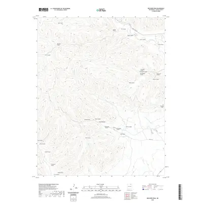 2020 Red River Peak2020 Print · USGSColfax County remains a high-plateau landscape defined by its complex canyon systems in the modern era. Genealogists and researchers can trace the vicinity of Van Houten and landmarks like Graveyard Canyon, Coal Canyon, and Red River Peak.
 - 2020 Map of Abbott NW, 2020 Print
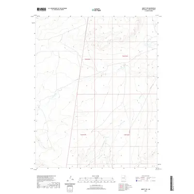 2020 Abbott NW2020 Print · USGSColfax County's high plains are captured here in the late twenty-tens, showing a landscape defined by traditional range boundaries and seasonal water. Researchers can trace the path of Rio del Plano and the drainage of Alkali Arroyo alongside CO RD C-34.
 - 2020 Map of Curtis Camp, 2020 Print
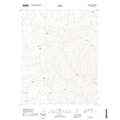 2020 Curtis Camp2020 Print · USGSColfax County's high canyon country is documented here in the early 21st century, showing the rugged drainage basins of the Sangre de Cristo foothills. Researchers can trace historic routes and landmarks through Shotgun Canyon, Rail Canyon, and the remote Curtis Camp.
 - 2020 Map of Rayado, 2020 Print
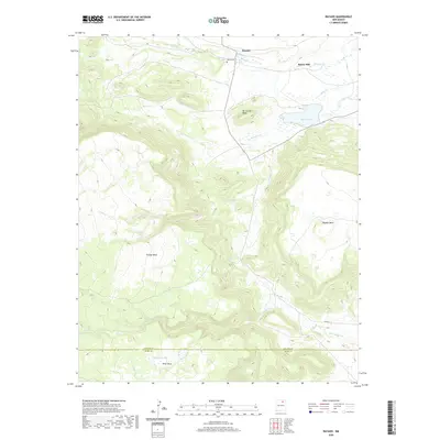 2020 Rayado2020 Print · USGSThe high mesas of northern New Mexico are shown here as they appeared in 2020. Local historians and genealogists can trace family landmarks like the Abreu Cemetery or the settlements at Rayado and Sunny Side near the shores of Miami Lake.
 - 2020 Map of Dawson, 2020 Print
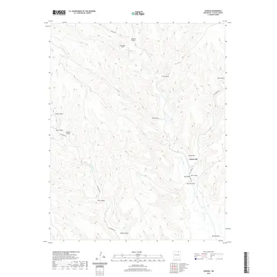 2020 Dawson2020 Print · USGSColfax County’s high country is captured here in the early twenty-first century, showcasing the intricate drainage systems of the Sangre de Cristo foothills. Researchers can trace the winding Vermejo River and explore the rugged naming conventions of Dawson Canyon, Capitan Hill, and Horseshoe Bend.
 - 2020 Map of Raton, 2020 Print
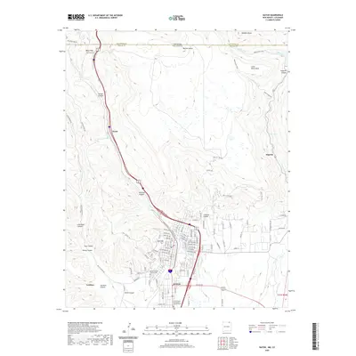 2020 Raton2020 Print · USGSRaton and the high mountain passes of the Colorado-New Mexico border are captured here in the early twenty-first century. Researchers can trace the local street grid, find family sites at Fairmont Cem, or locate landmarks like Raton Tunnel and Gardiner.
 - 2020 Map of Taylor Springs, 2020 Print
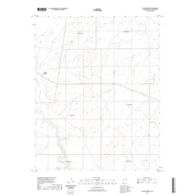 2020 Taylor Springs2020 Print · USGSTaylor Springs and the high plains of Colfax County are shown in 2020 as a landscape of wide-open ranch lands and winding arroyos. Researchers can trace rural property lines and water sources along the Canadian River, Chico Cr, and the secluded Middle Lake.
 - 2020 Map of Lawrence Arroyo, 2020 Print
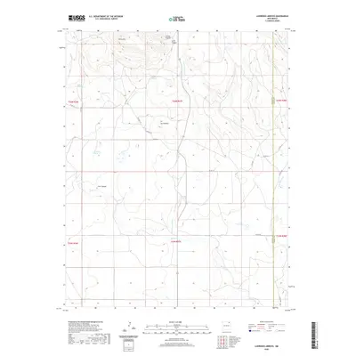 2020 Lawrence Arroyo2020 Print · USGSUnion County's high plains and mesas come alive in this contemporary survey of the New Mexico ranchlands. Genealogists and historians can trace family-named landmarks like Barela Spring, Cleto Lake, and the winding course of Lawrence Arroyo.
 - 2020 Map of Coyote Mesa, 2020 Print
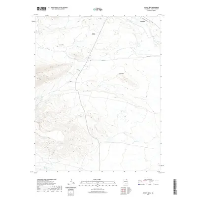 2020 Coyote Mesa2020 Print · USGSCimarron and the high mesas of Colfax County appear in sharp detail during this modern survey. Researchers can trace the rugged network of Tooth of Time Ridge and find isolated backcountry landmarks like Toothache Spring and Hagerdon Lake.
 - 2020 Map of Divine Lake, 2020 Print
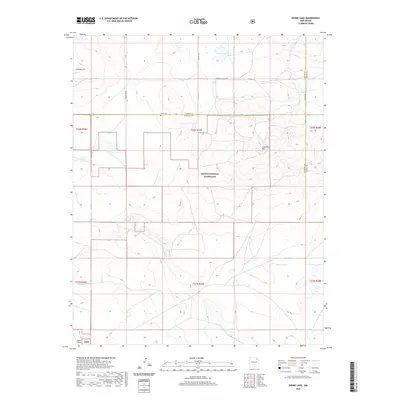 2020 Divine Lake2020 Print · USGSThe High Plains of northeastern New Mexico are captured here in the twenty-first century as the cattle and grassland economy remains central. Family history researchers can locate the Mofax Cem and trace landmarks like Sugarloaf Mtn and Divine Lake.
 - 2020 Map of Hunter Mesa, 2020 Print
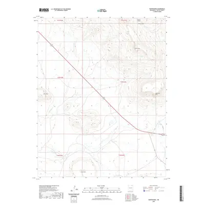 2020 Hunter Mesa2020 Print · USGSHigh mesas and deep canyons define this corner of Colfax County in the early twenty-first century. Researchers can trace the drainage patterns from Hunter Mesa to Una de Gato Cr or locate family-named landmarks like Juan Torres Mesa and Salazar Spring.
 - 2020 Map of Caliente Canyon North, 2020 Print
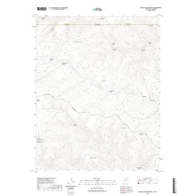 2020 Caliente Canyon North2020 Print · USGSThe Colorado and New Mexico borderlands come into focus here, showing the complex drainage systems of the upper Canadian River watershed. Local historians can trace the geography of early settlement through sites like Catskill Cem and family-named landmarks such as Ben Thompson Canyon and Frankies Canyon.
 - 2020 Map of Palo Blanco Mountain, 2020 Print
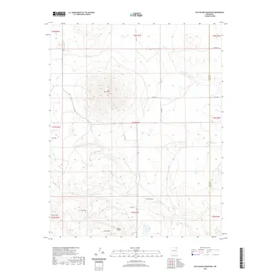 2020 Palo Blanco Mountain2020 Print · USGSNortheast New Mexico's volcanic high plains are captured here in the contemporary era at the Union and Colfax county line. Researchers can trace land tracts and water sources across the landscape, from Palo Blanco Mtn to Alamo Spring and Barela Lake.
 - 2020 Map of Abbott, 2020 Print
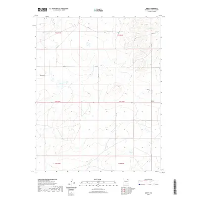 2020 Abbott2020 Print · USGSColfax County's high plains ranching country is captured here during the twenty-first century. Researchers can trace the drainage of the Jaritas Arroyo and locate regional landmarks like Big Lake, East Lake, and the small settlement of Abbott.
 - 2020 Map of Maxwell, 2020 Print
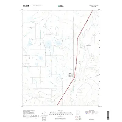 2020 Maxwell2020 Print · USGSIn the high plains of Colfax County, this 2020 map traces the intricate water management systems of an agricultural community. Genealogists and local historians can locate early-century irrigation features like the Siphon Ditch and Number Twelve Lake alongside the town of Maxwell.
 - 2020 Map of Charette Lake, 2020 Print
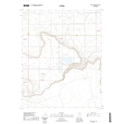 2020 Charette Lake2020 Print · USGSColfax and Mora counties come together at these high plains lakes during the modern era. Trace the path of the Charette Lake Diversion Canal as it feeds Charette Lake beneath the shadow of Charette Mesa.
 - 2020 Map of McWilliams Canyon, 2020 Print
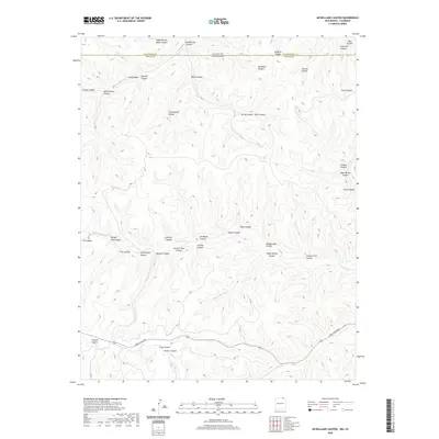 2020 McWilliams Canyon2020 Print · USGSThe high canyon country along the Colorado and New Mexico state line comes into focus in this recent survey. Researchers can trace the rugged drainages of Shingle Mill Canyon, Sawmill Canyon, and the remote York Canyon Road corridor.
Showing maps 1-25 of 144
Top cities of Colfax County
- Raton historical maps
- Angel Fire historical maps
- Springer historical maps
- Cimarron historical maps
- Eagle Nest historical maps
Frequently asked questions
- What are the different types of historical maps available for Colfax County?
- What is the oldest map of Colfax County?
- Where can I purchase historical maps of Colfax County for my home or office?
- Where can I download high-res historical maps of Colfax County?
- Are there historical topographic maps available for Colfax County?
- Is there historical aerial imagery available for Colfax County?
- Where are historical maps of Colfax County sourced from?