2000s (21st Century) Maps of Colfax County, New Mexico
Explore 360 historic maps of Colfax County from the 2000s (21st Century). These maps offer a rare glimpse into what life looked like during the 2000s — showing old roads, neighborhoods, homes, and landmarks that have changed or disappeared over time.
Whether you're researching your family's past, planning a metal detecting trip, or studying how Colfax County's landscape evolved across the 2000s, these high-resolution maps are a powerful tool for exploring the history of this region.
- Focus on a specific era: All maps on this page are from the 2000s, giving you a focused view of this time period.
- See what’s changed: Compare century-old streets, trails, and buildings to today's modern landscape using overlays and satellite layers.
- Research with precision: Use these maps for genealogy, historical research, land use analysis, or educational projects.
- View, download, or print: Maps are fully viewable online in high resolution, and can be downloaded or printed for your own records.
Start exploring Colfax County's history through authentic maps from the 2000s. This is your window into the past.
Colfax County, NM maps
(360)- 2010 Map of Cimarron, 2010 Print
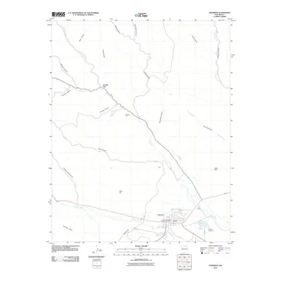 2010 Cimarron2010 Print · USGSCimarron and the surrounding Colfax County ranch lands are detailed here during the early twenty-first century. Researchers can locate family landmarks like W S Ranch and the Cimarron Cemetery, or trace historic sites within the North Ponil Canyon Archaeological District.
 - 2010 Map of Casa Grande, 2010 Print
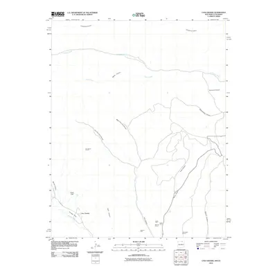 2010 Casa Grande2010 Print · USGSThe northern New Mexico high country is mapped here in the early twenty-first century, showcasing a landscape defined by deep canyons and industrial mining operations. Researchers can trace the footprint of the coal industry at the Kaiser Steel Kaiser Plant and York Canyon Number 1 or locate the remote settlement of Casa Grande.
 - 2010 Map of Point of Rocks Mesa, 2010 Print
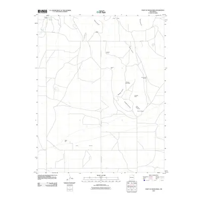 2010 Point of Rocks Mesa2010 Print · USGSThe high plains and mesas of Colfax County appear in this recent survey of ranching country near the historic Santa Fe Trail route. Researchers can trace family history at the Hollenbeck Cemetery and locate rural landmarks like the Willow Springs Post Office and Roundtree Ranch.
 - 2010 Map of Colmor, 2010 Print
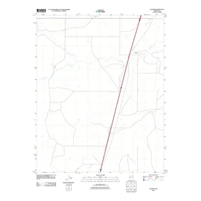 2010 Colmor2010 Print · USGSThe high plains of Colfax County appear in the early 21st century, dominated by the long diagonal reach of Old US Hwy 85. Genealogists and researchers can trace the rural outposts of Colmor, Maes, and Montoya along the winding banks of Ocate Creek.
 - 2010 Map of Farley, 2010 Print
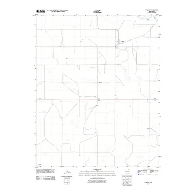 2010 Farley2010 Print · USGSNortheastern New Mexico's high plains are documented here in the early twenty-first century, showcasing a sparse ranching and farming landscape. Researchers can locate small family-named clusters and landmarks like Farley, Muller Dam, and the crossroads at Fleming.
 - 2010 Map of Charette Lake, 2010 Print
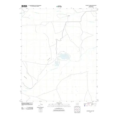 2010 Charette Lake2010 Print · USGSColfax County at the start of the 21st century remains a landscape of ranching and water management. Researchers can trace the path of the Santa Fe Trl past landmarks like Charette Mesa and the waters of Charette Lake.
 - 2010 Map of Stony Lake, 2010 Print
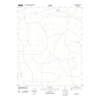 2010 Stony Lake2010 Print · USGSHigh plains ranching in Colfax County is captured here in the early twenty-first century, centered on the area's vital water sources and remote outposts. Genealogists and local researchers can trace legacy holdings at Red River Ranch and landmarks like Stony Lake or the Red River Cattle Company Dam.
 - 2010 Map of Springer, 2010 Print
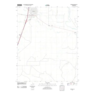 2010 Springer2010 Print · USGSSpringer and the high plains of Colfax County appear in this 2010 survey as the regional hub for the Cimarron and Canadian River basins. Genealogists and local historians can trace the town’s grid near the Springer Post Office and the southern settlement of Robinson.
 - 2010 Map of Vermejo Park, 2010 Print
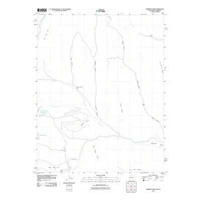 2010 Vermejo Park2010 Print · USGSThe Sangre de Cristo foothills near the Colorado-New Mexico border are documented here in the early twenty-first century. Researchers can locate remote sites like Vasquez Camp, the Bartlett Mine, and natural landmarks such as Castle Rock and Bubbling Springs.
 - 2010 Map of Agua Fria Peak, 2010 Print
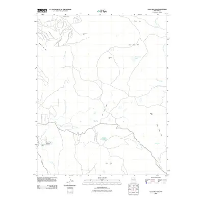 2010 Agua Fria Peak2010 Print · USGSAngel Fire and the southern Sangre de Cristo Mountains are captured here during a period of significant resort and residential growth. Genealogists and researchers can trace the development of Black Lake Resorts and the infrastructure surrounding Agua Fria Peak and the Angel Fire Ski Area.
 - 2010 Map of Ute Park, 2010 Print
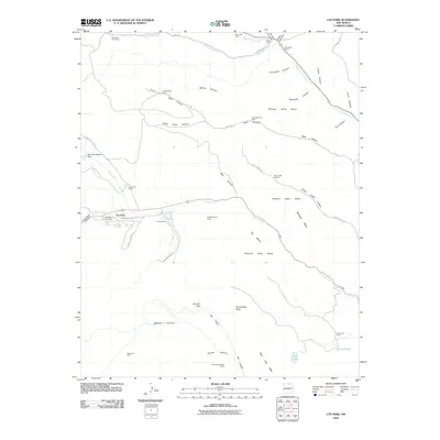 2010 Ute Park2010 Print · USGSNew Mexico's high-country ranching and scouting heritage is preserved in this detailed record of the Colfax County wilderness. Researchers can trace the extensive network of the Philmont Scout Ranch, identifying remote locations like the Anaconda Mine, Cimarroncita, and Graveyard Canyon.
 - 2010 Map of Tooth of Time, 2010 Print
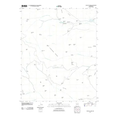 2010 Tooth of Time2010 Print · USGSHigh in the Cimarron Range during the early twenty-first century, this landscape is defined by its network of remote outposts and dramatic peaks. Researchers can trace historic sites like the Cyphers Mine or locate numerous backcountry stations including Miners Park Camp and Old Abreu Camp.
 - 2010 Map of Tres Hermanos Peak, 2010 Print
 2010 Tres Hermanos Peak2010 Print · USGSColfax County in the early 2000s remains a landscape of high peaks and vital water sources for local ranching. Genealogists and historians can trace family-named sites like Neill 3 Sauble or explore landforms such as Three Sisters and the Shell Prospect.
 - 2010 Map of House Canyon, 2010 Print
 2010 House Canyon2010 Print · USGSHigh ranching country in Colfax County was undergoing modern mapping as the new millennium began. Researchers can trace land-use patterns at Cottonwood Cow Camp and follow the intricate drainage of Cerrososo Creek and Van Bremmer Canyon.
 - 2010 Map of Pine Buttes, 2010 Print
 2010 Pine Buttes2010 Print · USGSColfax County's high ranching country is preserved here during the early 2000s, showing a landscape defined by volcanic peaks and remote homesteads. Researchers can locate family landmarks like Wilson Cemetery and the small settlements of Barela and Hennegan.
 - 2010 Map of Taylor Springs, 2010 Print
 2010 Taylor Springs2010 Print · USGSTaylor Springs and the surrounding Colfax County high plains are captured here in the early twenty-first century as the landscape remains defined by ranching and river drainages. Researchers can trace the paths of the Canadian River and Chico Creek or locate local landmarks like Glaze and Bates and Middle Lake.
 - 2010 Map of Miami, 2010 Print
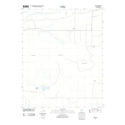 2010 Miami2010 Print · USGSMiami and the surrounding mesas of northern New Mexico are documented here at the turn of the millennium. Local historians and genealogists can trace family outposts like Valdez Place and Fernandez Ranch or locate burials at the Miami Cemetery.
 - 2010 Map of Hunter Mesa, 2010 Print
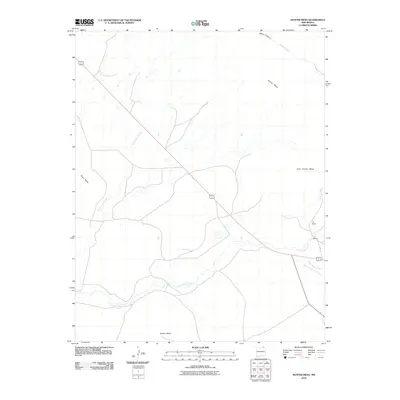 2010 Hunter Mesa2010 Print · USGSHigh mesa country and cattle ranching lands in Colfax County come into focus during the early twenty-first century. Researchers can trace the drainage of Una de Gato Creek and locate family-held lands like the T-O Ranch beneath Hunter Mesa.
 - 2010 Map of McWilliams Canyon, 2010 Print
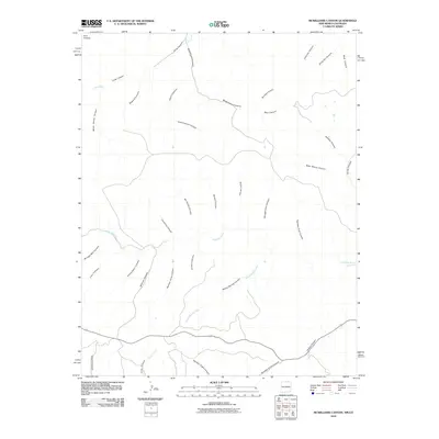 2010 McWilliams Canyon2010 Print · USGSThe high plateau country along the New Mexico-Colorado border is captured here in the early twenty-first century. Genealogists and historians can trace family-named landmarks and water sources across the terrain, including Taber Morey Canyon, McCuen Canyon, and Sheep Spring Creek.
 - 2010 Map of Johnson Park, 2010 Print
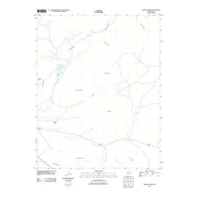 2010 Johnson Park2010 Print · USGSThe high mesas and ranching settlements of Colfax County are captured here at the start of the 21st century. Trace the legacy of high-plains land use through features like Throttle Reservoir, family-named locations like Popejoy, and the distinct profile of Haycock Buttes.
 - 2010 Map of Cimarron SE, 2010 Print
 2010 Cimarron SE2010 Print · USGSColfax County's arid plains and canyon systems are captured here in the early twenty-first century, showing a landscape shaped by water management and ranch roads. Researchers can trace the path of the Vermejo River and locate the Antelope Valley Reservoir Number Two.
 - 2010 Map of Pinon Hills, 2010 Print
 2010 Pinon Hills2010 Print · USGSColfax County's high plains and seasonal drainages are documented here in the early 21st century. Researchers can trace the path of Salado Creek and find the legacy of early automobile travel along Old US Hwy 85 near the settlement of Montoya.
 - 2010 Map of Koehler, 2010 Print
 2010 Koehler2010 Print · USGSColfax County at the dawn of the 2010s shows a landscape of industrial roots and modern aviation. Researchers can trace the legacy of mining at Ox Canyon Mine or locate the infrastructure of the Eagle Tail Canal and Koehler Lake.
 - 2010 Map of Lawrence Arroyo, 2010 Print
 2010 Lawrence Arroyo2010 Print · USGSUnion County, New Mexico, is shown here in the early twenty-first century as a land of expansive ranches and seasonal arroyos. Researchers can locate family landmarks like Romero and several historic water points including Tafoya Windmill and Coffee Windmill.
 - 2010 Map of Trinchera Pass, 2010 Print
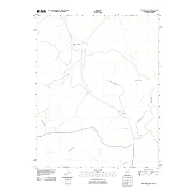 2010 Trinchera Pass2010 Print · USGSThe Colorado and New Mexico borderlands come into focus in this early twenty-first-century survey of the high mesas. Genealogists and local historians can trace family locations near the Pacheco Cemetery or the rural settlements of Doherty and Morrow.
Showing maps 1-25 of 360
Top cities of Colfax County
- Raton historical maps
- Angel Fire historical maps
- Springer historical maps
- Cimarron historical maps
- Eagle Nest historical maps
Frequently asked questions
- What are the different types of historical maps available for Colfax County?
- What is the oldest map of Colfax County?
- Where can I purchase historical maps of Colfax County for my home or office?
- Where can I download high-res historical maps of Colfax County?
- Are there historical topographic maps available for Colfax County?
- Is there historical aerial imagery available for Colfax County?
- Where are historical maps of Colfax County sourced from?