2000s (21st Century) Maps of Curry County, New Mexico
Explore 155 historic maps of Curry County from the 2000s (21st Century). These maps offer a rare glimpse into what life looked like during the 2000s — showing old roads, neighborhoods, homes, and landmarks that have changed or disappeared over time.
Whether you're researching your family's past, planning a metal detecting trip, or studying how Curry County's landscape evolved across the 2000s, these high-resolution maps are a powerful tool for exploring the history of this region.
- Focus on a specific era: All maps on this page are from the 2000s, giving you a focused view of this time period.
- See what’s changed: Compare century-old streets, trails, and buildings to today's modern landscape using overlays and satellite layers.
- Research with precision: Use these maps for genealogy, historical research, land use analysis, or educational projects.
- View, download, or print: Maps are fully viewable online in high resolution, and can be downloaded or printed for your own records.
Start exploring Curry County's history through authentic maps from the 2000s. This is your window into the past.
Curry County, NM maps
(155)- 2010 Map of Weber City, 2010 Print
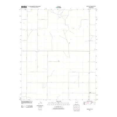 2010 Weber City2010 Print · USGSEastern New Mexico ranching and farming lands are documented here in the early twenty-first century. Genealogists and local historians can locate Yeakley Cemetery and the settlement of Weber City while tracing rural water sources like Law Lake.
 - 2010 Map of Day Canyon, 2010 Print
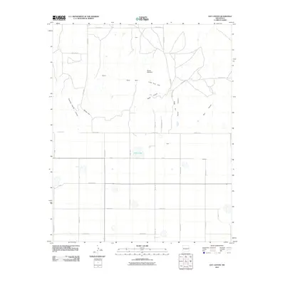 2010 Day Canyon2010 Print · USGSEastern New Mexico's ranching country is captured here in the early twenty-first century, showing the intersection of Quay and Curry Counties. Genealogists and local historians can trace the rural landscape surrounding Buffalo Lake and the small settlements of Rusk and Blackburn.
 - 2010 Map of Pleasant Hill, 2010 Print
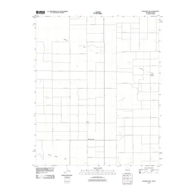 2010 Pleasant Hill2010 Print · USGSThe New Mexico-Texas borderlands are captured here in 2010, showing the agricultural grid of Curry County. Genealogists and historians can trace local landmarks like Pleasant Hill Cemetery, the settlement of Veterly, and the seasonal path of Mustang Draw.
 - 2010 Map of Field, 2010 Print
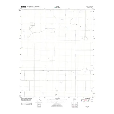 2010 Field2010 Print · USGSThe High Plains of eastern New Mexico at the dawn of the millennium are defined by a precise grid of rural section-line roads and family-named outposts. Local historians can trace the foundations of Field, find the Field Cemetery, and locate the Curtis and Curtis Airport.
 - 2010 Map of Tule Lake, 2010 Print
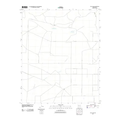 2010 Tule Lake2010 Print · USGSCurry County ranch lands are captured here in the early 2000s, showing the intersection of deep-rooted ranching and modern road grids. Local historians can trace family-named sites like Hart Ranch and Steele Ranch near the waters of Tule Lake.
 - 2010 Map of Endee Hill, 2010 Print
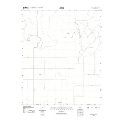 2010 Endee Hill2010 Print · USGSIn this 2010 study of the New Mexico-Texas borderlands, the high plains transition into deep drainages and isolated peaks. Genealogists and local historians can locate Mitchel Cemetery and Purcell or trace the routes of State Line Rd and Trujillo Creek.
 - 2010 Map of Pleasant Hill NW, 2010 Print
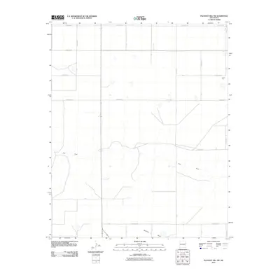 2010 Pleasant Hill NW2010 Print · USGSHigh plains agriculture and local geology define this Curry County landscape in the early twenty-first century. Researchers can trace the path of Frio Draw, locate rural Caliche Pits, and map the extensive road grid along Curry Road 32.
 - 2010 Map of Broadview, 2010 Print
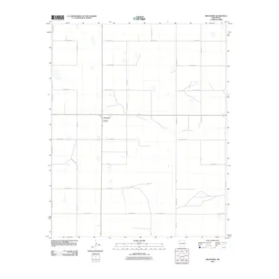 2010 Broadview2010 Print · USGSThe rural plains of Curry County come into focus in this late-career survey of a traditional New Mexico farming community. Genealogists and local historians can trace the intersection of old family routes like Humphrey Rd and landmarks such as the Broadview Post Office.
 - 2010 Map of Midway, 2010 Print
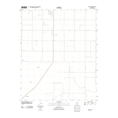 2010 Midway2010 Print · USGSMidway and the surrounding ranchlands of Roosevelt County are shown here as they appeared in the early 2000s. Researchers can trace rural property lines and family-named landmarks including Hardwick Ranch, Stewart Ranch, and the settlement of Cameo.
 - 2010 Map of Pleasure Lake, 2010 Print
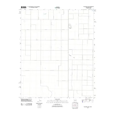 2010 Pleasure Lake2010 Print · USGSThis high plains landscape in eastern New Mexico was captured just as the century turned its first decade, showing a vast grid of rural section-line roads. Trace family roots and local history at the Old Farwell Cemetery or locate natural landmarks like Pleasure Lake and Blackwater Draw.
 - 2010 Map of Hammond Ranch SW, 2010 Print
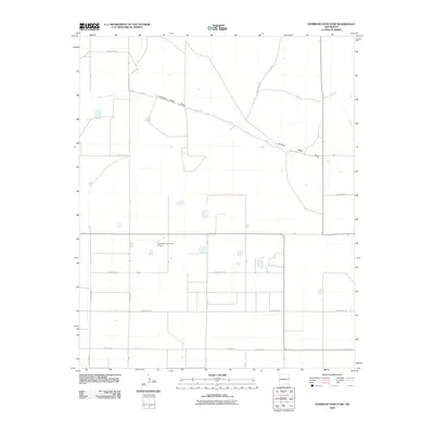 2010 Hammond Ranch SW2010 Print · USGSEastern New Mexico's ranching and agricultural country is captured here at the start of the twenty-first century. Researchers can trace the drainage of Running Water Draw or locate family aviation landmarks like Lockmiller and Sons Airport.
 - 2010 Map of Smith Ranch, 2010 Print
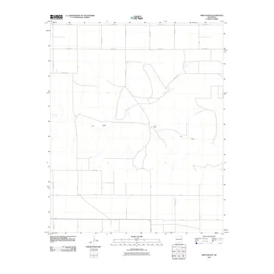 2010 Smith Ranch2010 Print · USGSCurry County ranch lands are documented here during the early twenty-first century, showing the intersection of agricultural life and the High Plains landscape. Researchers can trace the path of Frio Draw or locate the namesake Smith Ranch amid a network of rural routes like County Rd 33.
 - 2010 Map of Pleasant Hill NE, 2010 Print
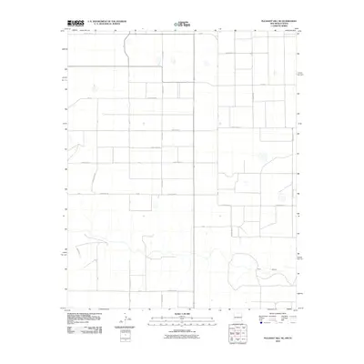 2010 Pleasant Hill NE2010 Print · USGSThe rural expanse of the New Mexico-Texas border comes into focus in this late-aughts survey of the high plains. Genealogists and local historians can trace the precise grid of family-land access roads like Curry Road 32 and the natural path of Frio Draw.
 - 2010 Map of Melrose SE, 2010 Print
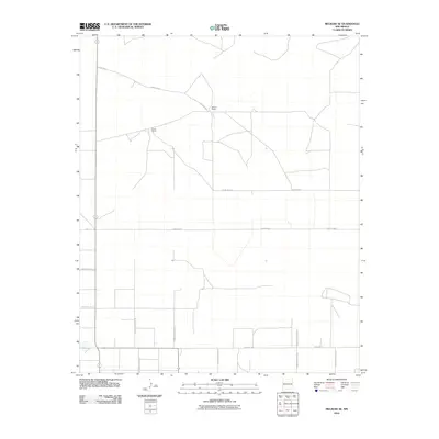 2010 Melrose SE2010 Print · USGSEastern New Mexico's ranching country is meticulously detailed in this High Plains survey at the start of the 2010s. Researchers can trace the rural property lines and road networks connecting family landmarks like Spencer Ranch and Smart Ranch along Baseline Rd.
 - 2010 Map of Portair SW, 2010 Print
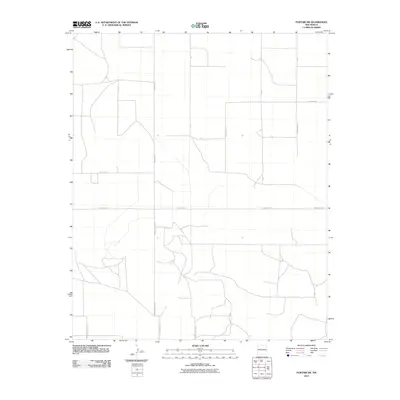 2010 Portair SW2010 Print · USGSThe High Plains of eastern New Mexico are captured in this early 21st-century survey of the rural landscape. Trace the intersection of agricultural road networks such as Curry Road 4, Curry Road Y, and S Roosevelt Road X.
 - 2010 Map of Wheatland, 2010 Print
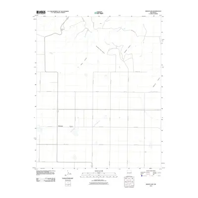 2010 Wheatland2010 Print · USGSWheatland and the surrounding Quay County ranchlands are captured here in the early twenty-first century as a grid of rural roads meets the Caprock. Researchers can locate the Wheatland Cemetery or trace the steep paths of Deadman Canyon and Horseshoe Cave Canyon.
 - 2010 Map of Bellview, 2010 Print
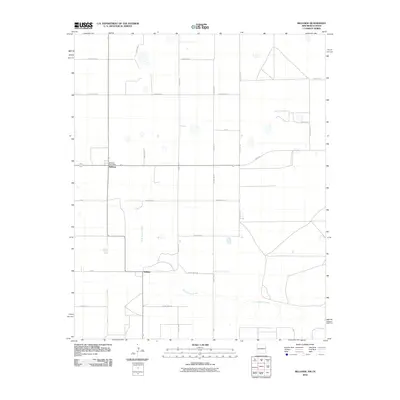 2010 Bellview2010 Print · USGSBellview and the New Mexico-Texas borderlands are captured here in the early 21st century, showing the enduring agricultural grid of Curry County. Local researchers can trace family lands near Bellview, the Bellview Post Office, and the course of Tierra Blanca Creek.
 - 2010 Map of Saint Vrain, 2010 Print
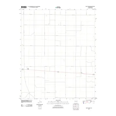 2010 Saint Vrain2010 Print · USGSCurry County's agricultural High Plains are documented here during the early twenty-first century, showing the rigid grid of the Llano Estacado. Local historians can trace the transit corridor connecting Saint Vrain and Grier via thoroughfares like Curry Road 11 and County Rd 13.
 - 2010 Map of Grady, 2010 Print
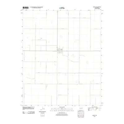 2010 Grady2010 Print · USGSIn the early twenty-first century, this eastern New Mexico landscape is a meticulously organized grid of ranching and farm roads. Local historians can trace the small settlements of Grady, Delaney, and Ware, alongside landmarks like the Grady Post Office.
 - 2010 Map of Clovis, 2010 Print
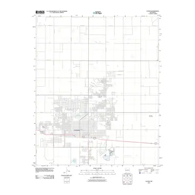 2010 Clovis2010 Print · USGSClovis stands as a vibrant high-plains center during its modern expansion in the early twenty-first century. Researchers can trace the town's layout and essential local landmarks, including Mission Garden Cemetery, the Clovis Post Office, and Santa Fe Lake.
 - 2010 Map of Hammond Ranch, 2010 Print
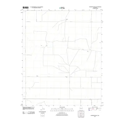 2010 Hammond Ranch2010 Print · USGSCurry County ranching country is captured here during the first decade of the millennium, showing the persistent rural layout of the High Plains. Genealogists and historians can locate Roach Cemetery and trace the boundaries of Hammond Ranch or the small settlement at Shaw.
 - 2010 Map of Field SE, 2010 Print
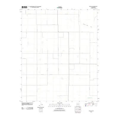 2010 Field SE2010 Print · USGSCurry County's agricultural heartland is documented here during the early twenty-first century, showing a landscape defined by an extensive road grid. Genealogists and local historians can trace rural property access via Curry Road AI and locate natural landmarks like Dead Horse Lake.
 - 2010 Map of Farwell, 2010 Print
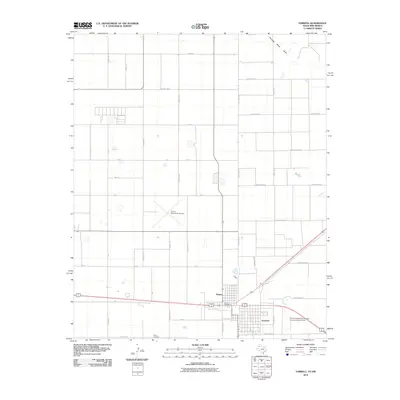 2010 Farwell2010 Print · USGSThe Texas-New Mexico border comes alive in this 2010 survey of the twin settlements of Farwell and Texico. Genealogists and local historians can trace the grid of the High Plains, locating the Texico Cemetery, Texico Post Office, and the Clovis Municipal Airport.
 - 2010 Map of Grady SW, 2010 Print
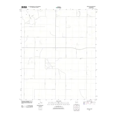 2010 Grady SW2010 Print · USGSThe high plains of eastern New Mexico meet the breaks of The Caprock in this early 21st-century survey of the Curry and Quay county line. Genealogists and local historians can trace the rural landscape around Owen, Best, and Hatfield.
 - 2010 Map of Melrose East, 2010 Print
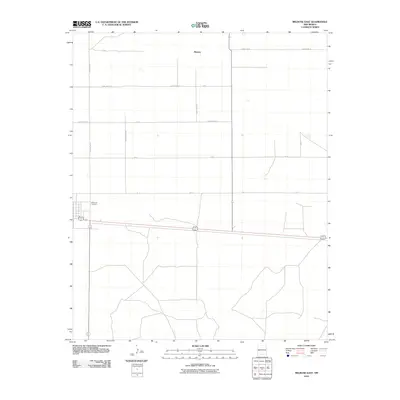 2010 Melrose East2010 Print · USGSEastern New Mexico's agricultural high plains are captured here in the early twenty-first century, centered on the grid-work surrounding Melrose. Genealogists and local historians can trace family land proximity to landmarks like Memorial Cemetery or along Curry Road AI.
Showing maps 1-25 of 155
Top cities of Curry County
Frequently asked questions
- What are the different types of historical maps available for Curry County?
- What is the oldest map of Curry County?
- Where can I purchase historical maps of Curry County for my home or office?
- Where can I download high-res historical maps of Curry County?
- Are there historical topographic maps available for Curry County?
- Is there historical aerial imagery available for Curry County?
- Where are historical maps of Curry County sourced from?