2020s Maps of Guadalupe County, New Mexico
Explore 130 historic maps of Guadalupe County from the 2020s. These maps offer a rare glimpse into what life looked like during the 2020s — showing old roads, neighborhoods, homes, and landmarks that have changed or disappeared over time.
Whether you're researching your family's past, planning a metal detecting trip, or studying how Guadalupe County's landscape evolved across the 2020s, these high-resolution maps are a powerful tool for exploring the history of this region.
- Focus on a specific era: All maps on this page are from the 2020s, giving you a focused view of this time period.
- See what’s changed: Compare century-old streets, trails, and buildings to today's modern landscape using overlays and satellite layers.
- Research with precision: Use these maps for genealogy, historical research, land use analysis, or educational projects.
- View, download, or print: Maps are fully viewable online in high resolution, and can be downloaded or printed for your own records.
Start exploring Guadalupe County's history through authentic maps from the 2020s. This is your window into the past.
Guadalupe County, NM maps
(130)- 2020 Map of Canada Colorado, 2020 Print
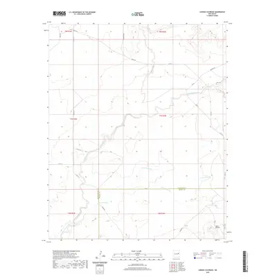 2020 Canada Colorado2020 Print · USGSCovers Guadalupe County, including De Baca County, United States, and other nearby areas
 - 2020 Map of San Ignacio, 2020 Print
 2020 San Ignacio2020 Print · USGSCovers Guadalupe County, including San Ignacio, Bibbs Ranch, and other nearby areas
 - 2020 Map of Colorado Canyon, 2020 Print
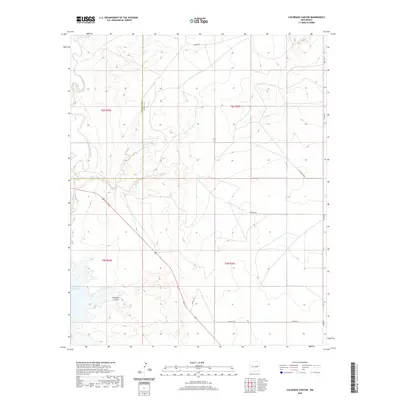 2020 Colorado Canyon2020 Print · USGSCovers Guadalupe County, including Lake Sumner, De Baca County, and other nearby areas
 - 2020 Map of Puerto Creek, 2020 Print
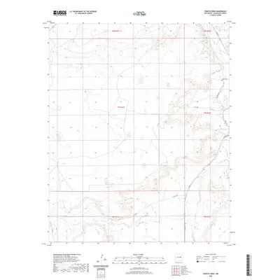 2020 Puerto Creek2020 Print · USGSCovers Guadalupe County, including United States, New Mexico, and other nearby areas
 - 2020 Map of Puerto De Luna, 2020 Print
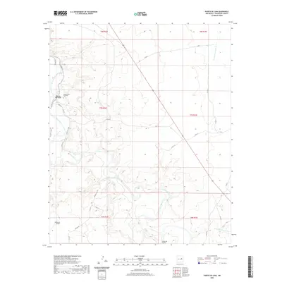 2020 Puerto De Luna2020 Print · USGSCovers Guadalupe County, including Puerto De Luna, United States, and other nearby areas
 - 2020 Map of El Morro Ranch, 2020 Print
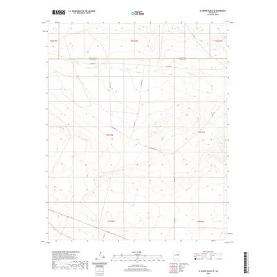
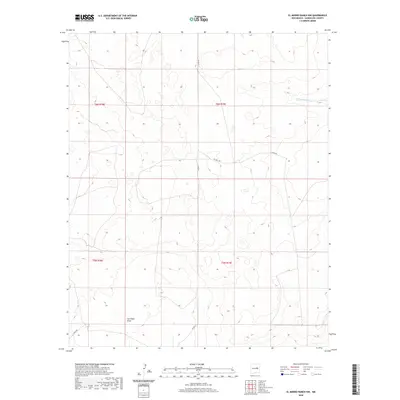
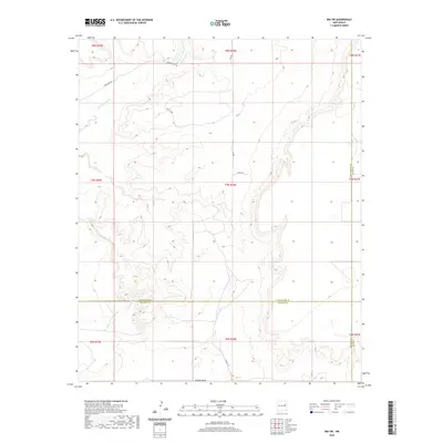
 2020 El Morro Ranch2020 Print · USGSCovers Guadalupe County, including De Baca County, United States, and other nearby areas
 - 2020 Map of Fallon Ranch, 2020 Print
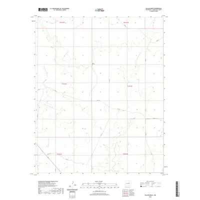 2020 Fallon Ranch2020 Print · USGSCovers Guadalupe County, including United States, New Mexico, and other nearby areas
 - 2020 Map of Sumner Dam, 2020 Print
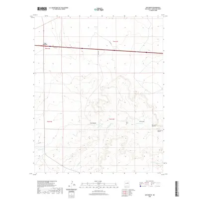
 2020 Sumner Dam2020 Print · USGSCovers Guadalupe County, including Lake Sumner, Guadalupe, and other nearby areas
 - 2020 Map of Duoro, 2020 Print
 2020 Duoro2020 Print · USGSCovers Guadalupe County, including De Baca County, United States, and other nearby areas
 - 2020 Map of Pastura, 2020 Print
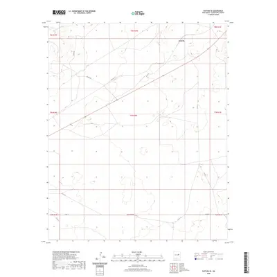
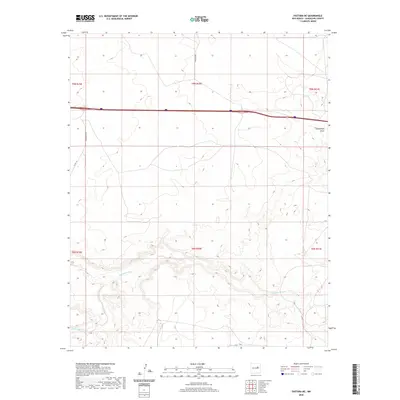
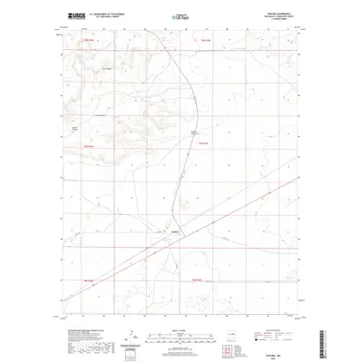 2020 Pastura2020 Print · USGSCovers Guadalupe County, including Pastura, United States, and other nearby areas
 - 2020 Map of El Morro Ranch SE, 2020 Print
 2020 El Morro Ranch SE2020 Print · USGSCovers Guadalupe County, including De Baca County, United States, and other nearby areas
 - 2020 Map of Sunshine Mesa, 2020 Print
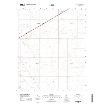 2020 Sunshine Mesa2020 Print · USGSCovers Guadalupe County, including Los Tanos, United States, and other nearby areas
 - 2020 Map of El Morro Ranch NW, 2020 Print
 2020 El Morro Ranch NW2020 Print · USGSCovers Guadalupe County, including United States, New Mexico, and other nearby areas
 - 2020 Map of Ima NW, 2020 Print
 2020 Ima NW2020 Print · USGSCovers Guadalupe County, including Quay County, United States, and other nearby areas
 - 2020 Map of Pastura SE, 2020 Print
 2020 Pastura SE2020 Print · USGSCovers Guadalupe County, including Arabella, United States, and other nearby areas
 - 2020 Map of Laguna De Los Terreros, 2020 Print
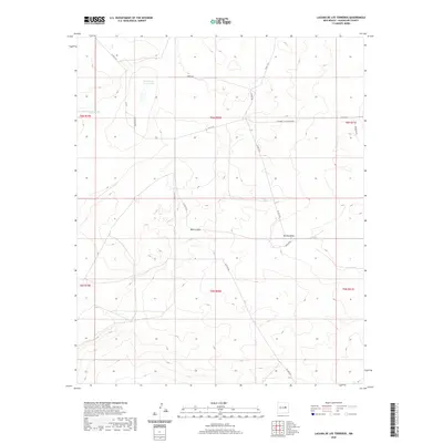 2020 Laguna De Los Terreros2020 Print · USGSCovers Guadalupe County, including United States, New Mexico, and other nearby areas
 - 2020 Map of Ima SW, 2020 Print
 2020 Ima SW2020 Print · USGSCovers Guadalupe County, including De Baca County, Quay County, and other nearby areas
 - 2020 Map of Cooper Ranch, 2020 Print
 2020 Cooper Ranch2020 Print · USGSCovers Guadalupe County, including Lake Sumner, De Baca County, and other nearby areas
 - 2020 Map of Borica SW, 2020 Print
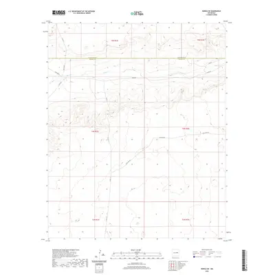 2020 Borica SW2020 Print · USGSCovers Guadalupe County, including De Baca County, United States, and other nearby areas
 - 2020 Map of Borica, 2020 Print
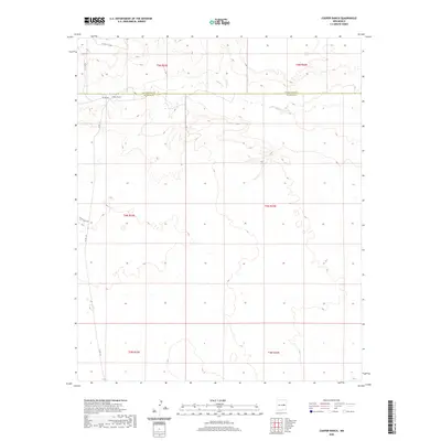
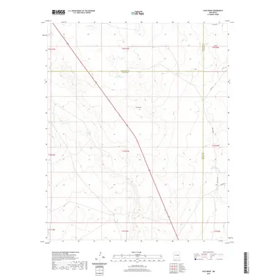
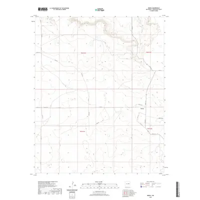 2020 Borica2020 Print · USGSCovers Guadalupe County, including Borica, United States, and other nearby areas
 - 2020 Map of Loco Draw, 2020 Print
 2020 Loco Draw2020 Print · USGSCovers Guadalupe County, including Lincoln County, De Baca County, and other nearby areas
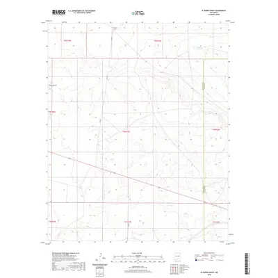
 - 2020 Map of Gibbons Ranch, 2020 Print
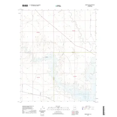 2020 Gibbons Ranch2020 Print · USGSCovers Guadalupe County, including Los Ojitos, Lake Sumner, and other nearby areas
 - 2020 Map of Salt Lake, 2020 Print
 2020 Salt Lake2020 Print · USGSCovers Guadalupe County, including United States, New Mexico, and other nearby areas
 - 2020 Map of Pastura NE, 2020 Print
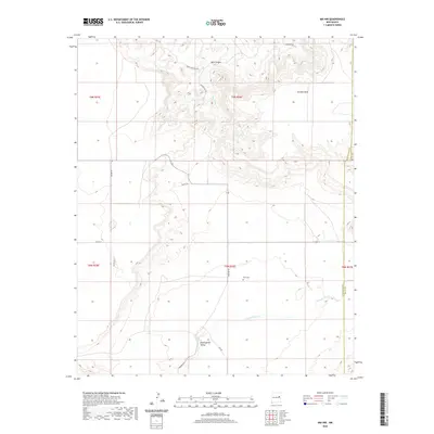
 2020 Pastura NE2020 Print · USGSCovers Guadalupe County, including Moise Ranch, United States, and other nearby areas
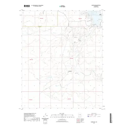
 - 2020 Map of Harben Lake, 2020 Print
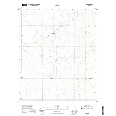
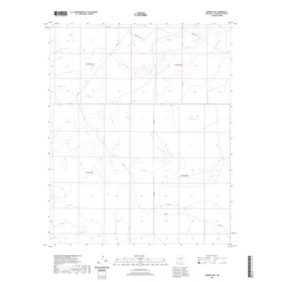 2020 Harben Lake2020 Print · USGSCovers Guadalupe County, including United States, New Mexico, and other nearby areas
Showing maps 1-25 of 130
Top cities of Guadalupe County
Frequently asked questions
- What are the different types of historical maps available for Guadalupe County?
- What is the oldest map of Guadalupe County?
- Where can I purchase historical maps of Guadalupe County for my home or office?
- Where can I download high-res historical maps of Guadalupe County?
- Are there historical topographic maps available for Guadalupe County?
- Is there historical aerial imagery available for Guadalupe County?
- Where are historical maps of Guadalupe County sourced from?