2000s (21st Century) Maps of Guadalupe County, New Mexico
Explore 326 historic maps of Guadalupe County from the 2000s (21st Century). These maps offer a rare glimpse into what life looked like during the 2000s — showing old roads, neighborhoods, homes, and landmarks that have changed or disappeared over time.
Whether you're researching your family's past, planning a metal detecting trip, or studying how Guadalupe County's landscape evolved across the 2000s, these high-resolution maps are a powerful tool for exploring the history of this region.
- Focus on a specific era: All maps on this page are from the 2000s, giving you a focused view of this time period.
- See what’s changed: Compare century-old streets, trails, and buildings to today's modern landscape using overlays and satellite layers.
- Research with precision: Use these maps for genealogy, historical research, land use analysis, or educational projects.
- View, download, or print: Maps are fully viewable online in high resolution, and can be downloaded or printed for your own records.
Start exploring Guadalupe County's history through authentic maps from the 2000s. This is your window into the past.
Guadalupe County, NM maps
(326)- 2002 Map of San Juan, 2003 Print
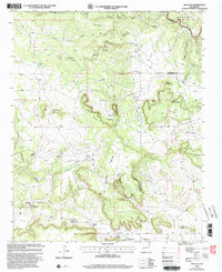 2002 San Juan2003 Print · USGSSan Miguel County ranching country and the Pecos River valley appear here in a detailed late twentieth-century update. Researchers can locate family outposts like T Gallegos Ranch and Romero Ranch alongside the high plateaus of Mesa Segura.
 - 2010 Map of Thompson Ranch, 2010 Print
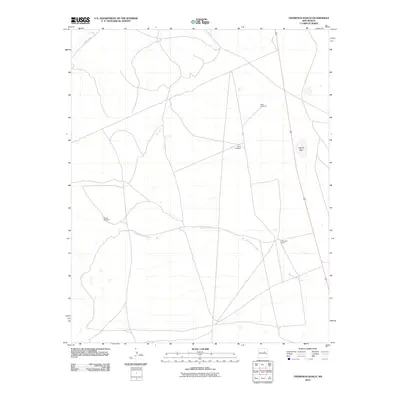 2010 Thompson Ranch2010 Print · USGSGuadalupe County ranching country is shown here in the early twenty-first century, centered on the historic Thompson Ranch. Local researchers can trace water sources like Agua de los Juanes and find named landmarks like Miser Windmill and Laguna Seca.
 - 2010 Map of Tejon, 2010 Print
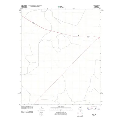 2010 Tejon2010 Print · USGSGuadalupe County at the start of the millennium is a land of wide-open horizons and isolated crossroads. Researchers can trace the intersection of regional highways 60 285 and 54 near the rural settlements of Tejon and Indiole.
 - 2010 Map of Long Draw, 2010 Print
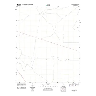 2010 Long Draw2010 Print · USGSGuadalupe County's high plains are captured here in the early twenty-first century, showing a landscape defined by open space and vital road links. Researchers can trace the path of Long Draw and locate the terrain of Sotano Blanco near the junction of U.S. 60 and U.S. 285.
 - 2010 Map of Gacho Hill SW, 2010 Print
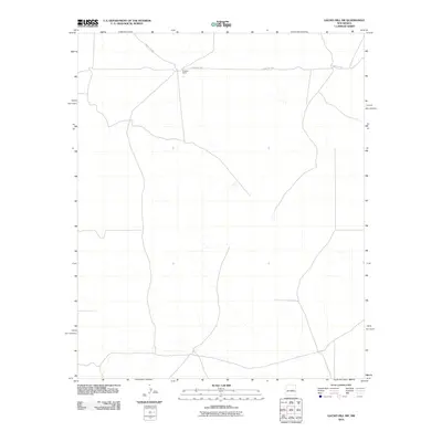 2010 Gacho Hill SW2010 Print · USGSLincoln County ranching country is documented here during the early twenty-first century, showing the quiet character of the New Mexico plains. Researchers can locate Burgette Ranch and follow the route of County Rd-3ka across this rural landscape.
 - 2010 Map of Duran NE, 2010 Print
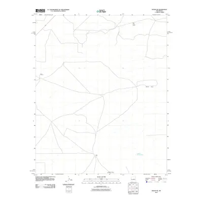 2010 Duran NE2010 Print · USGSTorrance County ranching lands and desert draws are captured here in the early twenty-first century. Genealogists and local historians can locate Duran Cemetery and trace the paths of Tall Pine Draw and Hindi Ranch.
 - 2010 Map of Milagro, 2010 Print
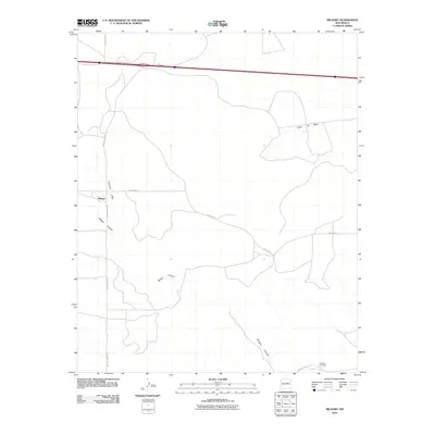 2010 Milagro2010 Print · USGSThe rural New Mexico landscape near Milagro is captured here in the early twenty-first century, showing a mix of modern interstate travel and traditional ranch roads. Researchers can locate the Sombrio Cemetery and trace the paths of Milagro Canyon and Pintada Arroyo.
 - 2010 Map of Mesa Leon, 2010 Print
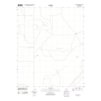 2010 Mesa Leon2010 Print · USGSGuadalupe County's high desert landscape appears here as it was in the early 2000s, centered on the high ground of Mesa Leon. Genealogists and local historians can trace ranching infrastructure and remote outposts like Leoncito, Burton Windmill, and Fogon Windmill.
 - 2010 Map of George Ranch, 2010 Print
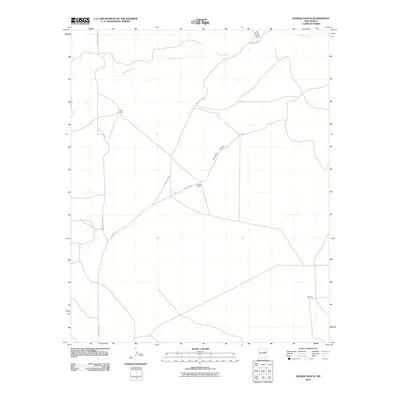 2010 George Ranch2010 Print · USGSGuadalupe County ranching country is documented here in the early twenty-first century, showing the enduring nature of New Mexico's rural landscape. Genealogists and local historians can locate specific family holdings like George Ranch, Roark Ranch, and the Martinez settlement.
 - 2010 Map of Pinavete Canyon, 2010 Print
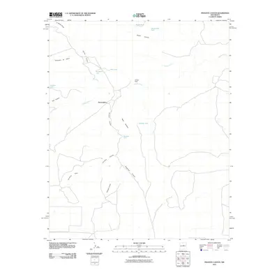 2010 Pinavete Canyon2010 Print · USGSTorrance County ranching country is documented here in the early twenty-first century, showing a landscape defined by water and terrain. Genealogists and land researchers can trace family-named sites like Mesa Apodaca, Armijo Peak, and the settlement at Derramadero.
 - 2010 Map of Burro Lake, 2010 Print
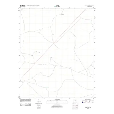 2010 Burro Lake2010 Print · USGSGuadalupe County ranching lands are captured in the early twenty-first century, showing a landscape defined by vital water sources. You can trace the path of San Pablo Draw or locate family-named landmarks like Winkle Windmill and the North Winkle Windmill.
 - 2010 Map of Santa Barbara Lake, 2010 Print
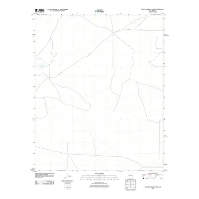 2010 Santa Barbara Lake2010 Print · USGSTorrance County, New Mexico, is shown in the early 2000s as a landscape defined by its isolated water sources and rural road network. Genealogists and local historians can trace the specific corridors of County RD-C076 and County RD-4 near Santa Barbara Lake.
 - 2010 Map of Gacho Hill SE, 2010 Print
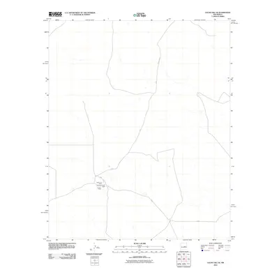 2010 Gacho Hill SE2010 Print · USGSLincoln County ranching country is documented here in the early twenty-first century, showing the persistence of rural homesteads. Genealogists and local historians can trace the specific locations of Roadrunner Ranch and Sanders Ranch along County Rd 31.
 - 2010 Map of Vaughn, 2010 Print
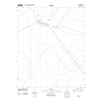 2010 Vaughn2010 Print · USGSVaughn and the surrounding desert landscape are captured here in the early twenty-first century as a critical crossroads. Family historians can locate the Vaughn Evergreen Cemetery or trace the development of the town near the Vaughn Post Office.
 - 2010 Map of Gacho Hill NW, 2010 Print
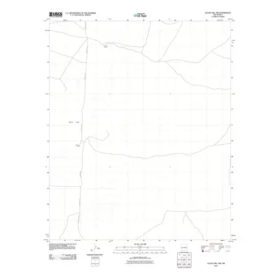 2010 Gacho Hill NW2010 Print · USGSGuadalupe County rangeland comes into focus in the early twenty-first century, showcasing the sparse settlement of the New Mexico high plains. Genealogists and local historians can trace the locations of Vicente Ranch and Del Curto Ranch along Marino Draw.
 - 2010 Map of Camaleon Draw East, 2010 Print
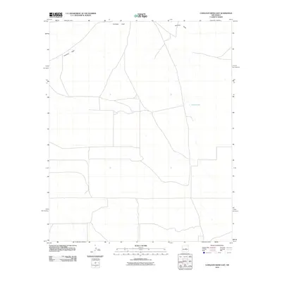 2010 Camaleon Draw East2010 Print · USGSLincoln County at the start of the 2010s reveals a ranching landscape defined by its essential water features. Researchers can trace the path of Camaleon Draw across the terrain or locate the isolated catchment of Jojonera Lake.
 - 2010 Map of Tapia Ranch, 2010 Print
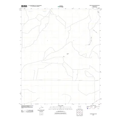 2010 Tapia Ranch2010 Print · USGSGuadalupe County ranching country is documented here in the early 2000s, showing a landscape defined by mesa tops and canyon breaks. Researchers can trace land use around Tapia Ranch and follow natural features like Pintada Arroyo and Argonne Mesa.
 - 2010 Map of Puerto De Luna, 2010 Print
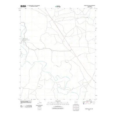 2010 Puerto De Luna2010 Print · USGSGuadalupe County at the start of the twenty-first century reveals a landscape shaped by the Pecos River and small ranching communities. Genealogists and local historians can trace the foundations of Puerto De Luna and the Nuestra Senora De Refugio Cemetery.
 - 2010 Map of Fallon Ranch, 2010 Print
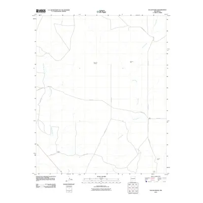 2010 Fallon Ranch2010 Print · USGSGuadalupe County ranchlands in the early 2000s are defined by isolated homesteads and the seasonal arroyos that sustain them. Genealogists and local historians can trace legacy properties like Fallon Ranch and Bray Ranch or locate Mount Zion Cemetery.
 - 2010 Map of Santa Rosa, 2010 Print
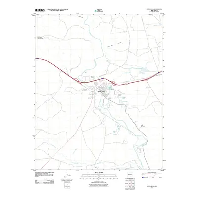 2010 Santa Rosa2010 Print · USGSIn the early twenty-first century, this high-plains hub centered on the Pecos River remains a vital New Mexico crossroads. Local historians and genealogists can trace the town's roots through its many burial grounds, including Saint Rose of Lima Cemetery, and the legendary path of Historic Route 66.
 - 2010 Map of Cooper Ranch, 2010 Print
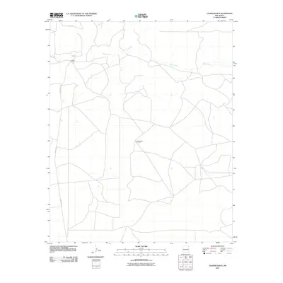 2010 Cooper Ranch2010 Print · USGSDe Baca County ranching country is captured here during the early 21st century, showing the enduring landscape of the high plains. Researchers can trace the drainage of Salado Creek or locate local landmarks like Cooper Ranch and the Upper Wagon Windmill.
 - 2010 Map of San Ignacio, 2010 Print
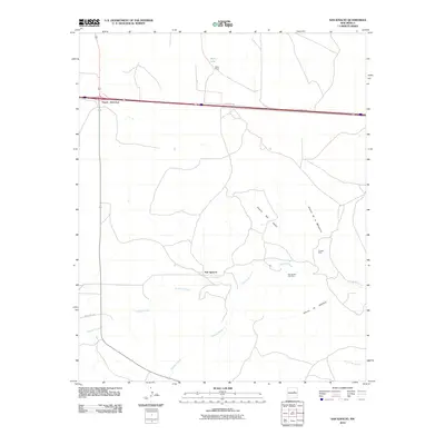 2010 San Ignacio2010 Print · USGSGuadalupe County ranchlands and high-desert drainages are mapped here in the years following the turn of the millennium. Researchers can locate the Pintada Mine, trace the winding Pintada Arroyo, and find family history at the San Ignacio Cemetery.
 - 2010 Map of Pastura NE, 2010 Print
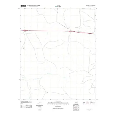 2010 Pastura NE2010 Print · USGSGuadalupe County ranchlands are captured here in the early twenty-first century, showing a landscape shaped by vast pastures and seasonal watercourses. Genealogists and local historians can trace family-named sites like Moise Ranch, Martinez, and the Middle Pasture Windmill.
 - 2010 Map of Laguna De Los Terreros, 2010 Print
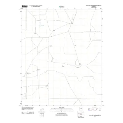 2010 Laguna De Los Terreros2010 Print · USGSGuadalupe County ranchlands are documented here at the start of the twenty-first century, showing a landscape defined by vital water points. Researchers can locate specific family-held tracts like Romero Ranch and isolated landmarks such as High Lonesome Windmill.
 - 2010 Map of El Morro Ranch, 2010 Print
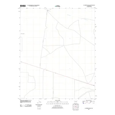 2010 El Morro Ranch2010 Print · USGSGuadalupe County ranching country is documented here in the early twenty-first century. Researchers can trace the rural landscape through family-named landmarks like El Morro Ranch and the geographic feature of Sotano Blanco.
Showing maps 1-25 of 326
Top cities of Guadalupe County
Frequently asked questions
- What are the different types of historical maps available for Guadalupe County?
- What is the oldest map of Guadalupe County?
- Where can I purchase historical maps of Guadalupe County for my home or office?
- Where can I download high-res historical maps of Guadalupe County?
- Are there historical topographic maps available for Guadalupe County?
- Is there historical aerial imagery available for Guadalupe County?
- Where are historical maps of Guadalupe County sourced from?