2020s Maps of Sierra County, New Mexico
Explore 174 historic maps of Sierra County from the 2020s. These maps offer a rare glimpse into what life looked like during the 2020s — showing old roads, neighborhoods, homes, and landmarks that have changed or disappeared over time.
Whether you're researching your family's past, planning a metal detecting trip, or studying how Sierra County's landscape evolved across the 2020s, these high-resolution maps are a powerful tool for exploring the history of this region.
- Focus on a specific era: All maps on this page are from the 2020s, giving you a focused view of this time period.
- See what’s changed: Compare century-old streets, trails, and buildings to today's modern landscape using overlays and satellite layers.
- Research with precision: Use these maps for genealogy, historical research, land use analysis, or educational projects.
- View, download, or print: Maps are fully viewable online in high resolution, and can be downloaded or printed for your own records.
Start exploring Sierra County's history through authentic maps from the 2020s. This is your window into the past.
Sierra County, NM maps
(174)- 2020 Map of Wall Lake, 2020 Print
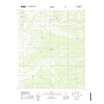 2020 Wall Lake2020 Print · USGSCatron County, New Mexico, is shown in 2020 as a rugged landscape of high-elevation water management and forest service routes. Researchers can trace the drainage patterns of Diamond Creek and locate remote landmarks like Wall Lake and Undertaker Tank.
 - 2020 Map of Spring Canyon, 2020 Print
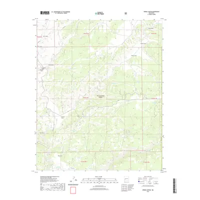 2020 Spring Canyon2020 Print · USGSThe high mesas of Catron County's southwest interior were meticulously mapped in 2020 within the Gila National Forest. Researchers can trace the water infrastructure of this remote country through dozens of named landmarks like V-Cross-T Lake, Good Heavens Tank, and Kemp Mesa.
 - 2020 Map of Middle Mesa, 2020 Print
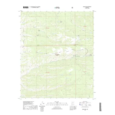 2020 Middle Mesa2020 Print · USGSGrant County ranchlands and forest reserves are captured here in the twenty-first century. Researchers can trace land use patterns through numerous named water tanks and high-altitude landmarks like Me-Own Airport, Meason Flat, and Tom Moore Canyon.
 - 2020 Map of Alivio, 2020 Print
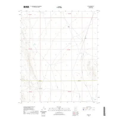 2020 Alivio2020 Print · USGSDoña Ana and Sierra counties are captured here in a modern landscape of desert ranching and remote basins. Researchers can trace the water-dependent network of the area via Alivio, the McLeod Hills, and distinctive catchments like Upside Down Tank and Toby Hole.
 - 2020 Map of Clark Spring Canyon, 2020 Print
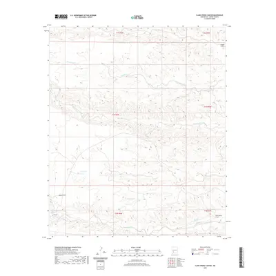 2020 Clark Spring Canyon2020 Print · USGSSierra County's high-desert canyons and drainage networks are documented here in the early twenty-first century. Researchers can locate remote water sources and landmarks like Clark Spring, Shorthorn Springs, and the namesake Clark Spring Canyon.
 - 2020 Map of Arroyo Cuervo, 2020 Print
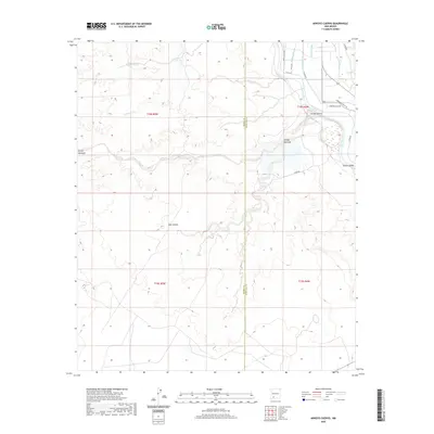 2020 Arroyo Cuervo2020 Print · USGSThe Mesilla Valley near the Sierra County line appears here in the modern era, showing the vital irrigation systems along the Rio Grande. Researchers can trace the complex water network of the Rincon Valley, from the Garfield Canal to the deeply cut Arroyo Cuervo.
 - 2020 Map of Whiterock Mountain, 2020 Print
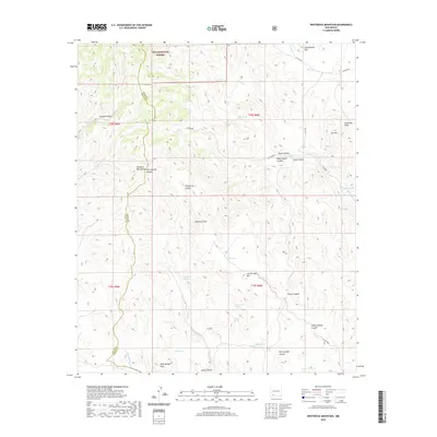 2020 Whiterock Mountain2020 Print · USGSThe high peaks of the Mimbres Mountains and the canyons of the Gila National Forest are shown here in modern detail. Researchers can trace the paths of historic backcountry routes and locate vital water sources like Taylor Spring and Log Spring.
 - 2020 Map of Garfield, 2020 Print
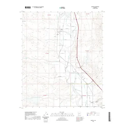 2020 Garfield2020 Print · USGSThe Rio Grande valley south of Caballo Reservoir comes to life in this survey of the irrigated farmlands surrounding Arrey, Derry, and Garfield. Researchers can trace the intricate network of the Arrey Canal, Percha Lateral, and historic local routes like Arrey School Rd.
 - 2020 Map of Lake Valley, 2020 Print
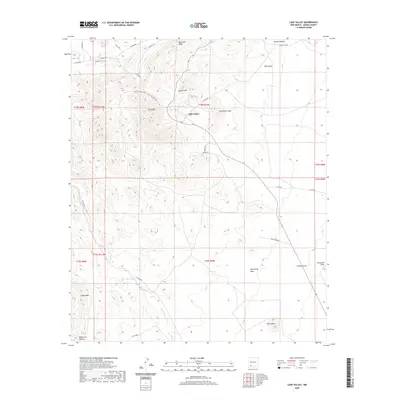 2020 Lake Valley2020 Print · USGSLake Valley and the surrounding Sierra County highlands are captured here in the modern era, revealing a landscape of high-desert peaks and canyons. Researchers can trace the drainage of Macho Creek or locate local landmarks like Macho Spring, Apache Hill, and Quartzite Ridge.
 - 2020 Map of McLeod Tank, 2020 Print
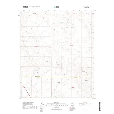 2020 McLeod Tank2020 Print · USGSSouthern New Mexico's arid ranchlands are captured here in the years following the turn of the millennium. Researchers can trace land use through water features like Broken House Tank and the prominence of the Caballo Mountains and McLeod Hills.
 - 2020 Map of OK Canyon, 2020 Print
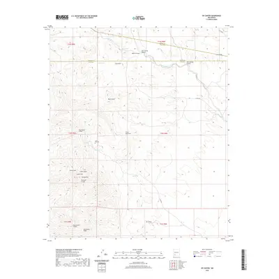 2020 OK Canyon2020 Print · USGSThe high desert of Grant and Luna counties comes alive in this modern survey of the prominent Cookes Range. Local researchers can locate the Cookes Peak Cem and trace seasonal water sources like Mule Springs and Riley Spring through the surrounding canyons.
 - 2020 Map of Hillsboro Peak, 2020 Print
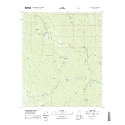 2020 Hillsboro Peak2020 Print · USGSThe high ridges of the Black Range and Gila National Forest are captured here in the contemporary era. Researchers can trace the rugged geography of Black Range Crest, find landmark points like Emery Pass, and follow drainages from Animas Creek to Lower Gallinas.
 - 2020 Map of Nutt, 2020 Print
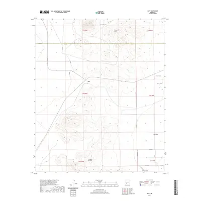 2020 Nutt2020 Print · USGSThe borderlands of Luna and Sierra counties are captured here in the modern era, showing the intersection of desert peaks and basin life. Genealogists and researchers can trace local connections through Nutt and the drainage patterns of Duran Canyon or Thirtysix Canyon.
 - 2020 Map of Hockett, 2020 Print
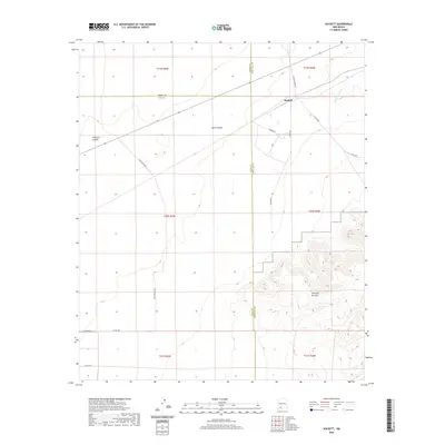 2020 Hockett2020 Print · USGSThe high desert of southern New Mexico meets at the junction of three counties in the contemporary era. Researchers can trace rural routes like Hilburn Dr and locate landmarks such as Hockett and the rising peaks of the Sierra de las Uvas.
 - 2020 Map of Hillsboro, 2020 Print
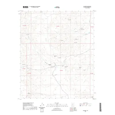 2020 Hillsboro2020 Print · USGSHillsboro and its high-desert mining surroundings are documented in this recent survey of the New Mexico landscape. Researchers can trace the local road network through Copper Flat or locate landmarks such as Animas Peak and Ready Pay Gulch.
 - 2020 Map of Upham, 2020 Print
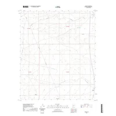 2020 Upham2020 Print · USGSSierra County's arid rangelands come into focus in this recent survey of the area surrounding Upham. Researchers can trace old routes like the Aleman Shortcut and locate vital water sources including Rabbit Tank and Miller Tank.
 - 2020 Map of Caballo, 2020 Print
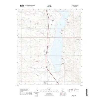 2020 Caballo2020 Print · USGSSierra County's Rio Grande corridor is shown here as it appeared in 2020, centered on the Caballo Reservoir. Researchers can trace local landmarks like Oasis, the Caballo Cem, and numerous named drainages such as Wild Horse Canyon.
 - 2020 Map of Apache Gap, 2020 Print
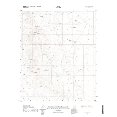 2020 Apache Gap2020 Print · USGSSierra County’s high desert peaks and hidden canyons are captured here in the contemporary era. Researchers can trace historic land use through named watering holes like Ghost Tank and follow topographical passages through Apache Gap or Bat Cave Canyon.
 - 2020 Map of Jug Canyon, 2020 Print
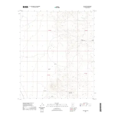 2020 Jug Canyon2020 Print · USGSSierra County’s desert interior is documented here in the early twenty-first century, showing a landscape shaped by rugged canyons and seasonal arroyos. Researchers can trace the drainage patterns of Jug Canyon, Outlaw Canyon, and the landmark height of Nutt Mtn.
 - 2020 Map of McClede Mountain, 2020 Print
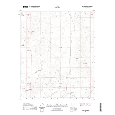 2020 McClede Mountain2020 Print · USGSSierra County's high desert landscape comes into focus in the early twenty-first century, showing the intricate drainages around McClede Mtn. Trace historical routes and ranching landmarks like the Victorio Trl, O Bar O Peak, and McClede Spring.
 - 2020 Map of Kingston, 2020 Print
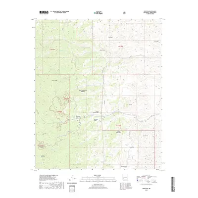 2020 Kingston2020 Print · USGSKingston and the high ridges of the Mimbres Mountains are surveyed here in the modern era. Genealogists and hikers can trace the original street grid near Ladron Gulch, follow the Scenic Trail, or locate water sources like Rock Spring and Mud Spring.
 - 2020 Map of Greg Hills, 2020 Print
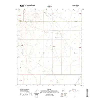 2020 Greg Hills2020 Print · USGSGrant County’s high-desert canyons and three-county border are documented here in the early twenty-first century. Researchers can trace remote drainage networks and ranching access via Whiterock Canyon, Greg Spring, and Macho Rd.
 - 2020 Map of Maverick Mountain, 2020 Print
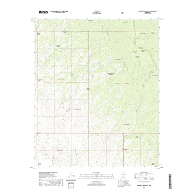 2020 Maverick Mountain2020 Print · USGSGrant County high country is shown here in the years following the turn of the millennium, centered on the rugged crest of the Black Range. Researchers can trace old mining access via Royal John Mine Rd and locate remote landmarks like Squirrel Spring and Maverick Mtn.
 - 2020 Map of P A Mountain, 2020 Print
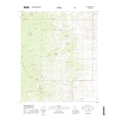 2020 P A Mountain2020 Print · USGSGrant and Sierra Counties are shown here during the modern era, revealing a high-desert landscape of the Mimbres Mountains and Gila National Forest. Researchers can locate remote water sources and peaks like McMullen Spring, P A Mtn, and Signal Peak.
 - 2020 Map of Skute Stone Arroyo, 2020 Print
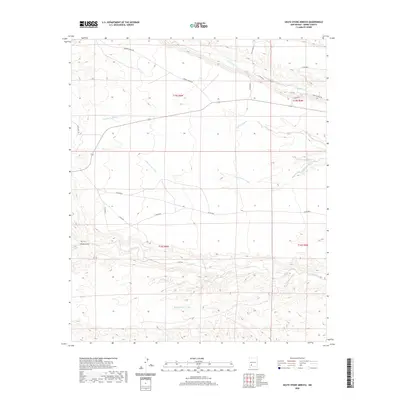 2020 Skute Stone Arroyo2020 Print · USGSSierra County ranch lands are detailed in this recent study of the high-desert terrain near the Gila wilderness. Researchers can trace the winding paths of Skute Stone Arroyo, Percha Creek, and landmarks like Wicks Gulch.
Showing maps 1-25 of 174
Top cities of Sierra County
Frequently asked questions
- What are the different types of historical maps available for Sierra County?
- What is the oldest map of Sierra County?
- Where can I purchase historical maps of Sierra County for my home or office?
- Where can I download high-res historical maps of Sierra County?
- Are there historical topographic maps available for Sierra County?
- Is there historical aerial imagery available for Sierra County?
- Where are historical maps of Sierra County sourced from?