2000s (21st Century) Maps of Sierra County, New Mexico
Explore 435 historic maps of Sierra County from the 2000s (21st Century). These maps offer a rare glimpse into what life looked like during the 2000s — showing old roads, neighborhoods, homes, and landmarks that have changed or disappeared over time.
Whether you're researching your family's past, planning a metal detecting trip, or studying how Sierra County's landscape evolved across the 2000s, these high-resolution maps are a powerful tool for exploring the history of this region.
- Focus on a specific era: All maps on this page are from the 2000s, giving you a focused view of this time period.
- See what’s changed: Compare century-old streets, trails, and buildings to today's modern landscape using overlays and satellite layers.
- Research with precision: Use these maps for genealogy, historical research, land use analysis, or educational projects.
- View, download, or print: Maps are fully viewable online in high resolution, and can be downloaded or printed for your own records.
Start exploring Sierra County's history through authentic maps from the 2000s. This is your window into the past.
Sierra County, NM maps
(435)- 2010 Map of Huerfano Hill, 2010 Print
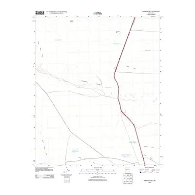 2010 Huerfano Hill2010 Print · USGSSierra County's arid high-country terrain is captured here in the early twenty-first century, showcasing the essential water and road networks of the ranching landscape. Researchers can trace the paths of Alamosa Creek or locate local landmarks like Huerfano Hill and the Cuchillo Community Allotment Reservoir.
 - 2010 Map of Skute Stone Arroyo, 2010 Print
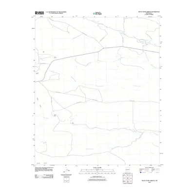 2010 Skute Stone Arroyo2010 Print · USGSSierra County's arid ranchlands and old mining outposts are documented here in the early twenty-first century. Genealogists and local historians can trace family-named sites like Coalson Ranch and Clark Ranch or locate the site of Golddust Camp.
 - 2010 Map of Saladone Tank, 2010 Print
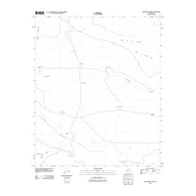 2010 Saladone Tank2010 Print · USGSSierra County ranching country is documented here in the early twenty-first century, showing a landscape defined by desert water management. Researchers can locate remote landmarks like School Section Tank, the long path of King Arroyo, and historic ranch access via Ladder Ranch Rd.
 - 2010 Map of Nutt, 2010 Print
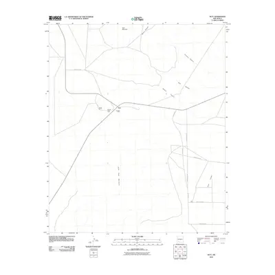 2010 Nutt2010 Print · USGSNutt and the surrounding Luna County ranch lands are captured here in the early twenty-first century. Researchers can trace local landmarks like Winden Ranch, the Nutt Post Office, and the prominent peaks of the Good Sight Mountains.
 - 2010 Map of OK Canyon, 2010 Print
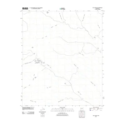 2010 OK Canyon2010 Print · USGSMining and ranching history converge in the desert of Grant County during the early twenty-first century. Genealogists and historians can trace old mining claims like the Gladys Mine and Graphic Mine, or locate the historic Cooks Peak Cemetery.
 - 2010 Map of Williamsburg, 2010 Print
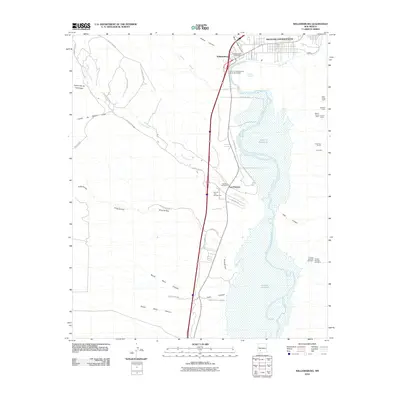 2010 Williamsburg2010 Print · USGSSierra County's Rio Grande corridor is shown in the early twenty-first century as the river feeds the Caballo Reservoir. Researchers can locate the Palomas Cemetery and Williamsburg Post Office, or trace mining history at the Franklin Number One Mine and Wild Horse Claim.
 - 2010 Map of Engle, 2010 Print
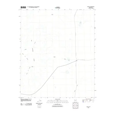 2010 Engle2010 Print · USGSEngle and the surrounding Sierra County high desert are captured here in the early twenty-first century. Genealogists and historians can locate the Engle Cemetery and trace land use at the Seven T X Camp or near the remote Larson Windmill.
 - 2010 Map of Priest Tank, 2010 Print
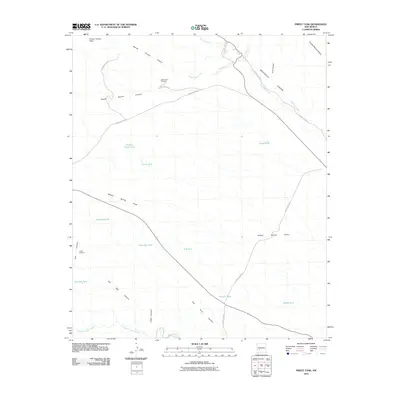 2010 Priest Tank2010 Print · USGSSierra County ranching country is mapped here in the early twenty-first century, showing a high-desert landscape of canyons and vital water catchments. Genealogists and historians can trace family-named landmarks like Aden Torres Windmill, Samora Tank, and Bernal Chavez Canyon.
 - 2010 Map of Palomas Gap, 2010 Print
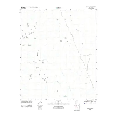 2010 Palomas Gap2010 Print · USGSThe Caballo Mountains in south-central New Mexico appear here in a period of modern resource mapping and state park conservation. Researchers can trace dozens of specific claims and shafts, from the Black Jack Mine to the Yellowjacket Mine Number 2 and the Marian Mine.
 - 2010 Map of Greg Hills, 2010 Print
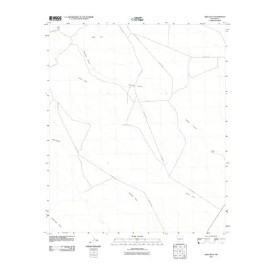 2010 Greg Hills2010 Print · USGSGrant County ranching and desert drainages are documented here in the early twenty-first century. Researchers can trace land use at White Rock Ranch and Graham Ranch or locate water sources like Greg Spring and China Tank among the hills.
 - 2010 Map of Apache Gap, 2010 Print
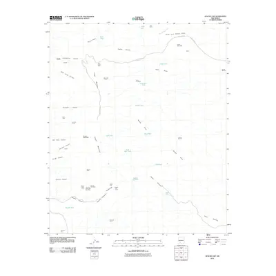 2010 Apache Gap2010 Print · USGSThe Caballo Mountains in Sierra County are shown here during a period of sustained mining activity and ranching. Genealogists and historians can trace the locations of the Lyons Homestead, the Sierrite Mine, and the mineral claims at Apache Chief Group.
 - 2010 Map of Clark Spring Canyon, 2010 Print
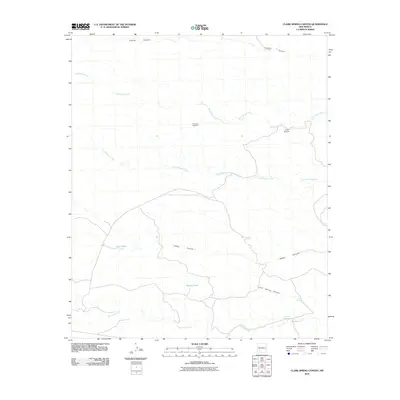 2010 Clark Spring Canyon2010 Print · USGSSierra County ranching country is documented here in the early twenty-first century, showing a remote landscape of deep canyons and essential water sources. Trace the locations of family-named landmarks like Apodaca Windmill and natural oases like Shorthorn Springs.
 - 2010 Map of Elephant Butte, 2010 Print
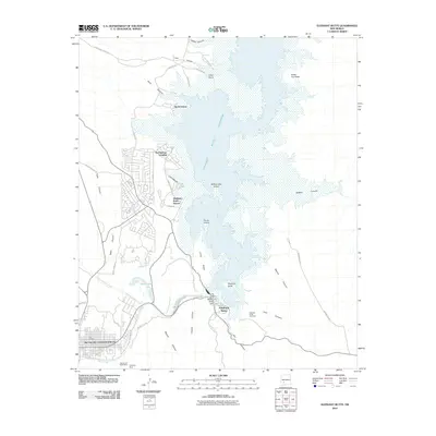 2010 Elephant Butte2010 Print · USGSTruth or Consequences and the shores of the nearby reservoir are captured here during a period of steady lakeside growth. Genealogists and local historians can locate the Elephant Butte Cemetery, the Diamond A Ranch Mine, and early developments at Hot Springs Landing.
 - 2010 Map of Jug Canyon, 2010 Print
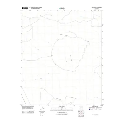 2010 Jug Canyon2010 Print · USGSSierra County in the early 2010s shows a landscape of ranching and resource extraction defined by deep canyons and critical water points. Researchers can trace the layout of the Duncan Ranch or locate regional industrial sites like the Nunn Lease and Nunn S State Lease.
 - 2010 Map of Upham, 2010 Print
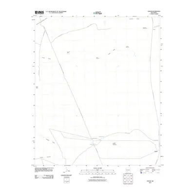 2010 Upham2010 Print · USGSSierra County ranching and water management are documented here in the early twenty-first century. Researchers can trace land use through named features like the Lyons-Slater Ranch, Yoast Windmill, and the Jornada Number Three Dam.
 - 2010 Map of Alivio, 2010 Print
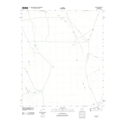 2010 Alivio2010 Print · USGSDona Ana County at the start of the 2010s reveals a high-desert landscape shaped by ranching infrastructure and drainage basins. Researchers can trace the water network from Barbee Draw to specific catchments like Upside Down Tank and landmarks like Railroad Windmill.
 - 2010 Map of McClede Mountain, 2010 Print
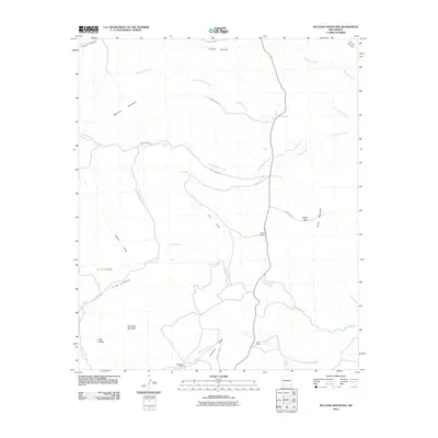 2010 McClede Mountain2010 Print · USGSSierra County's high-desert ranching country is captured here during the early twenty-first century. Researchers can trace land use and water rights through the locations of the E Nunn Ranch, McClede Spring, and the prominent O Bar O Peak.
 - 2010 Map of Chise, 2010 Print
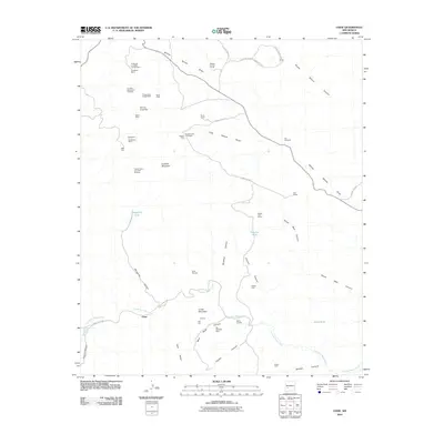 2010 Chise2010 Print · USGSSierra County's mining and ranching legacies are preserved in this detailed study of the area surrounding Chise. Researchers can locate old claims like the Confidence Mines, historic ranching outposts at L C Ranch, and landmarks like Mill Hill and Hidden Cave.
 - 2010 Map of Bell Mountain, 2010 Print
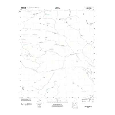 2010 Bell Mountain2010 Print · USGSSierra County ranch lands and high mesas are captured here at the start of the decade, showing the remote infrastructure of the New Mexico interior. Researchers can trace historic family locations like Francisco Rascon Place and the Ladder Ranch alongside the Salado Mountains Fluorspar Deposit.
 - 2010 Map of Tucson Spring, 2010 Print
 2010 Tucson Spring2010 Print · USGSSocorro County's high desert landscape is shown here at the start of the 21st century, dominated by ranching and mineral interests. Researchers can locate the Victoria Land and Cattle Co Mine and the Casa Grande Ranch near Tucson Spring.
 - 2010 Map of Shannon Canyon NW, 2010 Print
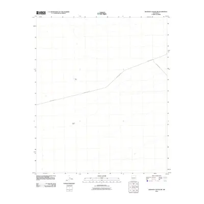 2010 Shannon Canyon NW2010 Print · USGSSierra County's high desert landscape is documented here in the early 21st century, showing the isolation of remote ranching outposts. Researchers can trace the legacy of local land use at Cain Ranch, Sanchez Ranch, and along the path of County Road A-26.
 - 2010 Map of Fairview Well, 2010 Print
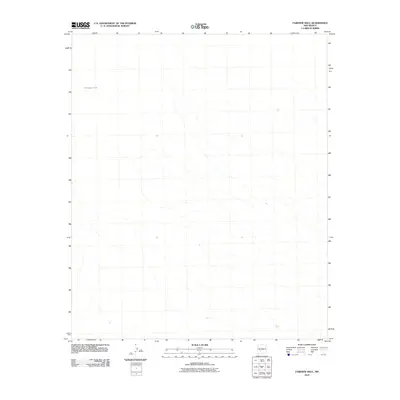 2010 Fairview Well2010 Print · USGSThis high-desert region of Sierra County appears at the close of the first decade of the new millennium, showing a landscape defined by its hydrology. Researchers can trace the drainage networks and find essential water markers like Antelope Tank in this arid territory.
 - 2010 Map of Fifteenmile Lake, 2010 Print
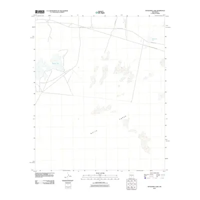 2010 Fifteenmile Lake2010 Print · USGSThe Tularosa Basin in the early twenty-first century shows a landscape where military activity and desert geology overlap. Researchers can trace restricted access roads like WSMR P Route 6 and unique hydrology such as Big Salt Lake and Fifteenmile Lake.
 - 2010 Map of Lumley Lake NE, 2010 Print
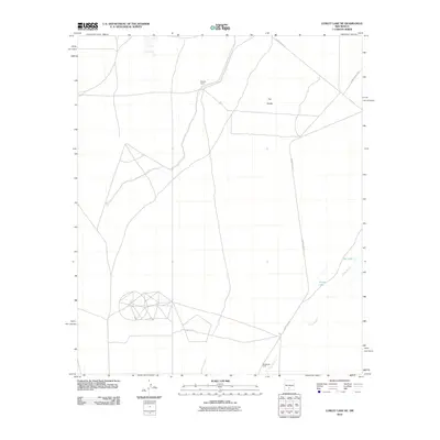 2010 Lumley Lake NE2010 Print · USGSThe Tularosa Basin desert appears in the early twenty-first century as a landscape of military range roads and isolated outposts. Researchers can trace the path of Three Rivers past MacDonald Camp and the vast terrain of The Sands.
 - 2010 Map of Dugout Canyon, 2010 Print
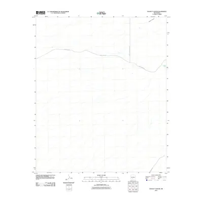 2010 Dugout Canyon2010 Print · USGSSierra County in the early twenty-first century reveals a landscape defined by ranching infrastructure and military boundaries. Researchers can trace the path of County Road A-23 toward the White Sands Missile Range and locate the remote Crispy Tank.
Showing maps 1-25 of 435
Top cities of Sierra County
Frequently asked questions
- What are the different types of historical maps available for Sierra County?
- What is the oldest map of Sierra County?
- Where can I purchase historical maps of Sierra County for my home or office?
- Where can I download high-res historical maps of Sierra County?
- Are there historical topographic maps available for Sierra County?
- Is there historical aerial imagery available for Sierra County?
- Where are historical maps of Sierra County sourced from?