Old Maps of Saranac, New York for Metal Detecting
Plan your next treasure hunt with 45 historic maps of Saranac. Find old homesites, ghost towns, trails, and gathering spots that may be lost to time — perfect for identifying promising metal detecting locations.
- Locate forgotten sites: Uncover places like long-lost settlements, abandoned rail lines, or gathering spots.
- Plan better hunts: Use map overlays combined with LiDAR or satellite views to narrow in on historically rich areas.
- Made for detectorists: Thousands of hobbyists use these maps to discover relics, coins, and hidden history.
Use these historic maps to boost your research and find new opportunities beneath the surface of Saranac.
Saranac, NY maps
(45)- 1911 Map of Lyon Mountain, 1956 Print
 1911 Lyon Mountain1956 Print · USGSThe northern Adirondacks at the peak of the iron era reveal a landscape of mining hamlets and mountain kilns. Genealogists can trace family footprints in Loudell PO, Standish, and Sugarbush, or follow the industrial path of the Delaware and Hudson RR.2 unique versions available
 - 1913 Map of Dannemora
 1913 Dannemora1913 Print · USGSClinton County's industrial and correctional history is frozen in time at the edge of the Adirondacks before the First World War. Trace the Chateaugay Branch rail line to the State Penitentiary or locate old schoolhouses like Grand Hill School.5 unique versions available
 - 1913 Map of Lyon Mountain
 1913 Lyon Mountain1913 Print · USGSThe northern Adirondacks in the pre-war years were a landscape of mountain hamlets and industrial outposts. Genealogists and historians can trace the foundations of Lyon Mountain, locate the Loudell P.O., and follow the Delaware and Hudson RR through the high country.5 unique versions available
 - 1931 Map of Lyon Mountain
 1931 Lyon Mountain1931 Print · USGSThe northern Adirondack mining and timber lands are shown here in the early 1900s, centered on the heights of Lyon Mountain. Researchers can trace the Chateaugay R.R. as it serves industrial sites like Junction Kilns and the settlement at Standish.
 - 1950 Map of Lake Champlain
 1950 Lake Champlain1950 Print · USGSThe Lake Champlain valley and its surrounding peaks are captured in detail during the late 1940s, showing the vital rail and road connections between New York and Vermont. Researchers can trace the routes of the Central Vermont Railway or locate old industrial centers like Mineville and Witherbee.2 unique versions available
 - 1956 Map of Dannemora, 1957 Print
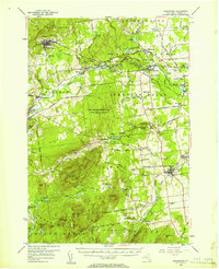 1956 Dannemora1957 Print · USGSClinton County’s landscape in the mid-fifties centers on the institutional history of Dannemora and the timbered slopes of Terry Mountain. Genealogists and historians can trace numerous rural cemeteries like Quaker Cem and locate historic schools such as Beckwith Sch.3 unique versions available
 - 1958 Map of Lake Champlain
 1958 Lake Champlain1958 Print · USGSThe Champlain Valley and surrounding high peaks are captured here in the late fifties, showcasing the cross-border region from the Adirondacks to the Green Mountains. Researchers can trace historic rail routes like the Rutland Railway or locate old valley settlements such as Keeseville and Vergennes.2 unique versions available
 - 1962 Map of Lake Champlain, 1975 Print
 1962 Lake Champlain1975 Print · USGSLake Champlain and the high peaks of the Adirondacks and Green Mountains are captured here during the mid-twentieth century. Researchers can trace the industrial legacy of the Lyon Mountain Mine and the rail corridors of the Central Vermont RR and Delaware & Hudson RR.3 unique versions available
 - 1966 Map of Dannemora, 1968 Print
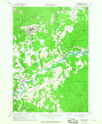 1966 Dannemora1968 Print · USGSClinton County in the 1960s reveals a unique intersection of state institutional land and river-valley industry. Genealogists and historians can trace the Clinton State Prison grounds, family-named roads, and settlements like Picketts Corners and Cadyville.2 unique versions available
 - 1966 Map of Peasleeville, 1968 Print
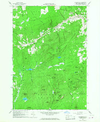 1966 Peasleeville1968 Print · USGSPeasleeville and the surrounding Adirondack foothills are captured in the mid-sixties, showing a landscape of state forests and mountain peaks. Genealogists and hikers can trace old routes like Military Road and locate local landmarks such as Zion Ch and the Peasleeville Cem.2 unique versions available
 - 1968 Map of Redford, 1970 Print
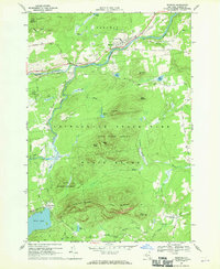 1968 Redford1970 Print · USGSClinton County during the late 1960s shows a landscape of mountain peaks and river valley settlements. Genealogists and historians can trace the streets of Redford, locate the Assumption of Mary Ch, and find outlying hamlets like Swastika and Hawkeye.
 - 1968 Map of Moffitsville, 1970 Print
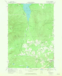 1968 Moffitsville1970 Print · USGSClinton County’s rugged Adirondack landscape is captured here in the late sixties, where the wilderness of the State Forest Preserve meets small rural outposts. Genealogists and hikers can trace old routes like Napper Rd and locate landmarks from Lyon Mountain to the banks of the Saranac River.
 - 1968 Map of Lyon Mountain, 1970 Print
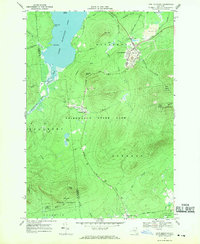 1968 Lyon Mountain1970 Print · USGSAdirondack mining and wilderness intersect in the late sixties as iron works and rail lines define the rugged terrain. Researchers can trace the industrial layout of Lyon Mountain and Standish, from the St Bernards Ch to the sprawling Mine Dumps.
 - 1968 Map of Alder Brook, 1970 Print
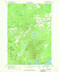 1968 Alder Brook1970 Print · USGSThe Adirondack wilderness of the late sixties is documented here as the Saranac River system winds through the Clinton and Franklin county line. Researchers can locate remote settlements like Goldsmith and Sugarbush or find family names at St Rose Cem.
 - 1986 Map of Lake Champlain North
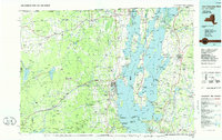 1986 Lake Champlain North1986 Print · USGSThe Lake Champlain borderlands in the mid-1980s show a mix of mountain villages and busy island shorelines. Researchers can trace the Delaware and Hudson RR through Plattsburgh or locate old rural sites like Mooers Forks and St Josephs Cem.2 unique versions available
 - 2010 Map of Alder Brook, 2010 Print
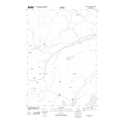 2010 Alder Brook2010 Print · USGSThe Adirondack mountains and the Saranac river system dominate this Clinton County landscape as it appeared in the early twenty-first century. Researchers can trace the legacy of small riverside hamlets like Riverview and Goldsmith or locate family sites near Saint Rose Cemetery.
 - 2010 Map of Peasleeville, 2010 Print
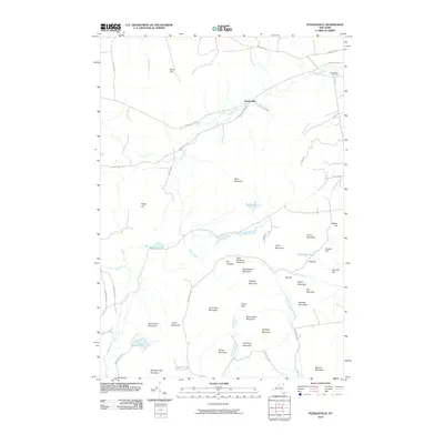 2010 Peasleeville2010 Print · USGSPeasleeville and the surrounding Adirondack highlands are captured here during the first decade of the 21st century. Researchers can trace the rugged family-named terrain of Larry Ryan Mountain and Nancy Ryan Mountain or locate the historic Peasleeville Cemetery.
 - 2010 Map of Redford, 2010 Print
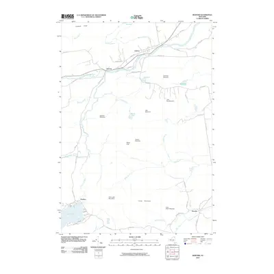 2010 Redford2010 Print · USGSClinton County and the Adirondack interior are documented here during the early twenty-first century. Researchers can trace rural settlement patterns in Redford and Clayburg or locate family landmarks near Silver Lake and Silver Lake Mountains.
 - 2010 Map of Moffitsville, 2010 Print
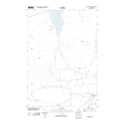 2010 Moffitsville2010 Print · USGSClinton County’s rugged interior is captured here as it appeared in 2010, showing the lakefront settlement of Chazy Lake and the Adirondack Park woods. Researchers can trace the Old Rail Road Bed and family-named roads near Russia and Moffitsville.
 - 2010 Map of Lyon Mountain, 2010 Print
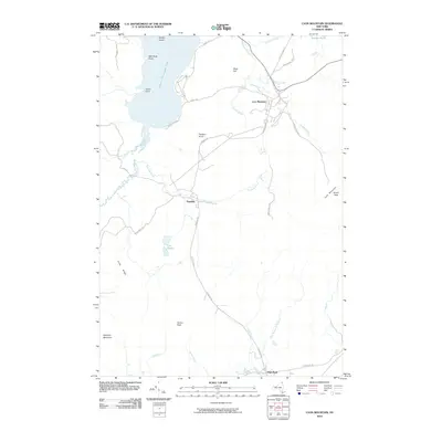 2010 Lyon Mountain2010 Print · USGSThe Adirondack highlands around Clinton County appear in detail during the early twenty-first century, showing the mountain communities and high summits. Genealogists and local historians can trace the roads and landmarks near Lyon Mountain, Standish, and the shores of Upper Chateaugay Lake.
 - 2010 Map of Dannemora, 2010 Print
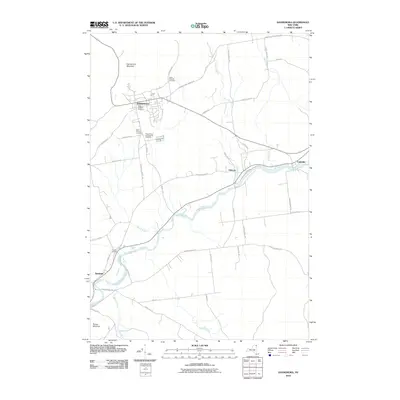 2010 Dannemora2010 Print · USGSThe village of Dannemora and the surrounding Adirondack foothills are shown here in the early twenty-first century. Genealogists and historians can trace institutional land use through the State Prison and Hospital Cemetery or follow the route of the Old Rail Road Bed.
 - 2013 Map of Dannemora, 2013 Print
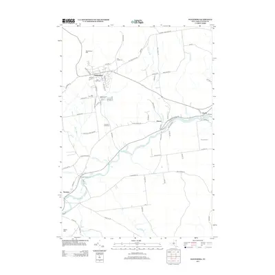 2013 Dannemora2013 Print · USGSClinton County’s rugged institutional and riverfront history is preserved here in the early twenty-first century. Genealogists and local researchers can trace the vicinity of Dannemora through its numerous historic burial sites, including the State Prison and Hospital Cem, and follow the Saranac River through Cadyville.
 - 2013 Map of Redford, 2013 Print
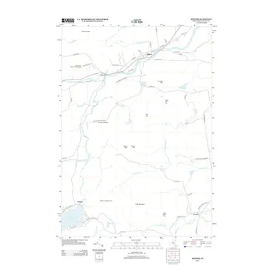 2013 Redford2013 Print · USGSClinton County’s rugged interior is captured here in the early twenty-first century, centered on the river settlements of Redford and Clayburg. Researchers can trace old mountain roads like Guide Board Rd and Swastika Rd leading toward Silver Lake and the Potter Mountains.
 - 2013 Map of Alder Brook, 2013 Print
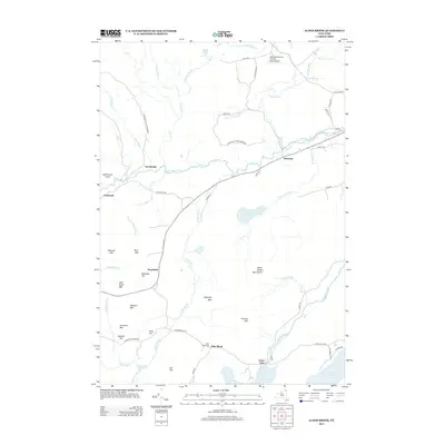 2013 Alder Brook2013 Print · USGSClinton County’s mountain valleys are captured here in the early twenty-first century as the Adirondack landscape transitions from high peaks to river basins. Genealogists and hikers can locate Saint Rose Cem, the hamlet of Union Falls, and the various summits of the Alder Brook Mountains.
 - 2013 Map of Lyon Mountain, 2013 Print
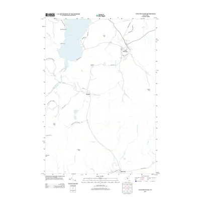 2013 Lyon Mountain2013 Print · USGSThe Adirondack Highlands come into focus in the early twenty-first century, showing the mountain communities and wild parklands of Clinton County. Genealogists and hikers can trace local routes like Standish Rd and locate landmarks from Averill Peak to Upper Chateaugay Lake.
Showing maps 1-25 of 45
Top cities near Saranac
- Plattsburgh historical maps
- Peru historical maps
- Beekmantown historical maps
- Schuyler Falls historical maps
- Dannemora historical maps
- Dannemora historical maps
See more
Top neighborhoods of Saranac
- Elsinore historical maps
- High Bank historical maps
- Standish historical maps
- Clayburg historical maps
- Moffitsville historical maps
- Russia historical maps
See more
Frequently asked questions
- What are the different types of historical maps available for Saranac?
- What is the oldest map of Saranac?
- Where can I purchase historical maps of Saranac for my home or office?
- Where can I download high-res historical maps of Saranac?
- Are there historical topographic maps available for Saranac?
- Is there historical aerial imagery available for Saranac?
- Where are historical maps of Saranac sourced from?