2010s Maps of Saranac, New York
Explore 24 historic maps of Saranac from the 2010s. These maps offer a rare glimpse into what life looked like during the 2010s — showing old roads, neighborhoods, homes, and landmarks that have changed or disappeared over time.
Whether you're researching your family's past, planning a metal detecting trip, or studying how Saranac's landscape evolved across the 2010s, these high-resolution maps are a powerful tool for exploring the history of this region.
- Focus on a specific era: All maps on this page are from the 2010s, giving you a focused view of this time period.
- See what’s changed: Compare century-old streets, trails, and buildings to today's modern landscape using overlays and satellite layers.
- Research with precision: Use these maps for genealogy, historical research, land use analysis, or educational projects.
- View, download, or print: Maps are fully viewable online in high resolution, and can be downloaded or printed for your own records.
Start exploring Saranac's history through authentic maps from the 2010s. This is your window into the past.
Saranac, NY maps
(24)- 2010 Map of Alder Brook, 2010 Print
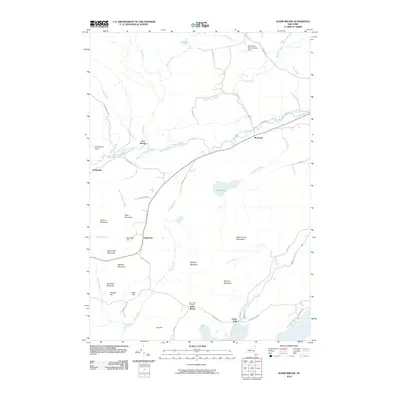 2010 Alder Brook2010 Print · USGSThe Adirondack mountains and the Saranac river system dominate this Clinton County landscape as it appeared in the early twenty-first century. Researchers can trace the legacy of small riverside hamlets like Riverview and Goldsmith or locate family sites near Saint Rose Cemetery.
 - 2010 Map of Peasleeville, 2010 Print
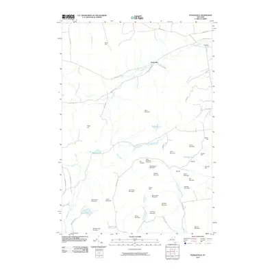 2010 Peasleeville2010 Print · USGSPeasleeville and the surrounding Adirondack highlands are captured here during the first decade of the 21st century. Researchers can trace the rugged family-named terrain of Larry Ryan Mountain and Nancy Ryan Mountain or locate the historic Peasleeville Cemetery.
 - 2010 Map of Redford, 2010 Print
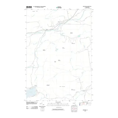 2010 Redford2010 Print · USGSClinton County and the Adirondack interior are documented here during the early twenty-first century. Researchers can trace rural settlement patterns in Redford and Clayburg or locate family landmarks near Silver Lake and Silver Lake Mountains.
 - 2010 Map of Moffitsville, 2010 Print
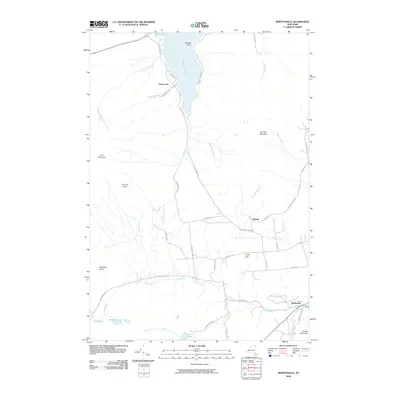 2010 Moffitsville2010 Print · USGSClinton County’s rugged interior is captured here as it appeared in 2010, showing the lakefront settlement of Chazy Lake and the Adirondack Park woods. Researchers can trace the Old Rail Road Bed and family-named roads near Russia and Moffitsville.
 - 2010 Map of Lyon Mountain, 2010 Print
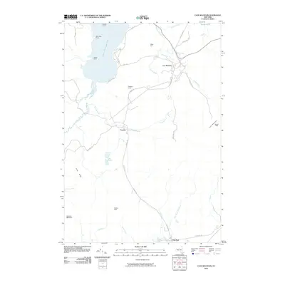 2010 Lyon Mountain2010 Print · USGSThe Adirondack highlands around Clinton County appear in detail during the early twenty-first century, showing the mountain communities and high summits. Genealogists and local historians can trace the roads and landmarks near Lyon Mountain, Standish, and the shores of Upper Chateaugay Lake.
 - 2010 Map of Dannemora, 2010 Print
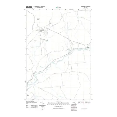 2010 Dannemora2010 Print · USGSThe village of Dannemora and the surrounding Adirondack foothills are shown here in the early twenty-first century. Genealogists and historians can trace institutional land use through the State Prison and Hospital Cemetery or follow the route of the Old Rail Road Bed.
 - 2013 Map of Dannemora, 2013 Print
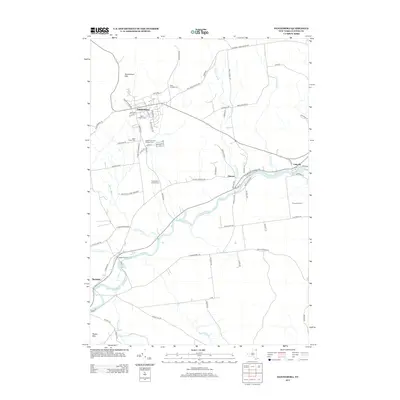 2013 Dannemora2013 Print · USGSClinton County’s rugged institutional and riverfront history is preserved here in the early twenty-first century. Genealogists and local researchers can trace the vicinity of Dannemora through its numerous historic burial sites, including the State Prison and Hospital Cem, and follow the Saranac River through Cadyville.
 - 2013 Map of Redford, 2013 Print
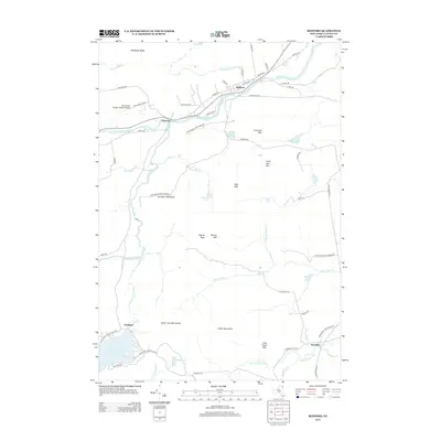 2013 Redford2013 Print · USGSClinton County’s rugged interior is captured here in the early twenty-first century, centered on the river settlements of Redford and Clayburg. Researchers can trace old mountain roads like Guide Board Rd and Swastika Rd leading toward Silver Lake and the Potter Mountains.
 - 2013 Map of Alder Brook, 2013 Print
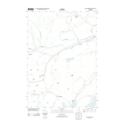 2013 Alder Brook2013 Print · USGSClinton County’s mountain valleys are captured here in the early twenty-first century as the Adirondack landscape transitions from high peaks to river basins. Genealogists and hikers can locate Saint Rose Cem, the hamlet of Union Falls, and the various summits of the Alder Brook Mountains.
 - 2013 Map of Lyon Mountain, 2013 Print
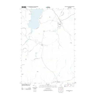 2013 Lyon Mountain2013 Print · USGSThe Adirondack Highlands come into focus in the early twenty-first century, showing the mountain communities and wild parklands of Clinton County. Genealogists and hikers can trace local routes like Standish Rd and locate landmarks from Averill Peak to Upper Chateaugay Lake.
 - 2013 Map of Moffitsville, 2013 Print
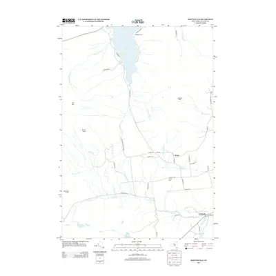 2013 Moffitsville2013 Print · USGSClinton County’s high country near the dawn of the twenty-first century is defined by its mountain peaks and the waters of the Adirondack Preserve. Researchers can trace rural lineages through local landmarks like Russia, Moffitsville, and the shores of Chazy Lake.
 - 2013 Map of Peasleeville, 2013 Print
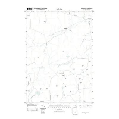 2013 Peasleeville2013 Print · USGSClinton County’s Adirondack foothills are captured here in the early 2000s, where the Salmon River winds through high-country summits. Genealogists and hikers can locate family landmarks like Larry Ryan Mtn or trace the roads surrounding Peasleeville and its namesake Peasleeville Cem.
 - 2016 Map of Moffitsville, 2016 Print
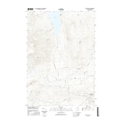 2016 Moffitsville2016 Print · USGSClinton County’s interior terrain and the rural settlements of the Adirondacks are captured here in the mid-2010s. Researchers can trace the path of the Old Railroad Bed and locate family landmarks near Russia, Moffitsville, and Chazy Lake.
 - 2016 Map of Dannemora, 2016 Print
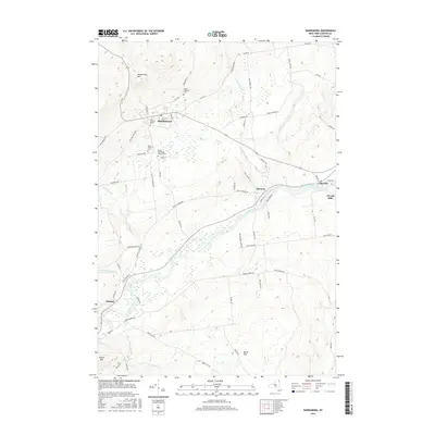 2016 Dannemora2016 Print · USGSClinton County’s institutional and river-based history is well-preserved in this modern survey of the Adirondack foothills. Genealogists and historians can locate the State Prison Cem, trace the Saranac River through Cadyville, and follow the path of the Old Rail Road Bed.
 - 2016 Map of Alder Brook, 2016 Print
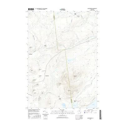 2016 Alder Brook2016 Print · USGSThe northern Adirondacks are captured here in the mid-2010s, where the Saranac River shapes the development of the Union Falls area. Researchers can trace local lineage at Saint Rose Cem or locate the sites of Sugarbush, Two Brooks, and Goldsmith.
 - 2016 Map of Peasleeville, 2016 Print
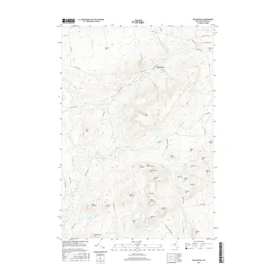 2016 Peasleeville2016 Print · USGSIn the northern Adirondack Park during the twenty-tens, this map shows a landscape of named summits and mountain streams. Genealogists and hikers can trace family-named landmarks like Larry Ryan Mtn or find the Peasleeville Cem along the Salmon River.
 - 2016 Map of Redford, 2016 Print
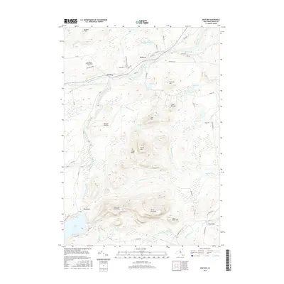 2016 Redford2016 Print · USGSSaranac and Clinton County are shown here in the 2010s, where the northern Adirondack wilderness meets historic river settlements. You can trace the rural road networks connecting Redford and Clayburg or locate mountain landmarks like Signal Peak and the Silver Lake Mountains.
 - 2016 Map of Lyon Mountain, 2016 Print
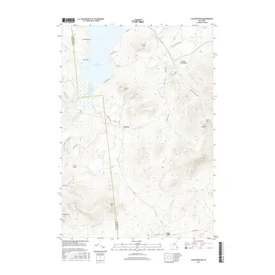 2016 Lyon Mountain2016 Print · USGSClinton County’s high peaks and lakeside points are documented here in the mid-2010s, showcasing the area's wilderness and mountain settlements. Genealogists and hikers can trace the roads of Standish or locate family landmarks near Parsons Knob and Upper Chateaugay Lake.
 - 2019 Map of Peasleeville, 2019 Print
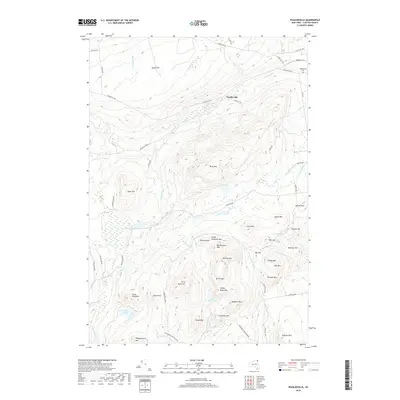 2019 Peasleeville2019 Print · USGSThe northern Adirondacks are captured here in a period of quiet preservation within Clinton County. Genealogists and hikers can trace family-named landmarks like Larry Ryan Mtn, visit the Peasleeville Cem, or follow the banks of the Salmon River.
 - 2019 Map of Lyon Mountain, 2019 Print
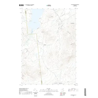 2019 Lyon Mountain2019 Print · USGSThe Adirondack high country near the Clinton and Franklin County line comes into focus in this recent survey. Researchers can trace the rugged topography from Lyon Mountain and Averill Peak down to the water at Upper Chateaugay Lake and Twin Ponds.
 - 2019 Map of Dannemora, 2019 Print
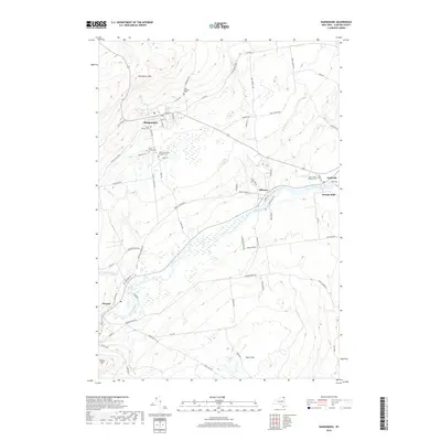 2019 Dannemora2019 Print · USGSClinton County’s institutional and riverfront history is preserved here as it appeared in the late 2010s. Researchers can locate specialized sites like the State Prison Cem and trace the paths of the Saranac River through Elsinore and Woods Mills.
 - 2019 Map of Redford, 2019 Print
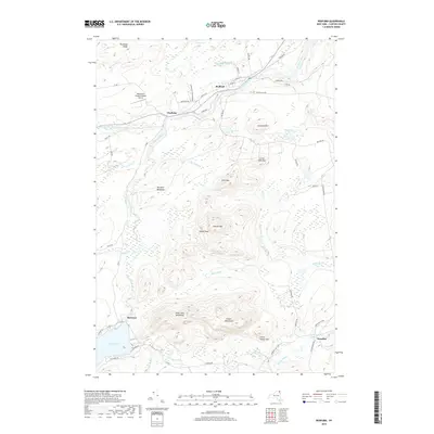 2019 Redford2019 Print · USGSSaranac and Clinton County are shown in this contemporary study of the Adirondack wilderness and its historic river hamlets. Researchers can locate remote settlements like Swastika and Hawkeye, or trace the mountain terrain around Signal Peak and Silver Lake.
 - 2019 Map of Moffitsville, 2019 Print
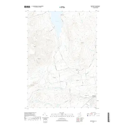 2019 Moffitsville2019 Print · USGSClinton County in the late twenty-teens remains a landscape of high peaks and historic rail corridors on the edge of the wilderness. Genealogists and historians can trace the roads around Russia and Moffitsville or locate landmarks like Chazy Lake and the Old Rail Road Bed.
 - 2019 Map of Alder Brook, 2019 Print
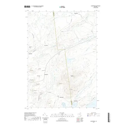 2019 Alder Brook2019 Print · USGSThe Adirondack highlands at the Clinton and Franklin county line are detailed here in the modern era. Genealogists and historians can trace rural sites like Saint Rose Cem near Alder Brook and the waterways of the North Branch Saranac River.
End of results
Showing maps 1-24 of 24
Top cities near Saranac
- Plattsburgh historical maps
- Peru historical maps
- Beekmantown historical maps
- Schuyler Falls historical maps
- Dannemora historical maps
- Dannemora historical maps
See more
Top neighborhoods of Saranac
- Elsinore historical maps
- High Bank historical maps
- Standish historical maps
- Clayburg historical maps
- Moffitsville historical maps
- Russia historical maps
See more
Frequently asked questions
- What are the different types of historical maps available for Saranac?
- What is the oldest map of Saranac?
- Where can I purchase historical maps of Saranac for my home or office?
- Where can I download high-res historical maps of Saranac?
- Are there historical topographic maps available for Saranac?
- Is there historical aerial imagery available for Saranac?
- Where are historical maps of Saranac sourced from?