2020s Maps of Dunn County, North Dakota
Explore 116 historic maps of Dunn County from the 2020s. These maps offer a rare glimpse into what life looked like during the 2020s — showing old roads, neighborhoods, homes, and landmarks that have changed or disappeared over time.
Whether you're researching your family's past, planning a metal detecting trip, or studying how Dunn County's landscape evolved across the 2020s, these high-resolution maps are a powerful tool for exploring the history of this region.
- Focus on a specific era: All maps on this page are from the 2020s, giving you a focused view of this time period.
- See what’s changed: Compare century-old streets, trails, and buildings to today's modern landscape using overlays and satellite layers.
- Research with precision: Use these maps for genealogy, historical research, land use analysis, or educational projects.
- View, download, or print: Maps are fully viewable online in high resolution, and can be downloaded or printed for your own records.
Start exploring Dunn County's history through authentic maps from the 2020s. This is your window into the past.
Dunn County, ND maps
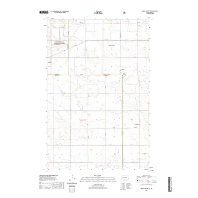
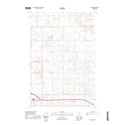
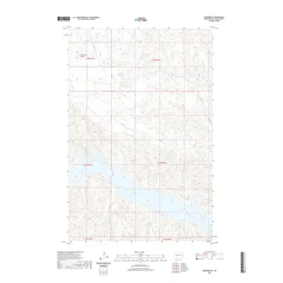
(116)- 2020 Map of Hungry Man Butte, 2020 Print
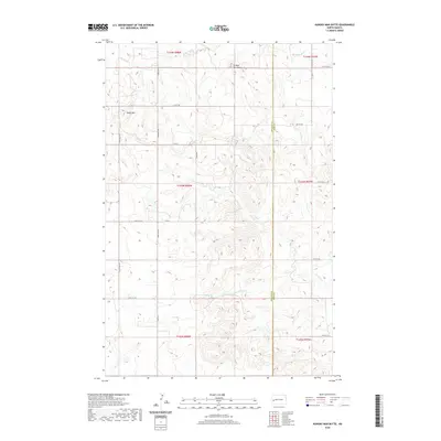 2020 Hungry Man Butte2020 Print · USGSCovers Dunn County, including Billings County, United States, and other nearby areas
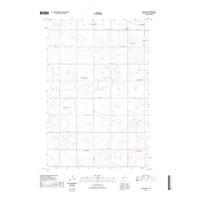
 - 2020 Map of Petes Creek, 2020 Print
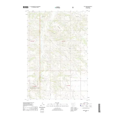 2020 Petes Creek2020 Print · USGSCovers Dunn County, including McKenzie County, United States, and other nearby areas
 - 2020 Map of New Hradec South, 2020 Print
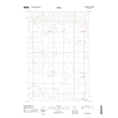
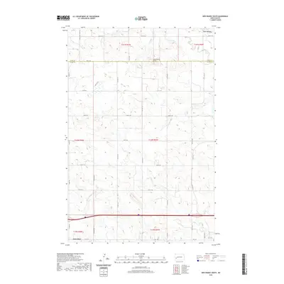 2020 New Hradec South2020 Print · USGSCovers Dunn County, including South Heart, New Hradec, and other nearby areas
 - 2020 Map of Lone Butte NE, 2020 Print
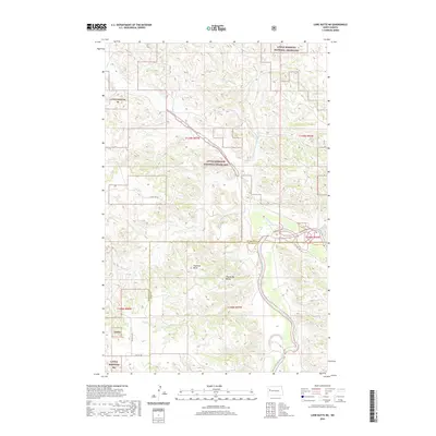 2020 Lone Butte NE2020 Print · USGSCovers Dunn County, including McKenzie County, United States, and other nearby areas
 - 2020 Map of Fairfield SE, 2020 Print
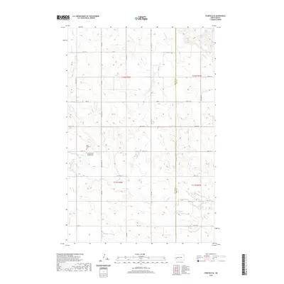 2020 Fairfield SE2020 Print · USGSCovers Dunn County, including Billings County, United States, and other nearby areas
 - 2020 Map of Boyle, 2020 Print
 2020 Boyle2020 Print · USGSCovers Dunn County, including Stark County, United States, and other nearby areas
 - 2020 Map of Dickinson North, 2020 Print
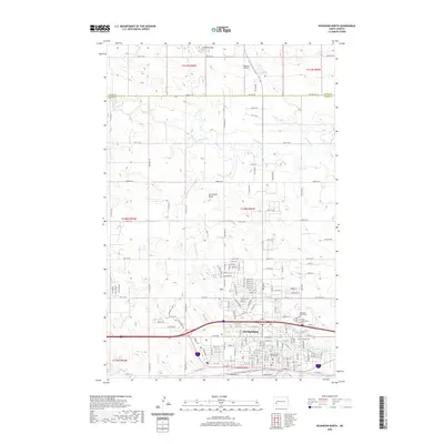 2020 Dickinson North2020 Print · USGSCovers Dunn County, including Dickinson, Stark County, and other nearby areas
 - 2020 Map of Grassy Butte SE, 2020 Print
 2020 Grassy Butte SE2020 Print · USGSCovers Dunn County, including McKenzie County, Billings County, and other nearby areas
 - 2020 Map of Davis Buttes, 2020 Print
 2020 Davis Buttes2020 Print · USGSCovers Dunn County, including Dickinson, Stark County, and other nearby areas
 - 2020 Map of Lone Butte SE, 2020 Print
 2020 Lone Butte SE2020 Print · USGSCovers Dunn County, including McKenzie County, United States, and other nearby areas
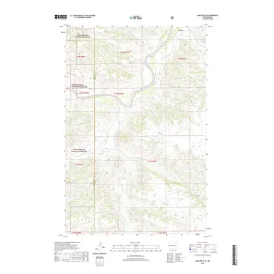
 - 2020 Map of Belfield NE, 2020 Print
 2020 Belfield NE2020 Print · USGSCovers Dunn County, including Zenith, Stark County, and other nearby areas
 - 2020 Map of Ziner Butte, 2020 Print
 2020 Ziner Butte2020 Print · USGSCovers Dunn County, including United States, North Dakota, and other nearby areas
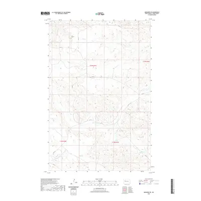
 - 2020 Map of Mandaree SE, 2020 Print
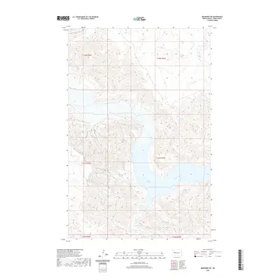
 2020 Mandaree SE2020 Print · USGSCovers Dunn County, including Mandaree, United States, and other nearby areas
 - 2020 Map of Lake Ilo, 2020 Print
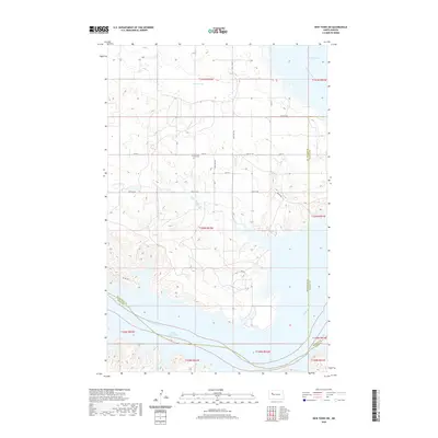
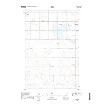 2020 Lake Ilo2020 Print · USGSCovers Dunn County, including Killdeer, Dunn Center, and other nearby areas
 - 2020 Map of Mandaree SW, 2020 Print
 2020 Mandaree SW2020 Print · USGSCovers Dunn County, including Mandaree, United States, and other nearby areas
 - 2020 Map of Sanish SW, 2020 Print
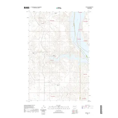 2020 Sanish SW2020 Print · USGSCovers Dunn County, including New Town, Four Bears Segment, and other nearby areas
 - 2020 Map of Werner, 2020 Print
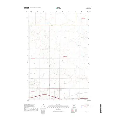
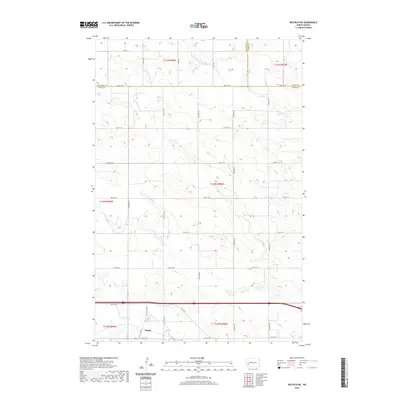
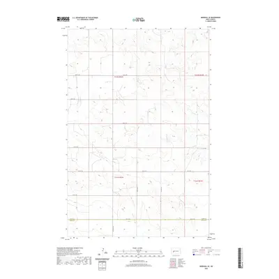
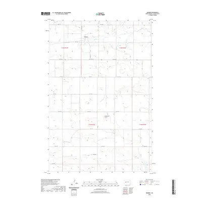 2020 Werner2020 Print · USGSCovers Dunn County, including Werner, United States, and other nearby areas
 - 2020 Map of Halliday, 2020 Print
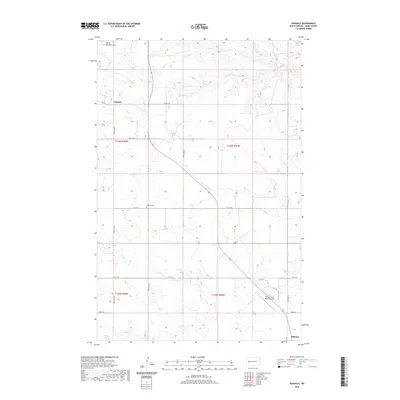
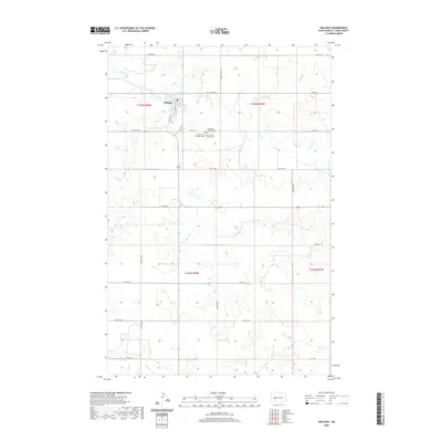 2020 Halliday2020 Print · USGSCovers Dunn County, including Halliday, United States, and other nearby areas
 - 2020 Map of Fayette, 2020 Print
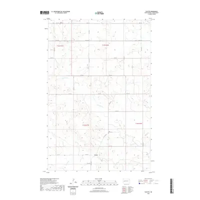 2020 Fayette2020 Print · USGSCovers Dunn County, including Fayette, United States, and other nearby areas
 - 2020 Map of New Town SW, 2020 Print
 2020 New Town SW2020 Print · USGSCovers Dunn County, including New Town, Parshall, and other nearby areas
 - 2020 Map of Killdeer Mountains, 2020 Print
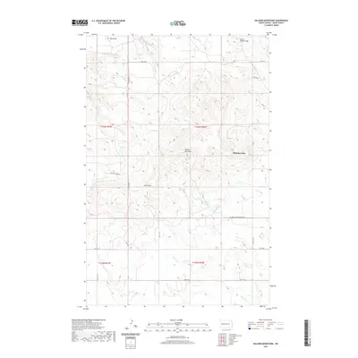 2020 Killdeer Mountains2020 Print · USGSCovers Dunn County, including Medicine Hole, United States, and other nearby areas
 - 2020 Map of Marshall SE, 2020 Print
 2020 Marshall SE2020 Print · USGSCovers Dunn County, including Stark County, United States, and other nearby areas
 - 2020 Map of New Hradec North, 2020 Print
 2020 New Hradec North2020 Print · USGSCovers Dunn County, including United States, North Dakota, and other nearby areas
 - 2020 Map of Oakdale, 2020 Print
 2020 Oakdale2020 Print · USGSCovers Dunn County, including Killdeer, Oakdale, and other nearby areas
 - 2020 Map of Mandaree NE, 2020 Print
 2020 Mandaree NE2020 Print · USGSCovers Dunn County, including Mandaree, United States, and other nearby areas
Showing maps 1-25 of 116
Top cities of Dunn County
- Killdeer historical maps
- Halliday historical maps
- Dodge historical maps
- Dunn Center historical maps
- Manning historical maps
Frequently asked questions
- What are the different types of historical maps available for Dunn County?
- What is the oldest map of Dunn County?
- Where can I purchase historical maps of Dunn County for my home or office?
- Where can I download high-res historical maps of Dunn County?
- Are there historical topographic maps available for Dunn County?
- Is there historical aerial imagery available for Dunn County?
- Where are historical maps of Dunn County sourced from?