2000s (21st Century) Maps of Dunn County, North Dakota
Explore 284 historic maps of Dunn County from the 2000s (21st Century). These maps offer a rare glimpse into what life looked like during the 2000s — showing old roads, neighborhoods, homes, and landmarks that have changed or disappeared over time.
Whether you're researching your family's past, planning a metal detecting trip, or studying how Dunn County's landscape evolved across the 2000s, these high-resolution maps are a powerful tool for exploring the history of this region.
- Focus on a specific era: All maps on this page are from the 2000s, giving you a focused view of this time period.
- See what’s changed: Compare century-old streets, trails, and buildings to today's modern landscape using overlays and satellite layers.
- Research with precision: Use these maps for genealogy, historical research, land use analysis, or educational projects.
- View, download, or print: Maps are fully viewable online in high resolution, and can be downloaded or printed for your own records.
Start exploring Dunn County's history through authentic maps from the 2000s. This is your window into the past.
Dunn County, ND maps
(284)- 2011 Map of Belfield NE, 2011 Print
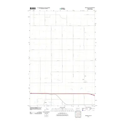 2011 Belfield NE2011 Print · USGSWestern Stark County is captured here in the early 2000s, showcasing the high plains and river valleys of the North Dakota prairie. Genealogists and historians can trace the settlement at Zenith or locate specific industrial sites like the Karsky Mine and Walters Mine.
 - 2011 Map of Davis Buttes, 2011 Print
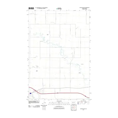 2011 Davis Buttes2011 Print · USGSThe Stark County plains north of Dickinson are captured here in the early twenty-first century, showing the intersection of ranch land and industrial growth. Genealogists and historians can trace family land between Simon Butte and the Green River.
 - 2011 Map of Boyle, 2011 Print
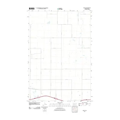 2011 Boyle2011 Print · USGSStark County's agricultural grid and the meandering Green River define this North Dakota landscape in the early twenty-first century. Researchers can trace the layout of rural road networks like 28 R St SW and the southern settlement area of Boyle.
 - 2011 Map of New Hradec South, 2011 Print
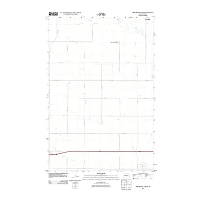 2011 New Hradec South2011 Print · USGSStark County's agricultural landscape is documented here in the years following the turn of the millennium. Researchers can trace the drainage of the Green River and Duck Creek or locate landmarks like Dutch Henry Butte and the settlement of New Hradec.
 - 2011 Map of Dickinson North, 2011 Print
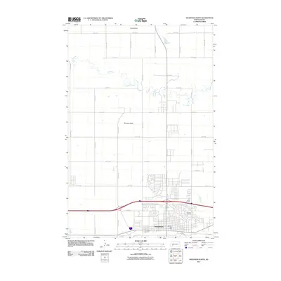 2011 Dickinson North2011 Print · USGSNorth Dakota's West River country comes into focus in this 2011 survey of Dickinson and its northern outskirts. Researchers can trace the meandering Green River and locate family landmarks like Saint Patricks Cemetery and Seventeen Butte.
 - 2011 Map of Petes Creek, 2011 Print
 2011 Petes Creek2011 Print · USGSMcKenzie County was a center of energy development in the early 2010s, defined by its high divides and industrial footprint. Trace the expansion of the Little Knife Oil Field or follow the paths of Charlie Bob Creek and Petes Creek.
 - 2011 Map of Hungry Man Butte, 2011 Print
 2011 Hungry Man Butte2011 Print · USGSDunn County ranch lands and prairie drainages are captured here during the early 2000s. Genealogists and local historians can trace the grid of section-line roads past Hungry Man Butte, the Chalupnik Dam, and the waters of Crooked Creek.
 - 2011 Map of Grassy Butte SE, 2011 Print
 2011 Grassy Butte SE2011 Print · USGSMcKenzie County was a landscape of structured ranching and deep heritage in the early twenty-first century. Genealogists and local historians can locate the Russian Cemetery and trace the paths of the Little Knife River and the Knife River.
 - 2011 Map of Fairfield SE, 2011 Print
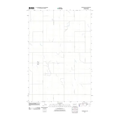 2011 Fairfield SE2011 Print · USGSThe rural plains of Dunn County are captured here in the early twenty-first century, showing a landscape defined by its waterways and local heritage. Genealogists can locate Saint Demetrius Cemetery and Saints Peter and Paul Cemetery near the banks of the Green River.
 - 2011 Map of Lone Butte NE, 2011 Print
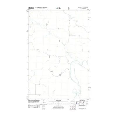 2011 Lone Butte NE2011 Print · USGSMcKenzie County's ranching country and the breaks of the Missouri are documented here in the early twenty-first century. Genealogists and historians can trace family holdings like the Johnson Ranch and Olson Ranch near the winding Little Missouri River.
 - 2011 Map of Lone Butte SE, 2011 Print
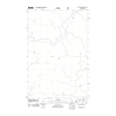 2011 Lone Butte SE2011 Print · USGSMcKenzie County ranchlands and energy resources are on full display in this early 21st-century survey. Researchers can locate established family holdings like Monroe Ranch and Tysver Ranch alongside the footprint of the Lone Butte Oil Field.
 - 2011 Map of Hirschville SW, 2011 Print
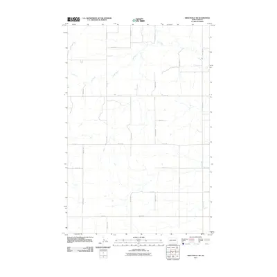 2011 Hirschville SW2011 Print · USGSDunn County at the start of the twenty-first century reveals a highly organized prairie landscape defined by its section-line roads. Genealogists and historians can trace property boundaries along 106th Ave SW or follow the path of Deep Creek across the northern range.
 - 2011 Map of Dunn Center NW, 2011 Print
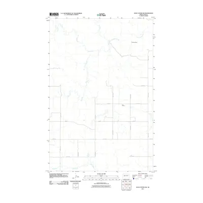 2011 Dunn Center NW2011 Print · USGSDunn County ranching country is mapped here during the early twenty-first century, showing the intersection of a precise road grid and winding prairie coulees. Researchers can locate Peace Cemetery or trace the drainage of Chimney Butte Creek and Jim Creek near Chimney Butte.
 - 2011 Map of Marshall SW, 2011 Print
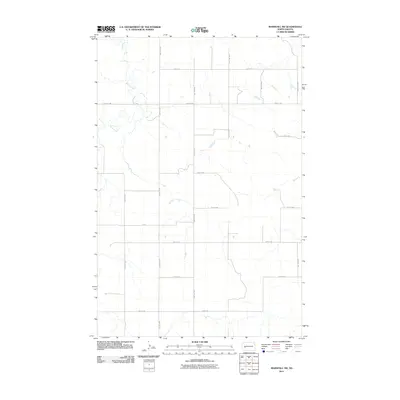 2011 Marshall SW2011 Print · USGSStark County's agricultural grid is on full display in this early twenty-first-century survey of the North Dakota prairie. Local researchers can trace the course of Deep Creek as it winds between section-line roads such as 93rd Ave SW and 22nd St SW.
 - 2011 Map of Saddle Butte SW, 2011 Print
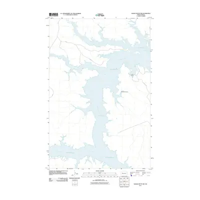 2011 Saddle Butte SW2011 Print · USGSThe Missouri River breaks of western North Dakota are shown here in the early twenty-first century as the reservoir waters have reshaped the valley. Trace the rugged shoreline of Lake Sakakawea and find local landmarks like Ash Coulee and Mossett Rd.
 - 2011 Map of Marshall SE, 2011 Print
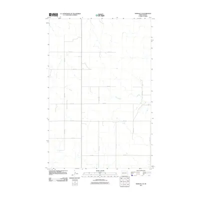 2011 Marshall SE2011 Print · USGSStark County at the start of the decade shows a landscape of enduring rural order and section-line roads. Genealogists and local historians can trace the exact modern alignments of property access routes like 88th Ave SW, 25th St SW, and 28 R St SW.
 - 2011 Map of Manning NW, 2011 Print
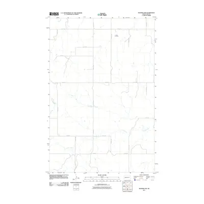 2011 Manning NW2011 Print · USGSDunn County at the start of the decade shows a quiet landscape of agricultural section lines and winding prairie waterways. Researchers can trace the path of the Knife River or locate local landmarks like the Stroh Fish Dam and Crooked Creek.
 - 2011 Map of Dodge, 2011 Print
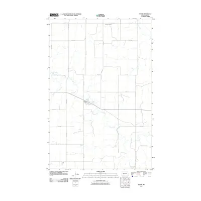 2011 Dodge2011 Print · USGSDodge and the surrounding Dunn County prairie are shown here during the early twenty-first century as a landscape of rural endurance. Genealogists and local historians can locate Saint Pauls Cemetery, Loring Cemetery, and the quiet meanders of Spring Creek.
 - 2011 Map of Willow Creek West, 2011 Print
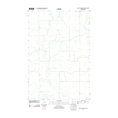 2011 Willow Creek West2011 Print · USGSStark County's prairie landscape is mapped here in the early twenty-first century, showing the intersection of vital watercourses and rural section-line roads. Trace the winding paths of the Knife River, Branch Knife River, and the eastern drainage of Willow Creek.
 - 2011 Map of Mandaree NE, 2011 Print
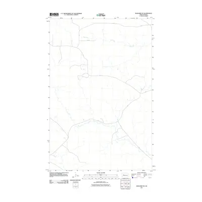 2011 Mandaree NE2011 Print · USGSThe high plains northeast of Mandaree come into focus in the early 21st century, showing a landscape shaped by rural infrastructure and natural drainage. Researchers can trace the path of Skunk Creek or follow the network of BIA 12 and BIA 14.
 - 2011 Map of Killdeer Mountains, 2011 Print
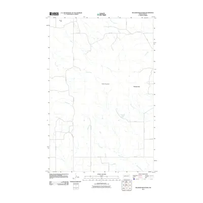 2011 Killdeer Mountains2011 Print · USGSDunn County at the start of the decade reveals a landscape where the Killdeer Mountains meet the high plains. Researchers can trace the drainages of Spring Creek and locate landmarks like Medicine Hole and Skunk Hill.
 - 2011 Map of Halliday NE, 2011 Print
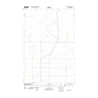 2011 Halliday NE2011 Print · USGSThe North Dakota prairie near Twin Buttes is captured here in the early twenty-first century, showing a remote agricultural landscape. Genealogists and local historians can locate Saint Johns Cemetery and trace the winding paths of Hans Creek and Steel Creek.
 - 2011 Map of Sanish SW, 2011 Print
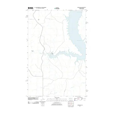 2011 Sanish SW2011 Print · USGSThe Missouri River breaks into the vast reservoir of Lake Sakakawea in the early 21st century, illustrating a landscape defined by water engineering and native lands. Researchers can trace the winding paths of Writing Rock Coulee, Bear Den Creek, and the heights of Blue Butte.
 - 2011 Map of Oakdale, 2011 Print
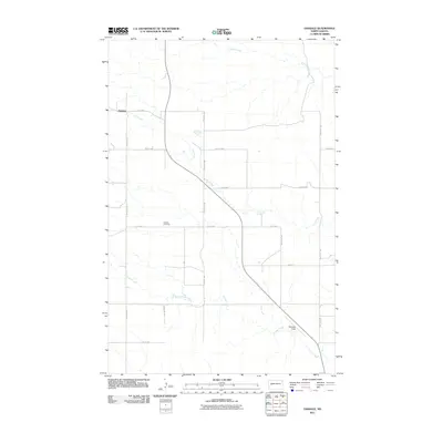 2011 Oakdale2011 Print · USGSWestern North Dakota prairie life is documented here in the early twenty-first century, showing the rural landscape around Oakdale. Researchers can trace local roots at Oakdale Cemetery or follow the winding courses of Gumbo Creek and Frank Creek.
 - 2011 Map of New Hradec North, 2011 Print
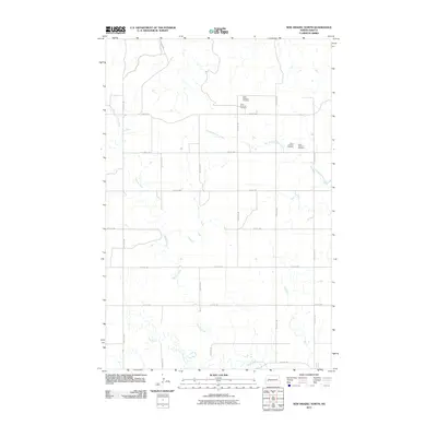 2011 New Hradec North2011 Print · USGSDunn County at the start of the twenty-first century reveals a landscape of high plains agriculture and deep-cut creek valleys. Researchers can trace the winding course of the Green River and locate the two sites of Saint Anthony Cemetery near the headwaters of Russian Spring Creek.
Showing maps 1-25 of 284
Top cities of Dunn County
- Killdeer historical maps
- Halliday historical maps
- Dodge historical maps
- Dunn Center historical maps
- Manning historical maps
Frequently asked questions
- What are the different types of historical maps available for Dunn County?
- What is the oldest map of Dunn County?
- Where can I purchase historical maps of Dunn County for my home or office?
- Where can I download high-res historical maps of Dunn County?
- Are there historical topographic maps available for Dunn County?
- Is there historical aerial imagery available for Dunn County?
- Where are historical maps of Dunn County sourced from?