2010s Maps of McLean County, North Dakota
Explore 192 historic maps of McLean County from the 2010s. These maps offer a rare glimpse into what life looked like during the 2010s — showing old roads, neighborhoods, homes, and landmarks that have changed or disappeared over time.
Whether you're researching your family's past, planning a metal detecting trip, or studying how McLean County's landscape evolved across the 2010s, these high-resolution maps are a powerful tool for exploring the history of this region.
- Focus on a specific era: All maps on this page are from the 2010s, giving you a focused view of this time period.
- See what’s changed: Compare century-old streets, trails, and buildings to today's modern landscape using overlays and satellite layers.
- Research with precision: Use these maps for genealogy, historical research, land use analysis, or educational projects.
- View, download, or print: Maps are fully viewable online in high resolution, and can be downloaded or printed for your own records.
Start exploring McLean County's history through authentic maps from the 2010s. This is your window into the past.
McLean County, ND maps
(192)- 2011 Map of Benedict, 2011 Print
 2011 Benedict2011 Print · USGSThe town of Benedict and the surrounding McLean County prairie are shown here in the early 2000s as a well-ordered agricultural landscape. Researchers can trace the local road grid from Main St out to rural landmarks like McMann Lake and County Hwy 23.
 - 2011 Map of Washburn NE, 2011 Print
 2011 Washburn NE2011 Print · USGSMcLean County is captured here in the early twenty-first century, showing a landscape defined by expansive agriculture and prairie wetlands. Researchers can trace the path of Buffalo Creek and identify local travel routes along Main St W and Coal Lake.
 - 2011 Map of Blackwater Lake, 2011 Print
 2011 Blackwater Lake2011 Print · USGSThe rural landscape around White Shield is captured here in the early twenty-first century, showing the enduring grid of the North Dakota prairie. Researchers can trace family history at the Roseglen Cemetery or locate features like Blackwater Lake and Minehan Slough.
 - 2011 Map of Blackwater Lake NW, 2011 Print
 2011 Blackwater Lake NW2011 Print · USGSMcLean County is captured here in the early twenty-first century, showing a rural landscape of large land parcels and established tribal sites. Genealogists and historians can locate the Indian Scout Cemetery and landmarks like Paint Hill.
 - 2011 Map of Max, 2011 Print
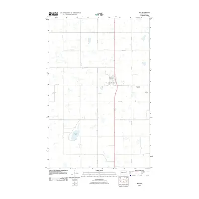 2011 Max2011 Print · USGSMax and its surrounding McLean County prairie are captured in detail during the early 2010s. Researchers can trace local lineage at Immaculate Conception Cemetery and Max Cemetery or explore the town's street plan including Andrew St and 3rd Ave.
 - 2011 Map of Washburn, 2011 Print
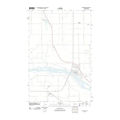 2011 Washburn2011 Print · USGSWashburn and the surrounding McLean County plains are seen here in the early twenty-first century as the Missouri River continues to shape the local geography. Researchers can trace family sites at Sverdrup Cemetery or locate the historic Kugler Mine and the small settlement of Hensler.
 - 2011 Map of Makoti SW, 2011 Print
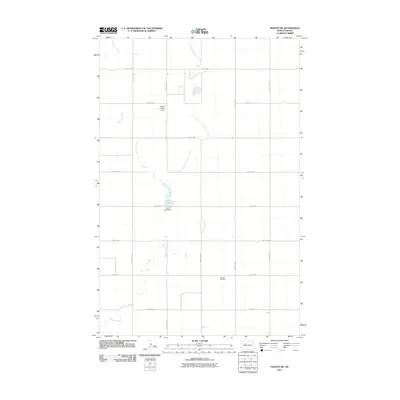 2011 Makoti SW2011 Print · USGSAgricultural North Dakota at the turn of the decade is defined by its precise road grid and prairie drainage systems. Researchers can locate family landmarks like the Roseglen Cemetery and trace the paths of Deepwater Creek and Lake Susie.
 - 2011 Map of Douglas West, 2011 Print
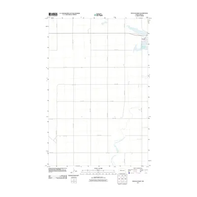 2011 Douglas West2011 Print · USGSThe rural landscape around Douglas is captured here in the early twenty-first century, showing the town's small-scale grid and the surrounding prairie. Genealogists and local historians can trace family properties along the extensive road network or near Douglas Lake and the Middle Branch Douglas Creek.
 - 2011 Map of Garrison NE, 2011 Print
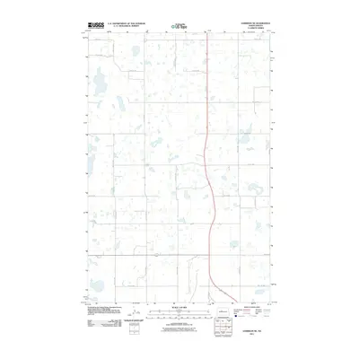 2011 Garrison NE2011 Print · USGSIn the early 21st century, the rural prairie of McLean County is defined by a rigorous grid of section-line roads and scattered prairie potholes. Genealogists and local historians can trace exact property boundaries along SECTION LINE and identify rural transit routes like 23rd St NW and 15th St NW.
 - 2011 Map of Benedict SW, 2011 Print
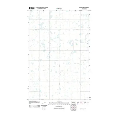 2011 Benedict SW2011 Print · USGSWard County's prairie pothole region is shown here in the early twenty-first century, defined by its unique glacial hydrology. Genealogists and land researchers can trace the section-line road network through routes like 359th Ave SE and 30th St NW.
 - 2011 Map of Washburn SW, 2011 Print
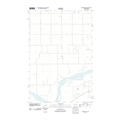 2011 Washburn SW2011 Print · USGSThe Missouri River bottomlands in McLean County appear here in the early twenty-first century as a landscape of rural industry and memory. Local historians and genealogists can pinpoint the Conklin Cemetery or trace the area's coal mining past at the Black Diamond Mine.
 - 2011 Map of Stanton SE, 2011 Print
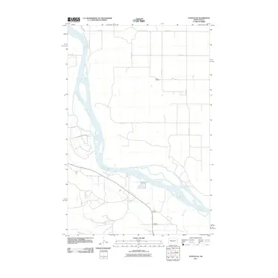 2011 Stanton SE2011 Print · USGSMcLean County is captured here in the early twenty-first century, showing the intersection of the Missouri River and the rural road grid. Genealogists and local historians can locate several important burial sites including Basto Cemetery, Deapolis Cemetery, and Alderin Cemetery.
 - 2011 Map of Riverdale South, 2011 Print
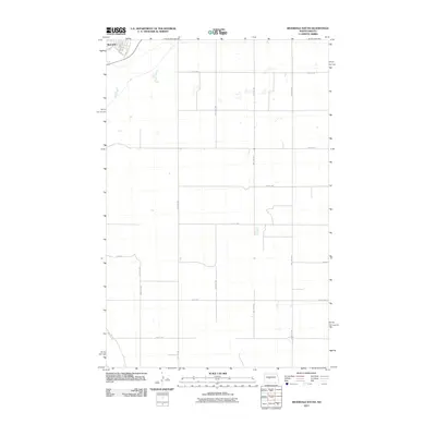 2011 Riverdale South2011 Print · USGSMcLean County, North Dakota, is captured here in the early twenty-first century as it balances the townsite of Riverdale with an expansive rural road network. Researchers can trace the section-line grids of County Hwy 16, Main St, and Iowa Ave.
 - 2011 Map of Underwood, 2011 Print
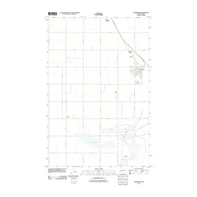 2011 Underwood2011 Print · USGSUnderwood and the surrounding McLean County prairie are captured here in the early twenty-first century as a landscape of steady agriculture and small-town roots. Researchers can trace local history through Underwood Cemetery, Saint Johns Cemetery, and the wetlands of Weller Slough.
 - 2011 Map of Roseglen, 2011 Print
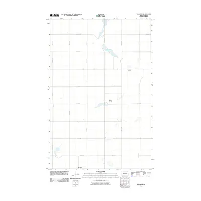 2011 Roseglen2011 Print · USGSRoseglen and the surrounding prairie are captured here in the early twenty-first century, showing the enduring grid of the North Dakota township system. Researchers can locate the Hiddenwood Cemetery or trace the drainage patterns around Hiddenwood Lake and Round Top Hill.
 - 2011 Map of Douglas East, 2011 Print
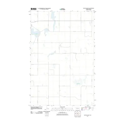 2011 Douglas East2011 Print · USGSWard County's agricultural high plains are captured here in the early twenty-first century, showing the enduring structure of the Great Plains grid system. Genealogists and local historians can trace property boundaries and access routes near Douglas Lake and the seasonal waters of Shallow Alkali Lake.
 - 2011 Map of Emmet, 2011 Print
 2011 Emmet2011 Print · USGSSettlement and farming in McLean County are captured here at the start of the 2010s. Genealogists and local historians can locate the Blackwater Cemetery and trace the drainage of West Branch Douglas Creek near Emmet.
 - 2011 Map of Fort Clark, 2011 Print
 2011 Fort Clark2011 Print · USGSMcLean County's agricultural prairie is captured here in the early twenty-first century, showing the intersection of the Missouri River and local water works. Researchers can trace rural infrastructure across landmarks like Daub Dam, Mandan Lake, and Square Butte 2 Dam.
 - 2011 Map of Parshall SE, 2011 Print
 2011 Parshall SE2011 Print · USGSThe rural prairie south of Parshall is captured here just after the turn of the millennium, showing a landscape defined by its rigid section-line roads. Researchers can trace the drainage of Deepwater Creek and locate local landmarks such as Peterson Lake Dam.
 - 2011 Map of Raub NW, 2011 Print
 2011 Raub NW2011 Print · USGSThe Missouri River basin near Parshall comes into focus in this modern era survey, showing the intricate shoreline of the reservoir. Researchers can trace the path of Charging Creek and the network of section roads like 23rd St NW and 75th Ave NW.
 - 2011 Map of Parshall SW, 2011 Print
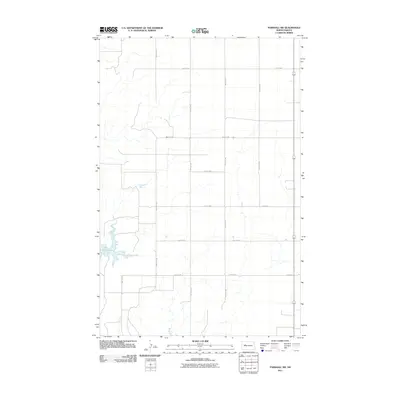 2011 Parshall SW2011 Print · USGSThe high plains of North Dakota meet the northern reaches of Lake Sakakawea in this early twenty-first-century survey. You can trace the precise section-line road grid, including 76th Ave NW and the transit corridor 37 1804, as it overlays the Missouri River landscape.
 - 2011 Map of Hay Flat, 2011 Print
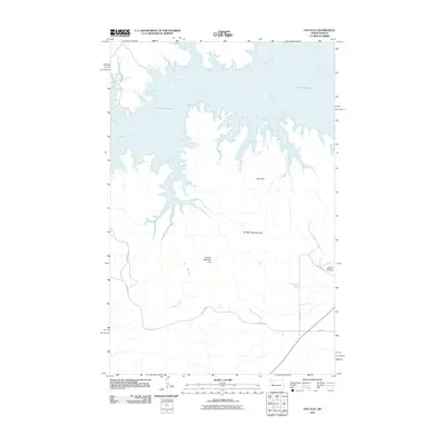 2011 Hay Flat2011 Print · USGSThe Missouri River breaks and the Missouri plateau meet in 2011 as Lake Sakakawea fills the northern coulees. Genealogists and local historians can locate Lincoln Memorial Cemetery and trace the paths of Mossett Rd and BIA Route 22.
 - 2011 Map of New Town SE, 2011 Print
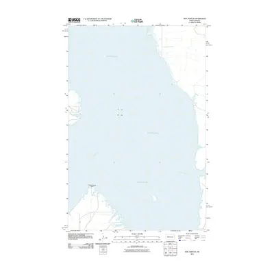 2011 New Town SE2011 Print · USGSThe Missouri River valley in central North Dakota appears here after its transformation into the massive Lake Sakakawea reservoir. Local historians and researchers can trace the shoreline around Independence Point and follow the route of BIA 13 along the southern banks.
 - 2011 Map of Twin Buttes, 2011 Print
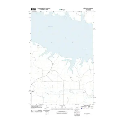 2011 Twin Buttes2011 Print · USGSTwin Buttes and the southern shores of Lake Sakakawea are captured here as they appeared in the early 2000s. Genealogists can locate several remote burial sites including Medicine Stone Cemetery, Chase Cemetery, and Crowsheart Cemetery.
 - 2011 Map of New Town SW, 2011 Print
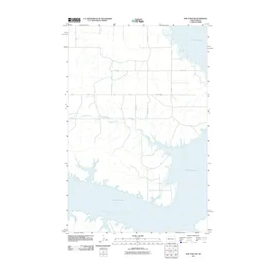 2011 New Town SW2011 Print · USGSMountrail County, North Dakota, is defined by the high water levels of the Missouri River reservoir in the early twenty-first century. Researchers can trace the complex shoreline of Lake Sakakawea and follow rural paths like 89th Ave NW and Little Shell Creek.
Showing maps 1-25 of 192
Top cities of McLean County
- Washburn historical maps
- Garrison historical maps
- Underwood historical maps
- Turtle Lake historical maps
- Riverdale historical maps
- Max historical maps
See more
Frequently asked questions
- What are the different types of historical maps available for McLean County?
- What is the oldest map of McLean County?
- Where can I purchase historical maps of McLean County for my home or office?
- Where can I download high-res historical maps of McLean County?
- Are there historical topographic maps available for McLean County?
- Is there historical aerial imagery available for McLean County?
- Where are historical maps of McLean County sourced from?