2000s (21st Century) Maps of Rolette County, North Dakota
Explore 130 historic maps of Rolette County from the 2000s (21st Century). These maps offer a rare glimpse into what life looked like during the 2000s — showing old roads, neighborhoods, homes, and landmarks that have changed or disappeared over time.
Whether you're researching your family's past, planning a metal detecting trip, or studying how Rolette County's landscape evolved across the 2000s, these high-resolution maps are a powerful tool for exploring the history of this region.
- Focus on a specific era: All maps on this page are from the 2000s, giving you a focused view of this time period.
- See what’s changed: Compare century-old streets, trails, and buildings to today's modern landscape using overlays and satellite layers.
- Research with precision: Use these maps for genealogy, historical research, land use analysis, or educational projects.
- View, download, or print: Maps are fully viewable online in high resolution, and can be downloaded or printed for your own records.
Start exploring Rolette County's history through authentic maps from the 2000s. This is your window into the past.
Rolette County, ND maps
(130)- 2011 Map of Barton, 2011 Print
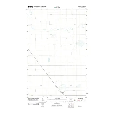 2011 Barton2011 Print · USGSCovers Rolette County, including Barton, South Valley Township, and other nearby areas
 - 2011 Map of Overly SE, 2011 Print
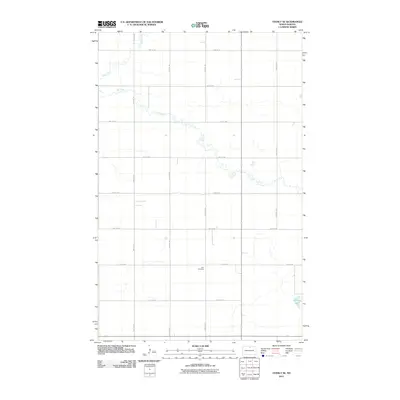 2011 Overly SE2011 Print · USGSCovers Rolette County, including South Valley Township, Pierce County, and other nearby areas
 - 2011 Map of Boundary Lake, 2011 Print
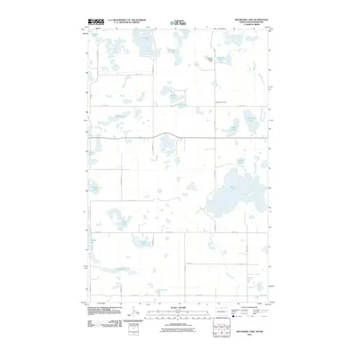 2011 Boundary Lake2011 Print · USGSCovers Rolette County, including Bottineau County, Municipality of Boissevain – Morton, and other nearby areas
 - 2011 Map of Lords Lake, 2011 Print
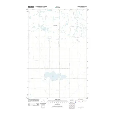 2011 Lords Lake2011 Print · USGSCovers Rolette County, including Bottineau County, United States, and other nearby areas
 - 2011 Map of Fonda, 2011 Print
 2011 Fonda2011 Print · USGSCovers Rolette County, including Fonda, Kohlmeier Township, and other nearby areas
 - 2011 Map of Dunseith, 2011 Print
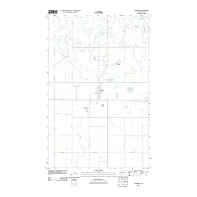 2011 Dunseith2011 Print · USGSCovers Rolette County, including Dunseith, San Haven, and other nearby areas
 - 2011 Map of Overly, 2011 Print
 2011 Overly2011 Print · USGSCovers Rolette County, including Overly, Kohlmeier Township, and other nearby areas
 - 2011 Map of Nanson, 2011 Print
 2011 Nanson2011 Print · USGSCovers Rolette County, including Nanson, Pierce County, and other nearby areas
 - 2011 Map of Rolette, 2011 Print
 2011 Rolette2011 Print · USGSCovers Rolette County, including Rolette, Maryville Township, and other nearby areas
 - 2011 Map of Bisbee South, 2011 Print
 2011 Bisbee South2011 Print · USGSCovers Rolette County, including Bisbee, Agate, and other nearby areas
 - 2011 Map of Bisbee North, 2011 Print
 2011 Bisbee North2011 Print · USGSCovers Rolette County, including Bisbee, Perth, and other nearby areas
 - 2011 Map of Belcourt, 2011 Print
 2011 Belcourt2011 Print · USGSCovers Rolette County, including Belcourt, Rolla, and other nearby areas
 - 2011 Map of Mylo SE, 2011 Print
 2011 Mylo SE2011 Print · USGSCovers Rolette County, including Pierce County, United States, and other nearby areas
 - 2011 Map of Island Lake, 2011 Print
 2011 Island Lake2011 Print · USGSCovers Rolette County, including Wolford, Pierce County, and other nearby areas
 - 2011 Map of Rolette SW, 2011 Print
 2011 Rolette SW2011 Print · USGSCovers Rolette County, including Pierce County, United States, and other nearby areas
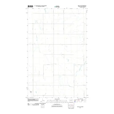
 - 2011 Map of Mylo NW, 2011 Print
 2011 Mylo NW2011 Print · USGSCovers Rolette County, including Mylo, Maryville Township, and other nearby areas
 - 2011 Map of Rolla, 2011 Print
 2011 Rolla2011 Print · USGSCovers Rolette County, including Rolla, Towner County, and other nearby areas
 - 2011 Map of Lake Upsilon SE, 2011 Print
 2011 Lake Upsilon SE2011 Print · USGSCovers Rolette County, including Belcourt, Shell Valley, and other nearby areas
 - 2011 Map of Mylo, 2011 Print
 2011 Mylo2011 Print · USGSCovers Rolette County, including Mylo, Towner County, and other nearby areas
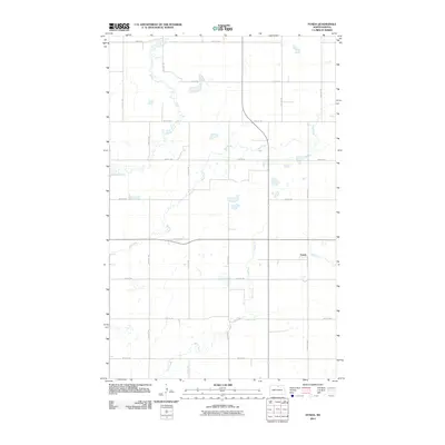
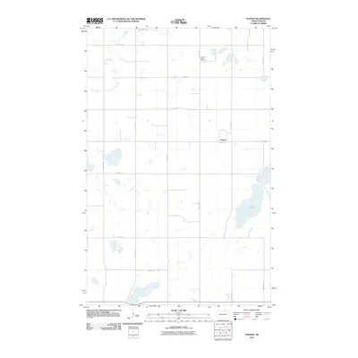
 - 2011 Map of Thorne, 2011 Print
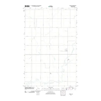
 2011 Thorne2011 Print · USGSCovers Rolette County, including Thorne, Shell Valley Township, and other nearby areas
 - 2011 Map of Lake Upsilon SW, 2011 Print
 2011 Lake Upsilon SW2011 Print · USGSCovers Rolette County, including Shell Valley, Shell Valley Township, and other nearby areas
 - 2011 Map of International Peace Garden, 2011 Print
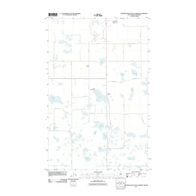 2011 International Peace Garden2011 Print · USGSCovers Rolette County, including Kelvin, East Dunseith, and other nearby areas
 - 2011 Map of Rolla NE, 2011 Print
 2011 Rolla NE2011 Print · USGSCovers Rolette County, including Municipality of Killarney-Turtle Mountain, Towner County, and other nearby areas
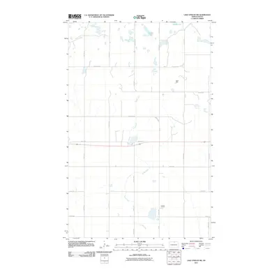
 - 2011 Map of Lake Upsilon, 2011 Print
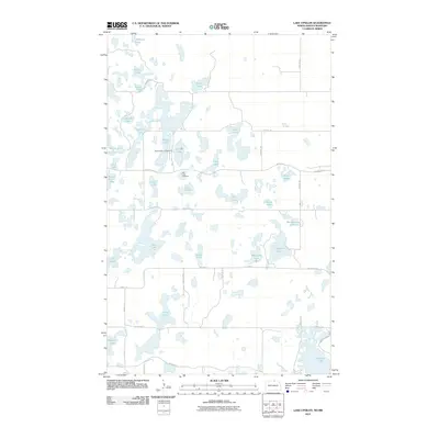 2011 Lake Upsilon2011 Print · USGSCovers Rolette County, including Municipality of Killarney-Turtle Mountain, United States, and other nearby areas
 - 2011 Map of Carpenter Lake, 2011 Print
 2011 Carpenter Lake2011 Print · USGSCovers Rolette County, including Municipality of Killarney-Turtle Mountain, Municipality of Boissevain – Morton, and other nearby areas
Showing maps 1-25 of 130
Top cities of Rolette County
- Belcourt historical maps
- Rolla historical maps
- Dunseith historical maps
- Rolette historical maps
- Mylo historical maps
Frequently asked questions
- What are the different types of historical maps available for Rolette County?
- What is the oldest map of Rolette County?
- Where can I purchase historical maps of Rolette County for my home or office?
- Where can I download high-res historical maps of Rolette County?
- Are there historical topographic maps available for Rolette County?
- Is there historical aerial imagery available for Rolette County?
- Where are historical maps of Rolette County sourced from?