2020s Maps of Rolette County, North Dakota
Explore 52 historic maps of Rolette County from the 2020s. These maps offer a rare glimpse into what life looked like during the 2020s — showing old roads, neighborhoods, homes, and landmarks that have changed or disappeared over time.
Whether you're researching your family's past, planning a metal detecting trip, or studying how Rolette County's landscape evolved across the 2020s, these high-resolution maps are a powerful tool for exploring the history of this region.
- Focus on a specific era: All maps on this page are from the 2020s, giving you a focused view of this time period.
- See what’s changed: Compare century-old streets, trails, and buildings to today's modern landscape using overlays and satellite layers.
- Research with precision: Use these maps for genealogy, historical research, land use analysis, or educational projects.
- View, download, or print: Maps are fully viewable online in high resolution, and can be downloaded or printed for your own records.
Start exploring Rolette County's history through authentic maps from the 2020s. This is your window into the past.
Rolette County, ND maps
(52)- 2020 Map of Lords Lake, 2020 Print
 2020 Lords Lake2020 Print · USGSThe northern prairie of Rolette and Bottineau counties is shown in this contemporary survey, characterized by glacial lakes and the rising Turtle Mountains. Genealogists and land researchers can trace property boundaries along 94th St NE or locate the peaks of Butte Saint Paul and Lords Lake.
 - 2020 Map of International Peace Garden, 2020 Print
 2020 International Peace Garden2020 Print · USGSThe North Dakota borderlands near the International Peace Garden appear here in the early twenty-first century. Genealogists and local researchers can trace rural homestead routes and landmarks like Kelvin, the Little Prairie Cem, and Berry Lake.
 - 2020 Map of Barton, 2020 Print
 2020 Barton2020 Print · USGSThe northern plains of Pierce County are captured here in the early twenty-first century, showing the small community of Barton. Genealogists and local historians can locate specific family landmarks such as West Barton Lutheran Cem and East Barton Lutheran Cem.
 - 2020 Map of Overly SE, 2020 Print
 2020 Overly SE2020 Print · USGSThe rural border of Rolette and Pierce Counties is captured here in the early twenty-first century, showing a landscape shaped by glacial waters. Researchers can locate the Zion Cem and trace the drainage of Wolf Cr and Ox Cr across the section lines.
 - 2020 Map of Dunseith, 2020 Print
 2020 Dunseith2020 Print · USGSRolette County's transition from the plains to the Turtle Mountains is documented here in the modern era. Genealogists and historians can locate numerous rural burial sites like Saint Sylvan Cem and Riverside Cem, or trace water bodies such as Schutte Lake.
 - 2020 Map of Fonda, 2020 Print
 2020 Fonda2020 Print · USGSRolette County's prairie landscape is captured here in the early twenty-first century, showing the rural crossroads of Fonda. Genealogists and local historians can trace the section-line roads and natural watercourses like Wolf Cr, Mud Cr, and Snake Cr.
 - 2020 Map of Overly, 2020 Print
 2020 Overly2020 Print · USGSOverly sits at the center of this rural North Dakota landscape as it appeared in 2020. Genealogists and local historians can locate the Willow Creek Lutheran Cem, Little Fargo Cem, and the winding course of Willow Cr.
 - 2020 Map of Mylo NW, 2020 Print
 2020 Mylo NW2020 Print · USGSRolette County prairie land is captured here in the years following the millennium, showing a landscape of scattered wetlands and agricultural grids. Genealogists can locate the Old Order Amish Mennonite Cem and trace the surroundings of Mylo near Long Lake.
 - 2020 Map of Lake Upsilon SW, 2020 Print
 2020 Lake Upsilon SW2020 Print · USGSThe northern Rolette County landscape as it appeared in recent years is defined by the high glacial terrain of the Turtle Mountains. Genealogists and local historians can locate community landmarks such as Saint Anthonys Cem, Lakeview Cem, and the waters of Cassidy Lake.
 - 2020 Map of Nanson, 2020 Print
 2020 Nanson2020 Print · USGSThe prairie landscape surrounding Nanson comes into focus in this recent survey, capturing the rural character of the Rolette Co and Pierce Co border. Local historians can locate family landmarks like the South Ox Creek Lutheran Cem and Twin Lakes.
 - 2020 Map of Mylo, 2020 Print
 2020 Mylo2020 Print · USGSThe small prairie community of Mylo and its surrounding townships are documented here during the early twenty-first century. Researchers can trace the local road network and county line along Rolette Co Towner Co or locate the town center at Main St.
 - 2020 Map of Rolette, 2020 Print
 2020 Rolette2020 Print · USGSRolette and its surrounding townships are captured in this recent survey of the North Dakota prairie. Genealogists can locate family sites near Sacred Heart Catholic Cem or Westland Cem, while the local drainage of Wolf Cr defines the rural landscape.
 - 2020 Map of Belcourt, 2020 Print
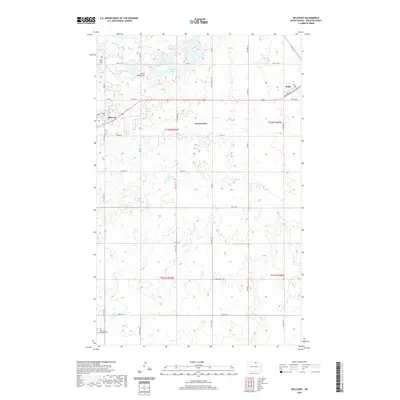 2020 Belcourt2020 Print · USGSRolette County's upland landscape is captured here in the contemporary era, centered on the community of Belcourt. Researchers can trace local lineage at Saint Paul Cem or follow the roads through the Turtle Mountains to Green Acres and Rolla.
 - 2020 Map of Bisbee South, 2020 Print
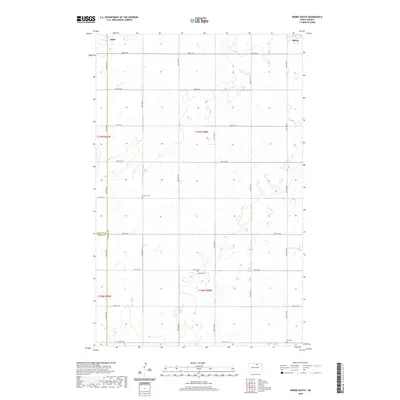 2020 Bisbee South2020 Print · USGSTowner County agriculture and rural life take center stage in this 2020 survey of the North Dakota prairie. Local historians and genealogists can pinpoint exact locations for family roots at Teubner Cem, Zion Cem, and the small community of Agate.
 - 2020 Map of Island Lake, 2020 Print
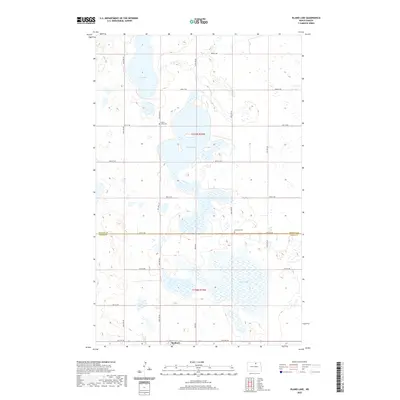 2020 Island Lake2020 Print · USGSThe North Dakota prairie near the turn of the 21st century remains defined by its glacial lakes and the straight section lines of Pierce and Rolette counties. Genealogists and local historians can locate Island Lake Cem, Lakeview Cem, and the settlement of Wolford.
 - 2020 Map of Saint John, 2020 Print
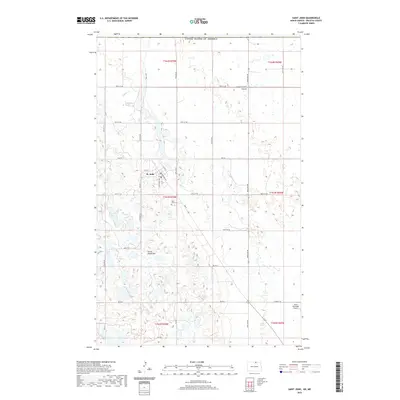 2020 Saint John2020 Print · USGSRolette County's northern edge is captured in this modern survey of the borderlands near St. John. Genealogists and researchers can trace local landmarks like Saint John Cem, the Rolla Municipal Airport, and the terrain of the Turtle Mountains.
 - 2020 Map of Rolette SW, 2020 Print
 2020 Rolette SW2020 Print · USGSThe rural boundary between Rolette and Pierce counties is captured here in the early twenty-first century, showcasing a landscape of prairie wetlands. Local historians and land researchers can trace the drainage of Ox Creek and the shores of Wright Lake and Kishpaugh Lake.
 - 2020 Map of Thorne, 2020 Print
 2020 Thorne2020 Print · USGSThorne and the surrounding North Dakota prairie are captured here in 2020, showing a landscape shaped by glacial lakes and section-line roads. Researchers can locate the Saint Edward Cem and trace the paths of Snake Cr or Thorne Rd across the grid.
 - 2020 Map of Lake Upsilon, 2020 Print
 2020 Lake Upsilon2020 Print · USGSThe Turtle Mountain plateau comes alive in this contemporary study of Rolette County's unique glacial lake topography. Researchers can pinpoint Saint Benedict Cem, Mill Lake Cem, and the campus of Turtle Mountain Community College.
 - 2020 Map of Carpenter Lake, 2020 Print
 2020 Carpenter Lake2020 Print · USGSThe North Dakota borderlands near the turn of the 2020s are captured here as a dense mosaic of glacial lakes and prairie roads. Genealogists and local historians can locate Saint John's Lutheran Cem or trace the drainage of Wakopa Cr near Ben Waters Lake.
 - 2020 Map of Rolla, 2020 Print
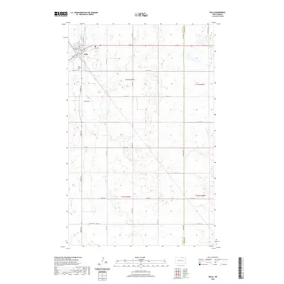 2020 Rolla2020 Print · USGSThe northern plains surrounding Rolla are captured here in a contemporary study of Rolette County's agricultural and civic heart. Researchers can pinpoint the Rolette County Courthouse, trace local genealogies at Rolla Cem and Emanuel Cem, and follow the path of the Big Coulee.
 - 2020 Map of Mylo SE, 2020 Print
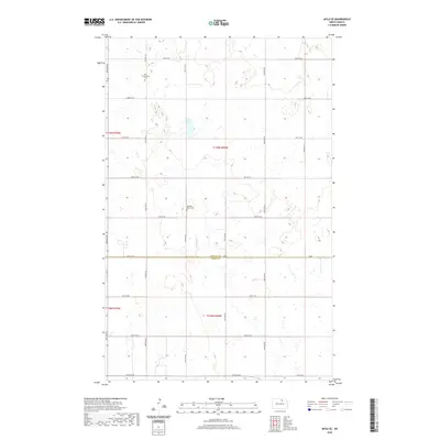 2020 Mylo SE2020 Print · USGSRolette and Pierce counties meet in this 2020 topographic survey of the North Dakota prairie during a period of modern agricultural continuity. Genealogists and local historians can pinpoint family landmarks including the Mylo Community Cemetery and Pleasant Valley Cemetery.
 - 2020 Map of Rolla NE, 2020 Print
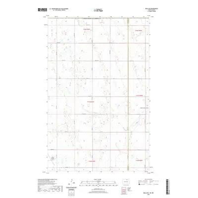 2020 Rolla NE2020 Print · USGSThe North Dakota prairie meets the international border in this 2020 survey of Rolette and Towner Counties. Researchers can trace the rural landscape near the Rolla Municipal Airport and along the waters of Hidden Island Coulee.
 - 2020 Map of Lake Upsilon SE, 2020 Print
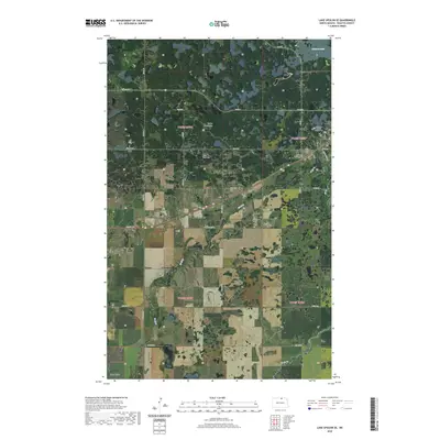 2020 Lake Upsilon SE2020 Print · USGSThe Turtle Mountain region near Belcourt is documented here in the early twenty-first century, showing a unique landscape of wooded hills and glacial lakes. Genealogists can locate several historic burial sites, including Saint Ann Catholic Original Cem and White Stone Cem near Shell Valley.
 - 2020 Map of Bisbee North, 2020 Print
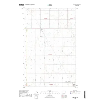 2020 Bisbee North2020 Print · USGSTowner County and the northern prairie landscape are preserved here in the modern era of rural North Dakota. Genealogists and local historians can trace family plots at Saint Pauls Presbyterian Cem or explore the street grids of Perth and Bisbee.
Showing maps 1-25 of 52
Top cities of Rolette County
- Belcourt historical maps
- Rolla historical maps
- Dunseith historical maps
- Rolette historical maps
- Mylo historical maps
Frequently asked questions
- What are the different types of historical maps available for Rolette County?
- What is the oldest map of Rolette County?
- Where can I purchase historical maps of Rolette County for my home or office?
- Where can I download high-res historical maps of Rolette County?
- Are there historical topographic maps available for Rolette County?
- Is there historical aerial imagery available for Rolette County?
- Where are historical maps of Rolette County sourced from?