2020s Maps of Porcupine District, North Dakota
Explore 41 historic maps of Porcupine District from the 2020s. These maps offer a rare glimpse into what life looked like during the 2020s — showing old roads, neighborhoods, homes, and landmarks that have changed or disappeared over time.
Whether you're researching your family's past, planning a metal detecting trip, or studying how Porcupine District's landscape evolved across the 2020s, these high-resolution maps are a powerful tool for exploring the history of this region.
- Focus on a specific era: All maps on this page are from the 2020s, giving you a focused view of this time period.
- See what’s changed: Compare century-old streets, trails, and buildings to today's modern landscape using overlays and satellite layers.
- Research with precision: Use these maps for genealogy, historical research, land use analysis, or educational projects.
- View, download, or print: Maps are fully viewable online in high resolution, and can be downloaded or printed for your own records.
Start exploring Porcupine District's history through authentic maps from the 2020s. This is your window into the past.
Porcupine District, ND maps
(41)- 2020 Map of Bell Coulee East, 2020 Print
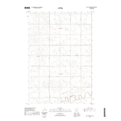 2020 Bell Coulee East2020 Print · USGSCovers Porcupine District, including Grant County, Sioux County, and other nearby areas
 - 2020 Map of Shields, 2020 Print
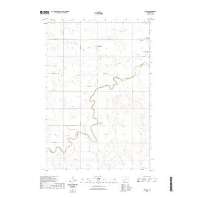 2020 Shields2020 Print · USGSCovers Porcupine District, including Shields, Grant County, and other nearby areas
 - 2020 Map of Pamplin Hills, 2020 Print
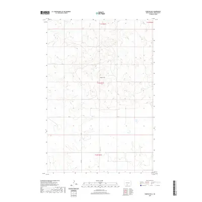 2020 Pamplin Hills2020 Print · USGSCovers Porcupine District, including Sioux County, United States, and other nearby areas
 - 2020 Map of Round Top, 2020 Print
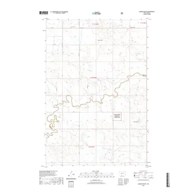
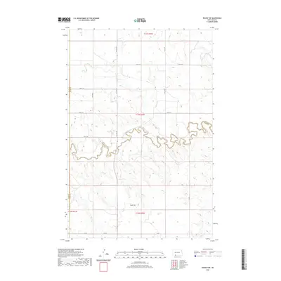 2020 Round Top2020 Print · USGSCovers Porcupine District, including Menz Township, Grant County, and other nearby areas
 - 2020 Map of Lookout Butte SE, 2020 Print
 2020 Lookout Butte SE2020 Print · USGSCovers Porcupine District, including Grant County, Sioux County, and other nearby areas
 - 2020 Map of Pretty Rock Butte SE, 2020 Print
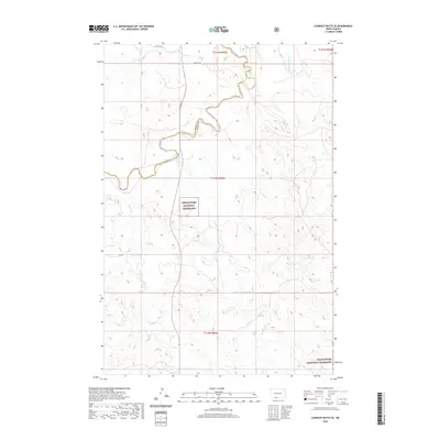
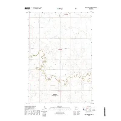 2020 Pretty Rock Butte SE2020 Print · USGSCovers Porcupine District, including Menz Township, Grant County, and other nearby areas
 - 2020 Map of Selfridge, 2020 Print
 2020 Selfridge2020 Print · USGSCovers Porcupine District, including Fort Yates District, Selfridge, and other nearby areas
 - 2020 Map of Pitt Creek, 2020 Print
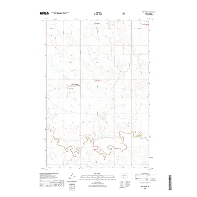 2020 Pitt Creek2020 Print · USGSCovers Porcupine District, including Grant County, Sioux County, and other nearby areas
 - 2020 Map of Lookout Butte, 2020 Print
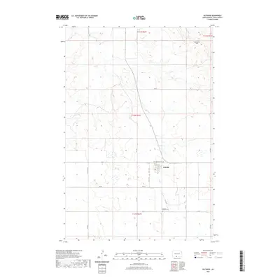
 2020 Lookout Butte2020 Print · USGSCovers Porcupine District, including Grant County, Sioux County, and other nearby areas
 - 2020 Map of Parks Hills, 2020 Print
 2020 Parks Hills2020 Print · USGSCovers Porcupine District, including Grant County, Sioux County, and other nearby areas
 - 2020 Map of Shields SW, 2020 Print
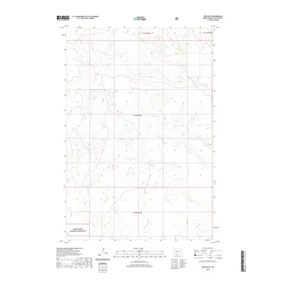 2020 Shields SW2020 Print · USGSCovers Porcupine District, including Sioux County, United States, and other nearby areas
 - 2020 Map of Porcupine, 2020 Print
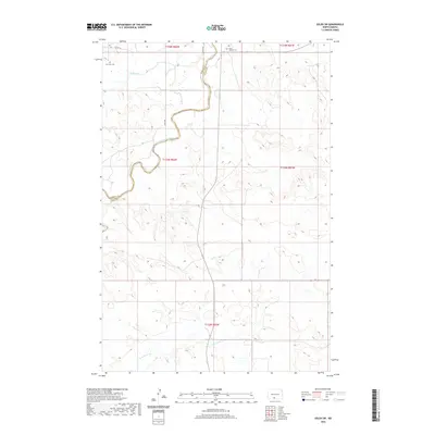
 2020 Porcupine2020 Print · USGSCovers Porcupine District, including Porcupine, Grant County, and other nearby areas
 - 2020 Map of Solen SW, 2020 Print
 2020 Solen SW2020 Print · USGSCovers Porcupine District, including Cannonball District, Fort Yates District, and other nearby areas
 - 2020 Map of Froelich Dam, 2020 Print
 2020 Froelich Dam2020 Print · USGSCovers Porcupine District, including Fort Yates District, Sioux County, and other nearby areas
 - 2020 Map of Breien, 2020 Print
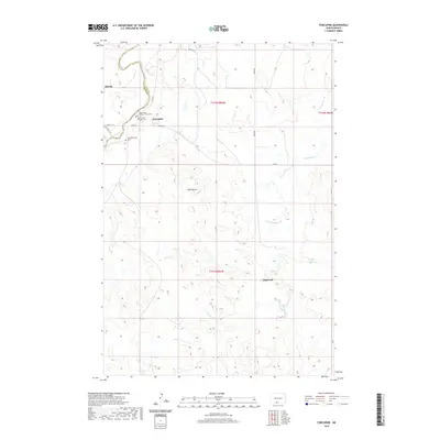
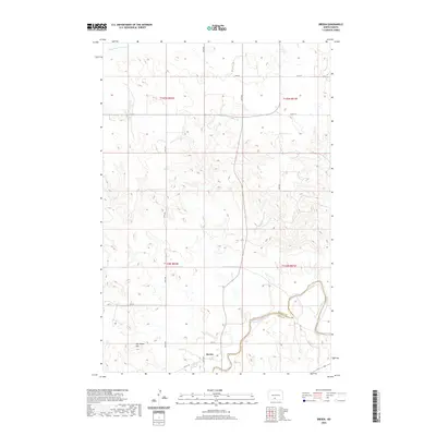 2020 Breien2020 Print · USGSCovers Porcupine District, including Cannonball District, Breien, and other nearby areas
 - 2020 Map of Timmer, 2020 Print
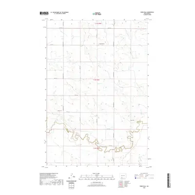
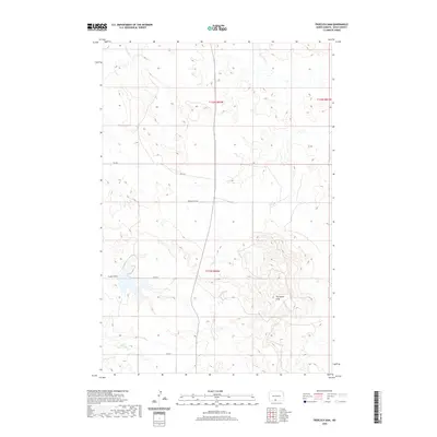
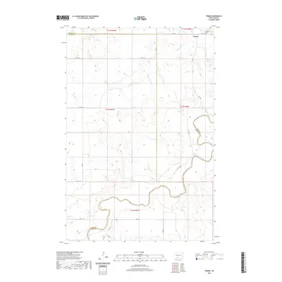 2020 Timmer2020 Print · USGSCovers Porcupine District, including Timmer, Morton County, and other nearby areas
 - 2021 Map of Keldron, 2021 Print
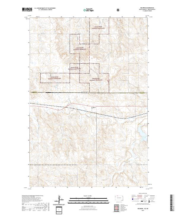 2021 Keldron2021 Print · USGSCorson County, South Dakota, is shown here in the early 2020s as a landscape of vast prairie and managed grasslands. Genealogists and historians can trace the rural road network surrounding Keldron and locate landmarks like Morristown Lake and Hay Cr.
 - 2021 Map of Hump Butte, 2021 Print
 2021 Hump Butte2021 Print · USGSThe rolling plains on the border of North Dakota and South Dakota are captured in this recent survey. Local researchers can trace land divisions and terrain features like Hump Butte and the winding course of Plum Cr.
 - 2021 Map of Thunder Hawk, 2021 Print
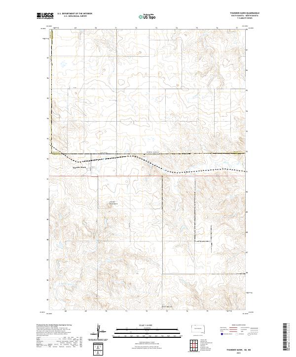 2021 Thunder Hawk2021 Print · USGSThe borderlands of the Dakotas come into focus in this 2021 study of the high plains. Researchers can trace the layout of Thunder Hawk just below the State Line Rd or locate natural landmarks like Thunder Hawk Butte and Turtle Cr.
 - 2021 Map of McIntosh, 2021 Print
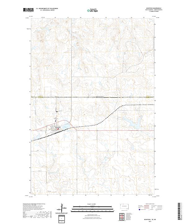 2021 McIntosh2021 Print · USGSMcintosh and the northern border of Corson County are captured in this recent survey of the South Dakota plains. Genealogists and local historians can trace town blocks around the Corson County Courthouse and locate the Saint Bonaventure Cem or Mcintosh Cem.
 - 2021 Map of Maple Leaf, 2021 Print
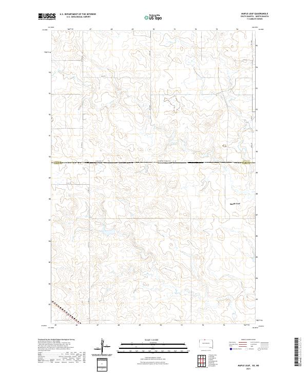 2021 Maple Leaf2021 Print · USGSThe northern plains at the border of the Dakotas come into focus in this recent survey of the prairie. Genealogists and historians can trace the rural infrastructure around Maple Leaf and the course of Oak Cr along the storied State Line St.
 - 2021 Map of Walker, 2021 Print
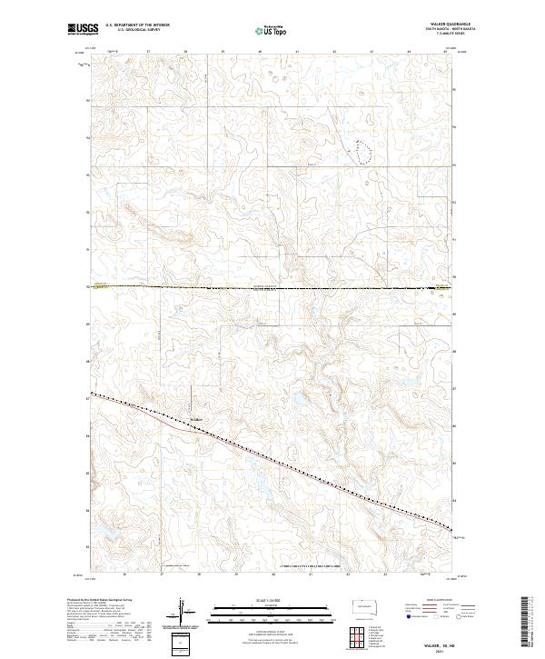 2021 Walker2021 Print · USGSThe borderlands of the Dakotas appear in this recent survey, centered on the small settlement of Walker. Researchers can trace the meandering paths of Oak Cr and Rock Cr alongside rural local routes like BIA Hwy 21 and Hoot St.
 - 2021 Map of Tatanka Lake, 2021 Print
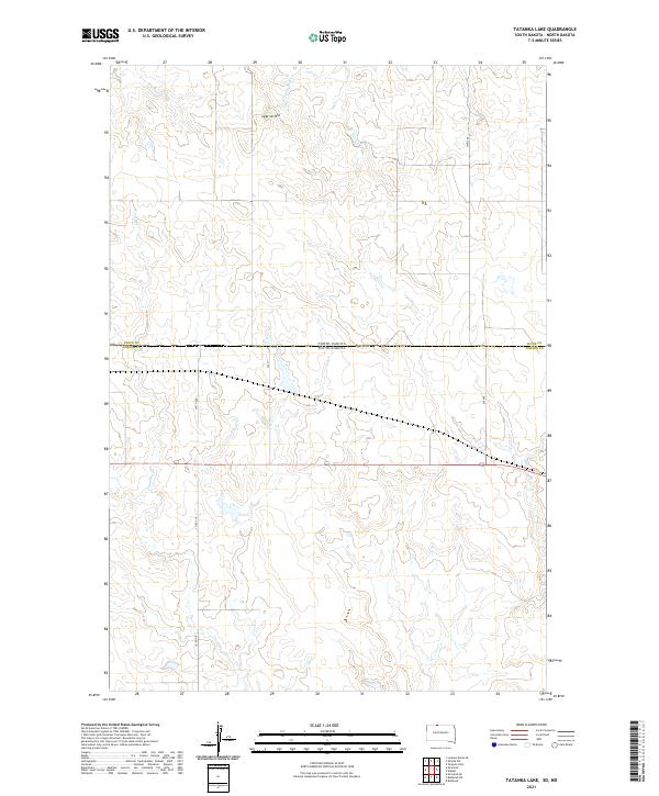 2021 Tatanka Lake2021 Print · USGSThe borderlands of the Dakotas appear in this modern survey of the Standing Rock Reservation area. Researchers can trace the drainage of Leaf-on-the-Hill Cr and locate local landmarks like Leaf-on-Hill and the remote corridors of Co Rd 718.
 - 2021 Map of Watauga, 2021 Print
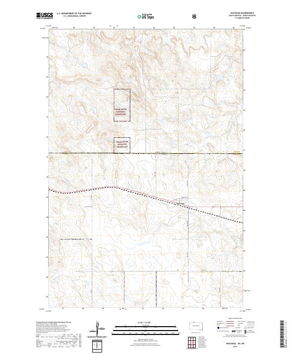 2021 Watauga2021 Print · USGSThe community of Watauga and the surrounding plains of the Dakotas come into focus in this contemporary study. Trace the intersection of 2nd St and Cemetary St or follow the drainages of Timber Cr and Red Willow Cr.
 - 2021 Map of Morristown, 2021 Print
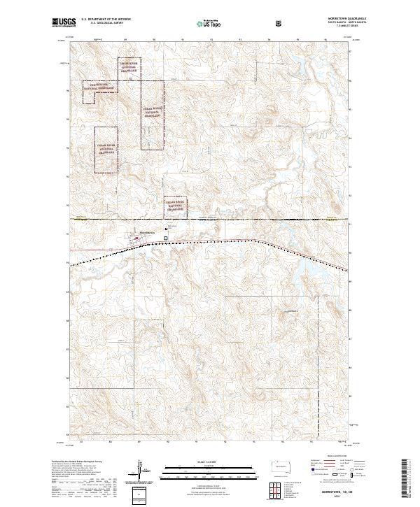 2021 Morristown2021 Print · USGSStraddling the North and South Dakota border in the early 2020s, this area centers on the town of Morristown. Genealogists and local historians can trace the town grid and find the Morristown Cem or the natural landmark of Peaked Butte.
Showing maps 1-25 of 41
Top cities near Porcupine District
Top neighborhoods of Porcupine District
Frequently asked questions
- What are the different types of historical maps available for Porcupine District?
- What is the oldest map of Porcupine District?
- Where can I purchase historical maps of Porcupine District for my home or office?
- Where can I download high-res historical maps of Porcupine District?
- Are there historical topographic maps available for Porcupine District?
- Is there historical aerial imagery available for Porcupine District?
- Where are historical maps of Porcupine District sourced from?