2000s (21st Century) Maps of Porcupine District, North Dakota
Explore 122 historic maps of Porcupine District from the 2000s (21st Century). These maps offer a rare glimpse into what life looked like during the 2000s — showing old roads, neighborhoods, homes, and landmarks that have changed or disappeared over time.
Whether you're researching your family's past, planning a metal detecting trip, or studying how Porcupine District's landscape evolved across the 2000s, these high-resolution maps are a powerful tool for exploring the history of this region.
- Focus on a specific era: All maps on this page are from the 2000s, giving you a focused view of this time period.
- See what’s changed: Compare century-old streets, trails, and buildings to today's modern landscape using overlays and satellite layers.
- Research with precision: Use these maps for genealogy, historical research, land use analysis, or educational projects.
- View, download, or print: Maps are fully viewable online in high resolution, and can be downloaded or printed for your own records.
Start exploring Porcupine District's history through authentic maps from the 2000s. This is your window into the past.
Porcupine District, ND maps
(122)- 2011 Map of Thunder Hawk, 2011 Print
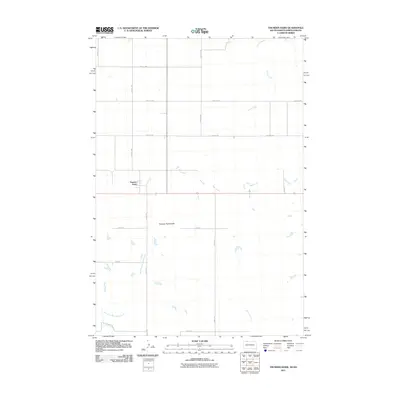 2011 Thunder Hawk2011 Print · USGSThe borderlands of South Dakota and North Dakota are documented here in the early twenty-first century, showing a remote prairie landscape. Researchers can locate the settlement of Thunder Hawk and trace the paths of Turtle Creek and Thunder Hawk Butte.
 - 2011 Map of Hump Butte, 2011 Print
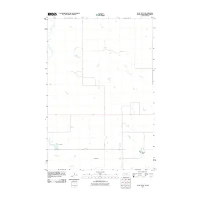 2011 Hump Butte2011 Print · USGSThe Porcupine District at the state line shows its ranching character in the early 2000s, where land management revolves around local water sources. Genealogists and historians can trace family-named landmarks like the George Genoff Dam, Seilers Dam, and the prominent Hump Butte.
 - 2011 Map of Watauga, 2011 Print
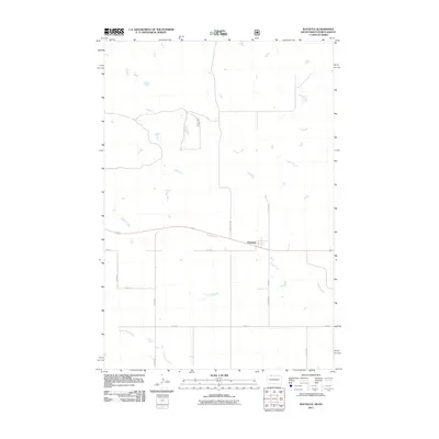 2011 Watauga2011 Print · USGSThe settlement of Watauga and the surrounding northern plains are captured here in the early twenty-first century. Researchers can trace rural property boundaries and drainage along Hump Creek, Timber Creek, and local routes like County Rd 6597.
 - 2011 Map of Walker, 2011 Print
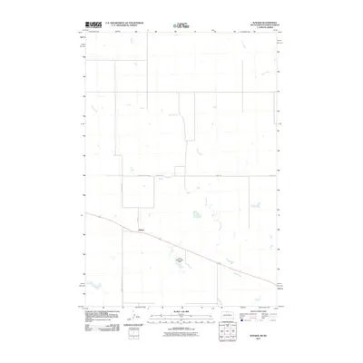 2011 Walker2011 Print · USGSThe borderlands of North and South Dakota come into focus in the early twenty-first century, centered on the settlement of Walker. Genealogists and researchers can trace local transit routes like Old Yellowstone Rd and landmarks such as the Henry Holwenger Dam.
 - 2011 Map of McIntosh, 2011 Print
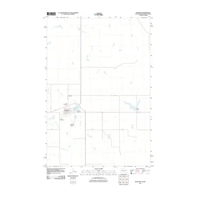 2011 McIntosh2011 Print · USGSThe northern plains of Corson County are captured here in the early twenty-first century, centered on the community of McIntosh. Genealogists and local historians can trace family sites at Saint Bonaventure Cemetery or locate landmarks like the McIntosh Municipal Airport.
 - 2011 Map of Tatanka Lake, 2011 Print
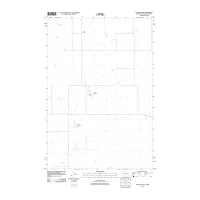 2011 Tatanka Lake2011 Print · USGSThe North Dakota-South Dakota borderlands are captured here in the early twenty-first century, showing a landscape shaped by prairie waterways. Researchers can trace land use through family-named landmarks like the Richard Glines Dam and John Gehring Dam near Tatanka Lake.
 - 2011 Map of Morristown, 2011 Print
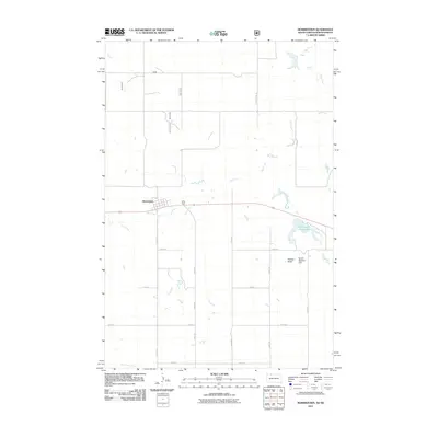 2011 Morristown2011 Print · USGSMorristown and its surrounding plains are documented here in the early 21st century, showing the small community's relationship with the northern prairie landscape. Researchers can locate specific property landmarks and water features like Morristown East Lake, Peaked Butte, and the Robert Bubbers Dam.
 - 2011 Map of Solen SW, 2011 Print
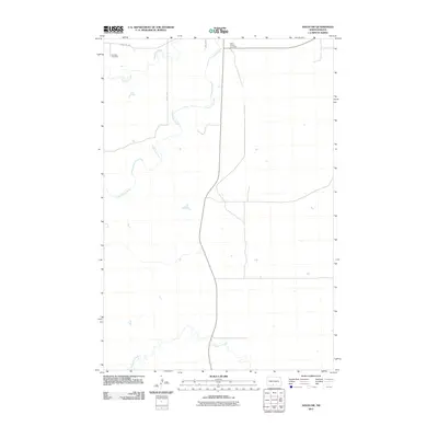 2011 Solen SW2011 Print · USGSSioux County's rural landscape is captured here in the early twenty-first century, centered on the winding path of the Cannonball River. Researchers can locate family sites and local landmarks such as Fairview Cemetery, Saint Gabriel Cemetery, and Dogtooth Creek.
 - 2011 Map of Selfridge, 2011 Print
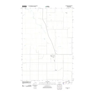 2011 Selfridge2011 Print · USGSThe rural plains of Sioux County are captured here in the early twenty-first century, centered on the small town of Selfridge. Researchers can trace local landmarks and property boundaries near Saint Philomena Cemetery and follow the winding course of Porcupine Creek.
 - 2011 Map of Froelich Dam, 2011 Print
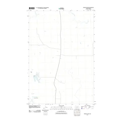 2011 Froelich Dam2011 Print · USGSThe Sioux County plains come into focus in the early twenty-first century, showing a landscape shaped by water management and vast open range. Researchers can trace the drainage of Porcupine Creek and the geography of the Little Heart Flats near Froelich Dam.
 - 2011 Map of Breien, 2011 Print
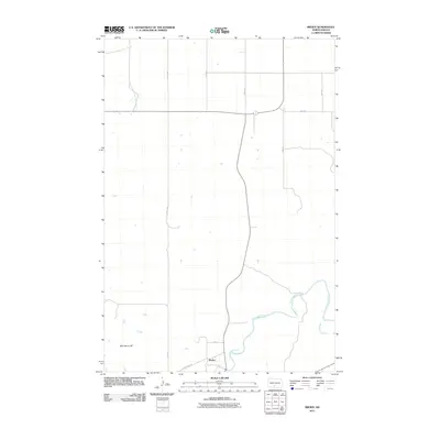 2011 Breien2011 Print · USGSThe Cannonball River valley in Sioux County comes into focus in this early twenty-first-century survey. Trace the rural landscape around Breien, following the winding path of Dogtooth Creek or locating the distinct rise of War Dance Hill.
 - 2011 Map of Keldron, 2011 Print
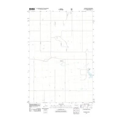 2011 Keldron2011 Print · USGSThe Sioux County prairie comes into focus in the early 2010s, showing a landscape shaped by rural section lines and local water management. Researchers can trace the layout of Keldron and find landmarks like Morristown Lake and the Leonard Wenck Dam.
 - 2011 Map of Pamplin Hills, 2011 Print
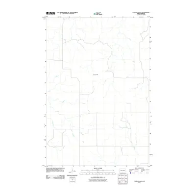 2011 Pamplin Hills2011 Print · USGSThe Porcupine District of Sioux County is captured in this 2011 survey, showing the rural North Dakota landscape in the early twenty-first century. Researchers can trace the drainage of Oak Creek and the varied terrain around the Pamplin Hills.
 - 2011 Map of Lookout Butte SE, 2011 Print
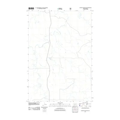 2011 Lookout Butte SE2011 Print · USGSThe Porcupine District of Sioux County is captured here in the early twenty-first century, showing a remote landscape defined by its waterways. Genealogists and researchers can trace the winding courses of Cedar Creek, Roger Creek, and the uniquely named Leaf on the Hill Creek.
 - 2011 Map of Round Top, 2011 Print
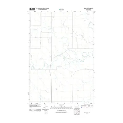 2011 Round Top2011 Print · USGSSioux County's open prairie and winding waterways are captured in the early twenty-first century as agricultural life follows the land's natural contours. Genealogists and land historians can trace property boundaries near Round Top or along the banks of Cedar Creek and Timber Creek.
 - 2011 Map of Timmer, 2011 Print
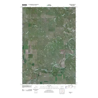 2011 Timmer2011 Print · USGSThe northern plains of Morton County are captured here in the early twenty-first century, centered on the quiet crossroads of Timmer. Researchers can trace the winding Cannonball River and locate family history sites like the Saint George Cemetery and Dogtooth Creek.
 - 2011 Map of Shields, 2011 Print
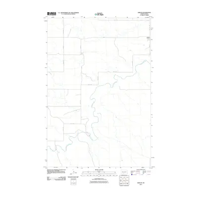 2011 Shields2011 Print · USGSThe rural community of Shields and its surrounding prairie lands are captured here just after the first decade of the new millennium. Researchers can trace the winding Cannonball River and the grid of section roads like 40th Ave SW and 85th St SW.
 - 2011 Map of Pretty Rock Butte SE, 2011 Print
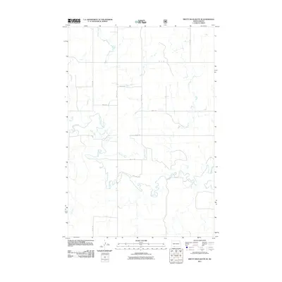 2011 Pretty Rock Butte SE2011 Print · USGSSioux County's open rangeland is documented here in the early twenty-first century, showing the intersection of vital waterways and section roads. Researchers can trace the winding paths of Cedar Creek and Brushy Creek alongside local routes like 90th Ave SW.
 - 2011 Map of Bell Coulee East, 2011 Print
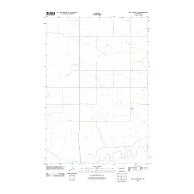 2011 Bell Coulee East2011 Print · USGSSioux County's open plains and river bottoms are documented here in the early twenty-first century. Genealogists and local historians can locate Saint Gabriel Cemetery or trace the winding course of the Cannonball River and Leaf on the Hill Creek.
 - 2011 Map of Porcupine, 2011 Print
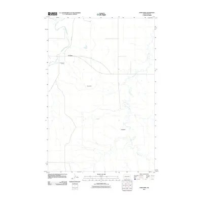 2011 Porcupine2011 Print · USGSThe Porcupine District of Sioux County is captured here in the early twenty-first century, showcasing the rural landscape of the Standing Rock Reservation. Genealogists and local historians can trace the area around Porcupine and Chadwick, or locate the Congregational Cemetery.
 - 2011 Map of Parks Hills, 2011 Print
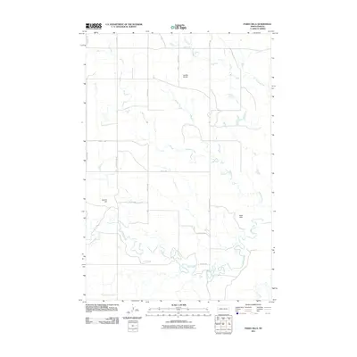 2011 Parks Hills2011 Print · USGSSioux County prairie lands are documented here in the early 21st century, showing the intersection of natural watercourses and the section line road grid. Local researchers can trace the drainages of Cedar Creek and Crooked Creek near Saddle Buttes and Colville Hill.
 - 2011 Map of Shields SW, 2011 Print
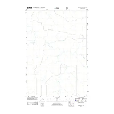 2011 Shields SW2011 Print · USGSThe Porcupine District of Sioux County appears in this 2011 survey as a quiet, open prairie landscape at the start of the decade. Genealogists and local researchers can trace the meandering path of Leaf on the Hill Creek through the rural heart of the Standing Rock Reservation.
 - 2011 Map of Lookout Butte, 2011 Print
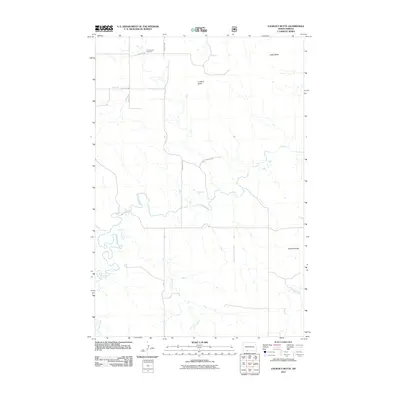 2011 Lookout Butte2011 Print · USGSSioux County's Porcupine District is captured here in the early twenty-first century, showing a landscape defined by prairie buttes and winding creek beds. Genealogists and local historians can locate Communion Cemetery and trace the paths of Cedar Creek and Plum Creek.
 - 2011 Map of Maple Leaf, 2011 Print
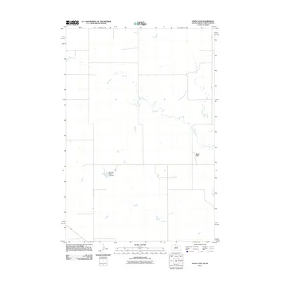 2011 Maple Leaf2011 Print · USGSThe northern Great Plains borderlands appear in high detail during the early 2000s, showing the intersection of tribal land and rural homesteads. Genealogists and historians can trace the paths of Oak Creek and locate the community of Maple Leaf or the Standing Rock Tribe Dam.
 - 2011 Map of Pitt Creek, 2011 Print
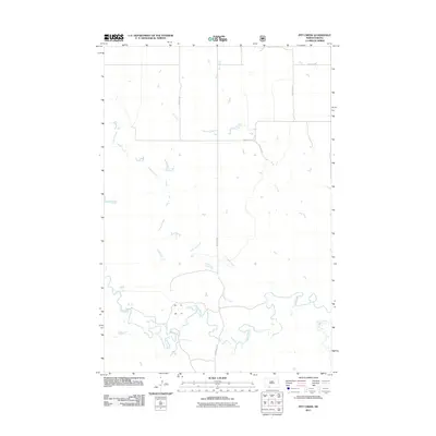 2011 Pitt Creek2011 Print · USGSSioux County's open prairie is documented in the early twenty-first century as it remains defined by its natural watercourses. Genealogists and researchers can trace the rural road network including Watauga Rd and the banks of Crooked Creek or Cedar Creek.
Showing maps 1-25 of 122
Top cities near Porcupine District
Top neighborhoods of Porcupine District
Frequently asked questions
- What are the different types of historical maps available for Porcupine District?
- What is the oldest map of Porcupine District?
- Where can I purchase historical maps of Porcupine District for my home or office?
- Where can I download high-res historical maps of Porcupine District?
- Are there historical topographic maps available for Porcupine District?
- Is there historical aerial imagery available for Porcupine District?
- Where are historical maps of Porcupine District sourced from?