Old Maps of Ohio
Explore old maps of Ohio, spanning from 1892 to today. These high-resolution historic maps reveal how streets, neighborhoods, landmarks, and natural features evolved over time — perfect for genealogy, metal detecting, research, and local history exploration.
What you can do with these maps:
- See how Ohio changed over time: Compare historical maps to modern-day views to trace roads, homesites, rail lines & more.
- View detailed metadata: Each map includes creators, publishers, year, scale, and archive source.
- Overlay maps with satellite & LiDAR: Visualize the past alongside modern tools to explore terrain & human change.
- Trusted historical sources: Maps sourced from the USGS, Library of Congress, and other archives.
- Access maps your way: View online, download high-res files, or order prints for personal or research use.
Start exploring old maps of Ohio to uncover forgotten places, hidden landmarks, and the deep history beneath your feet.
Ohio maps
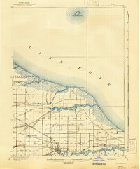
- 1892 Map of Huntington, 1895 Print
 1892 Huntington1895 Print · USGSCovers Ohio, including Huntington, Rome, and other nearby areas
 - 1898 Map of Huntington
 1898 Huntington1898 Print · USGSCovers Ohio, including Huntington, Rome, and other nearby areas3 unique versions available
 - 1898 Map of Ironton, 1955 Print
 1898 Ironton1955 Print · USGSCovers Ohio, including Ironton, Flatwoods, and other nearby areas
 - 1898 Map of East Cincinnati, 1964 Print
 1898 East Cincinnati1964 Print · USGSCovers Ohio, including Cincinnati, Covington, and other nearby areas
 - 1900 Map of Ironton, 1918 Print
 1900 Ironton1918 Print · USGSCovers Ohio, including Ironton, Flatwoods, and other nearby areas2 unique versions available
 - 1900 Map of Maumee Bay, 1921 Print
 1900 Maumee Bay1921 Print · USGSCovers Ohio, including Toledo, Oregon, and other nearby areas2 unique versions available
 - 1900 Map of Toledo, 1932 Print
 1900 Toledo1932 Print · USGSCovers Ohio, including Toledo, Bedford Township, and other nearby areas
 - 1900 Map of Oak Harbor, 1943 Print
 1900 Oak Harbor1943 Print · USGSCovers Ohio, including Oak Harbor, Rocky Ridge, and other nearby areas2 unique versions available
 - 1901 Map of Oberlin, 1952 Print
 1901 Oberlin1952 Print · USGSCovers Ohio, including Lorain, Elyria, and other nearby areas3 unique versions available
 - 1901 Map of Guyandot, 1953 Print
 1901 Guyandot1953 Print · USGSCovers Ohio, including Huntington, Rome, and other nearby areas
 - 1901 Map of Ceredo, 1953 Print
 1901 Ceredo1953 Print · USGSCovers Ohio, including Huntington, Ashland, and other nearby areas2 unique versions available
 - 1901 Map of Cadiz, 1954 Print
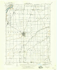
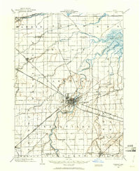
 1901 Cadiz1954 Print · USGSCovers Ohio, including Cadiz, Hopedale, and other nearby areas2 unique versions available
 - 1901 Map of Dublin, 1955 Print
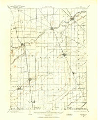
 1901 Dublin1955 Print · USGSCovers Ohio, including Columbus, Dublin, and other nearby areas
 - 1901 Map of Massillon, 1955 Print
 1901 Massillon1955 Print · USGSCovers Ohio, including Akron, Massillon, and other nearby areas2 unique versions available
 - 1901 Map of Canton, 1958 Print
 1901 Canton1958 Print · USGSCovers Ohio, including Canton, Plain, and other nearby areas
 - 1901 Map of Put-In-Bay, 1958 Print
 1901 Put-In-Bay1958 Print · USGSCovers Ohio, including Kingsville, Port Clinton, and other nearby areas
 - 1901 Map of Bellevue, 1958 Print
 1901 Bellevue1958 Print · USGSCovers Ohio, including Sandusky, Clyde, and other nearby areas
 - 1901 Map of Fostoria, 1958 Print
 1901 Fostoria1958 Print · USGSCovers Ohio, including Fostoria, New Riegel, and other nearby areas
 - 1901 Map of Bowling Green, 1958 Print
 1901 Bowling Green1958 Print · USGSCovers Ohio, including Bowling Green, Perrysburg, and other nearby areas
 - 1901 Map of Fremont, 1961 Print
 1901 Fremont1961 Print · USGSCovers Ohio, including Fremont, Green Creek, and other nearby areas
 - 1901 Map of Wooster, 1961 Print
 1901 Wooster1961 Print · USGSCovers Ohio, including Wooster, Wadsworth, and other nearby areas
 - 1901 Map of Elmore, 1961 Print
 1901 Elmore1961 Print · USGSCovers Ohio, including Gibsonburg, Woodville, and other nearby areas
 - 1901 Map of Euclid, 1963 Print
 1901 Euclid1963 Print · USGSCovers Ohio, including Cleveland, Euclid, and other nearby areas
 - 1902 Map of Parkersburg
 1902 Parkersburg1902 Print · USGSCovers Ohio, including Parkersburg, Vienna, and other nearby areas
 - 1902 Map of Wheeling
 1902 Wheeling1902 Print · USGSCovers Ohio, including Wheeling, Martins Ferry, and other nearby areas7 unique versions available
Showing maps 1-25
Top cities of Ohio
- Columbus historical maps
- Cleveland historical maps
- Cincinnati historical maps
- Toledo historical maps
- Akron historical maps
- Dayton historical maps
See more
Top counties of Ohio
- Cuyahoga County historical maps
- Franklin County historical maps
- Hamilton County historical maps
- Summit County historical maps
- Montgomery County historical maps
- Lucas County historical maps
See more
Frequently asked questions
- What are the different types of historical maps available for Ohio?
- What is the oldest map of Ohio?
- Where can I purchase historical maps of Ohio for my home or office?
- Where can I download high-res historical maps of Ohio?
- Are there historical topographic maps available for Ohio?
- Is there historical aerial imagery available for Ohio?
- Where are historical maps of Ohio sourced from?