1960s Maps of Ohio
Explore 750 historic maps of Ohio from the 1960s. These maps offer a rare glimpse into what life looked like during the 1960s — showing old roads, neighborhoods, homes, and landmarks that have changed or disappeared over time.
Whether you're researching your family's past, planning a metal detecting trip, or studying how Ohio's landscape evolved across the 1960s, these high-resolution maps are a powerful tool for exploring the history of this region.
- Focus on a specific era: All maps on this page are from the 1960s, giving you a focused view of this time period.
- See what’s changed: Compare century-old streets, trails, and buildings to today's modern landscape using overlays and satellite layers.
- Research with precision: Use these maps for genealogy, historical research, land use analysis, or educational projects.
- View, download, or print: Maps are fully viewable online in high resolution, and can be downloaded or printed for your own records.
Start exploring Ohio's history through authentic maps from the 1960s. This is your window into the past.
Ohio maps
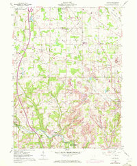
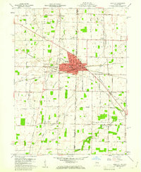
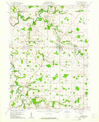
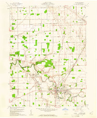
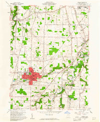
(750)- 1960 Map of Huntington
 1960 Huntington1960 Print · USGSThe tri-state river valley thrived in the late fifties as a hub of heavy industry and Appalachian rail transit. Genealogists and historians can trace the connection between river towns like Ashland and Portsmouth or locate family homesteads near Coleman Ridge.
 - 1960 Map of Elkton
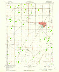
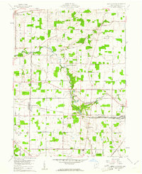
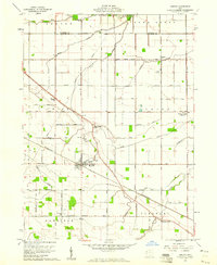
 1960 Elkton1960 Print · USGSColumbiana County at the start of the 1960s shows a landscape defined by coal mining and heavy rail. Genealogists can locate several rural burying grounds like Church Hill Cem and Zepperick Cem alongside the tracks of the Penn Central and Erie-Lackawanna railroads.2 unique versions available
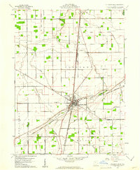
 - 1960 Map of Painesville, 1961 Print
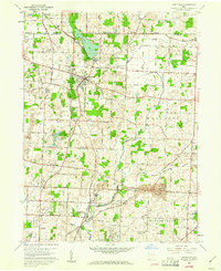
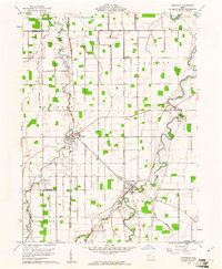
 1960 Painesville1961 Print · USGSPainesville and the surrounding townships of Lake County are captured here just as the suburban era was maturing in the early sixties. Genealogists and local historians can trace family plots in Evergreen Cemetery or locate landmarks like Harvey High Sch and Leroy Center.5 unique versions available
 - 1960 Map of Sherwood, 1961 Print
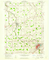
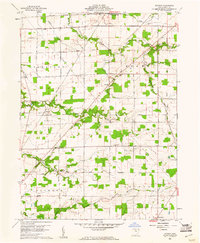
 1960 Sherwood1961 Print · USGSDefiance and Paulding counties appear here at a mid-century peak of rail and river utility, anchored by the junction at Sherwood. Genealogists and local historians can trace family road names and locate rural landmarks like Glore Cem, The Bend, and St Johns Ch.2 unique versions available
 - 1960 Map of Bergholz, 1961 Print
 1960 Bergholz1961 Print · USGSEastern Ohio coal and rail country comes to life in the early sixties as industrial mining expands around the village of Bergholz. Genealogists and researchers can trace family roots at Spyder Cem, Palmer Cem, or the Chestnut Ridge Ch.4 unique versions available
 - 1960 Map of Union City, 1961 Print
 1960 Union City1961 Print · USGSThe Indiana-Ohio border communities are captured here in the early sixties, centered on the bustling rail junction of Union City. Researchers can trace old family sites at Spring Hill Cem, Poplar Grove Ch, and the rural crossroads of New Lisbon.4 unique versions available
 - 1960 Map of Deshler, 1961 Print
 1960 Deshler1961 Print · USGSDeshler and Belmore are captured at the height of their rail-era significance in the early 1960s. Researchers can trace the Baltimore and Ohio rail lines, find community landmarks like Oakdale Ch, and locate family plots at Woodlawn Cem.3 unique versions available
 - 1960 Map of Dillonvale, 1961 Print
 1960 Dillonvale1961 Print · USGSEastern Ohio coal country was in the midst of a mining boom in the early sixties, leaving a landscape defined by industry and deep-seated local roots. Genealogists and historians can trace family locations through numerous sites like St Casimirs Ch, Olszeski Town, and Highland Cem.5 unique versions available
 - 1960 Map of New Madison, 1961 Print
 1960 New Madison1961 Print · USGSWestern Darke County was a busy intersection of rail and agriculture in the early sixties. Genealogists and local historians can trace family land via New Madison, locate the Township Sch, or find ancestors at Greenmound Cem and Otterbine Cem.3 unique versions available
 - 1960 Map of North Kingsville, 1961 Print
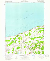 1960 North Kingsville1961 Print · USGSAshtabula County’s lakefront and rail corridors were undergoing steady development in the early sixties. Researchers can trace the path of the New York Central Line and locate landmarks like Gardner Airpark, the Drive-in Theater, and Lulu Falls Cem.3 unique versions available
 - 1960 Map of Albany, 1961 Print
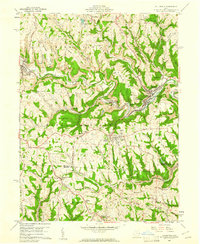
 1960 Albany1961 Print · USGSSoutheastern Ohio at the start of the sixties reveals a landscape of ridge-top farms and growing extractive industry. Genealogists and historians can trace the paths between Albany and Harrisonville, locating family landmarks like Martin Cem, Pearl Chapel, and the New York Central rail line.4 unique versions available
 - 1960 Map of Limaville, 1961 Print
 1960 Limaville1961 Print · USGSStark and Portage counties are captured here at the dawn of the sixties as small villages like Limaville and Marlboro sit amid a busy rail network. Genealogists can locate family sites like St Pauls Cem or trace the old Railroad Grade near Lexington.4 unique versions available
 - 1960 Map of Moundsville, 1961 Print
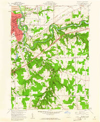
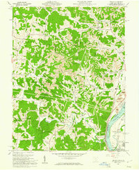
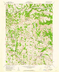
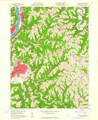 1960 Moundsville1961 Print · USGSMarshall County's riverfront industry and correctional history are on full display in this mid-century survey of the Ohio River valley. Genealogists and researchers can locate the State Penitentiary, trace rural churches on Waymans Ridge, and find local landmarks like the Grave Creek Indian Mound Museum.4 unique versions available
 - 1960 Map of Sycamore, 1961 Print
 1960 Sycamore1961 Print · USGSThe crossroads of Wyandot and Seneca Counties are captured here in 1960, showing a landscape still defined by rail lines and old treaty lines. Trace the Old Indian Treaty Boundary and find rural landmarks like Quaker Hill Cem and Parker Bridge.3 unique versions available
 - 1960 Map of Columbus Grove, 1961 Print
 1960 Columbus Grove1961 Print · USGSColumbus Grove in the early sixties sits at a busy tri-rail junction where the landscape is still marked by the Old Indian Treaty Boundary. Genealogists can trace family lands along Trumbo Road and locate several burial sites like Bogart Cem and Truro Cem.2 unique versions available
 - 1960 Map of Hartville, 1961 Print
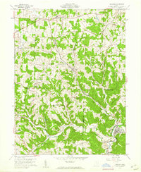
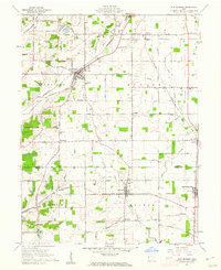
 1960 Hartville1961 Print · USGSHartville and its surrounding townships are shown here in the early sixties, capturing a landscape of family farms, historic cemeteries, and local industry. Genealogists and historians can trace church sites like St Jacobs Ch and old burial grounds including Walnut Grove Sch Cem and Machamer Cem.6 unique versions available
 - 1960 Map of Bluffton, 1961 Print
 1960 Bluffton1961 Print · USGSAgricultural life in Allen and Putnam counties reached a mid-century peak when rail lines and country roads still defined the local economy. Genealogists and historians can trace family-named landmarks like Hilty Cem and institutional hubs such as Bluffton College.4 unique versions available
 - 1960 Map of Ottawa, 1961 Print
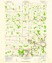
 1960 Ottawa1961 Print · USGSOttawa and Glandorf appear at a mid-century crossroads in this Putnam County survey, where modern developments meet historical land boundaries. Genealogists can locate family sites at SS Peter and Paul Cem or Crow Cem, while rail enthusiasts can trace the Baltimore and Ohio line.3 unique versions available
 - 1960 Map of Addison, 1961 Print
 1960 Addison1961 Print · USGSGallia County and the Ohio River riverfront appear in the early sixties at a peak of coal and power production. Genealogists can trace family names through landmarks like McCarty Cem and Roush Cem or the rural settlement at Eno.4 unique versions available
 - 1960 Map of Smithfield, 1961 Print
 1960 Smithfield1961 Print · USGSJefferson County at the dawn of the sixties shows a landscape transformed by industry and rail. Genealogists can trace family roots through Pine Run Cem and Township Cem, or locate old rail stops like Weems (Smithfield Sta).4 unique versions available
 - 1960 Map of North Robinson, 1961 Print
 1960 North Robinson1961 Print · USGSCrawford County at the start of the sixties shows a landscape defined by the intersection of major railroads and quiet rural hamlets. Genealogists can trace family landmarks like Windfall Cem and Immanuel Ch, or locate the site of the old Drive-In Theater.4 unique versions available
 - 1960 Map of Oberlin, 1961 Print
 1960 Oberlin1961 Print · USGSThe educational hub of Oberlin and the quarries of South Amherst are captured here in the early sixties. Genealogists and local historians can trace family plots in Westwood Cemetery or locate landmarks like the Wellhead Airport and Sacred Heart Ch.
 - 1960 Map of Convoy, 1961 Print
 1960 Convoy1961 Print · USGSSurrounding the rail hub of Convoy in the early 1960s, this area of Van Wert County is a landscape of established family farms and country churches. Researchers can locate the Convoy Union Jr High Sch, find Union Quarries, and trace family roots at St Johns Cem.3 unique versions available
 - 1960 Map of Ottoville, 1961 Print
 1960 Ottoville1961 Print · USGSNorthwestern Ohio's agricultural landscape is seen here in the early sixties, defined by the winding Auglaize River and the old canal route. Genealogists can trace family landmarks and burial sites like St Marys Cem, Antioch Ch, and the hamlet of Muntanna.2 unique versions available
 - 1960 Map of Watson, 1961 Print
 1960 Watson1961 Print · USGSSeneca County's rural townships are captured in the early sixties as they balanced traditional agriculture with mid-century changes like the Tiffin Speedway. Researchers can find legacy sites including McMeen Cem, St Jacobs Ch, and the long-standing Old Indian Treaty Boundary.3 unique versions available
Showing maps 1-25 of 750
Top cities of Ohio
- Columbus historical maps
- Cleveland historical maps
- Cincinnati historical maps
- Toledo historical maps
- Akron historical maps
- Dayton historical maps
See more
Top counties of Ohio
- Cuyahoga County historical maps
- Franklin County historical maps
- Hamilton County historical maps
- Summit County historical maps
- Montgomery County historical maps
- Lucas County historical maps
See more
Frequently asked questions
- What are the different types of historical maps available for Ohio?
- What is the oldest map of Ohio?
- Where can I purchase historical maps of Ohio for my home or office?
- Where can I download high-res historical maps of Ohio?
- Are there historical topographic maps available for Ohio?
- Is there historical aerial imagery available for Ohio?
- Where are historical maps of Ohio sourced from?