1990s Maps of Ohio
Explore 288 historic maps of Ohio from the 1990s. These maps offer a rare glimpse into what life looked like during the 1990s — showing old roads, neighborhoods, homes, and landmarks that have changed or disappeared over time.
Whether you're researching your family's past, planning a metal detecting trip, or studying how Ohio's landscape evolved across the 1990s, these high-resolution maps are a powerful tool for exploring the history of this region.
- Focus on a specific era: All maps on this page are from the 1990s, giving you a focused view of this time period.
- See what’s changed: Compare century-old streets, trails, and buildings to today's modern landscape using overlays and satellite layers.
- Research with precision: Use these maps for genealogy, historical research, land use analysis, or educational projects.
- View, download, or print: Maps are fully viewable online in high resolution, and can be downloaded or printed for your own records.
Start exploring Ohio's history through authentic maps from the 1990s. This is your window into the past.
Ohio maps
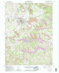
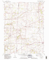
(288)- 1990 Map of Adrian, 1991 Print
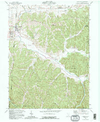
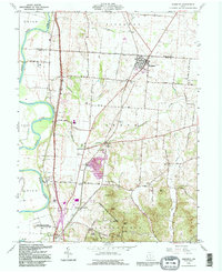
 1990 Adrian1991 Print · USGSThe Michigan and Ohio borderlands come alive in the final decade of the twentieth century, showing the intricate network of glacial lakes and small-town junctions. Genealogists and local researchers can pinpoint family landmarks from Lakeview Cem to the rail sidings of the Conrail and Norfolk Southern lines.
 - 1991 Map of Maysville
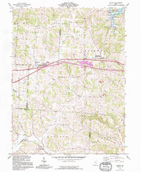
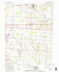
 1991 Maysville1991 Print · USGSThe Ohio River valley at the turn of the nineties reveals a landscape of river-bend towns and dense forest preserves. Trace local history through landmark sites like Confidence Cemetery, the small-town streets of Ripley, and the river reaches of Manchester Island No 1.
 - 1992 Map of Bellefontaine
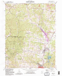
 1992 Bellefontaine1992 Print · USGSWest-central Ohio in the early nineties reveals a blend of high-plateau geography and growing suburban corridors near the state capital. Genealogists can trace family connections to landmarks like Mount Tabor Church, Oak Grove Cemetery, and the high ground of Campbell Hill.
 - 1992 Map of Allensville, 1994 Print
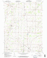
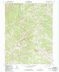 1992 Allensville1994 Print · USGSVinton County's wooded ridges and hollows are captured here in the early nineties, showing a landscape defined by small settlements and resource extraction. Researchers can locate numerous family burial grounds like Curry Cem and historical crossings including the Covered Bridge near Allensville.
 - 1992 Map of Ashville, 1994 Print
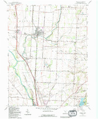 1992 Ashville1994 Print · USGSPickaway County settlement and agriculture are well-documented here during the early nineties as highway corridors expanded near older rail hubs. Researchers can trace family sites and civic history at Ashville, Millport, and the Reber Hill Cem.
 - 1992 Map of Glenford, 1995 Print
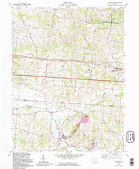 1992 Glenford1995 Print · USGSPerry and Licking counties appear here in the early nineties, showing a landscape shaped by ancient history and the oil industry. Genealogists can trace family landmarks like Ellis Chapel, Highland Cem, and the prominent Indian Mound near Claylick Creek.
 - 1992 Map of Thornville, 1995 Print
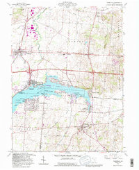 1992 Thornville1995 Print · USGSBuckeye Lake and its surrounding communities are captured here in the early nineties, showing a landscape defined by water and rural heritage. Researchers can trace historic property boundaries like the Refugee Lands line or locate family names at Hebron Cem and Thornville.
 - 1992 Map of Laurelville, 1995 Print
 1992 Laurelville1995 Print · USGSLaurelville and the surrounding Hocking County ridges are shown here in the mid-1990s, capturing the area's rural character and state forest boundaries. Genealogists can trace family landmarks like Schooley Cem, South Perry, and an ancient Indian Mound.
 - 1992 Map of Gratiot, 1995 Print
 1992 Gratiot1995 Print · USGSThe Licking and Muskingum county line comes alive in the early nineties, showing a landscape shaped by both the historic National Road and modern industry. Researchers can trace rural genealogy at Mt Olive Ch Cem or locate the old Mt Sterling post office near active Strip Mines.
 - 1992 Map of Ratcliffburg, 1995 Print
 1992 Ratcliffburg1995 Print · USGSVinton County's creek valleys and forested ridges are captured in the early 1990s, reflecting a landscape defined by small townships and resource extraction. Genealogists can locate family-named sites like Slagle Farm Cem, Scotty Cem, and the old Eagle Mills.
 - 1992 Map of New Plymouth, 1995 Print
 1992 New Plymouth1995 Print · USGSThe Hocking and Vinton County borderlands in the early nineties show a landscape deeply shaped by mining and forestry. Local historians can trace family roots through sites like Millers Chapel and Ilesboro or locate expansive Reclaimed Strip Mine tracts.
 - 1992 Map of New Lexington, 1995 Print
 1992 New Lexington1995 Print · USGSPerry County's coal and gas country is preserved here in the late twentieth century, showing the intersection of industry and rural life. Genealogists can trace family names at Maplewood Cemetery or locate smaller settlements like Moxahala and McCuneville.
 - 1992 Map of Waverly South, 1995 Print
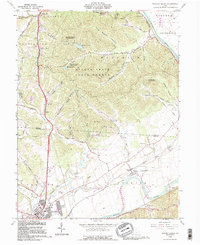
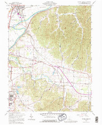 1992 Waverly South1995 Print · USGSPike County's river-bottom farms and heavy industry are captured here in the early nineties, centered on the Scioto valley. Researchers can trace family history through dozens of rural sites like Evergreen Cem, Zahns Corners, and the historic Piketon Sch.
 - 1992 Map of Lockbourne, 1995 Print
 1992 Lockbourne1995 Print · USGSThe Scioto River valley south of Columbus appears here during the early nineties, showing the intersection of military history and rural tradition. Genealogists can trace family landmarks like Fernwood Cem, St Vincents Ch, and the remnants of the Ohio Canal.
 - 1992 Map of Logan, 1995 Print
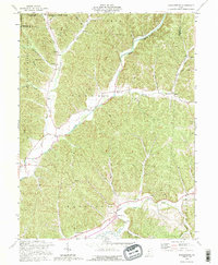
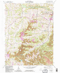
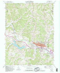 1992 Logan1995 Print · USGSThe Hocking River valley in the early nineties shows a busy transition between the industrial hub of Logan and the recreational waters of Lake Logan. Local researchers can locate numerous historic country churches and burial grounds, including Antioch Cem, Bethany Ch, and the Marion Sch Cem.
 - 1992 Map of Kingston, 1995 Print
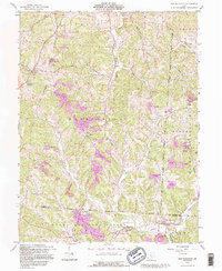
 1992 Kingston1995 Print · USGSNear the northern edge of Ross County in the early nineties, this area showcases the confluence of historical earthworks and modern transit. Researchers can trace ancestral sites at Mt Pleasant Cem, explore the grounds of Hopewell Culture National Historical Park, or locate the old Centralia Sch.
 - 1992 Map of Fultonham, 1995 Print
 1992 Fultonham1995 Print · USGSThe hill country of Perry and Muskingum Counties comes into focus in the early nineties, revealing a landscape defined by mining and forest. Genealogists can trace family names at Uniontown Cem, Madison Sch, and Wesley Chapel.
 - 1992 Map of Clear Lake, 1995 Print
 1992 Clear Lake1995 Print · USGSThe tri-state border region of Indiana, Michigan, and Ohio is captured here as it appeared in the late twentieth century. Researchers can trace family sites like Teeters Cem and Rogers Cem or locate community hubs such as Billingstown and Clear Lake Ch.
 - 1992 Map of Mineral, 1995 Print
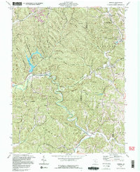 1992 Mineral1995 Print · USGSVinton and Athens counties are shown here in the 1990s, where public forest lands and historic iron industry sites meet. Researchers can locate the Hope Furnace ruins, the Chesapeake and Ohio railroad, and numerous family cemeteries like Brooks Cem.2 unique versions available
 - 1992 Map of Waverly North, 1995 Print
 1992 Waverly North1995 Print · USGSThe Scioto River valley comes alive in this early 1990s record of the Ross and Pike County borderlands. Researchers can trace the path of the Erie Canal (Abandoned) or locate family burial grounds like Sugar Tree Cem and Corwine Cem.
 - 1992 Map of East Ringgold, 1995 Print
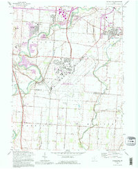
 1992 East Ringgold1995 Print · USGSFairfield and Pickaway counties are shown in the 1990s, revealing a landscape of rural crossroads and historic cemeteries. Genealogists can trace East Union Cem, Ritter Cem, and family-named landmarks like Cedar Hill and Royalton.
 - 1992 Map of Pataskala, 1995 Print
 1992 Pataskala1995 Print · USGSLicking and Fairfield counties are shown during a period of suburban expansion in the early nineties, centered on the historic Refugee Tract. Genealogists can trace family connections at Mt Zion Ch, Wagram, and the Union Cem along the old National Road.
 - 1992 Map of Hamden, 1995 Print
 1992 Hamden1995 Print · USGSHamden and the surrounding forest lands of Vinton and Jackson Counties are shown here during a period of industrial activity and outdoor recreation. Researchers can locate family landmarks like Cassill Cem, the historic Richland Furnace, and the prominent Reed Hill Lookout Tower.
 - 1992 Map of Spartanburg, 1995 Print
 1992 Spartanburg1995 Print · USGSThe Indiana-Ohio borderlands near the close of the twentieth century remain a landscape of small farming hamlets and historic township lines. Genealogists can trace family roots through sites like Beech Ch, Clemens Cem, and the old settlement at Arba.
 - 1992 Map of Shade, 1995 Print
 1992 Shade1995 Print · USGSThe rural hills of southeastern Ohio are captured here in the early nineties, showing a landscape defined by ridgeline roads and deep creek valleys. Genealogists and historians can trace family names at Jerseyville Cem, find old rural outposts like Burlingham Sch, and follow the winding Pratts Fork.
Showing maps 1-25 of 288
Top cities of Ohio
- Columbus historical maps
- Cleveland historical maps
- Cincinnati historical maps
- Toledo historical maps
- Akron historical maps
- Dayton historical maps
See more
Top counties of Ohio
- Cuyahoga County historical maps
- Franklin County historical maps
- Hamilton County historical maps
- Summit County historical maps
- Montgomery County historical maps
- Lucas County historical maps
See more
Frequently asked questions
- What are the different types of historical maps available for Ohio?
- What is the oldest map of Ohio?
- Where can I purchase historical maps of Ohio for my home or office?
- Where can I download high-res historical maps of Ohio?
- Are there historical topographic maps available for Ohio?
- Is there historical aerial imagery available for Ohio?
- Where are historical maps of Ohio sourced from?