2010s Maps of Custer County, Oklahoma
Explore 111 historic maps of Custer County from the 2010s. These maps offer a rare glimpse into what life looked like during the 2010s — showing old roads, neighborhoods, homes, and landmarks that have changed or disappeared over time.
Whether you're researching your family's past, planning a metal detecting trip, or studying how Custer County's landscape evolved across the 2010s, these high-resolution maps are a powerful tool for exploring the history of this region.
- Focus on a specific era: All maps on this page are from the 2010s, giving you a focused view of this time period.
- See what’s changed: Compare century-old streets, trails, and buildings to today's modern landscape using overlays and satellite layers.
- Research with precision: Use these maps for genealogy, historical research, land use analysis, or educational projects.
- View, download, or print: Maps are fully viewable online in high resolution, and can be downloaded or printed for your own records.
Start exploring Custer County's history through authentic maps from the 2010s. This is your window into the past.
Custer County, OK maps
(111)- 2010 Map of Rough Creek, 2010 Print
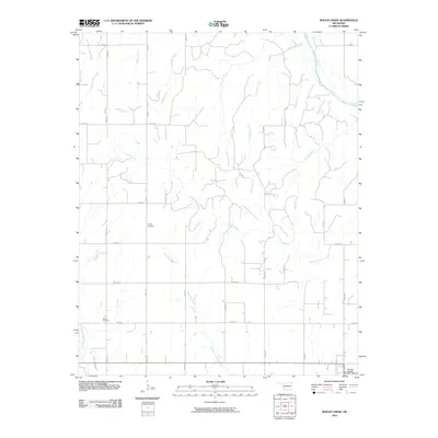 2010 Rough Creek2010 Print · USGSCuster County's agricultural heartland is documented here in the early twenty-first century, showing a landscape defined by its section-line roads and creek beds. Genealogists can locate family landmarks like Forney Cemetery and Bethel Cemetery among the winding waters of Rough Creek.
 - 2010 Map of Rhea, 2010 Print
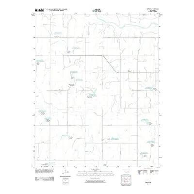 2010 Rhea2010 Print · USGSThis Dewey County landscape is defined by its extensive watershed management at the end of the first decade of the 2000s. Genealogists and local researchers can pinpoint significant burial sites like the German Cemetery, Center Point Cemetery, and Osceola Cemetery.
 - 2010 Map of Big Kiowa Creek, 2010 Print
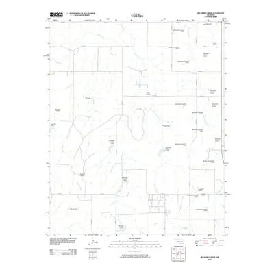 2010 Big Kiowa Creek2010 Print · USGSRoger Mills County in the early twenty-first century is a landscape defined by prairie water management and quiet rural history. Researchers can trace ancestral sites at Red Hill Cemetery or explore the many flood-control works like Whiteshield Creek Site 18 Dam and Big Kiowa Creek Site 6 Dam.
 - 2010 Map of Hammon, 2010 Print
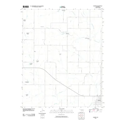 2010 Hammon2010 Print · USGSHammon and the Washita River valley are captured in the early 2000s, showing a landscape defined by water management and rural grid roads. Genealogists and local historians can locate Barker Cemetery and trace the many conservation structures like Hughes Dam and Quartermaster Site 18 Dam.
 - 2010 Map of Corn, 2010 Print
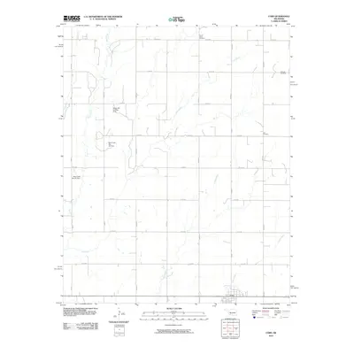 2010 Corn2010 Print · USGSWashita County's agricultural heartland is documented here in the early twenty-first century, centered on the settlement of Corn. Local researchers can locate family heritage sites like Krimmer Cemetery or trace the drainage of Gyp Creek and Coffee Creek.
 - 2010 Map of Foss, 2010 Print
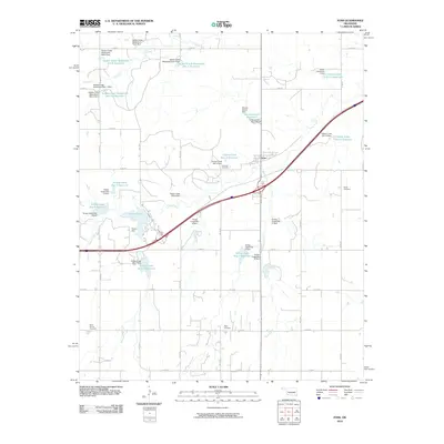 2010 Foss2010 Print · USGSWashita County is captured in the early 2000s, showing a landscape defined by its managed waterways and rural crossroads. Researchers can locate burial sites like Old Foss Cemetery and trace the extensive watershed system including Clinton Lake.
 - 2010 Map of Leedey SW, 2010 Print
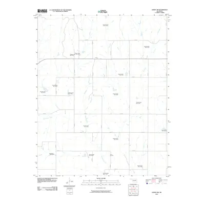 2010 Leedey SW2010 Print · USGSWestern Oklahoma ranchlands and rural sections come alive in this 2010 survey of the area near Angora. Researchers can trace the drainage of Quartermaster Creek through an extensive network of dams, find the Dewey Cemetery, or navigate the grid of E0840 RD.
 - 2010 Map of Canute, 2010 Print
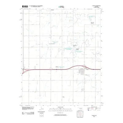 2010 Canute2010 Print · USGSCanute and the surrounding Beckham County plains are documented here just as the modern highway system overtook the legendary Route 66 corridor. Genealogists and local historians can locate early burial sites like Holy Family Cemetery and Hebron Cemetery or trace the drainage of Oak Creek.
 - 2010 Map of Indianapolis, 2010 Print
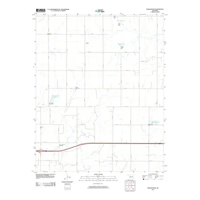 2010 Indianapolis2010 Print · USGSOklahoma's rural landscapes and water infrastructure are on display here in the early twenty-first century. Genealogists and local historians can trace landmarks like Mount Hope Cemetery and the Red Rock School along the historic corridor of Rte 66 Hwy.
 - 2010 Map of Leedey, 2010 Print
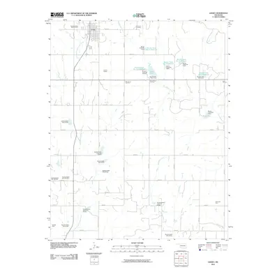 2010 Leedey2010 Print · USGSLeedey and its surrounding rural townships are mapped here in the first decade of the new millennium. Researchers can trace family history at Evergreen Cemetery or New Herman Cemetery and locate numerous local landmarks like Haxton Airport and Leedey Lake.
 - 2010 Map of Putnam, 2010 Print
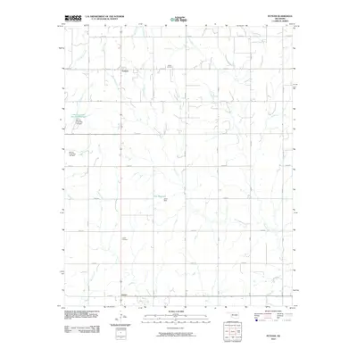 2010 Putnam2010 Print · USGSDewey County at the start of the millennium reflects a landscape defined by sectional farming and modern water management. Genealogists and local historians can trace family locations near Merck Cemetery, Liberty Cemetery, and the community of Putnam.
 - 2010 Map of Butler, 2010 Print
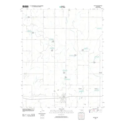 2010 Butler2010 Print · USGSCuster County agricultural lands were heavily managed by the early twenty-first century, featuring a dense network of water control structures. You can trace family history at Shiloh Cemetery and Osceola Cemetery, or explore the many reservoirs like Barnitz Creek Site 43 Reservoir.
 - 2010 Map of Stafford, 2010 Print
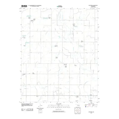 2010 Stafford2010 Print · USGSCuster County's agricultural heartland is documented here in the early twenty-first century, showing the rural communities and water infrastructure of the plains. Genealogists and local historians can locate Valley View Cemetery, the Sunnyside Community Hall, and the small settlements of Stafford and Ralph.
 - 2010 Map of Clinton, 2010 Print
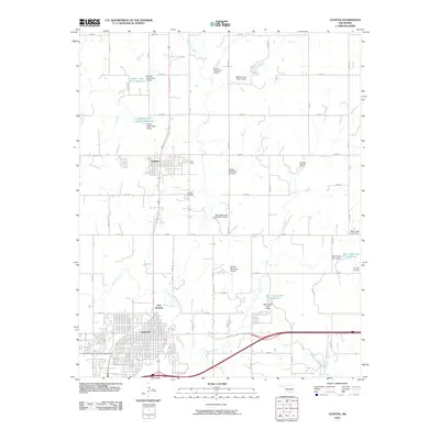 2010 Clinton2010 Print · USGSThe city of Clinton and the town of Arapaho are shown in the early twenty-first century as vital hubs in Western Oklahoma. Researchers can trace the local landscape through landmarks like the Arapaho Cemetery, Dripping Springs Camp, and the reservoirs of Beaver Creek.
 - 2010 Map of Anthon, 2010 Print
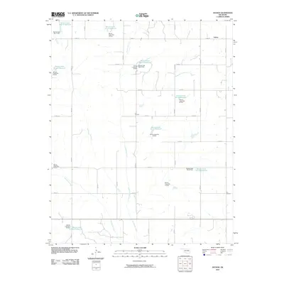 2010 Anthon2010 Print · USGSCuster County land management is on full display in the decade before the fracking boom, centered on the Anthon vicinity. Researchers can trace the extensive network of reservoirs and find family roots at the Gyp Cemetery or Sare Cemetery.
 - 2010 Map of Aledo, 2010 Print
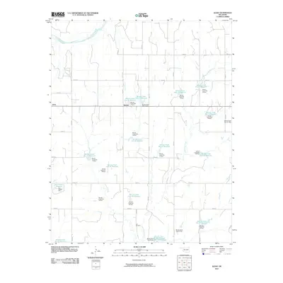 2010 Aledo2010 Print · USGSThis Dewey County landscape during the early 2000s showcases a rural community defined by the Canadian River and an intricate network of water management. Researchers can trace the local road grid to Aledo, Burmah, and the Elm Cemetery or study the extensive chain of numbered Barnitz Creek reservoirs.
 - 2010 Map of Bessie, 2010 Print
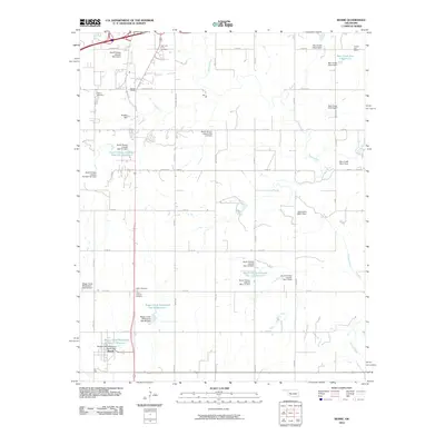 2010 Bessie2010 Print · USGSCuster County's agricultural heartland is documented here in the early twenty-first century, showing the intersection of rural life and water engineering. Researchers can locate several burial sites, including John Old Crow Cemetery, or trace local history at Chapel Hill School and Fransen Siding.
 - 2010 Map of Custer City, 2010 Print
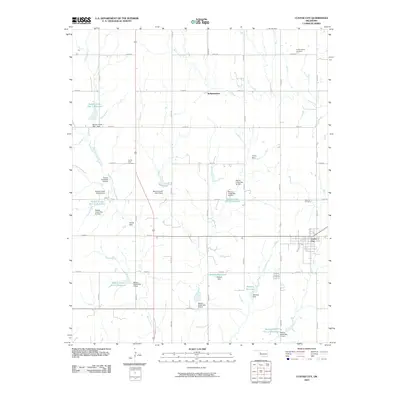 2010 Custer City2010 Print · USGSCuster City and the surrounding plains are captured in the early twenty-first century, showing a landscape defined by local water management and rural roads. Researchers can trace family history at the Masonic Cemetery or locate old community hubs like Independence and Haskett Reservoir.
 - 2010 Map of Dill City NE, 2010 Print
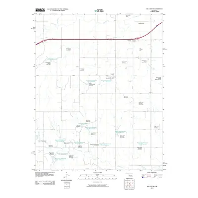 2010 Dill City NE2010 Print · USGSCuster County agricultural life and water management are on full display in this 2010 study of the Oklahoma plains. Researchers can trace rural landmarks including the Parkersburg School, Parkersburg Cemetery, and the extensive Boggy Creek reservoir system.
 - 2010 Map of Weatherford, 2010 Print
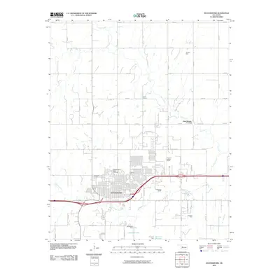 2010 Weatherford2010 Print · USGSWeatherford and the surrounding Custer County prairie are captured here during a period of modern expansion along the I-40 corridor. Researchers can trace the layout of Southwestern State University, locate the storied Dead Women Crossing, or find family sites at Bradley Cemetery.
 - 2010 Map of Clinton NE, 2010 Print
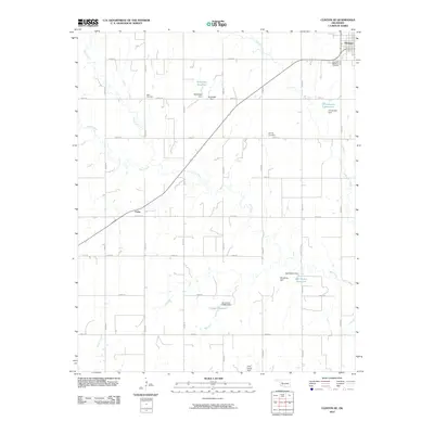 2010 Clinton NE2010 Print · USGSNorthwest of Clinton, this western Oklahoma community centers on the town of Thomas and the smaller settlement of Foley during the early 2000s. Researchers can locate several family-named landmarks and burial grounds, such as Mound Valley Cemetery, Beck Cemetery, and the Woldridge Reservoir.
 - 2010 Map of Carpenter, 2010 Print
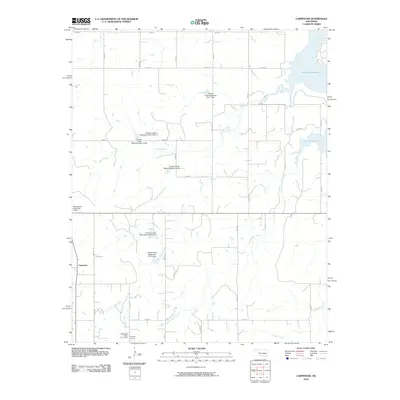 2010 Carpenter2010 Print · USGSCarpenter and the surrounding Roger Mills County plains are captured here in the early twenty-first century as a landscape of managed waterways and rural homesteads. Genealogists can locate the Thompson Cemetery and Thompson Pixlee Cemetery south of town, near the banks of Little Panther Creek.
 - 2010 Map of McClure, 2010 Print
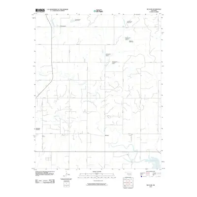 2010 McClure2010 Print · USGSWestern Oklahoma farmland and complex water management systems are on display in this contemporary survey of the Washita River valley. Researchers can trace the rural landscape through family-named roads to Bethel Cemetery or the historic settlement areas of McClure and Moorewood.
 - 2010 Map of Foss Dam, 2010 Print
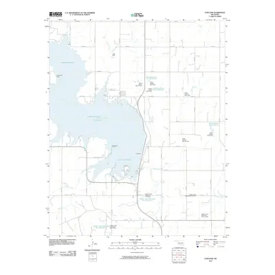 2010 Foss Dam2010 Print · USGSCuster County was defined by its water management and agricultural infrastructure in the early twenty-first century. Genealogists and local historians can trace the location of Edwardsville Cemetery or explore the drainage of the Washita River and Foss Dam.
 - 2012 Map of Hammon, 2012 Print
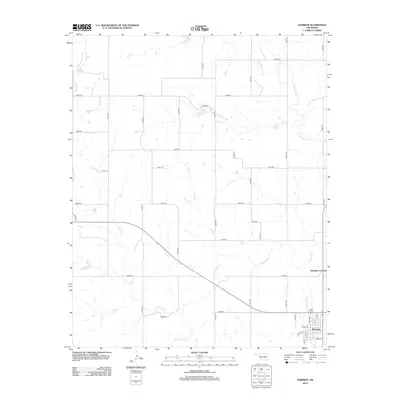 2012 Hammon2012 Print · USGSHammon and its surrounding river valley are shown in detail during the early twenty-first century. Genealogists and researchers can locate Barker Cem and trace the paths of Ninemile Cr and Washita River through the sectioned plains.
Showing maps 1-25 of 111
Top cities of Custer County
- Weatherford historical maps
- Clinton historical maps
- Thomas historical maps
- Arapaho historical maps
- Custer City historical maps
- Butler historical maps
Frequently asked questions
- What are the different types of historical maps available for Custer County?
- What is the oldest map of Custer County?
- Where can I purchase historical maps of Custer County for my home or office?
- Where can I download high-res historical maps of Custer County?
- Are there historical topographic maps available for Custer County?
- Is there historical aerial imagery available for Custer County?
- Where are historical maps of Custer County sourced from?