2010s Maps of Grant County, Oklahoma
Explore 85 historic maps of Grant County from the 2010s. These maps offer a rare glimpse into what life looked like during the 2010s — showing old roads, neighborhoods, homes, and landmarks that have changed or disappeared over time.
Whether you're researching your family's past, planning a metal detecting trip, or studying how Grant County's landscape evolved across the 2010s, these high-resolution maps are a powerful tool for exploring the history of this region.
- Focus on a specific era: All maps on this page are from the 2010s, giving you a focused view of this time period.
- See what’s changed: Compare century-old streets, trails, and buildings to today's modern landscape using overlays and satellite layers.
- Research with precision: Use these maps for genealogy, historical research, land use analysis, or educational projects.
- View, download, or print: Maps are fully viewable online in high resolution, and can be downloaded or printed for your own records.
Start exploring Grant County's history through authentic maps from the 2010s. This is your window into the past.
Grant County, OK maps
(85)- 2010 Map of Kremlin, 2010 Print
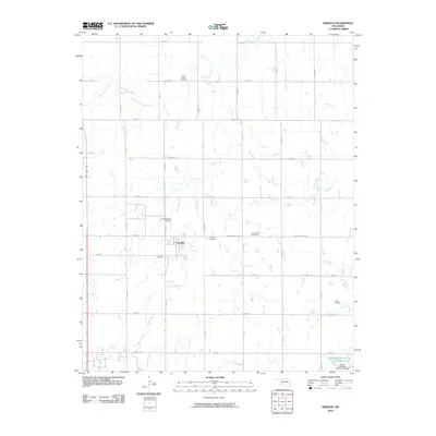 2010 Kremlin2010 Print · USGSGarfield County at the turn of the decade is captured here through its grid-iron road system and energy production. Genealogists and local historians can locate Valley Center Cemetery, the East Kremlin Gas Field, and the FW Zaloudek Airport near the town of Kremlin.
 - 2010 Map of Hunter, 2010 Print
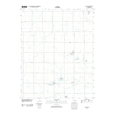 2010 Hunter2010 Print · USGSGarfield County at the start of the 21st century reveals a landscape where prairie agriculture meets intensive energy production. Researchers can trace the legacy of local families at Mount Pleasant Cemetery and map the footprint of the South Hunter Oil and Gas Field or the waters of Thompson Lake.
 - 2010 Map of Deer Creek, 2010 Print
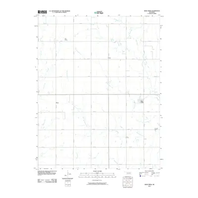 2010 Deer Creek2010 Print · USGSDeer Creek and Numa anchor this northern Oklahoma agricultural landscape during the early twenty-first century. Genealogists and researchers can locate family sites near Saint Marys Cemetery or trace the drainage of Big Antelope Creek and the South Deer Creek Oil Field.
 - 2010 Map of Hillsdale, 2010 Print
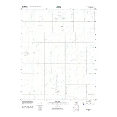 2010 Hillsdale2010 Print · USGSThe rural Garfield County landscape around Hillsdale is revealed here in the early twenty-first century, showing a highly organized grid of section-line roads. Researchers can trace the drainage of Ninemile Canyons or locate localized infrastructure like Oknoname 04705 Reservoir and Sand Creek.
 - 2010 Map of Nardin, 2010 Print
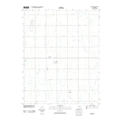 2010 Nardin2010 Print · USGSThe Kay County plains around the turn of the millennium are defined by a mix of agriculture and energy extraction. Researchers can locate Mount Olive Cemetery, the settlement of Nardin, and several regional petroleum zones like the Deer Creek Oil Field.
 - 2010 Map of Lamont SE, 2010 Print
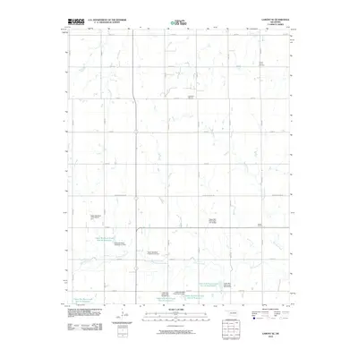 2010 Lamont SE2010 Print · USGSGarfield County at the turn of the century shows a landscape defined by water management and rural industry. Genealogists and researchers can locate Mount Vernon Cemetery, Heitholt Cemetery, and the Southeast Salt Fork Oil Field.
 - 2010 Map of Pond Creek NW, 2010 Print
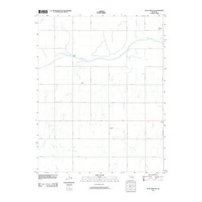 2010 Pond Creek NW2010 Print · USGSGrant County's rural landscape is captured here in the early twenty-first century, centered on the winding Salt Fork Arkansas River. Local historians can trace family ties at the Friends Cemetery or locate the community hub at Riverdale Community Hall.
 - 2010 Map of Wakita, 2010 Print
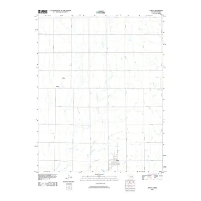 2010 Wakita2010 Print · USGSNorthern Oklahoma's agricultural heartland is documented here just after the first decade of the millennium. Researchers can locate the Gibbon Cemetery and trace the paths of Crooked Creek and Duel Creek as they meander through the prairie near Wakita.
 - 2010 Map of Wakita NE, 2010 Print
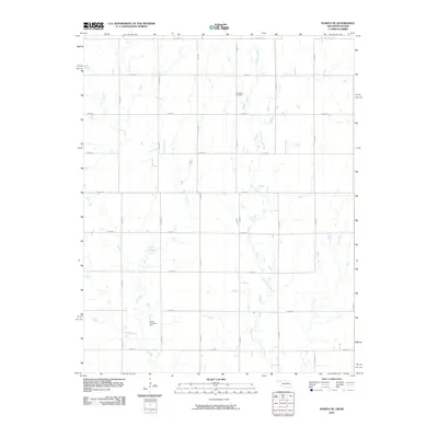 2010 Wakita NE2010 Print · USGSThe Oklahoma-Kansas borderlands are captured here in the 2010s, showing a rural landscape defined by agriculture and energy. Genealogists can locate Springdale Cemetery while historians trace the extent of the Wakita Trend Gas Field and the paths of Osage Creek.
 - 2010 Map of Manchester, 2010 Print
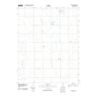 2010 Manchester2010 Print · USGSThis northern Oklahoma borderlands map shows the landscape around Manchester as it appeared in the early twenty-first century. Genealogists and local historians can locate Saints Peter and Paul Cemetery and private airstrips like McCrays Airport and Miller Brothers Airport.
 - 2010 Map of Medford NE, 2010 Print
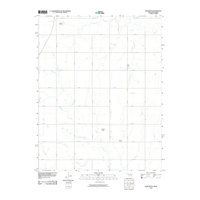 2010 Medford NE2010 Print · USGSThe Oklahoma-Kansas borderlands were defined by rural industry and family legacy during the early twenty-first century. Genealogists and historians can trace local roots at Spring Creek Cemetery and Williams Cemetery or locate the Southeast Renfrow Oil Field.
 - 2010 Map of Renfrow, 2010 Print
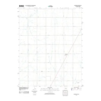 2010 Renfrow2010 Print · USGSRenfrow and the surrounding Grant County plains are shown in detail as they appeared during the early twenty-first century. Genealogists and local historians can locate the Richland Cemetery and trace the paths of Wolf Creek and Polecat Creek across the agricultural grid.
 - 2010 Map of Blackwell NW, 2010 Print
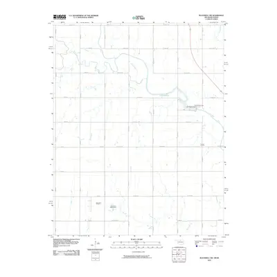 2010 Blackwell NW2010 Print · USGSThe Kansas-Oklahoma borderlands appear here in the early twenty-first century as a landscape of productive oil fields and managed waterways. Researchers can locate the Triumph Cemetery or trace the industrial footprint of the Webb North Oil Field and Lake Blackwell.
 - 2012 Map of Jet SE, 2012 Print
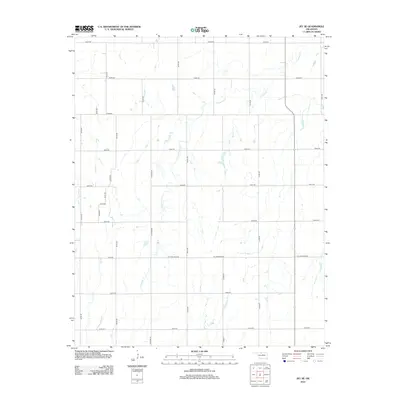 2012 Jet SE2012 Print · USGSGarfield County's rural plains are captured here in the early twenty-first century, showing a landscape defined by an exacting grid of section-line roads and prairie drainages. Researchers can trace the path of Coldwater Cr and locate local routes like N Stabe Rd or W H Holdden Rd.
 - 2012 Map of Manchester, 2012 Print
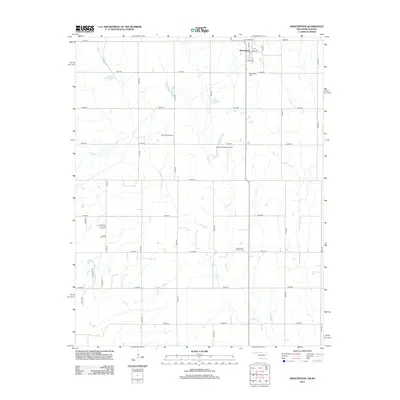 2012 Manchester2012 Print · USGSThe northern edge of Grant County is captured in this 2012 survey as it borders the Kansas state line. Genealogists and researchers can trace the township grid through Manchester and locate local landmarks like Manchester Cem and Mc Crays Airport.
 - 2012 Map of Sand Creek, 2012 Print
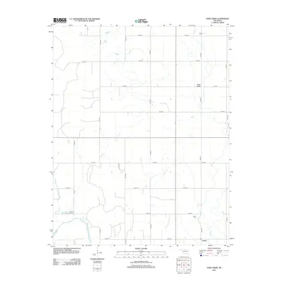 2012 Sand Creek2012 Print · USGSGrant County, Oklahoma, is documented here in the early 2010s, showing a prairie landscape shaped by the Salt Fork Arkansas River. Genealogists and local historians can trace burial sites at Fairview Cem and Hawley Cem near the small community of Hawley.
 - 2012 Map of Wakita SE, 2012 Print
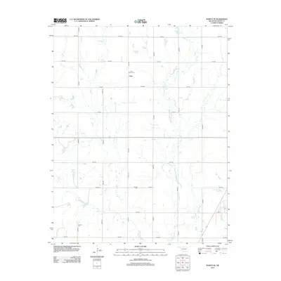 2012 Wakita SE2012 Print · USGSOklahoma's northern plains are captured here in the early twenty-first century, showing a landscape defined by traditional section-line farming. Genealogists can locate several local burial sites including Saint Anthony Cem, Fairview Cem, and Klondike Cem near the small settlement of Clyde.
 - 2012 Map of Medford NE, 2012 Print
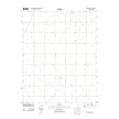 2012 Medford NE2012 Print · USGSSumner County at the start of the twenty-first century reveals a landscape defined by traditional agriculture and the petroleum industry. Researchers can trace family roots at Spring Creek Cem or locate the Southeast Renfrow Oil Field and the Cherokee Strip Bridge.
 - 2012 Map of Blackwell NW, 2012 Print
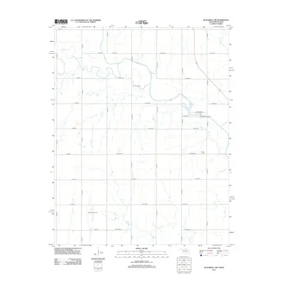 2012 Blackwell NW2012 Print · USGSThe Kansas-Oklahoma state line area is captured here during the early twenty-first century, showing a rural landscape shaped by agriculture and energy. Genealogists and historians can locate the Triumph Cem, trace the waters of Bluff Cr, or examine the footprints of the Webb North Oil Field.
 - 2012 Map of Lamont SE, 2012 Print
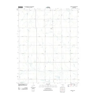 2012 Lamont SE2012 Print · USGSGarfield County, Oklahoma, is shown in the early 2010s as a landscape shaped by petroleum and water management. You can locate rural burial sites like Mt Vernon Cem and Heitholt Cem alongside the Southeast Salt Fork Oil Field.
 - 2012 Map of Nardin, 2012 Print
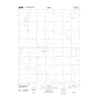 2012 Nardin2012 Print · USGSKay County, Oklahoma, is shown in the early twenty-first century as a landscape of energy extraction and structured prairie farming. Researchers can locate the Mt Olive Cem and trace the footprints of the North Nardin Oil and Gas Field and Deer Creek Oil Field.
 - 2012 Map of Pond Creek NW, 2012 Print
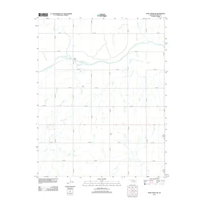 2012 Pond Creek NW2012 Print · USGSGrant County, Oklahoma, is shown in the early twenty-first century as a landscape of section-line roads and prairie tributaries. Genealogists can trace family roots at Friends Cem or Mt Zion Cem and locate landmarks like Hixson Bridge.
 - 2012 Map of Billings, 2012 Print
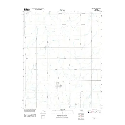 2012 Billings2012 Print · USGSOklahoma's wheat and oil country comes into sharp focus during the early twenty-first century, centered on the community of Billings. Genealogists and historians can trace local sites such as Billings Union Cem, the East Billings Oil Field, and the outlying settlement of Polk.
 - 2012 Map of Wakita NE, 2012 Print
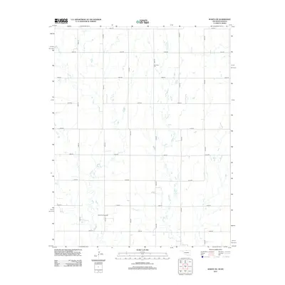 2012 Wakita NE2012 Print · USGSThe northern Oklahoma and southern Kansas borderlands appear here in the early twenty-first century as a landscape of structured ranching and energy production. Researchers can locate the Springdale Cem and trace the reaches of the Wakita Trend Gas Field across the prairie.
 - 2012 Map of Medford, 2012 Print
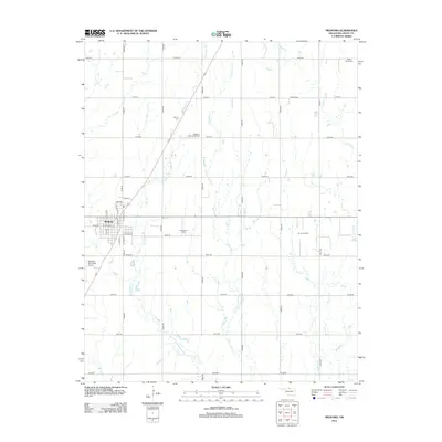 2012 Medford2012 Print · USGSMedford and the surrounding Grant County prairies are shown here during the early twenty-first century as a landscape of agriculture and oil. Researchers can trace family history through several local sites, including Rosemound Cem, Czecko Slovak Cem, and the Numa Oil Field.
Showing maps 1-25 of 85
Top cities of Grant County
- Medford historical maps
- Pond Creek historical maps
- Lamont historical maps
- Wakita historical maps
- Nash historical maps
- Deer Creek historical maps
See more
Frequently asked questions
- What are the different types of historical maps available for Grant County?
- What is the oldest map of Grant County?
- Where can I purchase historical maps of Grant County for my home or office?
- Where can I download high-res historical maps of Grant County?
- Are there historical topographic maps available for Grant County?
- Is there historical aerial imagery available for Grant County?
- Where are historical maps of Grant County sourced from?