2010s Maps of Lincoln County, Oklahoma
Explore 113 historic maps of Lincoln County from the 2010s. These maps offer a rare glimpse into what life looked like during the 2010s — showing old roads, neighborhoods, homes, and landmarks that have changed or disappeared over time.
Whether you're researching your family's past, planning a metal detecting trip, or studying how Lincoln County's landscape evolved across the 2010s, these high-resolution maps are a powerful tool for exploring the history of this region.
- Focus on a specific era: All maps on this page are from the 2010s, giving you a focused view of this time period.
- See what’s changed: Compare century-old streets, trails, and buildings to today's modern landscape using overlays and satellite layers.
- Research with precision: Use these maps for genealogy, historical research, land use analysis, or educational projects.
- View, download, or print: Maps are fully viewable online in high resolution, and can be downloaded or printed for your own records.
Start exploring Lincoln County's history through authentic maps from the 2010s. This is your window into the past.
Lincoln County, OK maps
(113)- 2010 Map of Cushing, 2010 Print
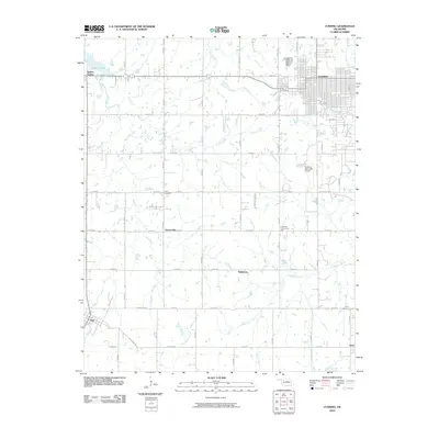 2010 Cushing2010 Print · USGSThe Oklahoma prairie surrounding the oil crossroads of Cushing comes into focus in this late 2000s survey. Researchers can trace rural family roots at Flynn Cemetery or locate old community gathering points like Lone Oak Community Hall and the settlement of Wildhorse.
 - 2010 Map of Drumright, 2010 Print
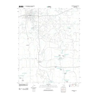 2010 Drumright2010 Print · USGSCreek County in the early twenty-first century reveals a landscape shaped by water management and rural ranching south of the historic oil town of Drumright. Genealogists and researchers can locate Shamrock Cemetery, the South Side Cemetery, and the Double Bar S Ranches Airport among the many reservoirs of the Little Deep Fork Creek system.
 - 2010 Map of Chandler, 2010 Print
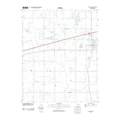 2010 Chandler2010 Print · USGSChandler and the surrounding Lincoln County countryside are captured here in the early twenty-first century as the region balanced interstate growth with its rural roots. Genealogists can locate several family burial grounds including Mount Moriah and Star Valley Cemetery.
 - 2010 Map of Paden, 2010 Print
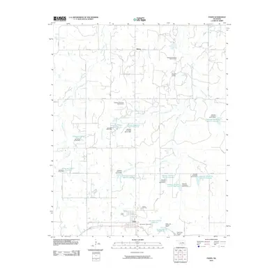 2010 Paden2010 Print · USGSPaden and the surrounding Okfuskee County countryside are shown here in the early twenty-first century, defined by a complex network of reservoirs and oil fields. Genealogists and local historians can locate Oakdale Cemetery, the small community of Midway, and the Southeast Laffoon Oil Field.
 - 2010 Map of Aydelotte, 2010 Print
 2010 Aydelotte2010 Print · USGSNorth of Shawnee in the early 2000s, this area of Oklahoma shows a landscape shaped by petroleum and water management. Researchers can trace family history at New Salem Cemetery or Centerville Cemetery and locate energy sites like the West Red Hill Oil and Gas Field.
 - 2010 Map of Carney, 2010 Print
 2010 Carney2010 Print · USGSThe community of Carney and its surrounding rural townships are shown here in the early twenty-first century. Genealogists can trace family burial sites at Bethlehem Cemetery and Forest Cemetery, or locate vanished stops like Dudley and Belton.
 - 2010 Map of Arlington, 2010 Print
 2010 Arlington2010 Print · USGSThe rural landscape of Lincoln County comes into focus in this 2010 study of the area near Prague. Researchers can trace local heritage through numerous family burial sites like Kellerby Cemetery and Guild Cemetery or explore the waters of Prague Lake.
 - 2010 Map of Harrah, 2010 Print
 2010 Harrah2010 Print · USGSThe Oklahoma City outskirts near Harrah and Newalla are shown here as they appeared in 2010. Genealogists and local historians can trace family-named roads like DAVIS RD and FERGUSON DR or locate local landmarks like the World Bible Church and Steciak Strip.
 - 2010 Map of Horseshoe Lake, 2010 Print
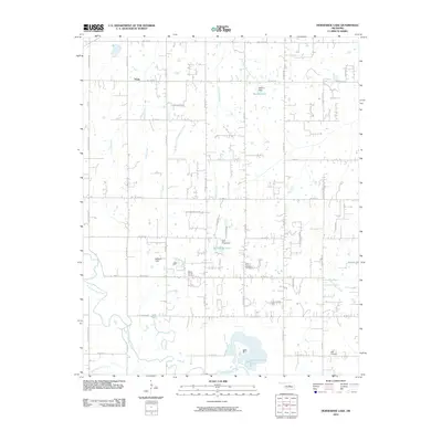 2010 Horseshoe Lake2010 Print · USGSOklahoma City's eastern rural fringe is captured here in the early 21st century as the landscape balances ranching roots with new growth. Researchers can locate family heritage sites like Mount Carmel Cemetery or trace the drainage of the North Canadian River and Horseshoe Lake.
 - 2010 Map of Coyle, 2010 Print
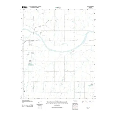 2010 Coyle2010 Print · USGSLogan County and the Cimarron River valley are captured here just after the turn of the millennium. Researchers can trace the rural landscape from the town of Coyle to landmarks like Horse Thief Canyon and the community of Goodnight.
 - 2010 Map of Kendrick, 2010 Print
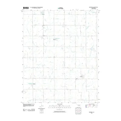 2010 Kendrick2010 Print · USGSKendrick and Parkland are captured in the early 21st century as they appear amidst the section-line roads of Lincoln County. Genealogists can pinpoint local burial grounds like Kendrick Cemetery, Parkland Cemetery, and Bethel Cemetery near Dry Creek.
 - 2010 Map of Prague, 2010 Print
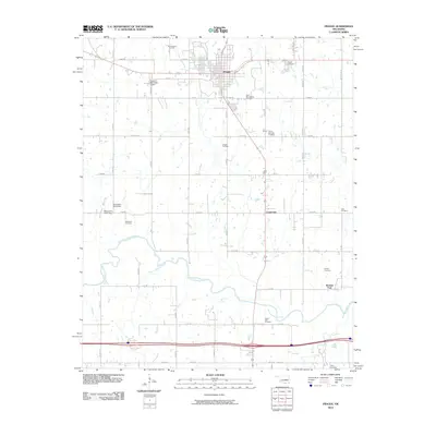 2010 Prague2010 Print · USGSLincoln County at the turn of the decade shows a landscape shaped by petroleum and deep-rooted heritage. Researchers can trace family sites at the Barton Czech National Cemetery or locate old industrial markers like the Prague Oil Field and Keokuk Falls.
 - 2010 Map of Tryon North, 2010 Print
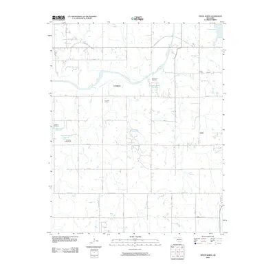 2010 Tryon North2010 Print · USGSNorth of Tryon, the landscape in the early twenty-first century remains defined by the winding Cimarron River and its rural road network. Genealogists can trace family heritage at Iowa Indian Cemetery, Oakdale Cemetery, and the settlement of Cottingham.
 - 2010 Map of Ritts Junction, 2010 Print
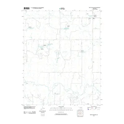 2010 Ritts Junction2010 Print · USGSCreek County at the start of the 2010s reveals a rural landscape defined by the winding Deep Fork river and a network of managed reservoirs. Researchers can locate several distinct burial grounds including Hosey Cemetery and Lane Cemetery near the settlements of Aron and Ritts Junction.
 - 2010 Map of Wellston, 2010 Print
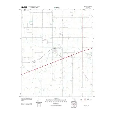 2010 Wellston2010 Print · USGSWellston and its surrounding Lincoln County countryside are shown here in the early twenty-first century as energy production and agriculture intersect. Researchers can locate the Gardner Cemetery, the settlement of Fallis, and the Wellston Oil and Gas Field.
 - 2010 Map of Tryon South, 2010 Print
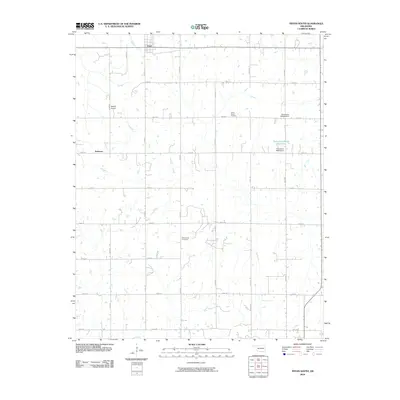 2010 Tryon South2010 Print · USGSLincoln County farmland is documented here in the early twenty-first century, showing the grid of section roads and small settlements. Researchers can locate burial sites at Valley Queen Cemetery and Rock Spring Cemetery or trace landmarks like Melton Airport.
 - 2010 Map of Perkins, 2010 Print
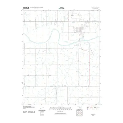 2010 Perkins2010 Print · USGSPerkins and the surrounding Payne County countryside are shown here as they appeared in 2010, centered on the sweeping bends of the Cimarron River. Researchers can locate family landmarks like Knipe Cemetery and Brandon Cemetery, or trace the grounds of the Oklahoma State University Experimental Farm.
 - 2010 Map of North Village, 2010 Print
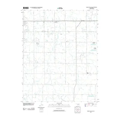 2010 North Village2010 Print · USGSOklahoma's rural heartland is captured here in the early twenty-first century, showing a landscape defined by its creek systems and family burial grounds. Genealogists can locate several local sites including Silver Star Cemetery, Harrell Cemetery, and North Village.
 - 2010 Map of Shawnee NE, 2010 Print
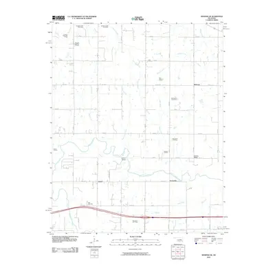 2010 Shawnee NE2010 Print · USGSOklahoma's river valley and oil country are captured here at the start of the decade. Researchers can trace rural cemeteries like Wakole and McKosta or follow the development of the West Bellemont Oil Field.
 - 2010 Map of Prague NE, 2010 Print
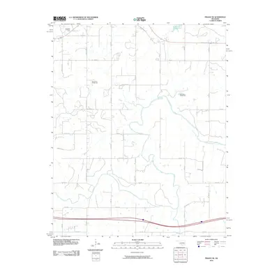 2010 Prague NE2010 Print · USGSOkfuskee County's rural landscape is captured here in the early twenty-first century, showing the intersection of energy production and water management. You can trace the boundaries of the Southwest Paden Oil Field or locate rural landmarks like Paden Lake Number 1 and Carver Arena Rd.
 - 2010 Map of Meridian, 2010 Print
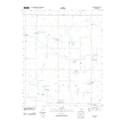 2010 Meridian2010 Print · USGSLogan County farmsteads and rural crossroads are captured here during a period of significant water management development. Genealogists can trace family roots through numerous burial sites like Union Hill Cemetery, Meridian Cemetery, and Jordan Cemetery.
 - 2010 Map of Stroud South, 2010 Print
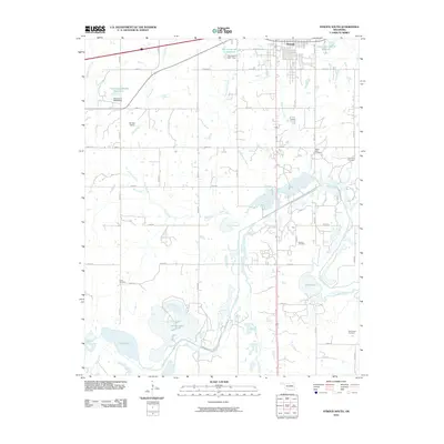 2010 Stroud South2010 Print · USGSSouth of Stroud in the early twenty-first century, the Oklahoma landscape is a mix of river bottomlands and rural homesteads. Genealogists can trace family footprints through several local landmarks like Golden Valley Cemetery, Godwin Cemetery, and Brinkley Siding.
 - 2010 Map of Luther, 2010 Print
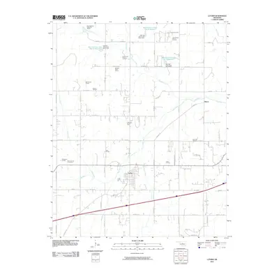 2010 Luther2010 Print · USGSThe town of Luther and the surrounding Oklahoma countryside are shown here in the early twenty-first century. Genealogists and historians can trace local family roots through sites like Tillman Cemetery, the Luther Gas and Oil Field, and the Deep Fork river valley.
 - 2012 Map of Tryon North, 2012 Print
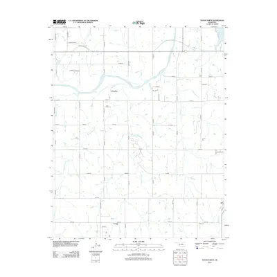 2012 Tryon North2012 Print · USGSLincoln County at the turn of the decade reveals a landscape defined by the winding Cimarron River and its many tributaries. Genealogists can trace family roots through several local burial sites, including the Iowa Indian Cem, Oakdale Cem, and Old George Cem.
 - 2012 Map of Ritts Junction, 2012 Print
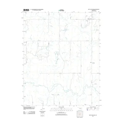 2012 Ritts Junction2012 Print · USGSCreek County’s rural landscape is captured here in the early twenty-first century, centered on the Deep Fork river. Genealogists and historians can locate numerous burial sites and crossroads communities like Ritts Junction, Aron, and the Micawber Cem.
Showing maps 1-25 of 113
Top cities of Lincoln County
- Chandler historical maps
- Prague historical maps
- Meeker historical maps
- Davenport historical maps
- Wellston historical maps
- Carney historical maps
See more
Frequently asked questions
- What are the different types of historical maps available for Lincoln County?
- What is the oldest map of Lincoln County?
- Where can I purchase historical maps of Lincoln County for my home or office?
- Where can I download high-res historical maps of Lincoln County?
- Are there historical topographic maps available for Lincoln County?
- Is there historical aerial imagery available for Lincoln County?
- Where are historical maps of Lincoln County sourced from?