2010s Maps of Deschutes County, Oregon
Explore 273 historic maps of Deschutes County from the 2010s. These maps offer a rare glimpse into what life looked like during the 2010s — showing old roads, neighborhoods, homes, and landmarks that have changed or disappeared over time.
Whether you're researching your family's past, planning a metal detecting trip, or studying how Deschutes County's landscape evolved across the 2010s, these high-resolution maps are a powerful tool for exploring the history of this region.
- Focus on a specific era: All maps on this page are from the 2010s, giving you a focused view of this time period.
- See what’s changed: Compare century-old streets, trails, and buildings to today's modern landscape using overlays and satellite layers.
- Research with precision: Use these maps for genealogy, historical research, land use analysis, or educational projects.
- View, download, or print: Maps are fully viewable online in high resolution, and can be downloaded or printed for your own records.
Start exploring Deschutes County's history through authentic maps from the 2010s. This is your window into the past.
Deschutes County, OR maps
(273)- 2011 Map of Pine Mountain, 2011 Print
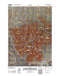 2011 Pine Mountain2011 Print · USGSDeschutes County's high desert terrain is charted here during the early twenty-first century, showing the intersection of science and wilderness. Researchers can locate the Pine Mountain Observatory and trace backcountry routes like Sand Springs Rd and Lava Bed Rd.
 - 2011 Map of Sixteen Butte, 2011 Print
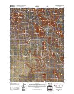 2011 Sixteen Butte2011 Print · USGSDeschutes County in the early twenty-first century reveals a volcanic landscape carved by forest service history. Researchers can trace remote routes like Natl Forest Develop Road 23 to prominent local landmarks like Sixteen Butte and Wigtop Butte.
 - 2011 Map of Plot Butte, 2011 Print
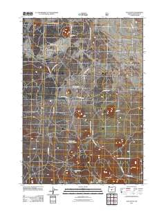 2011 Plot Butte2011 Print · USGSDeschutes County's high desert landscape is documented here in the early twenty-first century, showing a region defined by volcanic geology. Researchers can trace forest access routes to significant landmarks like the Lavacicle Cave Geological Area, Mahogany Butte, and Watkins Flat.
 - 2011 Map of Firestone Butte, 2011 Print
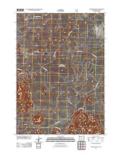 2011 Firestone Butte2011 Print · USGSThe Oregon high desert near Firestone Butte comes into focus in this contemporary study of Deschutes County. Trace the specialized forest road network used for land management and recreation, including Lava Bed Rd and Quartz Mtn Rd.
 - 2011 Map of Millican SE, 2011 Print
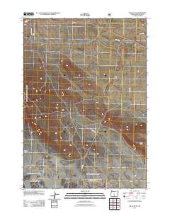 2011 Millican SE2011 Print · USGSHigh desert ranching and forest service lands in central Oregon are detailed here in the early twenty-first century. Researchers can trace rural property markers like Morris Ranch or navigate topographical features such as Kotzman Basin and Whitaker Holes.
 - 2011 Map of Fox Butte, 2011 Print
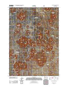 2011 Fox Butte2011 Print · USGSDeschutes County in the early twenty-first century remains a high-desert wilderness dominated by volcanic peaks and forest service management. Trace the network of timber roads to isolated landmarks like Glen Cabin and high-country basins such as Kitteredge Reservoir.
 - 2011 Map of Finley Butte, 2011 Print
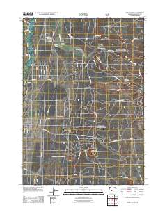 2011 Finley Butte2011 Print · USGSLa Pine and the surrounding High Desert are captured here just after the first decade of the millennium. Genealogists and local historians can trace residential growth and identify sites like Breese Cemetery and the Improved Order of Redmen Cemetery.
 - 2011 Map of Masten Butte, 2011 Print
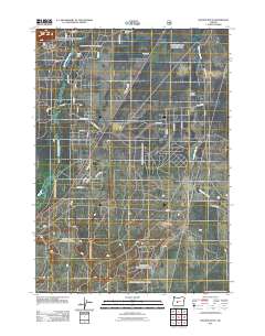 2011 Masten Butte2011 Print · USGSDeschutes County during the early 2010s shows a landscape of river-fed ranches and expansive high-desert prairies. Researchers can trace land ownership and water rights through features like Gilbertson Ranch, Walker Basin Canal, and the meandering Little Deschutes River.
 - 2011 Map of Round Mountain, 2011 Print
 2011 Round Mountain2011 Print · USGSDeschutes County in the early 21st century is captured here as a landscape of volcanic buttes and critical forest service corridors. Researchers can trace the winding routes of Lookout Mountain Rd and S Century Dr as they navigate peaks like Round Mountain and Siah Butte.
 - 2011 Map of Paulina Peak, 2011 Print
 2011 Paulina Peak2011 Print · USGSDeschutes County's high volcanic country is captured here in the early twenty-first century, centered on the recreational hub of the Newberry area. Researchers and hikers can trace the trails and roads leading to Paulina Lake Lodge, Paulina Peak, and the Paulina Creek Falls.
 - 2011 Map of La Pine, 2011 Print
 2011 La Pine2011 Print · USGSLa Pine and the Deschutes River valley appear here in the early twenty-first century, showing a mix of residential growth and ranching. Genealogists and local historians can locate the Masten Cemetery, Carey Stearns Ranch, and the original La Pine Post Office.
 - 2011 Map of East Lake, 2011 Print
 2011 East Lake2011 Print · USGSDeschutes County's volcanic interior is shown in detail during the early 21st century, centered on the high lakes of the Newberry Crater. Researchers can locate specialized landmarks like the East Lake Resort, Big Obsidian Flow Trailhead, and Central Pumice Cone.
 - 2011 Map of Cryder Butte, 2011 Print
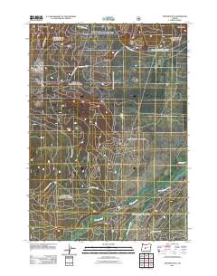 2011 Cryder Butte2011 Print · USGSDeschutes County land is defined by volcanic buttes and the river's winding path during this recent 2011 survey. Researchers can trace the junction of Crescent Creek and the Little Deschutes River near landmarks like Kemp Bridge.
 - 2011 Map of Horse Ridge, 2011 Print
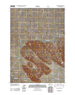 2011 Horse Ridge2011 Print · USGSDeschutes County high desert is mapped here in the early twenty-first century, showing a landscape defined by volcanic geology and arid basins. Trace the old routes of China Hat Rd and Ford Rd as they skirt Horse Ridge and Stookey Flat.
 - 2011 Map of Benham Falls, 2011 Print
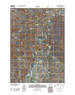 2011 Benham Falls2011 Print · USGSThe resort community of Sunriver and the wild corridor of the Deschutes River are captured here in the early twenty-first century. You can trace the development of local infrastructure from the Sunriver Airport to the rapids at Benham Falls and Lava Island Falls.
 - 2011 Map of China Hat, 2011 Print
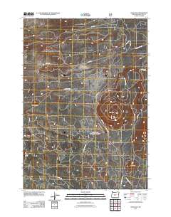 2011 China Hat2011 Print · USGSHigh desert volcanic peaks and forestry access routes define this Deschutes County landscape in the early twenty-first century. Researchers can trace the network of forest roads surrounding China Hat, Pumice Butte, and the distinct Cinder Cone.
 - 2011 Map of Packsaddle Mountain, 2011 Print
 2011 Packsaddle Mountain2011 Print · USGSThe high Cascade wilderness of Lane County is documented here during the early twenty-first century. Trekkers and historians can trace routes through the Mink Lake Basin to locate remote outposts like Mink Lake Shelter and Cliff Lake Shelter.
 - 2011 Map of Odell Lake, 2011 Print
 2011 Odell Lake2011 Print · USGSThe high Cascades around Crescent Lake and Odell Lake are captured here in the early twenty-first century, showing a landscape defined by forest recreation and transport. Researchers can trace local landmarks like the Crescent Lake Post Office, McCord Cabin Spring, and the Crescent Lake State Airport.
 - 2011 Map of Anns Butte, 2011 Print
 2011 Anns Butte2011 Print · USGSIn the early twenty-first century, the river valleys of central Oregon show a blend of working ranches and modern resort development. Researchers can trace land use through the Vandevert Ranch, locate the Harper Cemetery, and follow the path of the Little Deschutes River.
 - 2011 Map of Wanoga Butte, 2011 Print
 2011 Wanoga Butte2011 Print · USGSDeschutes County's volcanic highlands are shown here in the early twenty-first century, revealing a landscape shaped by forest management and recreation. Outdoor historians can trace the network of forest roads leading to the Wanoga Butte Lookout Tower and unique sites like Edison Ice Cave Rd.
 - 2011 Map of Mount Bachelor, 2011 Print
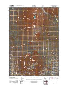 2011 Mount Bachelor2011 Print · USGSDeschutes County reaches into the Cascades during this era of high-mountain recreation and forestry. Explore the developed slopes of the Mount Bachelor Ski Area or trace the network of national forest roads leading to Sheridan Mountain and Sparks Lake.
 - 2011 Map of South Ice Cave, 2011 Print
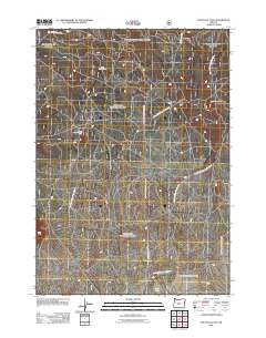 2011 South Ice Cave2011 Print · USGSIn the early 21st century, this high-desert region of Central Oregon shows a landscape shaped by volcanic geology and forest management. Researchers can trace the network of access roads leading to industrial sites like the South Ice Cave Cinder Pit and the trailhead at Lava Pass.
 - 2011 Map of Spring Butte, 2011 Print
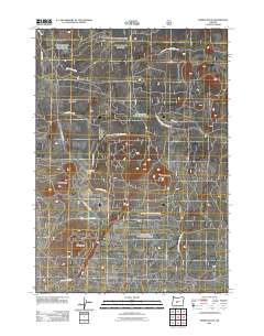 2011 Spring Butte2011 Print · USGSDeschutes County's volcanic high desert is meticulously documented in the early twenty-first century, showing a landscape defined by forest management and geology. Trace the dense network of service roads leading to Spring Butte Well and named cinder cones like Ipsoot Butte and Green Butte.
 - 2011 Map of Fuzztail Butte, 2011 Print
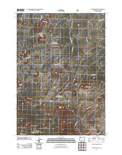 2011 Fuzztail Butte2011 Print · USGSThe volcanic landscape of central Oregon is captured here in the early twenty-first century, showing the remote high-desert terrain before modern shifts in land use. Tracing the paths through Swamp Wells Horse Camp, you can locate peaks like Fuzztail Butte and North Paulina Peak.
 - 2011 Map of Willamette Pass, 2011 Print
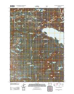 2011 Willamette Pass2011 Print · USGSThe Oregon Cascades at the start of the twenty-first century reveal a landscape of high-altitude transit and alpine sport. Trace the rail lines through Cascade Summit and explore the shores of Odell Lake and Diamond View Lake.
Showing maps 1-25 of 273
Top cities of Deschutes County
Frequently asked questions
- What are the different types of historical maps available for Deschutes County?
- What is the oldest map of Deschutes County?
- Where can I purchase historical maps of Deschutes County for my home or office?
- Where can I download high-res historical maps of Deschutes County?
- Are there historical topographic maps available for Deschutes County?
- Is there historical aerial imagery available for Deschutes County?
- Where are historical maps of Deschutes County sourced from?