2010s Maps of Jackson County, Oregon
Explore 180 historic maps of Jackson County from the 2010s. These maps offer a rare glimpse into what life looked like during the 2010s — showing old roads, neighborhoods, homes, and landmarks that have changed or disappeared over time.
Whether you're researching your family's past, planning a metal detecting trip, or studying how Jackson County's landscape evolved across the 2010s, these high-resolution maps are a powerful tool for exploring the history of this region.
- Focus on a specific era: All maps on this page are from the 2010s, giving you a focused view of this time period.
- See what’s changed: Compare century-old streets, trails, and buildings to today's modern landscape using overlays and satellite layers.
- Research with precision: Use these maps for genealogy, historical research, land use analysis, or educational projects.
- View, download, or print: Maps are fully viewable online in high resolution, and can be downloaded or printed for your own records.
Start exploring Jackson County's history through authentic maps from the 2010s. This is your window into the past.
Jackson County, OR maps
(180)- 2011 Map of Robinson Butte, 2011 Print
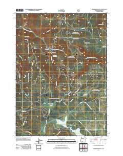 2011 Robinson Butte2011 Print · USGSHigh in the Cascades of Jackson County, this modern survey documents the remote timberlands and mountain prairies during the early twenty-first century. Researchers can locate family landmarks and secluded sites like Owens Ranch, Gawa Church Camp, and the Dead Indian Soda Springs.
 - 2011 Map of Trail, 2011 Print
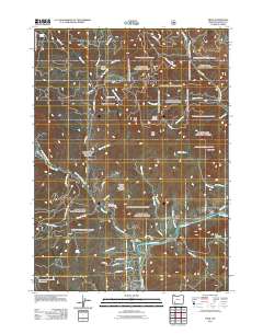 2011 Trail2011 Print · USGSJackson County’s river-carved landscape is shown here in the early twenty-first century as it centers on the Rogue River corridor. Researchers can trace local infrastructure and landmarks including the Trail Post Office, the settlement of Rogue Elk, and the Lane and Shephard Reservoirs.
 - 2011 Map of Cleveland Ridge, 2011 Print
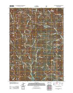 2011 Cleveland Ridge2011 Print · USGSJackson County’s high country is captured here during the early twenty-first century, showing a landscape of remote ranching outposts and rugged watersheds. Researchers can locate family landmarks like Younkers Ranch, find the Chicago Cabin, and trace the paths of Evans Creek and West Fork Trail Creek.
 - 2011 Map of Abbott Butte, 2011 Print
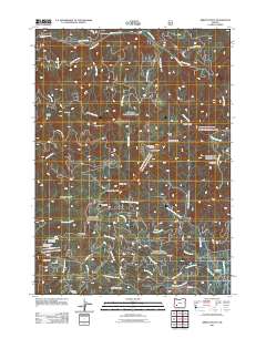 2011 Abbott Butte2011 Print · USGSJackson County’s high timber country is shown here at the start of the decade, dominated by the Abbott Butte Lookout and remote forest camps. Researchers can trace historic access routes like Old Buzzard Mine Rd and explore landmarks like Donegan Prairies and Whaleback.
 - 2011 Map of Prospect South, 2011 Print
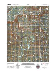 2011 Prospect South2011 Print · USGSModern Jackson County takes shape in this 2011 survey of the region surrounding the Rogue River valley. Map enthusiasts can trace the settlement at Prospect and study the intricate drainage patterns of the river and its local tributaries.
 - 2011 Map of Thousand Springs, 2011 Print
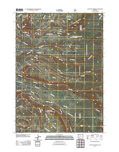 2011 Thousand Springs2011 Print · USGSJackson County’s high forest lands are captured here during the early twenty-first century, showing the complex web of timber roads and mountain streams. Researchers can trace the routes to Sunday Camp and Wagon Camp or follow the waters of Thousand Springs.
 - 2011 Map of Cascade Gorge, 2011 Print
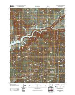 2011 Cascade Gorge2011 Print · USGSJackson County's rugged upper Rogue River canyon is shown here in the early twenty-first century, centered on the waters of Lost Creek Lake. Genealogists and local historians can locate Nye Cemetery, Katydid Ranch, and the engineering of the P P & L Canal.
 - 2011 Map of Richter Mountain, 2011 Print
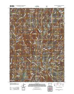 2011 Richter Mountain2011 Print · USGSJackson County's high ridges and mining history are preserved in this 2011 survey of the southern Cascades. Researchers can trace historic extraction sites like the Mammoth Lode Mine and Red Cloud Mine, alongside remote outposts like Richter Cabin.
 - 2011 Map of Sugarpine Creek, 2011 Print
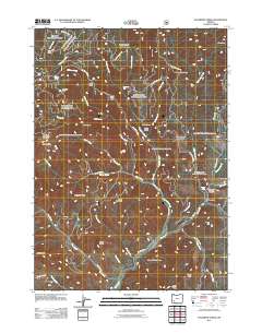 2011 Sugarpine Creek2011 Print · USGSJackson County high country in the early twenty-first century is defined by remote timber camps and the rugged drainage of the Rogue River Range. You can trace historical access routes to isolated sites like Buckhorn Cabin, Johns Camp, and the mineral-named Bitter Lick.
 - 2011 Map of Butte Falls, 2011 Print
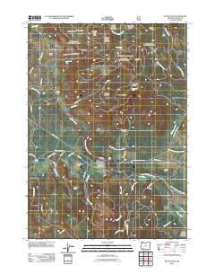 2011 Butte Falls2011 Print · USGSButte Falls and the surrounding ranchlands are captured here in the early twenty-first century, showing the area's transition into a modern timber and recreational landscape. Genealogists and local historians can trace legacy sites like Perry School, Cobleigh Ranch, and Butte Falls Cemetery.
 - 2011 Map of Sterling Creek, 2011 Print
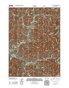 2011 Sterling Creek2011 Print · USGSSouthern Oregon in the early 2010s shows a landscape shaped by mining and ranching legacies near the Little Applegate River. Researchers can trace old resource networks through the Sterling Ditch, find the Sleeppy Mine, and locate Sterling Cemetery.
 - 2011 Map of Rustler Peak, 2011 Print
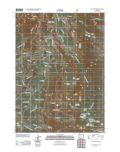 2011 Rustler Peak2011 Print · USGSThe high backcountry of Jackson County is captured here in the early twenty-first century, showing the intricate drainages of the southern Cascades. Map collectors and researchers can locate remote landmarks like Sheep Camp, Wickiup Shelter Wickiup Spring, and Rustler Peak.
 - 2011 Map of Red Blanket Mountain, 2011 Print
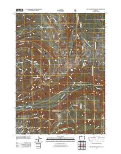 2011 Red Blanket Mountain2011 Print · USGSThe High Cascades of Jackson County are captured here in the early twenty-first century, showing the rugged intersection of timber lands and protected parkland. Researchers can trace forest use and mountain hydrology through landmarks like Dead Soldier Camp, Red Blanket Creek, and Bessie Shelter.
 - 2011 Map of Imnaha Creek, 2011 Print
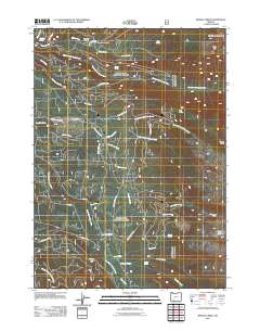 2011 Imnaha Creek2011 Print · USGSJackson County’s high timber country is shown here in the early twenty-first century, centered on the confluence of mountain waterways. Researchers can trace the network of forest routes like Lodgepole Rd to find King Spruce Camp and Frog Lake.
 - 2011 Map of Talent, 2011 Print
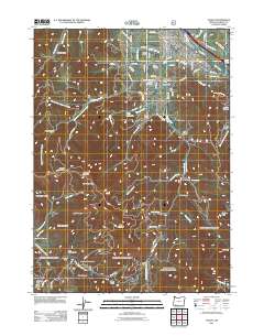 2011 Talent2011 Print · USGSThe agricultural valleys and rising timberlands of Jackson County are captured here during the early twenty-first century. Genealogists and historians can trace family-named sites such as Stearn Cemetery and Brickpile Ranch or locate the Ashland Mine.
 - 2011 Map of Prospect North, 2011 Print
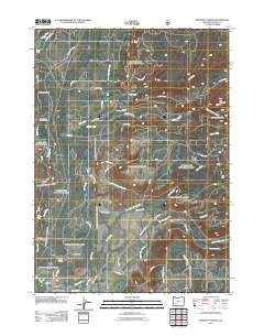 2011 Prospect North2011 Print · USGSThe Rogue River corridor near Prospect comes into focus in this early twenty-first-century survey of the Cascade foothills. Researchers can trace forest management and local land use through landmarks like Union Rogue Church Camp, Takelma Gorge, and Skeeters Camp.
 - 2011 Map of Lake Creek, 2011 Print
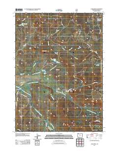 2011 Lake Creek2011 Print · USGSJackson County's upland watersheds are captured here in the early twenty-first century, centered on the historic community of Lake Creek. Researchers can trace the sophisticated water systems of the era, from the Hanley South Canal to landmarks like Star Lake Reservoir and Slinger Rock.
 - 2011 Map of Brown Mountain, 2011 Print
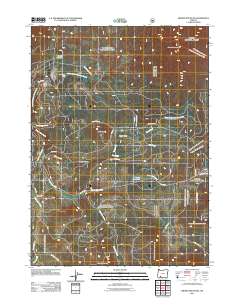 2011 Brown Mountain2011 Print · USGSJackson County's high-country terrain is documented here in the early twenty-first century, showing a landscape shaped by forestry and water management. Researchers can trace the backcountry road network near Deadwood Junction and locate water features like Manley Reservoir and Big Elk Meadow.
 - 2011 Map of Big Butte Springs, 2011 Print
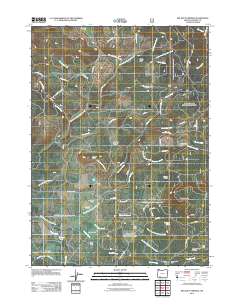 2011 Big Butte Springs2011 Print · USGSJackson County's timber and ranching landscape is documented here in the early twenty-first century. Researchers can locate family landmarks and early infrastructure such as the Medco Railroad, Mount Pitt School, and Rancheria Ranch.
 - 2011 Map of Mount McLoughlin, 2011 Print
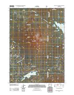 2011 Mount McLoughlin2011 Print · USGSThe High Cascades of Southern Oregon are shown here during the early twenty-first century, centered on the towering volcanic peak of Mount McLoughlin. Researchers can locate seasonal outposts like Camp Seventy-six and trace the alpine shoreline of Fish Lake and its associated Fish Lake Resort.
 - 2011 Map of Dutchman Peak, 2011 Print
 2011 Dutchman Peak2011 Print · USGSJackson County's high-country terrain is captured here in the early twenty-first century as part of the Rogue River National Forest. Researchers can identify isolated resource sites and landmarks like the Grubstake Mine, Beaver Ranch, and the Dutchman Peak Lookout.
 - 2011 Map of Ragsdale Butte, 2011 Print
 2011 Ragsdale Butte2011 Print · USGSJackson County's timbered ridges and fire-watch outposts are documented here in the early twenty-first century. Researchers can trace forest management history through sites like Devils Knob Lookout, Warren Tison Ranch, and Shed Camp.
 - 2011 Map of Willow Lake, 2011 Print
 2011 Willow Lake2011 Print · USGSJackson County’s high country is captured here during the early twenty-first century, centered on the waters of Willow Lake. Genealogists and historians can trace legacy landholdings and forest outposts like Pennington Ranch, Swede Cabin, and Shake Camp.
 - 2011 Map of Union Creek, 2011 Print
 2011 Union Creek2011 Print · USGSUnion Creek and the upper Rogue River corridor are shown in detail during the early twenty-first century. Researchers can trace the legacy of forest management and recreation at the Union Creek Resort, the Mount Stella Lookout Tower, and the Natural Bridge Viewpoint.
 - 2011 Map of Whetstone Point, 2011 Print
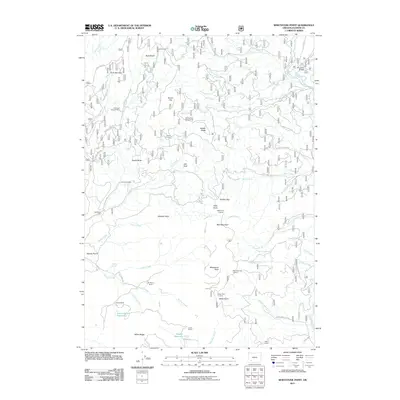 2011 Whetstone Point2011 Print · USGSJackson County's rugged ranch and timber lands are documented here in the early twenty-first century. Genealogists and historians can trace family-named sites like the Ash Homestead, Art Moore Ranch, and Halls Cabin.
Showing maps 1-25 of 180
Top cities of Jackson County
- Medford historical maps
- Ashland historical maps
- Central Point historical maps
- Eagle Point historical maps
- White City historical maps
- Talent historical maps
See more
Frequently asked questions
- What are the different types of historical maps available for Jackson County?
- What is the oldest map of Jackson County?
- Where can I purchase historical maps of Jackson County for my home or office?
- Where can I download high-res historical maps of Jackson County?
- Are there historical topographic maps available for Jackson County?
- Is there historical aerial imagery available for Jackson County?
- Where are historical maps of Jackson County sourced from?