2020s Maps of Jackson County, Oregon
Explore 122 historic maps of Jackson County from the 2020s. These maps offer a rare glimpse into what life looked like during the 2020s — showing old roads, neighborhoods, homes, and landmarks that have changed or disappeared over time.
Whether you're researching your family's past, planning a metal detecting trip, or studying how Jackson County's landscape evolved across the 2020s, these high-resolution maps are a powerful tool for exploring the history of this region.
- Focus on a specific era: All maps on this page are from the 2020s, giving you a focused view of this time period.
- See what’s changed: Compare century-old streets, trails, and buildings to today's modern landscape using overlays and satellite layers.
- Research with precision: Use these maps for genealogy, historical research, land use analysis, or educational projects.
- View, download, or print: Maps are fully viewable online in high resolution, and can be downloaded or printed for your own records.
Start exploring Jackson County's history through authentic maps from the 2020s. This is your window into the past.
Jackson County, OR maps
(122)- 2020 Map of Whetstone Point, 2020 Print
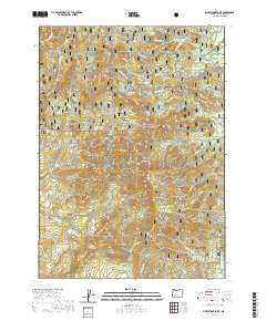 2020 Whetstone Point2020 Print · USGSJackson County’s high timber country is shown here in the contemporary era as a landscape of managed forests and watersheds. Researchers can trace the water infrastructure of the Persist Ranch Reservoirs and landmarks like Squaw Prairie and Whetstone Point.
 - 2020 Map of Butte Falls, 2020 Print
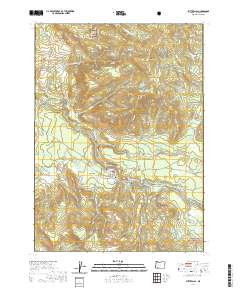 2020 Butte Falls2020 Print · USGSJackson County’s timber and water resources are on full display in the Cascade foothills during the early twenty-first century. Genealogists and hikers can trace landmarks like the Butte Falls Cem, the Medford Aqueduct, and the heights of Santiam Peak.
 - 2020 Map of Grizzly Peak, 2020 Print
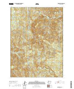 2020 Grizzly Peak2020 Print · USGSThe high ridges of Jackson County appear in modern detail on this recent survey of the Cascades foothills. Local historians can locate the Lake Creek Cem and the settlement of Climax, or trace the complex headwaters of Antelope Cr.
 - 2020 Map of Emigrant Lake, 2020 Print
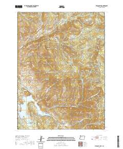 2020 Emigrant Lake2020 Print · USGSJackson County’s high-country terrain and critical water systems are captured here in the 2020s. Researchers can trace historical sites like the Dunn Cem, follow the Pacific Crest National Scenic Trail, or locate Wagner Soda Spring.
 - 2020 Map of Boswell Mountain, 2020 Print
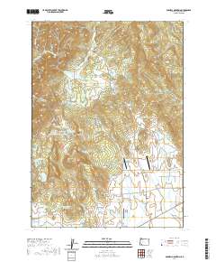 2020 Boswell Mountain2020 Print · USGSIn the highlands of Jackson County during the early twenty-first century, ranching and private aviation thrive near the settlement of Beagle. Researchers can trace old family sites at Antioch Cem and Meadow Graves or locate the remote Sky Ranch Airport.
 - 2020 Map of Mount Isabelle, 2020 Print
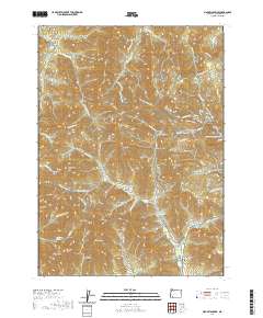 2020 Mount Isabelle2020 Print · USGSSouthern Oregon's high ridges and gold-mining legacy are visible here as the region balances its timber history with modern forest recreation. Researchers can trace the Old Miners site, visit the Log Town Cem, or explore the trails of Jacksonville Forest Park.
 - 2020 Map of Sugarpine Creek, 2020 Print
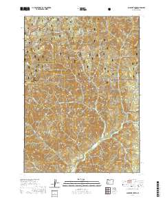 2020 Sugarpine Creek2020 Print · USGSThe Douglas and Jackson county line runs through this mountain landscape in the 2020s, dominated by the national forests. Researchers can trace the drainages of Sugarpine Creek and identify landmarks like Abbott Prairie, Buckhorn Mtn, and Gobblers Knob.
 - 2020 Map of Cascade Gorge, 2020 Print
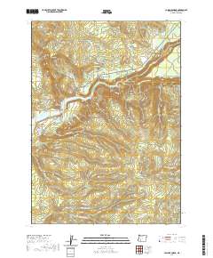 2020 Cascade Gorge2020 Print · USGSJackson County's rugged backcountry is documented here during the early twenty-first century, showing the intersection of timber roads and the Rogue River. Genealogists and researchers can locate Nye Cem, Peyton Bridge, and the high-elevation flats of Summit Prairie.
 - 2020 Map of Big Butte Springs, 2020 Print
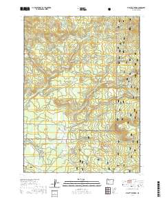 2020 Big Butte Springs2020 Print · USGSThe timber and water resources of Jackson County are well-documented in this recent survey of the Cascade foothills. Researchers can trace historical infrastructure like the Medco Railroad Grade and the Medford Aqueduct alongside Big Butte Springs.
 - 2020 Map of Little Chinquapin Mountain, 2020 Print
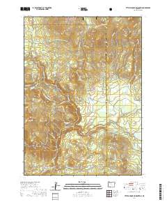 2020 Little Chinquapin Mountain2020 Print · USGSThis part of the Cascade Range in the 2020s is defined by its forestry history and high-altitude waterways near the Klamath County line. Trace the path of the Pacific Crest National Scenic Trail past Old Baldy or locate the Pinehurst Cemetery at the southern base of the hills.
 - 2020 Map of Red Blanket Mountain, 2020 Print
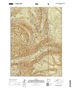 2020 Red Blanket Mountain2020 Print · USGSJackson County's high Cascades are documented here in 2020 as they bridge the border between national forest and park lands. Researchers can trace the alpine trails and seasonal routes around Red Blanket Mtn, Dead Soldier Meadow, and the Red Blanket Falls Trail.
 - 2020 Map of Obenchain Mountain, 2020 Print
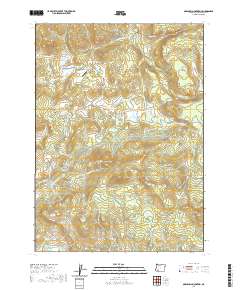 2020 Obenchain Mountain2020 Print · USGSJackson County's timber and ranching highlands are documented here in the 2020s, showing a landscape defined by volcanic peaks and water engineering. Researchers can trace the Medford Aqueduct, locate the Mucky Flat Airport, and find family-named landmarks like Joe Dyer Butte.
 - 2020 Map of McLeod, 2020 Print
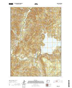 2020 McLeod2020 Print · USGSSouthern Oregon's river valleys and high peaks are captured here in the years following the turn of the millennium. Genealogists and hikers can trace old routes like Old Elk Creek Rd or locate Berrian Spring and the settlement of McLeod.
 - 2020 Map of Skeleton Mountain, 2020 Print
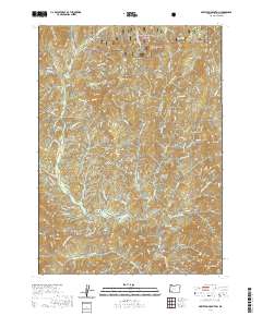 2020 Skeleton Mountain2020 Print · USGSJackson County’s high timber country is shown here in the 2020s, dominated by the southern reaches of the Umpqua National Forest. Researchers can trace the network of fire roads and trails connecting landmarks like Elderberry Flat, Panther Peak, and Skeleton Mtn.
 - 2020 Map of Prospect North, 2020 Print
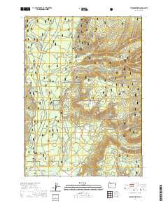 2020 Prospect North2020 Print · USGSIn the Cascade foothills during the 2020s, this area north of Prospect reveals a landscape dedicated to forest management and recreation. Researchers can locate the Alken Family Plot and trace trails like Discovery Ohv along the Upper Rogue River.
 - 2020 Map of Prospect South, 2020 Print
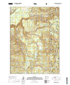 2020 Prospect South2020 Print · USGSUpper Rogue River country in the modern era remains a landscape of high timber and dramatic water features. Local historians and researchers can trace the network of forestry roads like Medco A Rd past landmarks such as Barr Creek Falls and the Prospect State Airport.
 - 2020 Map of Mount McLoughlin, 2020 Print
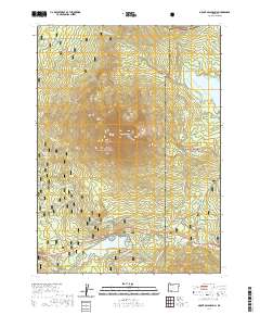 2020 Mount McLoughlin2020 Print · USGSThe High Cascades of southern Oregon are shown here at the start of the 2020s, centered on the towering peak of Mt McLoughlin. Outdoor historians and hikers can trace the Pacific Crest National Scenic Trail and a web of winter routes like Fish Lake Snomo and the McLoughlin Ski trail.
 - 2020 Map of Abbott Butte, 2020 Print
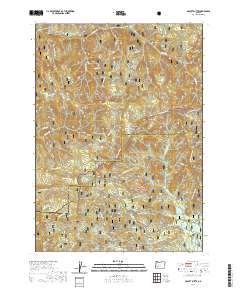 2020 Abbott Butte2020 Print · USGSThe high divide between Jackson and Douglas counties is captured here in the contemporary era of forest management. Researchers and hikers can trace remote landmarks like Abbott Butte, Donegan Prairies, and the waters of Huckleberry Lake.
 - 2020 Map of Hyatt Reservoir, 2020 Print
 2020 Hyatt Reservoir2020 Print · USGSJackson County's high-country hydrology and recreation corridors are preserved here in the modern era. Researchers can trace the Pacific Crest National Scenic Trail as it winds past Hyatt Reservoir, Round Prairie, and the remote Cottonwood Glades.
 - 2020 Map of Willow Lake, 2020 Print
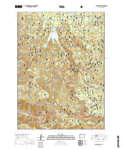 2020 Willow Lake2020 Print · USGSJackson County's high country and forest management are documented here in the early twenty-first century. Researchers can trace land features from Willow Lake to the complex trail systems of Willow Prairie, including the Willow Prairie Horse Trail and Robinson Prairie Snomo (Snow) route.
 - 2020 Map of Richter Mountain, 2020 Print
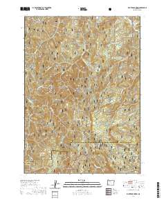 2020 Richter Mountain2020 Print · USGSJackson and Douglas Counties meet among these high Southern Oregon ridges during the early twenty-first century. Researchers can trace the drainage of Cow Creek and find specific landmarks like Richter Mtn, Drew Lake, and the historic pass at Tombstone Gap.
 - 2020 Map of Rustler Peak, 2020 Print
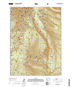 2020 Rustler Peak2020 Print · USGSJackson and Klamath counties meet at this high Cascade summit during the late twenty-teens. Forest historians and hikers can trace the headwaters of the S Fork Rogue River near Rustler Peak and the remote Parker Meadows Campground.
 - 2020 Map of Butler Butte, 2020 Print
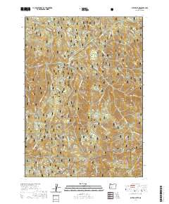 2020 Butler Butte2020 Print · USGSThe Douglas and Jackson County line crosses this high Cascade terrain in 2020, where the national forests meet. Outdoor researchers can trace the intricate network of forest roads leading to Butler Butte, Cow Horn Arch, and the isolated Bunchgrass Meadows.
 - 2020 Map of Ragsdale Butte, 2020 Print
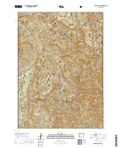 2020 Ragsdale Butte2020 Print · USGSThe high divide between Jackson and Douglas counties is captured here in the contemporary era. Trace the forest road network and hydrologic features like Ragsdale Spring, Oliver Spring, and the rocky heights of Pilot Rock.
 - 2020 Map of Brownsboro, 2020 Print
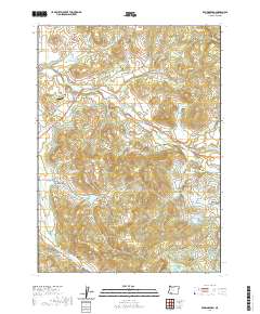 2020 Brownsboro2020 Print · USGSThis Jackson County landscape in the 2020s reveals a sophisticated water-management network supporting local ranching and settlement. Genealogists and hikers can locate Brownsboro Cem, the Oakridge Ranch Airport, and high points like Bybee Peak.
Showing maps 1-25 of 122
Top cities of Jackson County
- Medford historical maps
- Ashland historical maps
- Central Point historical maps
- Eagle Point historical maps
- White City historical maps
- Talent historical maps
See more
Frequently asked questions
- What are the different types of historical maps available for Jackson County?
- What is the oldest map of Jackson County?
- Where can I purchase historical maps of Jackson County for my home or office?
- Where can I download high-res historical maps of Jackson County?
- Are there historical topographic maps available for Jackson County?
- Is there historical aerial imagery available for Jackson County?
- Where are historical maps of Jackson County sourced from?