2020s Maps of Wasco County, Oregon
Explore 141 historic maps of Wasco County from the 2020s. These maps offer a rare glimpse into what life looked like during the 2020s — showing old roads, neighborhoods, homes, and landmarks that have changed or disappeared over time.
Whether you're researching your family's past, planning a metal detecting trip, or studying how Wasco County's landscape evolved across the 2020s, these high-resolution maps are a powerful tool for exploring the history of this region.
- Focus on a specific era: All maps on this page are from the 2020s, giving you a focused view of this time period.
- See what’s changed: Compare century-old streets, trails, and buildings to today's modern landscape using overlays and satellite layers.
- Research with precision: Use these maps for genealogy, historical research, land use analysis, or educational projects.
- View, download, or print: Maps are fully viewable online in high resolution, and can be downloaded or printed for your own records.
Start exploring Wasco County's history through authentic maps from the 2020s. This is your window into the past.
Wasco County, OR maps
(141)- 2020 Map of White Salmon, 2020 Print
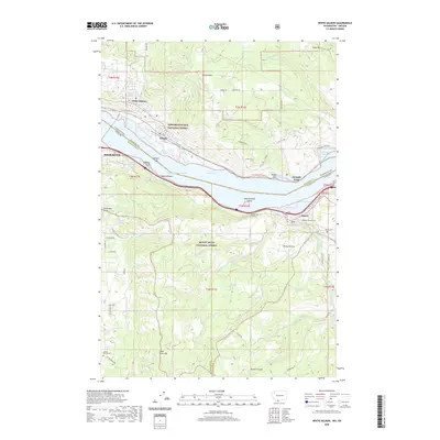 2020 White Salmon2020 Print · USGSThe Columbia River Gorge shoreline and the towns of White Salmon and Mosier are documented in this recent survey. Local researchers can locate family burial sites at Mosier Pioneer Cem or trace the engineering of the Mosier Twin Tunnels.
 - 2020 Map of Stacker Butte, 2020 Print
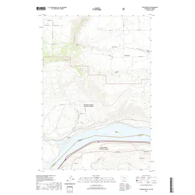 2020 Stacker Butte2020 Print · USGSThe Columbia River Gorge meets the high plateaus of Klickitat County on this recent survey of the Washington-Oregon border. Genealogists and local historians can trace the rural landscape around High Prairie, identify landmarks like Horsethief Butte, and follow old routes like the Military Road.
 - 2020 Map of Wishram, 2020 Print
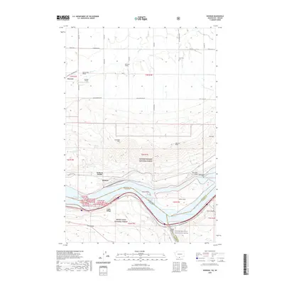 2020 Wishram2020 Print · USGSWishram and the Columbia River gorge are captured here in the 2020s, showing the vital river-and-rail corridor between Washington and Oregon. Researchers can trace the layout of Celilo Village, identify family plots at Centerville Cem, and locate Wishram Heights.
 - 2020 Map of Lyle, 2020 Print
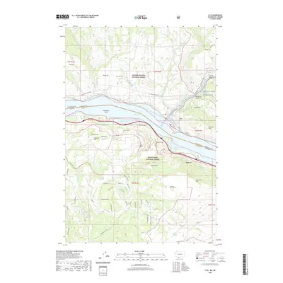 2020 Lyle2020 Print · USGSThe Columbia River Gorge at the turn of the twenty-first century reveals a landscape defined by dramatic topography and river-based settlements. Genealogists and local historians can trace the foundations of Lyle and Rowena, locate the McClure Cem, and explore the winding paths of Fisher Hill Rd.
 - 2020 Map of Wapinitia, 2020 Print
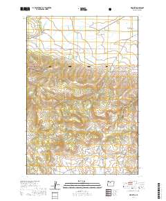 2020 Wapinitia2020 Print · USGSPine Grove and the high plateau of Juniper Flat are captured here in the early twenty-first century as the agricultural plains meet the national forest. Researchers can locate remote landmarks like Wapinitia Cem, Bald Peter Butte, and the waters of Red Lake.
 - 2020 Map of Maupin, 2020 Print
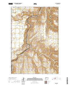 2020 Maupin2020 Print · USGSWasco County’s canyon country is documented here as it appeared in 2020, centered on the river-split town of Maupin. Researchers can trace the steep terrain from Juniper Flat down to the water, locating White River Falls and the crossings along Shearer's Bridge Rd.
 - 2020 Map of Badger Lake, 2020 Print
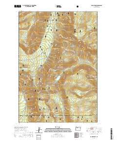 2020 Badger Lake2020 Print · USGSWasco and Hood River counties are shown here as they appeared recently, dominated by the high ridgelines and alpine basins of the Cascades. Researchers can trace historic backcountry landmarks like Bonney Meadows, Jean Lake, and the lookout at Lookout Mtn.
 - 2020 Map of Tygh Valley, 2020 Print
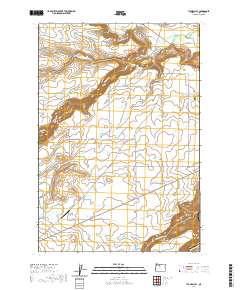 2020 Tygh Valley2020 Print · USGSWasco County’s high desert and river canyons are captured here in the contemporary era. Researchers can trace land use across Juniper Flat and locate family history sites such as Independent Order of Odd Fellows Cemetery or the Wapinitia Airport.
 - 2020 Map of Flag Point, 2020 Print
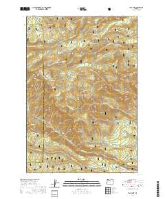 2020 Flag Point2020 Print · USGSMount Hood National Forest in the contemporary era reveals a complex network of high-elevation meadows and vital water infrastructure. Researchers can trace historic irrigation through Springer Ditch or locate landmarks like Flag Point and Eightmile Meadow.
 - 2020 Map of Fivemile Butte, 2020 Print
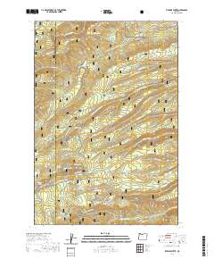 2020 Fivemile Butte2020 Print · USGSMount Hood National Forest and the Wasco County line are captured here in the 2020s, showing a landscape shaped by steep ridgelines and water resources. Researchers can locate remote springs and infrastructure like Crow Cr Reservoir, Wolf Run Ditch, and Fivemile Butte.
 - 2020 Map of Beaver Butte, 2020 Print
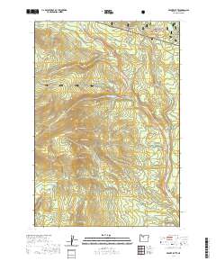 2020 Beaver Butte2020 Print · USGSMount Hood National Forest at the start of the 2020s shows a landscape of forest management and complex watersheds. Genealogists and researchers can trace the high-country roads and natural landmarks such as Beaver Butte, Bear Spring, and McCubbins Gulch.
 - 2020 Map of Foreman Point, 2020 Print
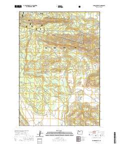 2020 Foreman Point2020 Print · USGSWasco County’s high forest and plateau lands are captured here in the contemporary era, showing the intersection of federal and reservation territories. Researchers can trace forest roads to historic watering points and landmarks like Log Spring, Foreman Point, and Simnasho Butte.
 - 2020 Map of Rock Creek Reservoir, 2020 Print
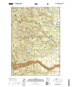 2020 Rock Creek Reservoir2020 Print · USGSWasco County’s eastern forest slopes and high meadows are documented here in recent years, showing the intersection of wilderness and water management. Researchers can trace the paths of Threemile Ditch, locate the small settlement at Sportsmans Park, or follow the White Wild and Scenic River.
 - 2020 Map of Dant, 2020 Print
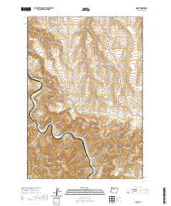 2020 Dant2020 Print · USGSThe Deschutes River corridor in north-central Oregon is captured here in the modern era. Local historians can trace the topography around the settlement of Dant or locate natural water sources like Jones Springs and the peaks of the Mutton Mountains.
 - 2020 Map of The Dalles North, 2020 Print
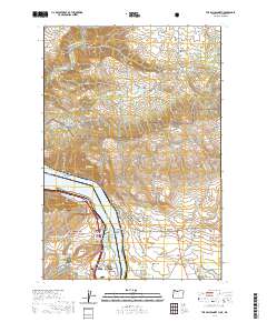 2020 The Dalles North2020 Print · USGSThe Columbia River corridor near The Dalles appears in high detail during the 2020s, showing the intersection of Oregon and Washington. Researchers can trace land markers like the Wish-Ulm Cem and the rugged path of the Klickitat Wild and Scenic River.
 - 2020 Map of Mount Wilson, 2020 Print
 2020 Mount Wilson2020 Print · USGSHigh in the Cascades along the Clackamas and Wasco county line, this modern survey shows a landscape of peaks and alpine meadows as it appeared in 2020. Hikers and historians can trace the Pacific Crest National Scenic Trail past Mt Wilson and find remote water sources like Deadman Spring.
 - 2020 Map of Dufur East, 2020 Print
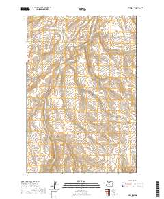 2020 Dufur East2020 Print · USGSDufur and the plateau lands of Wasco County are captured in this modern survey of north-central Oregon. Local historians can trace the rural road network and landmarks like the Independent Order of Odd Fellows Cem, Starveout, and Easton Canyon.
 - 2020 Map of Maupin SW, 2020 Print
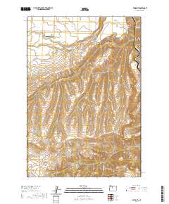 2020 Maupin SW2020 Print · USGSIn the high country of Wasco County, this modern survey shows the dramatic transition from agricultural flats to the deep river canyons of North Central Oregon. Researchers can locate the Nelson Ranch Airport and trace the descent of Wapinitia Creek toward the Deschutes River.
 - 2020 Map of Timothy Lake, 2020 Print
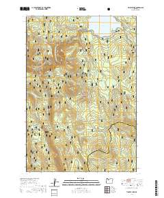 2020 Timothy Lake2020 Print · USGSMount Hood National Forest in recent years is documented here through its extensive trail and water networks. Hikers and cartographers can trace the Pacific Crest National Scenic Trail as it passes Timothy Lake and smaller landmarks like Summit Lake and Rock Butte.
 - 2020 Map of Wamic, 2020 Print
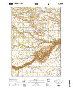 2020 Wamic2020 Print · USGSWasco County settlement near the eastern edge of the national forest is centered around Wamic and Pine Hollow in the modern era. Genealogists and historians can locate Wamic Cem, Smock Prairie, and the canyons of the White Wild and Scenic River.
 - 2020 Map of Clarno, 2020 Print
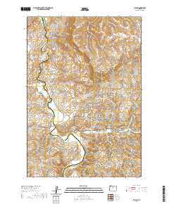 2020 Clarno2020 Print · USGSThe John Day River valley in Wasco and Wheeler Counties is shown here as it appeared in 2020. Local history and geology enthusiasts can trace the boundaries of the John Day Fossil Beds National Monument and locate the Clarno Cem or the Hancock Pictograph.
 - 2020 Map of Arrastra Butte, 2020 Print
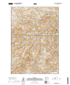 2020 Arrastra Butte2020 Print · USGSHigh desert canyons and ridges define this section of the Wasco and Jefferson County line in the early twenty-first century. Researchers can trace the remote network of Big Muddy Rd as it winds past landmarks like Arrastra Butte, Black Rock, and Wyman Spring.
 - 2020 Map of Simnasho, 2020 Print
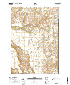 2020 Simnasho2020 Print · USGSSimnasho and the high plateau of Wasco County are documented here in the early twenty-first century. Researchers can trace land patterns across Schoolie Flat and locate local landmarks like the Simnasho Cem and Happy Valley Reservoir.
 - 2020 Map of Sidwalter Buttes, 2020 Print
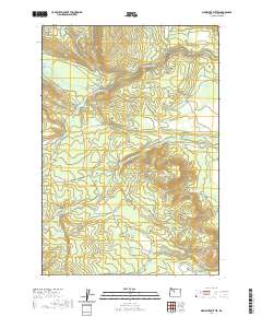 2020 Sidwalter Buttes2020 Print · USGSWasco County’s high desert landscape comes into focus during this 2020 survey of ranching and river corridors. Researchers can trace the path of the Warm Springs River as it passes Schoolie Pasture and the prominent Sidwalter Buttes.
 - 2020 Map of Dead Dog Canyon, 2020 Print
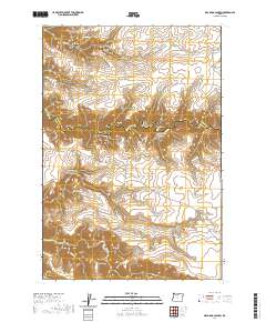 2020 Dead Dog Canyon2020 Print · USGSWasco and Sherman Counties meet along the deep breaks of Buck Hollow Cr in this recent survey of Central Oregon's high desert. Genealogists and local historians can locate the Buzan Cem and trace long-standing routes like Bakeoven Rd through the complex terrain of Johnson Ridge.
Showing maps 1-25 of 141
Top cities of Wasco County
- The Dalles historical maps
- Chenowith historical maps
- Dufur historical maps
- Maupin historical maps
- Mosier historical maps
- Antelope historical maps
See more
Frequently asked questions
- What are the different types of historical maps available for Wasco County?
- What is the oldest map of Wasco County?
- Where can I purchase historical maps of Wasco County for my home or office?
- Where can I download high-res historical maps of Wasco County?
- Are there historical topographic maps available for Wasco County?
- Is there historical aerial imagery available for Wasco County?
- Where are historical maps of Wasco County sourced from?