2020s Maps of Marion County, South Carolina
Explore 40 historic maps of Marion County from the 2020s. These maps offer a rare glimpse into what life looked like during the 2020s — showing old roads, neighborhoods, homes, and landmarks that have changed or disappeared over time.
Whether you're researching your family's past, planning a metal detecting trip, or studying how Marion County's landscape evolved across the 2020s, these high-resolution maps are a powerful tool for exploring the history of this region.
- Focus on a specific era: All maps on this page are from the 2020s, giving you a focused view of this time period.
- See what’s changed: Compare century-old streets, trails, and buildings to today's modern landscape using overlays and satellite layers.
- Research with precision: Use these maps for genealogy, historical research, land use analysis, or educational projects.
- View, download, or print: Maps are fully viewable online in high resolution, and can be downloaded or printed for your own records.
Start exploring Marion County's history through authentic maps from the 2020s. This is your window into the past.
Marion County, SC maps
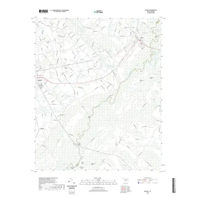
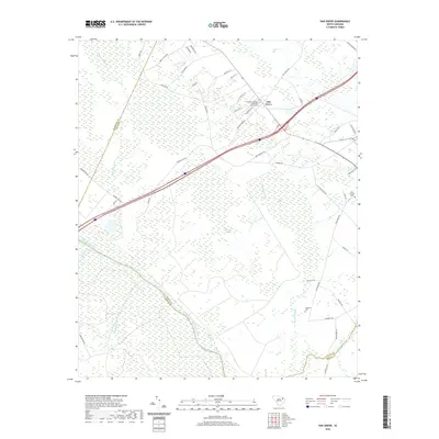
(40)- 2020 Map of Lake View, 2020 Print
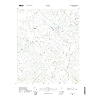 2020 Lake View2020 Print · USGSCovers Marion County, including Lake View, Marietta, and other nearby areas
 - 2020 Map of Mullins, 2020 Print
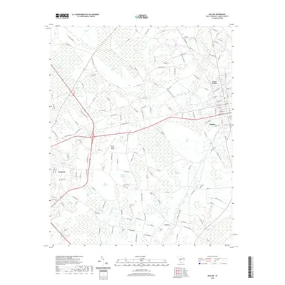 2020 Mullins2020 Print · USGSCovers Marion County, including Marion, Mullins, and other nearby areas
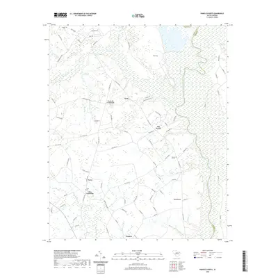
 - 2020 Map of Friendship, 2020 Print
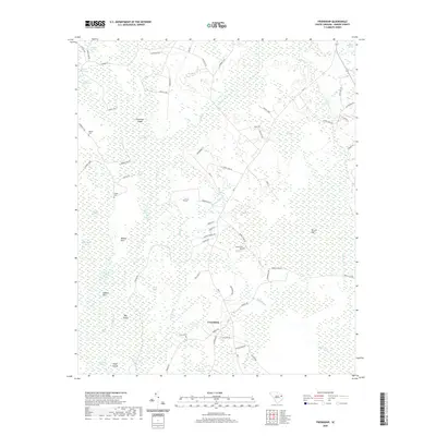 2020 Friendship2020 Print · USGSCovers Marion County, including Friendship, Tabernacle, and other nearby areas
 - 2020 Map of Galivants Ferry, 2020 Print
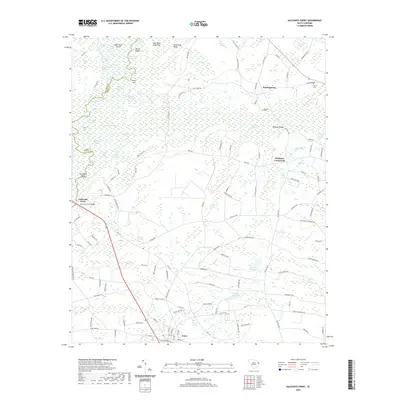 2020 Galivants Ferry2020 Print · USGSCovers Marion County, including Aynor, McQueen Crossroads, and other nearby areas
 - 2020 Map of Nichols, 2020 Print
 2020 Nichols2020 Print · USGSCovers Marion County, including Mullins, Nichols, and other nearby areas
 - 2020 Map of Centenary, 2020 Print
 2020 Centenary2020 Print · USGSCovers Marion County, including Rains, Davis Landing, and other nearby areas
 - 2020 Map of Latta, 2020 Print
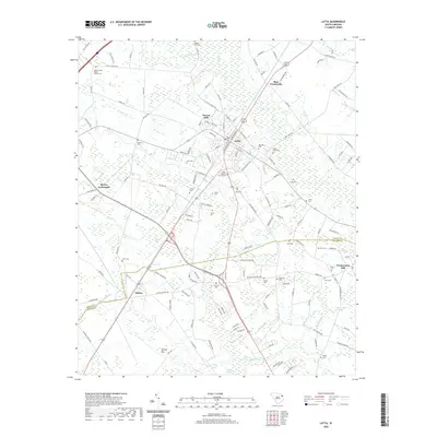 2020 Latta2020 Print · USGSCovers Marion County, including Sellers, Bass Crossroads, and other nearby areas
 - 2020 Map of Marion, 2020 Print
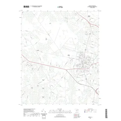 2020 Marion2020 Print · USGSCovers Marion County, including Marion, Laughlin, and other nearby areas
 - 2020 Map of Fork, 2020 Print
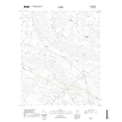 2020 Fork2020 Print · USGSCovers Marion County, including Pittman Corner, Floydale, and other nearby areas
 - 2020 Map of Brittons Neck, 2020 Print
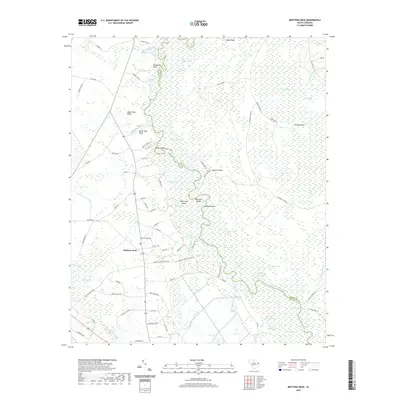 2020 Brittons Neck2020 Print · USGSCovers Marion County, including Peters Ferry Landing, Brittons Neck, and other nearby areas
 - 2020 Map of Yauhannah, 2020 Print
 2020 Yauhannah2020 Print · USGSCovers Marion County, including Yauhannah, Gilbert Crossroads, and other nearby areas
 - 2020 Map of Dongola, 2020 Print
 2020 Dongola2020 Print · USGSCovers Marion County, including Oakey Bay, Twelvemile, and other nearby areas
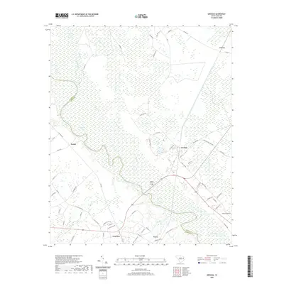
 - 2020 Map of Outland, 2020 Print
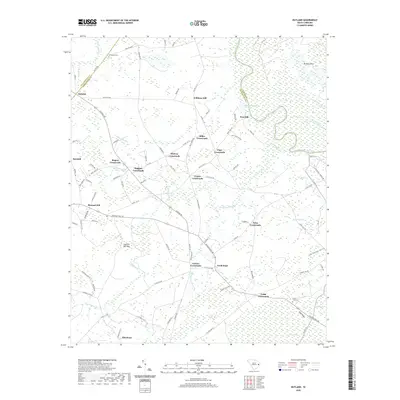 2020 Outland2020 Print · USGSCovers Marion County, including Center Crossroads, Allentown, and other nearby areas
 - 2020 Map of Johnsonville, 2020 Print
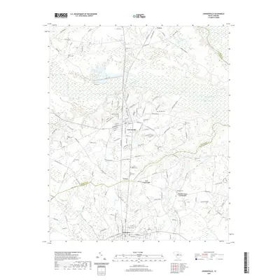 2020 Johnsonville2020 Print · USGSCovers Marion County, including Johnsonville, Hemingway, and other nearby areas
 - 2020 Map of Pamplico South, 2020 Print
 2020 Pamplico South2020 Print · USGSCovers Marion County, including Pamplico, Flemingtown, and other nearby areas
 - 2020 Map of Gresham, 2020 Print
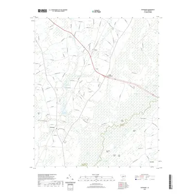
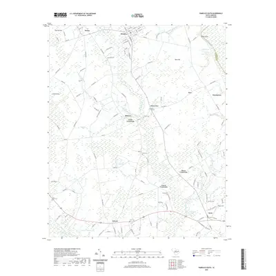
 2020 Gresham2020 Print · USGSCovers Marion County, including Kingsburg, Gresham, and other nearby areas
 - 2020 Map of Pee Dee, 2020 Print
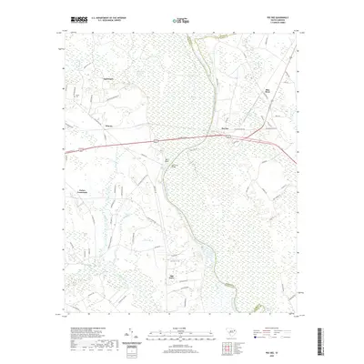 2020 Pee Dee2020 Print · USGSCovers Marion County, including Oak Grove, Carter Landing, and other nearby areas
 - 2020 Map of Oak Grove, 2020 Print
 2020 Oak Grove2020 Print · USGSCovers Marion County, including Oak Grove, Dillon County, and other nearby areas
 - 2020 Map of Pamplico North, 2020 Print
 2020 Pamplico North2020 Print · USGSCovers Marion County, including Pamplico, Kennedy Crossroads, and other nearby areas
 - 2020 Map of Snow Island, 2020 Print
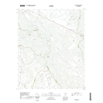 2020 Snow Island2020 Print · USGSCovers Marion County, including Sampson Landing, Horry County, and other nearby areas
 - 2024 Map of Nichols, 2024 Print
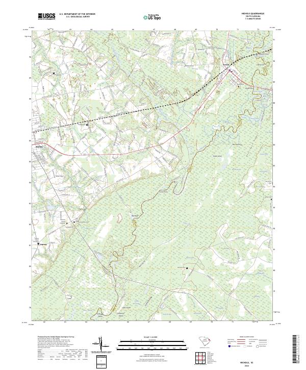 2024 Nichols2024 Print · USGSThe confluence of the Lumber and Little Pee Dee Rivers defines this region as it appeared in the early twenty-first century. Genealogists can locate family burial sites at Gapway Church Graveyard and McMillan Cem, while tracing historical river crossings at Grices Ferry.
 - 2024 Map of Johnsonville, 2024 Print
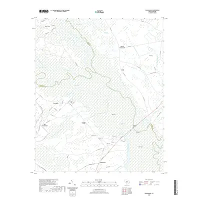
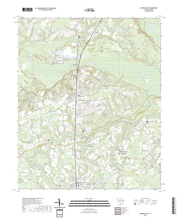 2024 Johnsonville2024 Print · USGSThe Florence and Williamsburg county borderlands are documented here in detail, centered on the river-fed landscape around Johnsonville. Researchers can locate numerous family and community sites, from Duboses Ferry to Old Johnsonville Church Graveyard.
 - 2024 Map of Centenary, 2024 Print
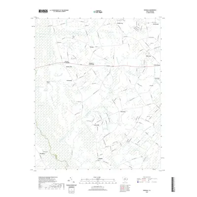
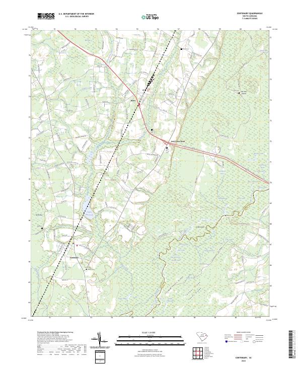 2024 Centenary2024 Print · USGSThe Marion County lowcountry is defined here by its complex river systems and family-named landmarks. Genealogists can locate numerous rural burial sites like Palmer Cem and Saint James Cem tucked between Back Swamp and Big Sandy Ridge.
 - 2024 Map of Dongola, 2024 Print
 2024 Dongola2024 Print · USGSHorry County in the early twenty-first century remains a landscape of deep swamps and scattered crossroads settlements. Researchers can trace family ties at Old Antioch Cem, locate the historic Dongola area, and map the wet reaches of Big Cypress Swamp.
 - 2024 Map of Gresham, 2024 Print
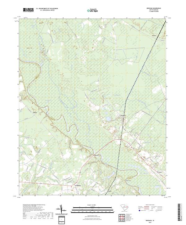 2024 Gresham2024 Print · USGSThe Great Pee Dee River floodplain at the Florence and Marion county line is captured in this recent survey. Local historians can trace old river crossings at Godfreys Ferry and Allison Ferry or locate the rural communities of Gresham and Kingsburg.
Showing maps 1-25 of 40
Top cities of Marion County
Frequently asked questions
- What are the different types of historical maps available for Marion County?
- What is the oldest map of Marion County?
- Where can I purchase historical maps of Marion County for my home or office?
- Where can I download high-res historical maps of Marion County?
- Are there historical topographic maps available for Marion County?
- Is there historical aerial imagery available for Marion County?
- Where are historical maps of Marion County sourced from?