Old Maps of Choteau Creek Township, South Dakota for Genealogy
Trace your family roots with 25 historic maps of Choteau Creek Township. These high-res maps reveal old neighborhoods, homesites, landmarks, and streets — helping you uncover where your ancestors lived and how the area evolved over time.
- Explore historic neighborhoods: Identify where your relatives may have lived in the 1800s or 1900s.
- Compare maps over time: Trace the changes in streets, buildings, and landmarks for multi-generational research.
- Perfect for genealogy & ancestry research: Used by family historians and researchers to map out lineage and migration.
These maps are an incredible resource for exploring your personal connection to Choteau Creek Township's past.
Choteau Creek Township, SD maps
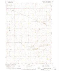
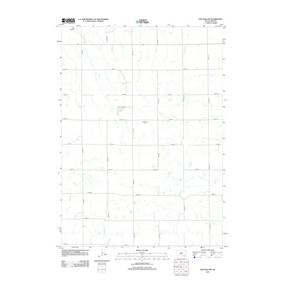
(25)- 1955 Map of Mitchell, 1973 Print
 1955 Mitchell1973 Print · USGSThe Missouri River valley undergoes a massive transformation in the mid-1950s as the Fort Randall Dam creates Lake Francis Case. You can trace the rail lines of the Chicago Milwaukee St Paul and Pacific through Mitchell or locate local landmarks like Butler Town Hall.2 unique versions available
 - 1959 Map of Mitchell
 1959 Mitchell1959 Print · USGSSouth Dakota’s river and rail corridors come alive in the late fifties as the Missouri River valley undergoes dramatic change. Genealogists and historians can trace family roots through numerous small towns and schools such as Academy, Stickney, and Gregory.2 unique versions available
 - 1972 Map of Dante, 1974 Print
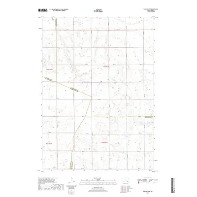
 1972 Dante1974 Print · USGSDante and the surrounding prairies of the Yankton Indian Reservation are captured here in the early 1970s. Local researchers can trace the Old Indian Treaty Boundary and locate family sites near United Cem and the Dante rail line.
 - 1977 Map of Oak Hollow
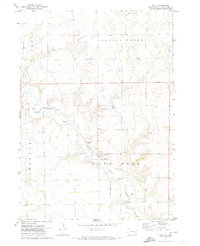
 1977 Oak Hollow1977 Print · USGSHutchinson County farmland is captured in sharp aerial detail during the late seventies, showing the precise layout of local agriculture. Genealogists and historians can locate specific farmsteads and water features like Tripp Lake and the drainage of Oak Hollow.
 - 1978 Map of Oak Hollow, 1979 Print
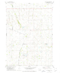 1978 Oak Hollow1979 Print · USGSHutchinson and Douglas counties meet along the Yankton Indian Reservation line in the late seventies. Family historians can locate rural landmarks like Oak Hollow Cem, Zion Cem, and the local Townhall near Tripp Lake.
 - 1978 Map of Avon, 1979 Print
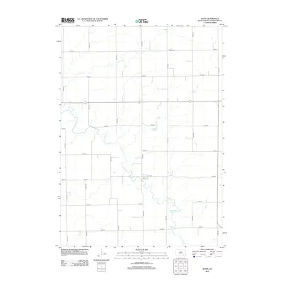
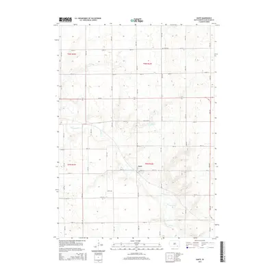
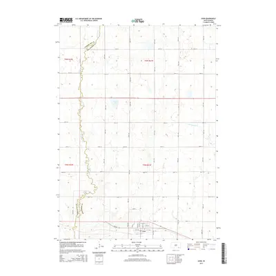
 1978 Avon1979 Print · USGSSettled along the railroad in the late seventies, this region of Bon Homme County shows a prairie landscape of grain and water. Trace local genealogy and land use near Avon through landmarks like Giedd Sch, the Cem, and the Choteau Creek wetlands.
 - 1978 Map of Greenwood Colony, 1979 Print
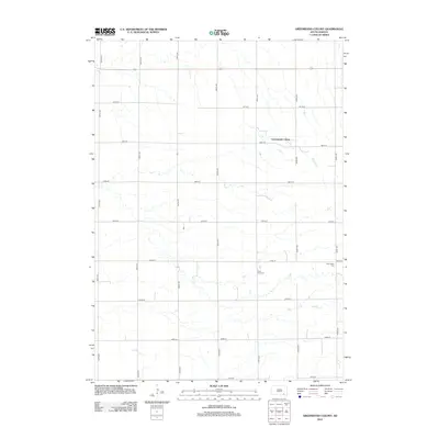
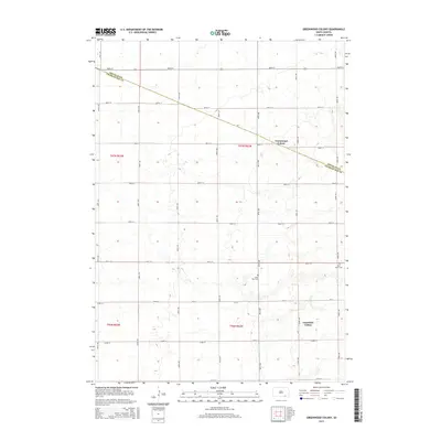
 1978 Greenwood Colony1979 Print · USGSThe Douglas and Charles Mix county line in the late 1970s shows a landscape of reservation boundaries and rural prairie settlements. Researchers can trace the layout of Greenwood Colony and find local landmarks such as St Pauls Ch and New Salem Cem.
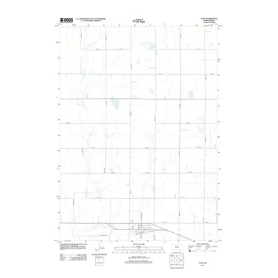
 - 1986 Map of Lake Andes
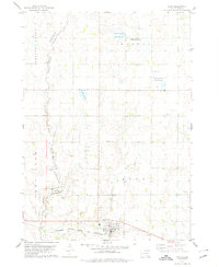
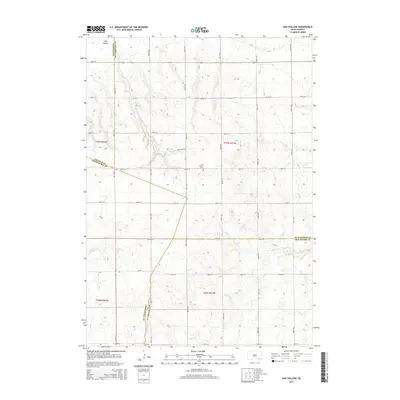
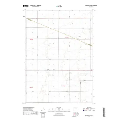
 1986 Lake Andes1986 Print · USGSThe Yankton Indian Reservation and the vast Missouri River impoundments define this South Dakota landscape in the mid-eighties. Researchers can trace old township lines and the Old Railroad Grade, or locate sites like Fort Randall and the Pleasant Ridge Cem.3 unique versions available
 - 1990 Map of Mitchell, 1991 Print
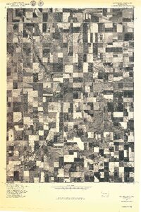
 1990 Mitchell1991 Print · USGSThe Missouri River and the surrounding South Dakota plains are captured here in the early nineties, showing a landscape shaped by water and wire. Genealogists and historians can trace the gridded townships from Mitchell to the Bijou Hills, locating sites like the Platte Colony and Academy.
 - 2012 Map of Avon, 2012 Print
 2012 Avon2012 Print · USGSCovers Choteau Creek Township, including Avon, Lone Tree Township, and other nearby areas
 - 2012 Map of Dante, 2012 Print
 2012 Dante2012 Print · USGSCovers Choteau Creek Township, including Dante, Lone Tree Township, and other nearby areas
 - 2012 Map of Greenwood Colony, 2012 Print
 2012 Greenwood Colony2012 Print · USGSCovers Choteau Creek Township, including East Choteau Township, Clearfield Hutterite Colony, and other nearby areas
 - 2012 Map of Oak Hollow, 2012 Print
 2012 Oak Hollow2012 Print · USGSCovers Choteau Creek Township, including Monroe Township, East Choteau Township, and other nearby areas
 - 2015 Map of Greenwood Colony, 2015 Print
 2015 Greenwood Colony2015 Print · USGSCovers Choteau Creek Township, including East Choteau Township, Clearfield Hutterite Colony, and other nearby areas
 - 2015 Map of Oak Hollow, 2015 Print
 2015 Oak Hollow2015 Print · USGSCovers Choteau Creek Township, including Monroe Township, East Choteau Township, and other nearby areas
 - 2015 Map of Dante, 2015 Print
 2015 Dante2015 Print · USGSCovers Choteau Creek Township, including Dante, Lone Tree Township, and other nearby areas
 - 2015 Map of Avon, 2015 Print
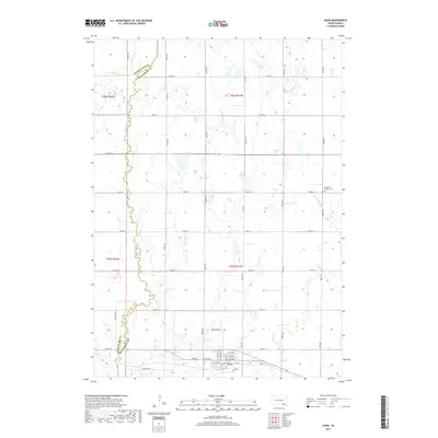
 2015 Avon2015 Print · USGSCovers Choteau Creek Township, including Avon, Lone Tree Township, and other nearby areas
 - 2017 Map of Avon, 2017 Print
 2017 Avon2017 Print · USGSCovers Choteau Creek Township, including Avon, Lone Tree Township, and other nearby areas
 - 2017 Map of Dante, 2017 Print
 2017 Dante2017 Print · USGSCovers Choteau Creek Township, including Dante, Lone Tree Township, and other nearby areas
 - 2017 Map of Oak Hollow, 2017 Print
 2017 Oak Hollow2017 Print · USGSCovers Choteau Creek Township, including Monroe Township, East Choteau Township, and other nearby areas
 - 2017 Map of Greenwood Colony, 2017 Print
 2017 Greenwood Colony2017 Print · USGSCovers Choteau Creek Township, including East Choteau Township, Clearfield Hutterite Colony, and other nearby areas
 - 2021 Map of Dante, 2021 Print
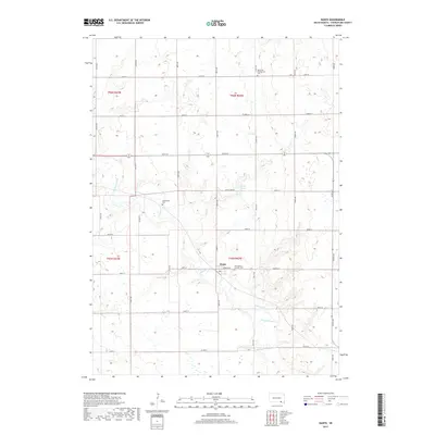
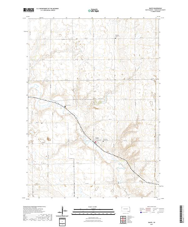 2021 Dante2021 Print · USGSDante and the surrounding Charles Mix County prairie are captured here in the early twenty-first century. Genealogists and local historians can locate family burial sites at Saint Mary's Catholic Cem, Bohemian Presbyterian Cem, and Greenwood Cem.
 - 2021 Map of Greenwood Colony, 2021 Print
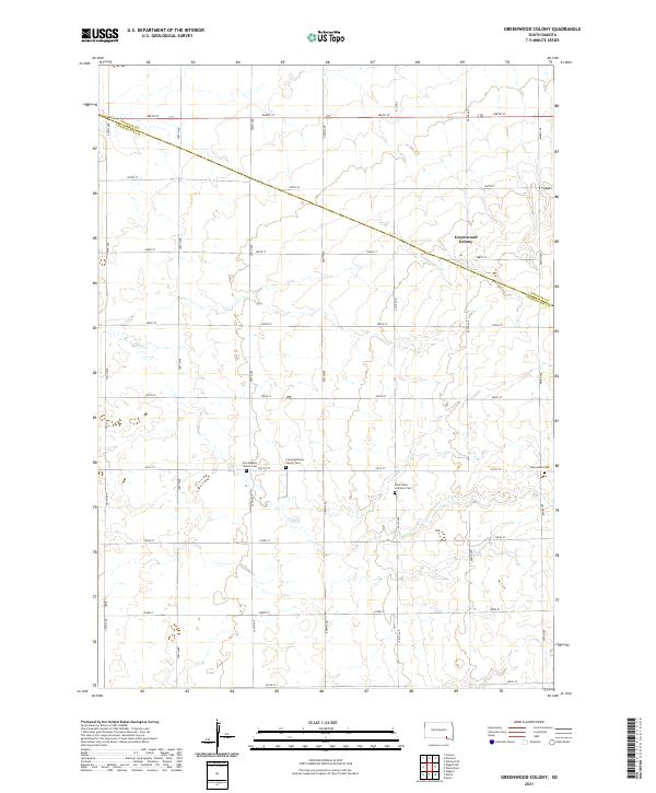 2021 Greenwood Colony2021 Print · USGSDouglas and Charles Mix counties are shown here as they appeared in the early 21st century, defined by vast agricultural grids. Genealogists can trace family burial sites at Zion Baptist Church Cem, New Salem Cem, and Saint Pauls Lutheran Cem.
 - 2021 Map of Avon, 2021 Print
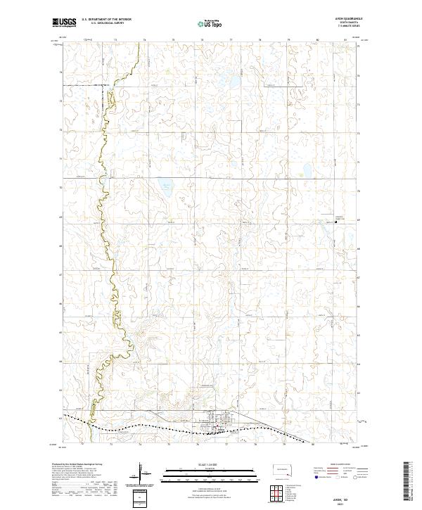 2021 Avon2021 Print · USGSThe rural landscape around Avon is captured here in the early twenty-first century as it spans the Bon Homme and Charles Mix county line. Genealogists and local researchers can trace the vicinity of Gramkow - Vesper Cem and the drainage of Dry Choteau Cr.
 - 2021 Map of Oak Hollow, 2021 Print
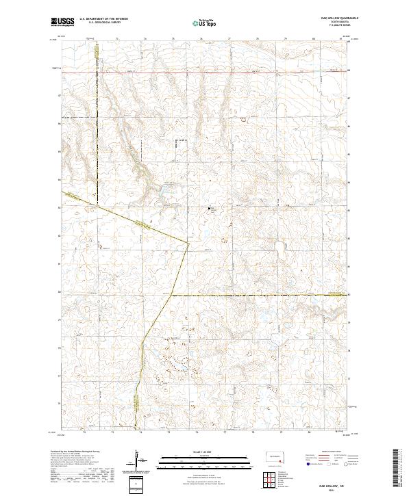 2021 Oak Hollow2021 Print · USGSHutchinson County at the turn of the decade is defined by its steady agricultural grid and prairie drainage. Researchers can trace the boundaries of four counties or locate local landmarks like Oak Hollow Cem, Tripp Lake, and the winding Oak Hollow.
End of results
Showing maps 1-25 of 25
Top cities near Choteau Creek Township
- Wagner historical maps
- Parkston historical maps
- Armour historical maps
- Tripp historical maps
- Avon historical maps
- Delmont historical maps
See more
Top neighborhoods of Choteau Creek Township
Frequently asked questions
- What are the different types of historical maps available for Choteau Creek Township?
- What is the oldest map of Choteau Creek Township?
- Where can I purchase historical maps of Choteau Creek Township for my home or office?
- Where can I download high-res historical maps of Choteau Creek Township?
- Are there historical topographic maps available for Choteau Creek Township?
- Is there historical aerial imagery available for Choteau Creek Township?
- Where are historical maps of Choteau Creek Township sourced from?