2000s (21st Century) Maps of Choteau Creek Township, South Dakota
Explore 16 historic maps of Choteau Creek Township from the 2000s (21st Century). These maps offer a rare glimpse into what life looked like during the 2000s — showing old roads, neighborhoods, homes, and landmarks that have changed or disappeared over time.
Whether you're researching your family's past, planning a metal detecting trip, or studying how Choteau Creek Township's landscape evolved across the 2000s, these high-resolution maps are a powerful tool for exploring the history of this region.
- Focus on a specific era: All maps on this page are from the 2000s, giving you a focused view of this time period.
- See what’s changed: Compare century-old streets, trails, and buildings to today's modern landscape using overlays and satellite layers.
- Research with precision: Use these maps for genealogy, historical research, land use analysis, or educational projects.
- View, download, or print: Maps are fully viewable online in high resolution, and can be downloaded or printed for your own records.
Start exploring Choteau Creek Township's history through authentic maps from the 2000s. This is your window into the past.
Choteau Creek Township, SD maps
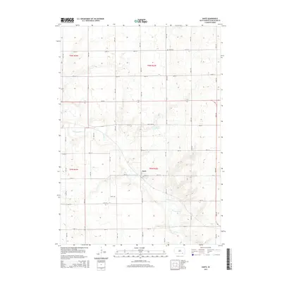
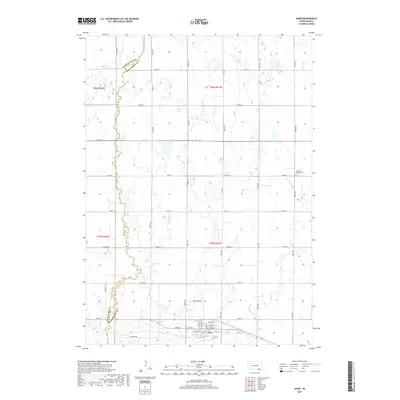
(16)- 2012 Map of Avon, 2012 Print
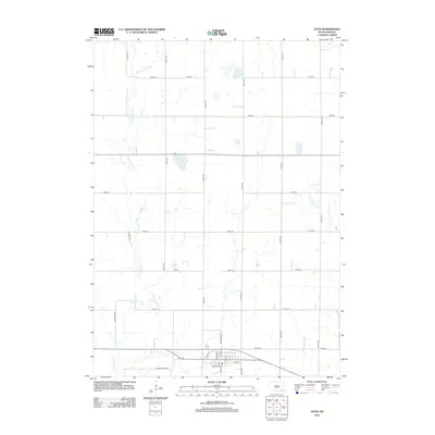 2012 Avon2012 Print · USGSCovers Choteau Creek Township, including Avon, Lone Tree Township, and other nearby areas
 - 2012 Map of Dante, 2012 Print
 2012 Dante2012 Print · USGSCovers Choteau Creek Township, including Dante, Lone Tree Township, and other nearby areas
 - 2012 Map of Greenwood Colony, 2012 Print
 2012 Greenwood Colony2012 Print · USGSCovers Choteau Creek Township, including East Choteau Township, Clearfield Hutterite Colony, and other nearby areas
 - 2012 Map of Oak Hollow, 2012 Print
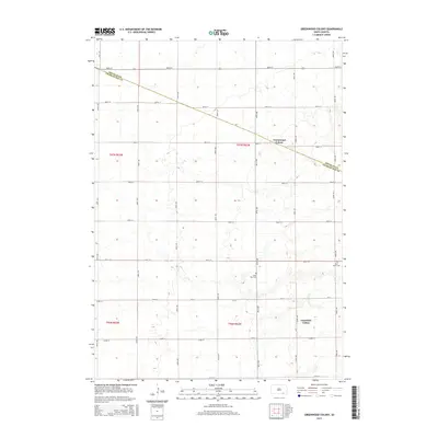
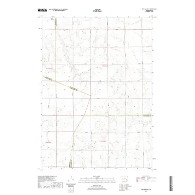
 2012 Oak Hollow2012 Print · USGSCovers Choteau Creek Township, including Monroe Township, East Choteau Township, and other nearby areas
 - 2015 Map of Greenwood Colony, 2015 Print
 2015 Greenwood Colony2015 Print · USGSCovers Choteau Creek Township, including East Choteau Township, Clearfield Hutterite Colony, and other nearby areas
 - 2015 Map of Oak Hollow, 2015 Print
 2015 Oak Hollow2015 Print · USGSCovers Choteau Creek Township, including Monroe Township, East Choteau Township, and other nearby areas
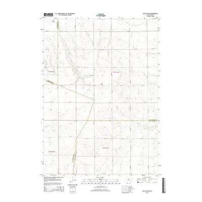
 - 2015 Map of Dante, 2015 Print
 2015 Dante2015 Print · USGSCovers Choteau Creek Township, including Dante, Lone Tree Township, and other nearby areas
 - 2015 Map of Avon, 2015 Print
 2015 Avon2015 Print · USGSCovers Choteau Creek Township, including Avon, Lone Tree Township, and other nearby areas
 - 2017 Map of Avon, 2017 Print
 2017 Avon2017 Print · USGSCovers Choteau Creek Township, including Avon, Lone Tree Township, and other nearby areas
 - 2017 Map of Dante, 2017 Print
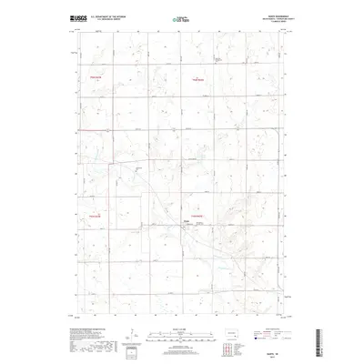 2017 Dante2017 Print · USGSCovers Choteau Creek Township, including Dante, Lone Tree Township, and other nearby areas
 - 2017 Map of Oak Hollow, 2017 Print
 2017 Oak Hollow2017 Print · USGSCovers Choteau Creek Township, including Monroe Township, East Choteau Township, and other nearby areas
 - 2017 Map of Greenwood Colony, 2017 Print
 2017 Greenwood Colony2017 Print · USGSCovers Choteau Creek Township, including East Choteau Township, Clearfield Hutterite Colony, and other nearby areas
 - 2021 Map of Dante, 2021 Print
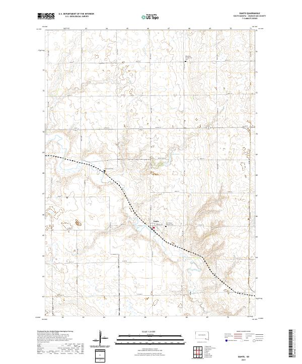 2021 Dante2021 Print · USGSDante and the surrounding Charles Mix County prairie are captured here in the early twenty-first century. Genealogists and local historians can locate family burial sites at Saint Mary's Catholic Cem, Bohemian Presbyterian Cem, and Greenwood Cem.
 - 2021 Map of Greenwood Colony, 2021 Print
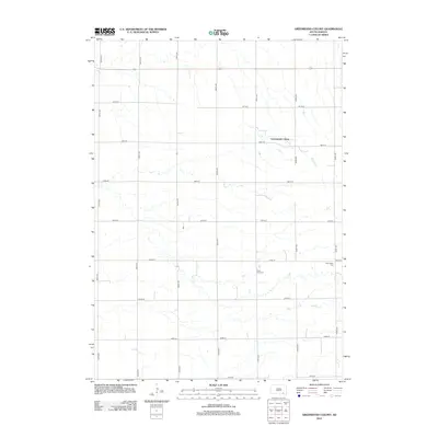
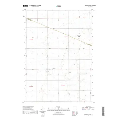
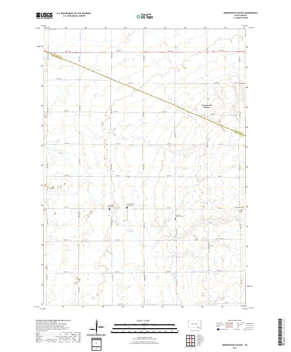 2021 Greenwood Colony2021 Print · USGSDouglas and Charles Mix counties are shown here as they appeared in the early 21st century, defined by vast agricultural grids. Genealogists can trace family burial sites at Zion Baptist Church Cem, New Salem Cem, and Saint Pauls Lutheran Cem.
 - 2021 Map of Avon, 2021 Print
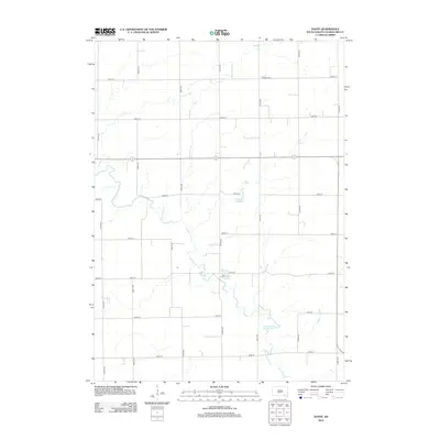
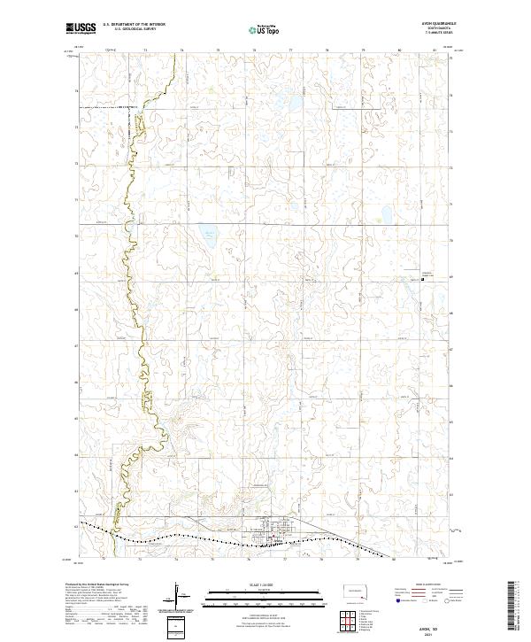 2021 Avon2021 Print · USGSThe rural landscape around Avon is captured here in the early twenty-first century as it spans the Bon Homme and Charles Mix county line. Genealogists and local researchers can trace the vicinity of Gramkow - Vesper Cem and the drainage of Dry Choteau Cr.
 - 2021 Map of Oak Hollow, 2021 Print
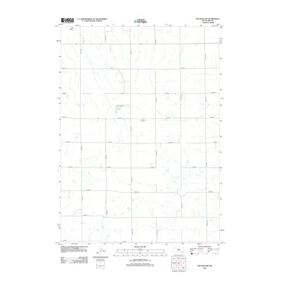
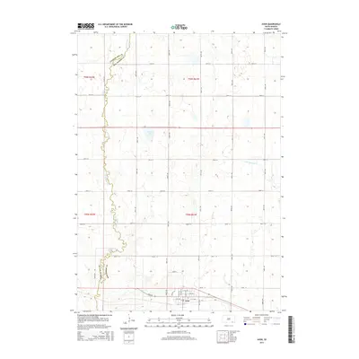
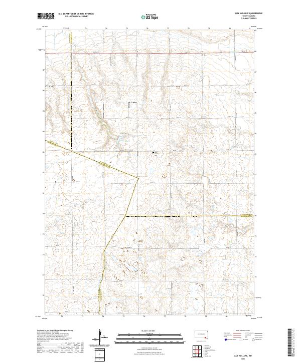 2021 Oak Hollow2021 Print · USGSHutchinson County at the turn of the decade is defined by its steady agricultural grid and prairie drainage. Researchers can trace the boundaries of four counties or locate local landmarks like Oak Hollow Cem, Tripp Lake, and the winding Oak Hollow.
End of results
Showing maps 1-16 of 16
Top cities near Choteau Creek Township
- Wagner historical maps
- Parkston historical maps
- Armour historical maps
- Tripp historical maps
- Avon historical maps
- Delmont historical maps
See more
Top neighborhoods of Choteau Creek Township
Frequently asked questions
- What are the different types of historical maps available for Choteau Creek Township?
- What is the oldest map of Choteau Creek Township?
- Where can I purchase historical maps of Choteau Creek Township for my home or office?
- Where can I download high-res historical maps of Choteau Creek Township?
- Are there historical topographic maps available for Choteau Creek Township?
- Is there historical aerial imagery available for Choteau Creek Township?
- Where are historical maps of Choteau Creek Township sourced from?