2020s Maps of Custer County, South Dakota
Explore 43 historic maps of Custer County from the 2020s. These maps offer a rare glimpse into what life looked like during the 2020s — showing old roads, neighborhoods, homes, and landmarks that have changed or disappeared over time.
Whether you're researching your family's past, planning a metal detecting trip, or studying how Custer County's landscape evolved across the 2020s, these high-resolution maps are a powerful tool for exploring the history of this region.
- Focus on a specific era: All maps on this page are from the 2020s, giving you a focused view of this time period.
- See what’s changed: Compare century-old streets, trails, and buildings to today's modern landscape using overlays and satellite layers.
- Research with precision: Use these maps for genealogy, historical research, land use analysis, or educational projects.
- View, download, or print: Maps are fully viewable online in high resolution, and can be downloaded or printed for your own records.
Start exploring Custer County's history through authentic maps from the 2020s. This is your window into the past.
Custer County, SD maps
(43)- 2021 Map of Dewey, 2021 Print
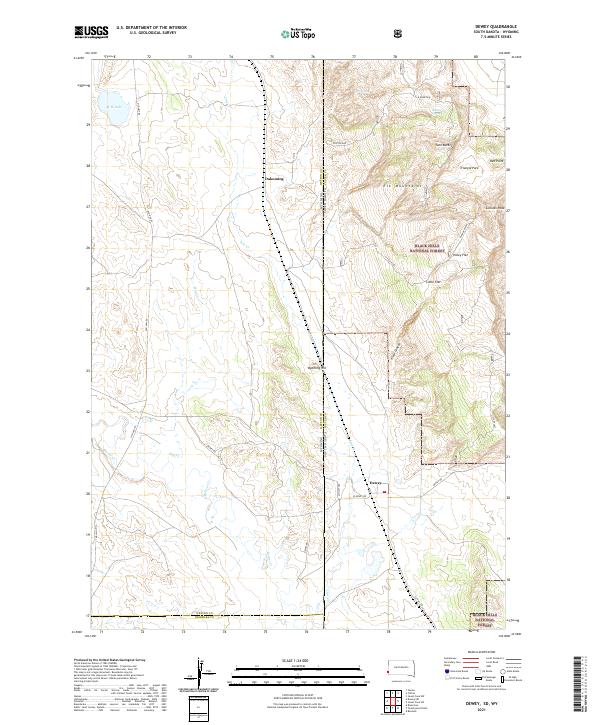 2021 Dewey2021 Print · USGSCuster County ranch lands meet the Black Hills high country in the early 2020s. Genealogists and historians can trace the border-straddling settlements of Dewey and Dakoming or locate family landmarks near Carr Spring and Holey Flat.
 - 2021 Map of Red Shirt NE, 2021 Print
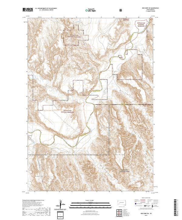 2021 Red Shirt NE2021 Print · USGSThe high tablelands of Custer and Pennington Counties are documented here as they appeared in 2021. Researchers can trace the winding Cheyenne River and locate remote landmarks like Plenty Star Table, Blindman Table, and Battle Creek Canyon.
 - 2021 Map of Hayward, 2021 Print
 2021 Hayward2021 Print · USGSPennington and Custer counties appear here in the modern era as a well-mapped portion of the Black Hills National Forest. Local historians can trace the paths of Spokane Creek and Battle Creek or locate landmarks like Lakota Peak and Horseshoe Spr.
 - 2021 Map of Cicero Peak, 2021 Print
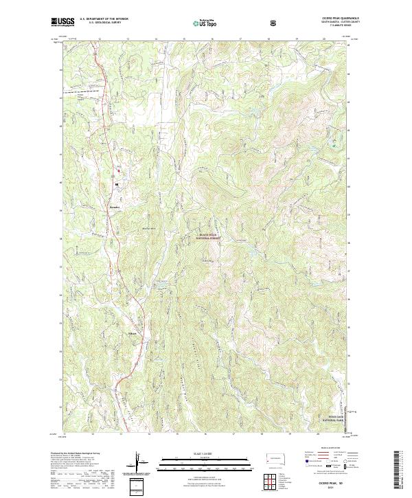 2021 Cicero Peak2021 Print · USGSThe Black Hills south of Custer are captured here in the early twenty-first century, showing the intersection of forestry and recreation. Researchers can trace the path of the George S. Mickelson Trl past the old settlement of Sanator and family-named features like Beecher Rock.
 - 2021 Map of Minnekahta NE, 2021 Print
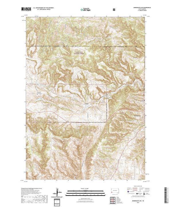 2021 Minnekahta NE2021 Print · USGSThe southern Black Hills near Hot Springs are captured here in the early twenty-first century as the landscape transitions into deep canyon country. Genealogists and local historians can locate the Minnekahta Valley Cem and Erskine along the banks of Hot Brook.
 - 2021 Map of Minnekahta, 2021 Print
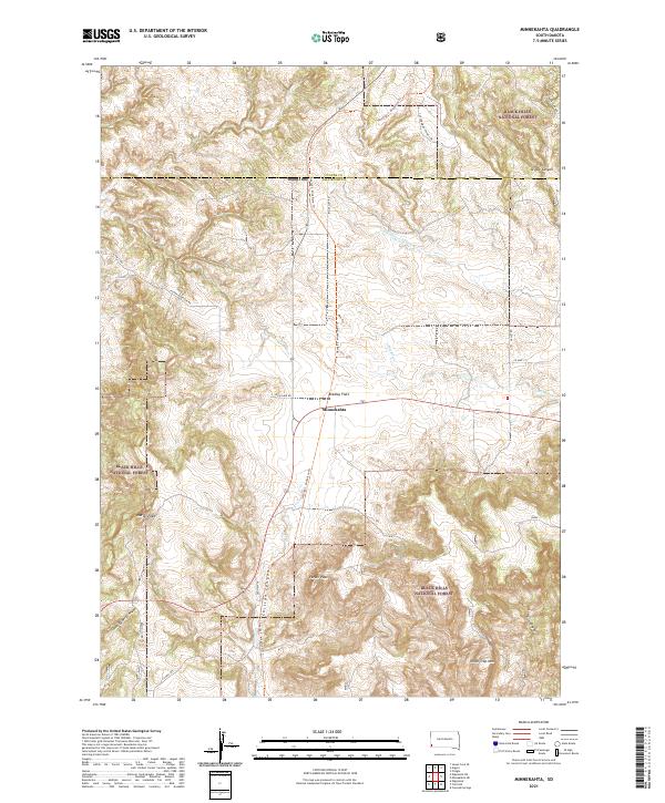 2021 Minnekahta2021 Print · USGSThe Black Hills of South Dakota meet the plains at the settlement of Minnekahta during the early twenty-first century. Genealogists and hikers can trace the George S. Mickelson Trl through canyon country, identifying landmarks like Parker Peak and Chilson Canyon.
 - 2021 Map of Mount Coolidge, 2021 Print
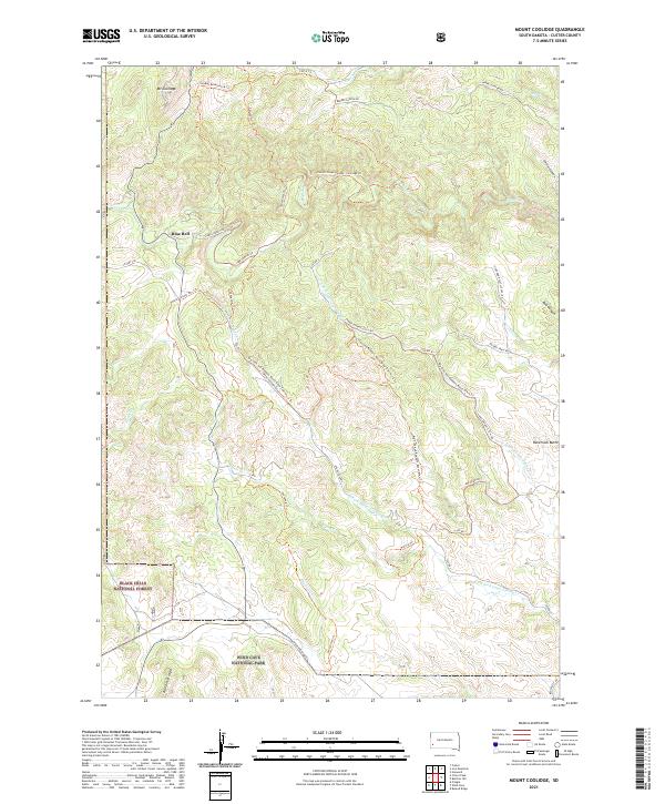 2021 Mount Coolidge2021 Print · USGSCuster County's rugged Black Hills terrain is meticulously documented in the early 2020s, highlighting the intersection of national forest and park lands. Researchers can trace remote backcountry routes like Lame Johnny Rd and locate landmarks such as Mt Coolidge and Racetrack Butte.
 - 2021 Map of Signal Hill, 2021 Print
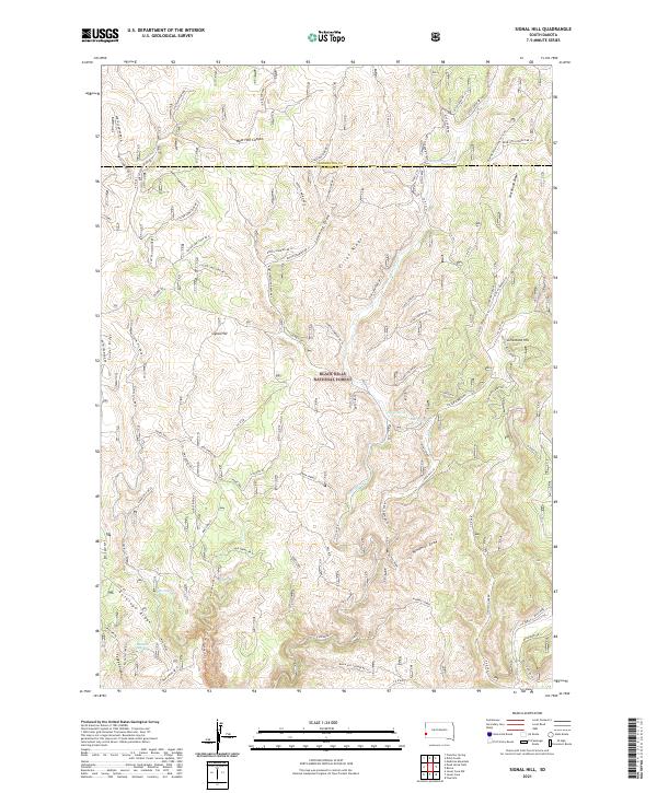 2021 Signal Hill2021 Print · USGSPennington and Custer counties come together in this contemporary look at the western Black Hills. Researchers and outdoorsmen can trace the rugged network of forest roads and named water sources like Alkali Spring, Signal Hill, and West Hell Canyon.
 - 2021 Map of Fairburn, 2021 Print
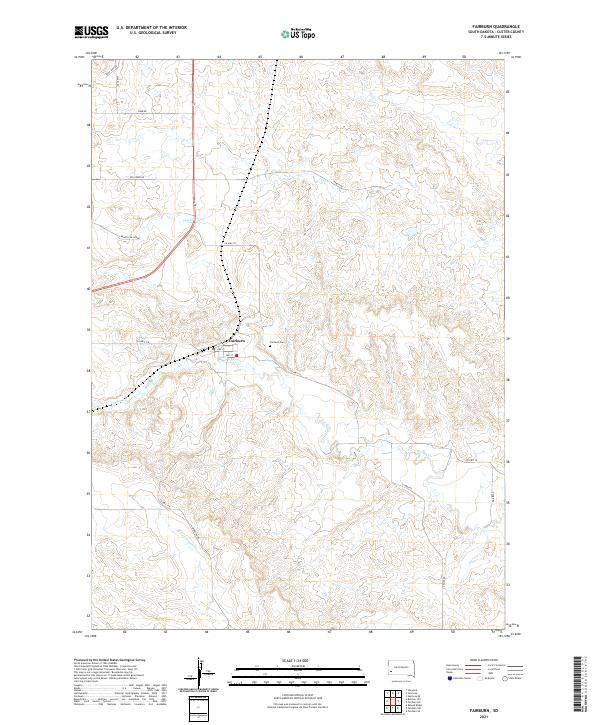 2021 Fairburn2021 Print · USGSFairburn and the surrounding Custer County ranchlands are captured here in the early twenty-first century. Researchers can trace local landmarks like Fairburn Cem and the winding course of French Cr or S Fork French Cr.
 - 2021 Map of Boland Ridge, 2021 Print
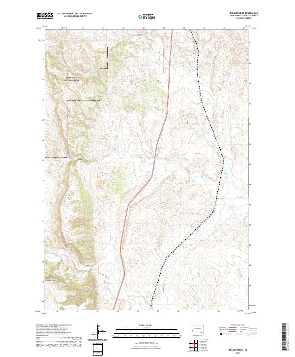 2021 Boland Ridge2021 Print · USGSCuster County's rugged eastern slopes are captured here in the early 2020s, showing the intersection of protected wilderness and local ranchlands. Trace the jagged boundaries of Wind Cave National Park or follow the natural passes through Buffalo Gap and Fuson Canyon.
 - 2021 Map of Hermosa, 2021 Print
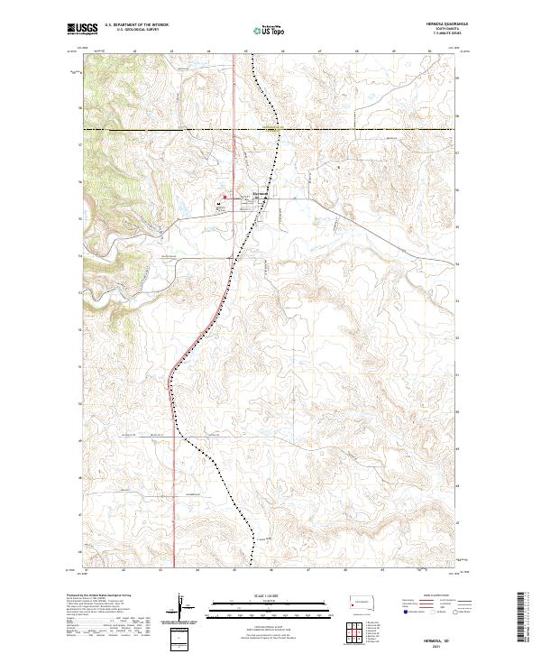 2021 Hermosa2021 Print · USGSHermosa and the ranchlands of Custer County are captured in this 2021 survey as the regional road network weaves through the Black Hills foothills. Genealogists can locate family-named routes like Mielke Pl and Hasselstrom Pl or trace drainage at L Seven Draw.
 - 2021 Map of Berne, 2021 Print
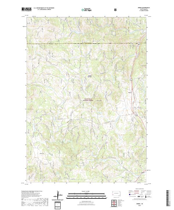 2021 Berne2021 Print · USGSThe Black Hills of South Dakota are shown here in the modern era, centered on the recreational corridor between Berne and Custer. Trace the George S. Mickelson Trl past landmarks like Medicine Mtn, Bugtown Gulch, and Vestal Springs.
 - 2021 Map of Red Shirt SW, 2021 Print
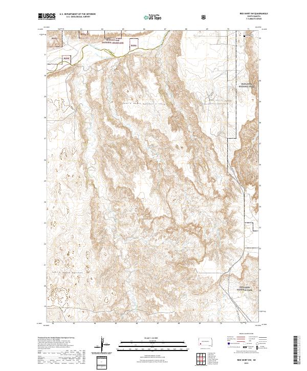 2021 Red Shirt SW2021 Print · USGSThe Oglala Lakota and Custer county borderlands come alive in this 2021 survey of the rugged plains and eroded tables. Genealogists and researchers can trace the location of the Christ Church Episcopal Cem or follow the path of BIA HWY 41 as it skirts the Badlands National Park.
 - 2021 Map of Dead Horse Flats, 2021 Print
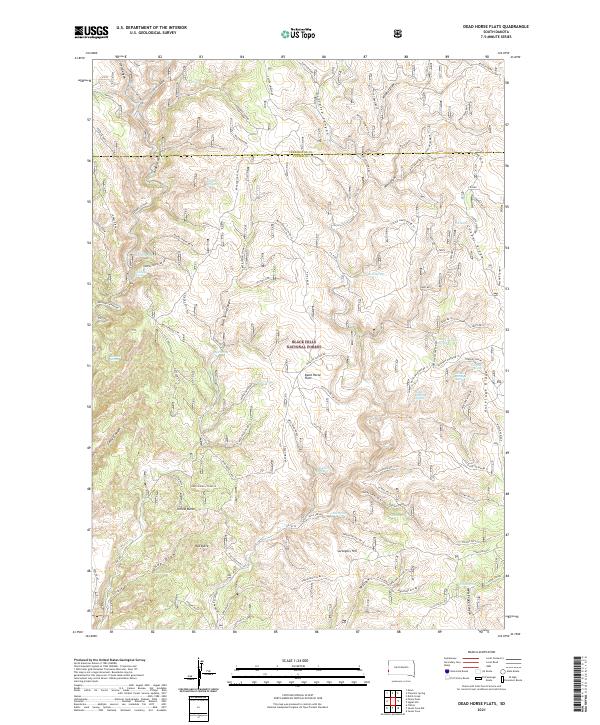 2021 Dead Horse Flats2021 Print · USGSThe southern Black Hills are captured here in the early twenty-first century, showing a remote landscape of canyons and ridges along the Pennington and Custer County line. Local historians and hunters can trace the terrain from Yellow Butte to the springs at Dead Horse Flats and The Seeps.
 - 2021 Map of Buffalo Gap, 2021 Print
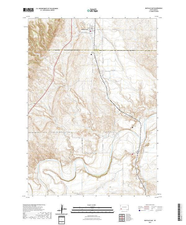 2021 Buffalo Gap2021 Print · USGSBuffalo Gap and the surrounding river breaks are captured in detail in the early 2020s. Genealogists and historians can trace family ties at the Buffalo Gap Cem and Hines Cem or follow the winding course of the Cheyenne River.
 - 2021 Map of Butcher Hill, 2021 Print
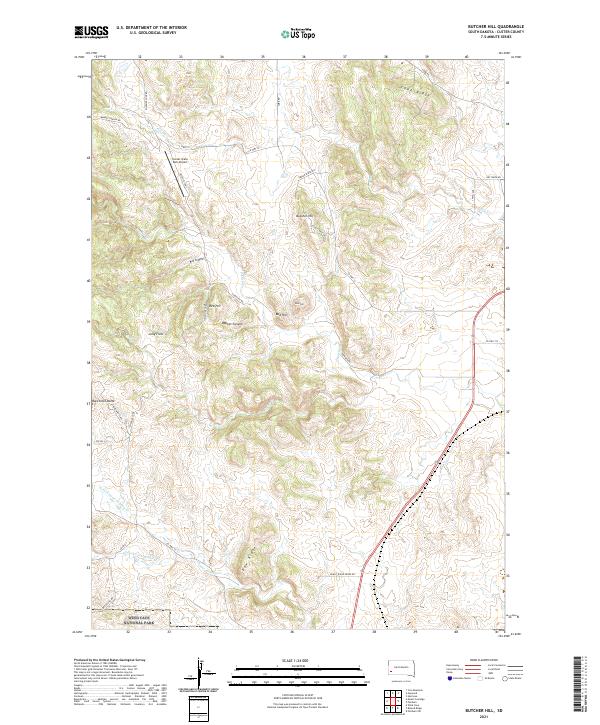 2021 Butcher Hill2021 Print · USGSCuster County's rugged ridge country is captured here in the modern era, showing the intersection of protected parklands and rural access. Researchers can trace the boundaries of Wind Cave National Park and locate landmarks like Butcher Hill and Custer State Park Airport.
 - 2021 Map of Custer, 2021 Print
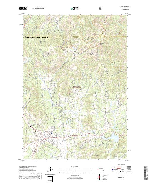 2021 Custer2021 Print · USGSCuster and the surrounding Black Hills peaks are shown in this modern survey of the South Dakota highlands. Trace local history through the Custer Cem and Custer County Courthouse or explore the rugged trails surrounding Black Elk Peak and The Needles.
 - 2021 Map of Argyle, 2021 Print
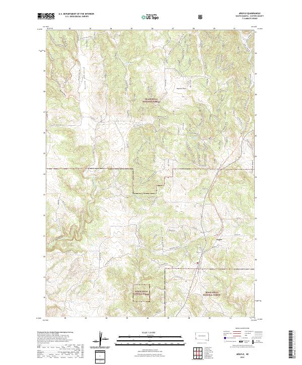 2021 Argyle2021 Print · USGSArgyle and the surrounding Black Hills highlands are captured here in the early twenty-first century. Researchers can trace land use patterns across Hopkins Flats and locate remote landmarks like Dallan Spring and the steep walls of Red Canyon.
 - 2021 Map of Burdock, 2021 Print
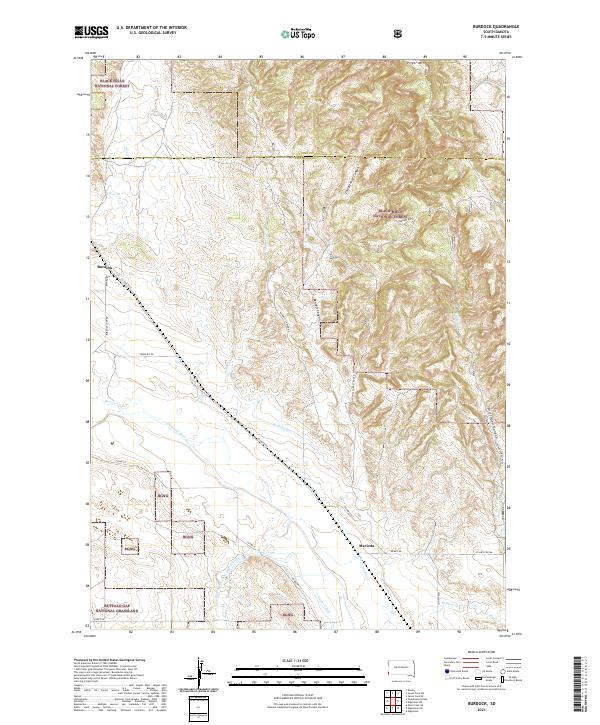 2021 Burdock2021 Print · USGSThe Black Hills and Buffalo Gap Grasslands meet in this recent South Dakota survey, showcasing the high-desert terrain near the Custer and Fall River county line. Researchers can locate the small settlements of Burdock and Marietta or trace water rights through Griffis Canal and Tubbs Canal.
 - 2021 Map of Edgemont NE, 2021 Print
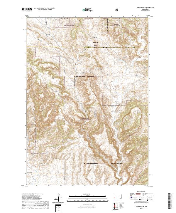 2021 Edgemont NE2021 Print · USGSFall River and Custer counties appear here in the early twenty-first century, showing the intersection of managed timberland and rugged drainage basins. Researchers can trace historic access routes and natural landmarks like Robinson Flats, Red Canyon, and the Coal Ridge Trl.
 - 2021 Map of Fairburn NE, 2021 Print
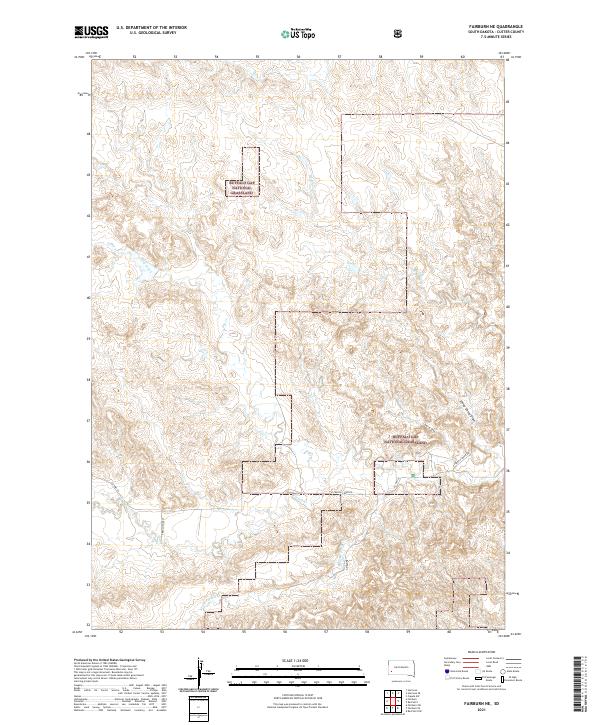 2021 Fairburn NE2021 Print · USGSCuster County's expansive prairie and creek systems are captured here in the early twenty-first century. Researchers can trace land boundaries within the Buffalo Gap National Grassland and follow the paths of French Cr and CO HWY 18.
 - 2021 Map of Wind Cave, 2021 Print
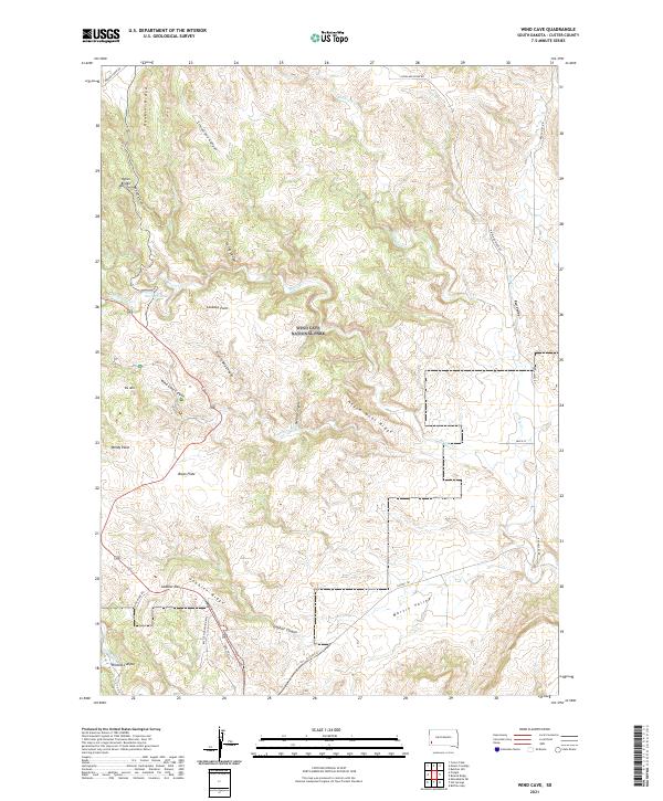 2021 Wind Cave2021 Print · USGSCuster County's diverse landscape is preserved in this 2021 survey of the Black Hills region. Researchers can trace the unique topography of Wind Cave National Park and find specific landmarks like Pigtail Bridge and Bison Flats.
 - 2021 Map of Fairburn SW, 2021 Print
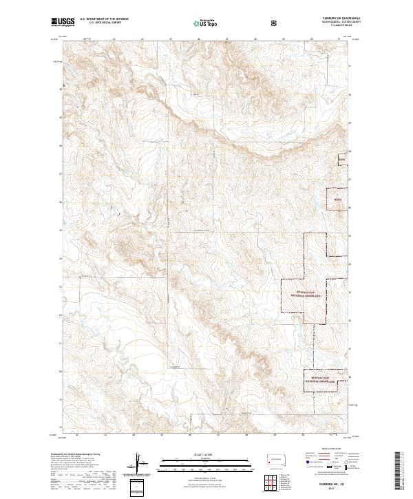 2021 Fairburn SW2021 Print · USGSCuster County's grassland and creek beds are captured in this recent survey of the Black Hills foothills. Researchers can trace the winding paths of Lame Johnny Cr and Cottonwood Cr alongside rural routes like the Cottonwood Cutoff.
 - 2021 Map of Smithwick NW, 2021 Print
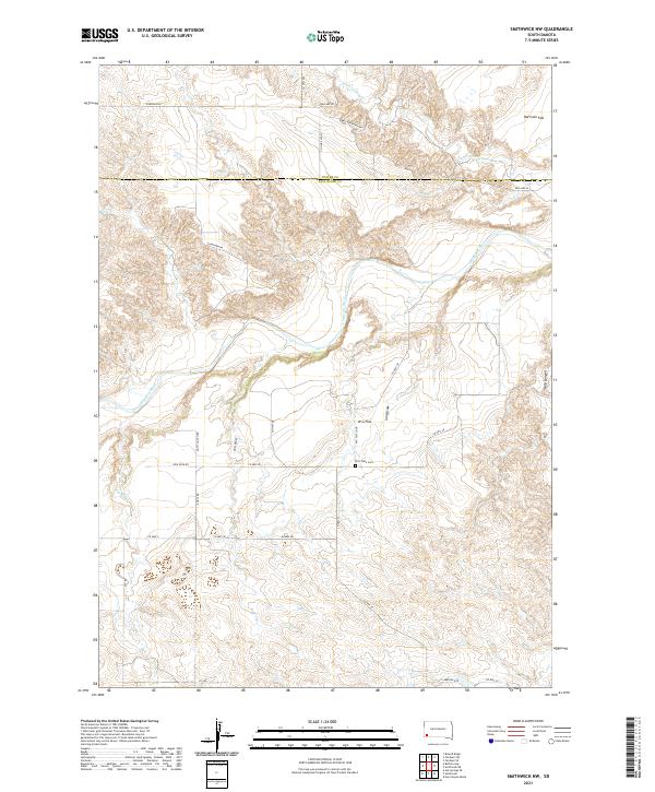 2021 Smithwick NW2021 Print · USGSThe high plains of southwestern South Dakota are mapped here in the modern era, showing the intersection of Custer and Fall River counties. Researchers can trace the path of the Cheyenne River and locate the historic W G Flats Cem near W G Flat.
 - 2021 Map of Jewel Cave NW, 2021 Print
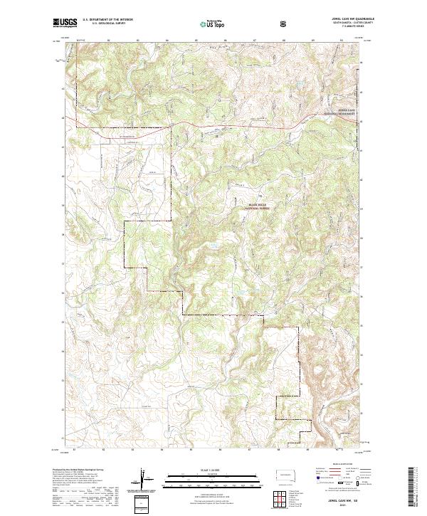 2021 Jewel Cave NW2021 Print · USGSThe western Black Hills and the edge of Jewel Cave National Monument are documented here in the early twenty-first century. Genealogists and hikers can trace old ranching landmarks like Sallee Ranch or locate remote backcountry water at Jumpoff Spring and Lost Spring.
Showing maps 1-25 of 43
Top cities of Custer County
- Custer historical maps
- Hermosa historical maps
- Buffalo Gap historical maps
- Pringle historical maps
- Fairburn historical maps
Frequently asked questions
- What are the different types of historical maps available for Custer County?
- What is the oldest map of Custer County?
- Where can I purchase historical maps of Custer County for my home or office?
- Where can I download high-res historical maps of Custer County?
- Are there historical topographic maps available for Custer County?
- Is there historical aerial imagery available for Custer County?
- Where are historical maps of Custer County sourced from?