2000s (21st Century) Maps of Custer County, South Dakota
Explore 169 historic maps of Custer County from the 2000s (21st Century). These maps offer a rare glimpse into what life looked like during the 2000s — showing old roads, neighborhoods, homes, and landmarks that have changed or disappeared over time.
Whether you're researching your family's past, planning a metal detecting trip, or studying how Custer County's landscape evolved across the 2000s, these high-resolution maps are a powerful tool for exploring the history of this region.
- Focus on a specific era: All maps on this page are from the 2000s, giving you a focused view of this time period.
- See what’s changed: Compare century-old streets, trails, and buildings to today's modern landscape using overlays and satellite layers.
- Research with precision: Use these maps for genealogy, historical research, land use analysis, or educational projects.
- View, download, or print: Maps are fully viewable online in high resolution, and can be downloaded or printed for your own records.
Start exploring Custer County's history through authentic maps from the 2000s. This is your window into the past.
Custer County, SD maps
(169)- 2012 Map of Hermosa, 2012 Print
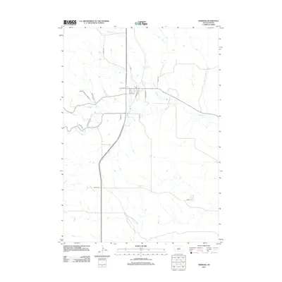 2012 Hermosa2012 Print · USGSHermosa and the eastern Custer County plains are captured here in the early twenty-first century as the landscape balances ranching life with modern transit. Researchers can trace the path of Battle Cr through the town center or locate local landmarks along Fire House Rd and Fairgrounds Pl.
 - 2012 Map of Mount Coolidge, 2012 Print
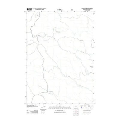 2012 Mount Coolidge2012 Print · USGSCuster County was a hub for outdoor recreation and natural preservation in the early twenty-first century. Genealogists and historians can trace the terrain around Blue Bell, Mount Coolidge, and the winding N Fork Lame Johnny Cr.
 - 2012 Map of Cicero Peak, 2012 Print
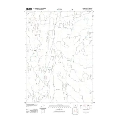 2012 Cicero Peak2012 Print · USGSCuster County’s high country near Cicero Peak is captured here during a period of modern ranching and mountain recreation. Researchers can trace historic family properties and water sources like Nihart, Sutherland Ranch, and Flynn Creek Spring.
 - 2012 Map of Fourmile, 2012 Print
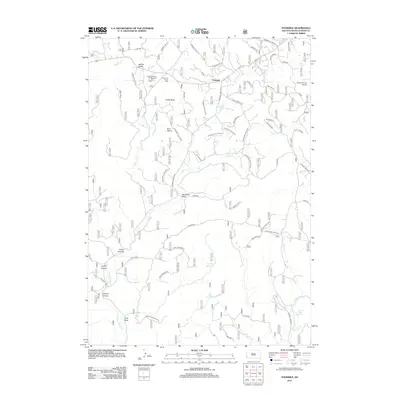 2012 Fourmile2012 Print · USGSFourmile and the surrounding Custer County landscape are captured here in the early twenty-first century as a mix of recreation and aviation infrastructure. Researchers can trace land features from Castle Rock and Twin Sisters to local sites like Comanche Park Campground and the Custer County Airport.
 - 2012 Map of Dead Horse Flats, 2012 Print
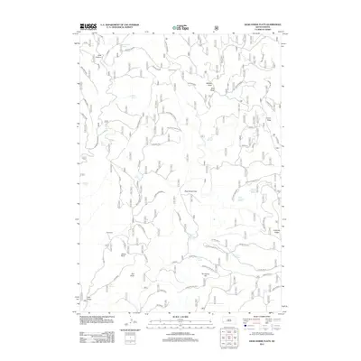 2012 Dead Horse Flats2012 Print · USGSPennington County ranching country is documented here in the early twenty-first century, showing a landscape defined by water and high-plateau terrain. Researchers can locate remote outposts like Wilson Ranch and trace vital water sources such as Dead Horse Spring and Townley Spring.
 - 2012 Map of Butcher Hill, 2012 Print
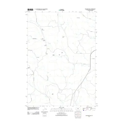 2012 Butcher Hill2012 Print · USGSCuster County’s high ridges and creek bottoms are captured here in the early twenty-first century as part of the state's storied park system. Researchers can trace the drainage of French Cr and locate specific backcountry points like French Creek Trailhead and the Custer State Park Airport.
 - 2012 Map of Argyle, 2012 Print
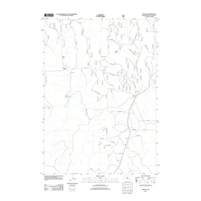 2012 Argyle2012 Print · USGSCuster County ranching country and the settlement of Argyle are captured here during the early twenty-first century. Researchers can trace the footprints of family land holdings like Carter Ranch and Richmond Ranch or the rail-related geography of Loring Siding.
 - 2012 Map of Smithwick NW, 2012 Print
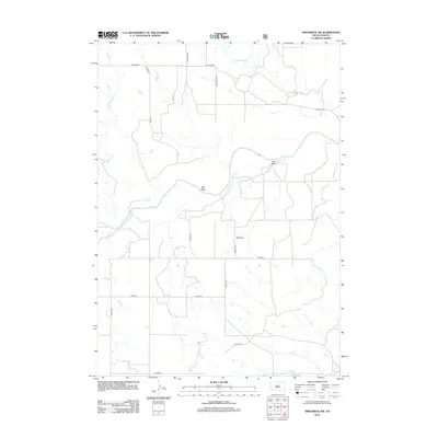 2012 Smithwick NW2012 Print · USGSCuster County's rural prairie landscape is documented in detail during the early twenty-first century, featuring the winding path of the Cheyenne River. Researchers can trace old routes and local landmarks like W G Flat, Lame Johnny Cr, and the network of roads branching off S Fairburn Rd.
 - 2012 Map of Hermosa SE, 2012 Print
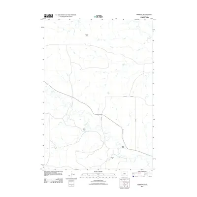 2012 Hermosa SE2012 Print · USGSPennington County’s open plains are captured here in the early 2010s, showcasing a landscape of intermittent draws and high points. Researchers can trace the drainage of Seven Draw or locate prominent landmarks like Flattop Butte and Yankee Hill.
 - 2012 Map of Jewel Cave NW, 2012 Print
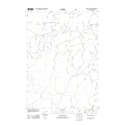 2012 Jewel Cave NW2012 Print · USGSCuster County ranch lands and wildlife areas are captured here in the early twenty-first century. Researchers can trace land boundaries at Soper Ranch, find high-ground landmarks like Phone Line Ridge, and locate remote water sources such as Jumpoff Spring.
 - 2012 Map of Berne, 2012 Print
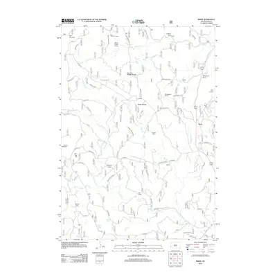 2012 Berne2012 Print · USGSCuster County's rugged Black Hills terrain is captured here in the early twenty-first century, featuring the site of the Crazy Horse Carvings. Researchers can trace the drainage of French Cr or locate specific backcountry sites like the Junction Ranger Station and Roetzel Deer Camp.
 - 2012 Map of Boland Ridge, 2012 Print
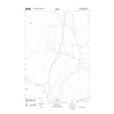 2012 Boland Ridge2012 Print · USGSCuster County was characterized by its cattle-ranching landscape and significant geological formations during the early twenty-first century. Researchers can trace the drainage of Lame Johnny Cr and Blacktail Cr while navigating landmarks like Unkpapa Peak and Fuson Canyon.
 - 2012 Map of Twentyone Divide, 2012 Print
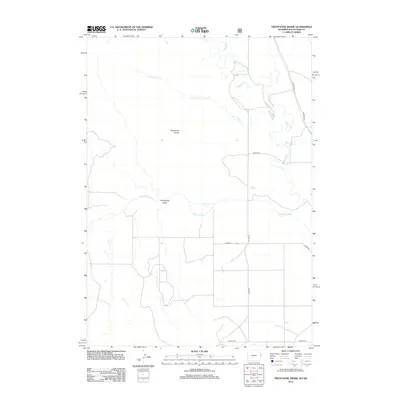 2012 Twentyone Divide2012 Print · USGSThe high plains along the South Dakota border come into focus in the early twenty-first century, showing a landscape defined by the Cheyenne River. Trace the rural road network and drainage patterns through the Twentyone Divide and along the banks of Beaver Cr.
 - 2012 Map of Fairburn SW, 2012 Print
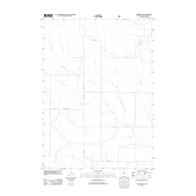 2012 Fairburn SW2012 Print · USGSCuster County's rural landscape is captured here in the early twenty-first century, showcasing the intersection of prairie ranchland and seasonal waterways. Genealogists and local historians can trace family land via S Fairburn Rd or locate landmarks like Pioneer Park Ground.
 - 2012 Map of Jewel Cave, 2012 Print
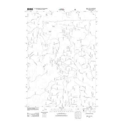 2012 Jewel Cave2012 Print · USGSCuster County ranching and the Black Hills subsurface wonders meet in this 2012 survey of the Jewel Cave area. Researchers can trace historic land use through named holdings like Wolf Ranch, Harris Ranch, and several springs including Lithograph Spring.
 - 2012 Map of Minnekahta, 2012 Print
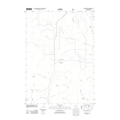 2012 Minnekahta2012 Print · USGSMinnekahta and the surrounding high country are captured here in the early twenty-first century, showing a landscape of remote ranching and prominent peaks. Researchers can trace land boundaries at the Z R Ranch and Johnson Ranch or locate landmarks like Parker Peak.
 - 2012 Map of Jewel Cave SW, 2012 Print
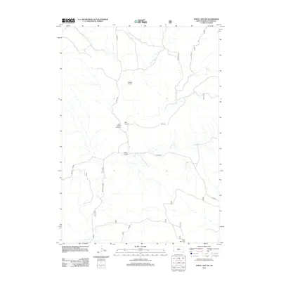 2012 Jewel Cave SW2012 Print · USGSCuster County ranching country and the rugged canyon lands south of the national monument are captured in this 2012 survey. Researchers and local historians can locate Cedar Spring, a critical water point in this dry drainage system.
 - 2012 Map of Fairburn SE, 2012 Print
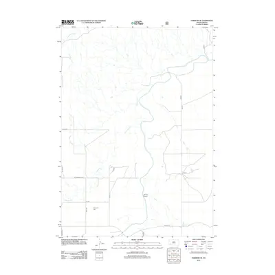 2012 Fairburn SE2012 Print · USGSOglala Lakota County is shown here in the early twenty-first century, defined by its river valleys and open plateaus. Researchers can trace the path of the Cheyenne River and identify landmarks like Harrison Flat and Spring Canyon.
 - 2012 Map of Smithwick NE, 2012 Print
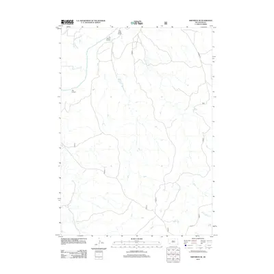 2012 Smithwick NE2012 Print · USGSOglala Lakota County ranchlands and river breaks are captured in detail during the early twenty-first century. Researchers can trace the path of the Angostura Canal or locate local landmarks like Jim Wilson Canyon and Lame Johnny Cr.
 - 2012 Map of Dewey, 2012 Print
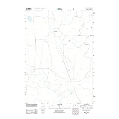 2012 Dewey2012 Print · USGSDakoming and Dewey straddle the state line during the early twenty-first century, where the high plains meet the western Black Hills. Genealogists and local historians can trace family land near Wyoming Hill or along the banks of Beaver Cr and Hay Cr.
 - 2012 Map of Buffalo Gap, 2012 Print
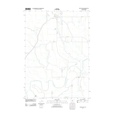 2012 Buffalo Gap2012 Print · USGSIn the early twenty-first century, this Custer County area remains defined by the convergence of the Cheyenne River and its many tributaries. Researchers can trace local heritage through the Buffalo Gap Cem and the small settlement of Oral near Sand Cr.
 - 2012 Map of Fairburn, 2012 Print
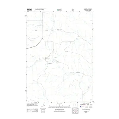 2012 Fairburn2012 Print · USGSFairburn and the surrounding Custer County plains are captured here in the early twenty-first century. Researchers can trace the local street grid through Elm St and Oak St or locate the Fairburn Cem near the banks of French Creek.
 - 2012 Map of Wind Cave, 2012 Print
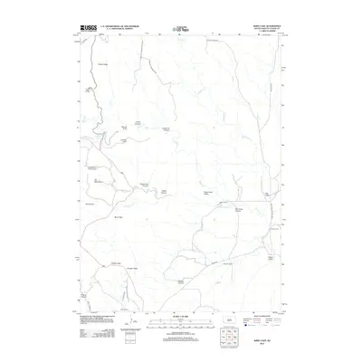 2012 Wind Cave2012 Print · USGSThe southern Black Hills and the edge of the great prairie are captured here during the early twenty-first century. Researchers can trace land boundaries at Sanson Ranch, locate the Pigtail Bridge, and explore the drainage of Beaver Cr.
 - 2012 Map of Iron Mountain, 2012 Print
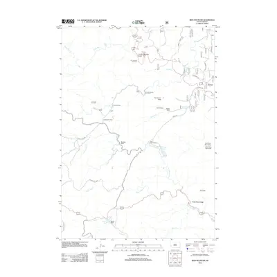 2012 Iron Mountain2012 Print · USGSCuster State Park and the surrounding Black Hills wilderness are shown here in the early 21st century. Researchers can locate recreation landmarks like State Game Lodge and Camp Remington or trace mountain drainages such as Grizzly Bear Cr.
 - 2012 Map of Custer, 2012 Print
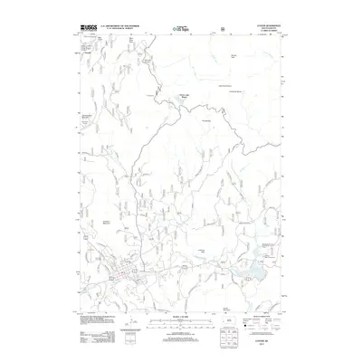 2012 Custer2012 Print · USGSCuster and the surrounding Black Hills peaks are captured here in the early twenty-first century. Genealogists and hikers can locate Custer Cem, the Crazy Horse Carving, and recreation sites like Sylvan Lake Resort.
Showing maps 1-25 of 169
Top cities of Custer County
- Custer historical maps
- Hermosa historical maps
- Buffalo Gap historical maps
- Pringle historical maps
- Fairburn historical maps
Frequently asked questions
- What are the different types of historical maps available for Custer County?
- What is the oldest map of Custer County?
- Where can I purchase historical maps of Custer County for my home or office?
- Where can I download high-res historical maps of Custer County?
- Are there historical topographic maps available for Custer County?
- Is there historical aerial imagery available for Custer County?
- Where are historical maps of Custer County sourced from?