2000s (21st Century) Maps of Pennington County, South Dakota
Explore 331 historic maps of Pennington County from the 2000s (21st Century). These maps offer a rare glimpse into what life looked like during the 2000s — showing old roads, neighborhoods, homes, and landmarks that have changed or disappeared over time.
Whether you're researching your family's past, planning a metal detecting trip, or studying how Pennington County's landscape evolved across the 2000s, these high-resolution maps are a powerful tool for exploring the history of this region.
- Focus on a specific era: All maps on this page are from the 2000s, giving you a focused view of this time period.
- See what’s changed: Compare century-old streets, trails, and buildings to today's modern landscape using overlays and satellite layers.
- Research with precision: Use these maps for genealogy, historical research, land use analysis, or educational projects.
- View, download, or print: Maps are fully viewable online in high resolution, and can be downloaded or printed for your own records.
Start exploring Pennington County's history through authentic maps from the 2000s. This is your window into the past.
Pennington County, SD maps
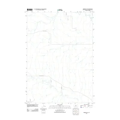
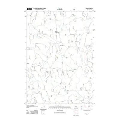
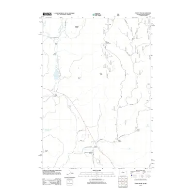
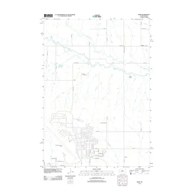
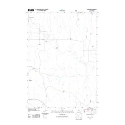
(331)- 2012 Map of Hermosa, 2012 Print
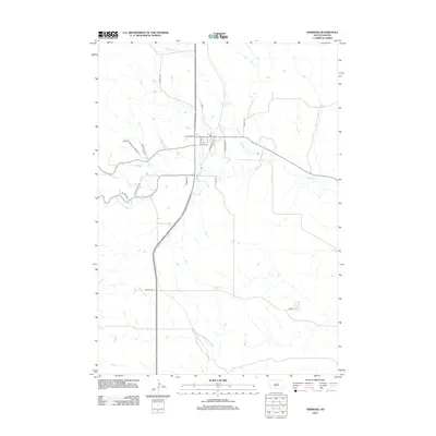 2012 Hermosa2012 Print · USGSCovers Pennington County, including Hermosa, Custer County, and other nearby areas
 - 2012 Map of Dead Horse Flats, 2012 Print
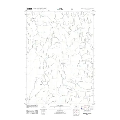 2012 Dead Horse Flats2012 Print · USGSCovers Pennington County, including Custer County, United States, and other nearby areas
 - 2012 Map of Mount Rushmore, 2012 Print
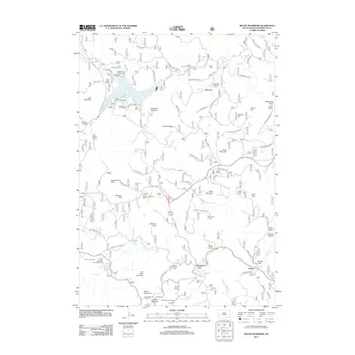 2012 Mount Rushmore2012 Print · USGSCovers Pennington County, including Keystone, Harney, and other nearby areas
 - 2012 Map of Moon, 2012 Print
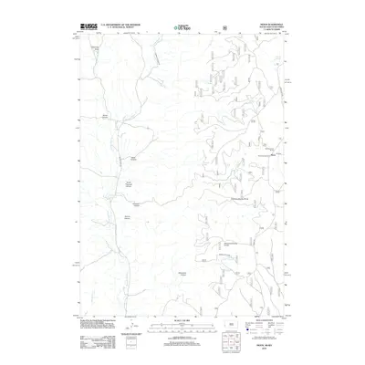 2012 Moon2012 Print · USGSCovers Pennington County, including Moon, Weston County, and other nearby areas
 - 2012 Map of Hermosa NE, 2012 Print
 2012 Hermosa NE2012 Print · USGSCovers Pennington County, including United States, South Dakota, and other nearby areas
 - 2012 Map of Hill City, 2012 Print
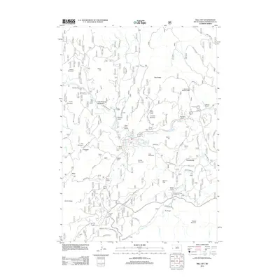 2012 Hill City2012 Print · USGSCovers Pennington County, including Hill City, Reno, and other nearby areas
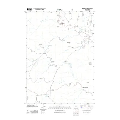
 - 2012 Map of Medicine Mountain, 2012 Print
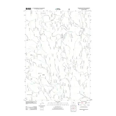 2012 Medicine Mountain2012 Print · USGSCovers Pennington County, including Tigerville, United States, and other nearby areas
 - 2012 Map of Hermosa SE, 2012 Print
 2012 Hermosa SE2012 Print · USGSCovers Pennington County, including Custer County, United States, and other nearby areas
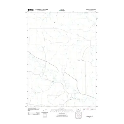
 - 2012 Map of Berne, 2012 Print
 2012 Berne2012 Print · USGSCovers Pennington County, including Junction Ranger Station, Berne, and other nearby areas
 - 2012 Map of Preacher Spring, 2012 Print
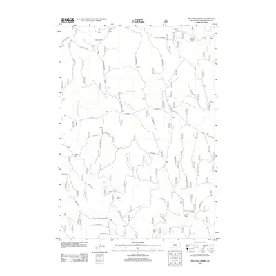 2012 Preacher Spring2012 Print · USGSCovers Pennington County, including United States, South Dakota, and other nearby areas
 - 2012 Map of Hermosa NW, 2012 Print
 2012 Hermosa NW2012 Print · USGSCovers Pennington County, including Rapid City, Ajax, and other nearby areas
 - 2012 Map of Rockerville, 2012 Print
 2012 Rockerville2012 Print · USGSCovers Pennington County, including Rockerville, United States, and other nearby areas
 - 2012 Map of Iron Mountain, 2012 Print
 2012 Iron Mountain2012 Print · USGSCovers Pennington County, including State Game Lodge, Spokane, and other nearby areas
 - 2012 Map of Custer, 2012 Print
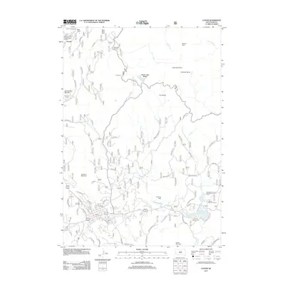 2012 Custer2012 Print · USGSCovers Pennington County, including Custer, Oreville, and other nearby areas
 - 2012 Map of Fanny Peak, 2012 Print
 2012 Fanny Peak2012 Print · USGSCovers Pennington County, including Weston County, Custer County, and other nearby areas
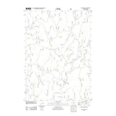
 - 2012 Map of Signal Hill, 2012 Print
 2012 Signal Hill2012 Print · USGSCovers Pennington County, including Custer County, United States, and other nearby areas
 - 2012 Map of Ditch Creek, 2012 Print
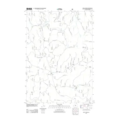 2012 Ditch Creek2012 Print · USGSCovers Pennington County, including United States, South Dakota, and other nearby areas
 - 2012 Map of Hayward, 2012 Print
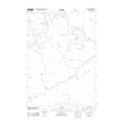 2012 Hayward2012 Print · USGSCovers Pennington County, including Custer County, United States, and other nearby areas
 - 2012 Map of Parmlee Canyon, 2012 Print
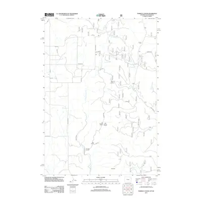 2012 Parmlee Canyon2012 Print · USGSCovers Pennington County, including Weston County, United States, and other nearby areas
 - 2012 Map of Bend, 2012 Print
 2012 Bend2012 Print · USGSCovers Pennington County, including Box Elder, Bend, and other nearby areas
 - 2012 Map of Blackhawk, 2012 Print
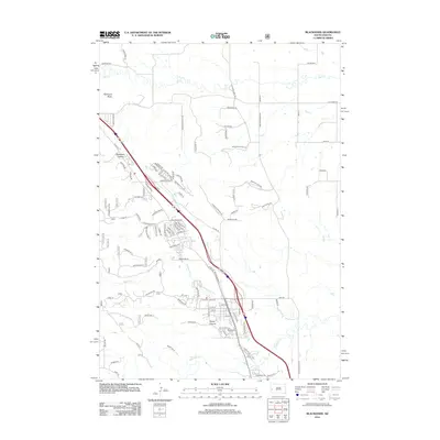 2012 Blackhawk2012 Print · USGSCovers Pennington County, including Rapid City, Summerset, and other nearby areas
 - 2012 Map of Rapid City West, 2012 Print
 2012 Rapid City West2012 Print · USGSCovers Pennington County, including Rapid City, Clarkson Addition, and other nearby areas
 - 2012 Map of Rapid City NW, 2012 Print
 2012 Rapid City NW2012 Print · USGSCovers Pennington County, including Rapid City, Box Elder, and other nearby areas
 - 2012 Map of Wall, 2012 Print
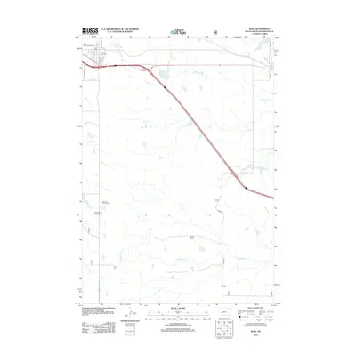 2012 Wall2012 Print · USGSCovers Pennington County, including Wall, Quinn, and other nearby areas
 - 2012 Map of Caputa SW, 2012 Print
 2012 Caputa SW2012 Print · USGSCovers Pennington County, including Custer County, United States, and other nearby areas
Showing maps 1-25 of 331
Top cities of Pennington County
- Rapid City historical maps
- Box Elder historical maps
- Hill City historical maps
- Wall historical maps
- New Underwood historical maps
- Keystone historical maps
See more
Frequently asked questions
- What are the different types of historical maps available for Pennington County?
- What is the oldest map of Pennington County?
- Where can I purchase historical maps of Pennington County for my home or office?
- Where can I download high-res historical maps of Pennington County?
- Are there historical topographic maps available for Pennington County?
- Is there historical aerial imagery available for Pennington County?
- Where are historical maps of Pennington County sourced from?