2010s Maps of Pennington County, South Dakota
Explore 246 historic maps of Pennington County from the 2010s. These maps offer a rare glimpse into what life looked like during the 2010s — showing old roads, neighborhoods, homes, and landmarks that have changed or disappeared over time.
Whether you're researching your family's past, planning a metal detecting trip, or studying how Pennington County's landscape evolved across the 2010s, these high-resolution maps are a powerful tool for exploring the history of this region.
- Focus on a specific era: All maps on this page are from the 2010s, giving you a focused view of this time period.
- See what’s changed: Compare century-old streets, trails, and buildings to today's modern landscape using overlays and satellite layers.
- Research with precision: Use these maps for genealogy, historical research, land use analysis, or educational projects.
- View, download, or print: Maps are fully viewable online in high resolution, and can be downloaded or printed for your own records.
Start exploring Pennington County's history through authentic maps from the 2010s. This is your window into the past.
Pennington County, SD maps
(246)- 2012 Map of Hermosa, 2012 Print
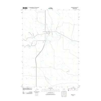 2012 Hermosa2012 Print · USGSHermosa and the eastern Custer County plains are captured here in the early twenty-first century as the landscape balances ranching life with modern transit. Researchers can trace the path of Battle Cr through the town center or locate local landmarks along Fire House Rd and Fairgrounds Pl.
 - 2012 Map of Dead Horse Flats, 2012 Print
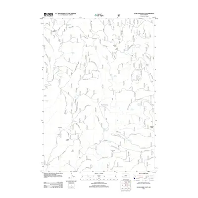 2012 Dead Horse Flats2012 Print · USGSPennington County ranching country is documented here in the early twenty-first century, showing a landscape defined by water and high-plateau terrain. Researchers can locate remote outposts like Wilson Ranch and trace vital water sources such as Dead Horse Spring and Townley Spring.
 - 2012 Map of Mount Rushmore, 2012 Print
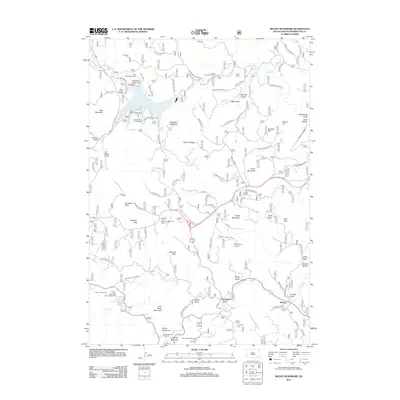 2012 Mount Rushmore2012 Print · USGSPennington County's Black Hills are shown here in the early twenty-first century, centered on the heights of Mount Rushmore. Historians and hikers can trace the rugged network of ridges and gulches including Coon Hollow, the community of Harney, and the Keystone Cem.
 - 2012 Map of Moon, 2012 Print
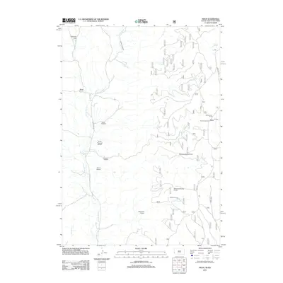 2012 Moon2012 Print · USGSThe high canyons and divides of Pennington County are captured here in the early 21st century. Researchers can trace the remote ranching and water history of the area through labels like the Neuman-Scott Ranch, Martin Thomson Reservoir, and the settlement of Moon.
 - 2012 Map of Hermosa NE, 2012 Print
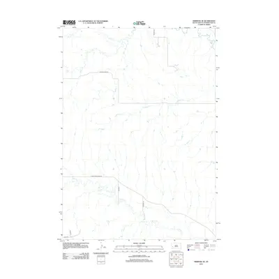 2012 Hermosa NE2012 Print · USGSPennington County in the early twenty-first century shows a landscape where creek beds and country roads dictate the pace of local life. Researchers can trace the winding paths of Spring Cr, Antelope Cr, and Bradsky Rd across this prairie terrain.
 - 2012 Map of Hill City, 2012 Print
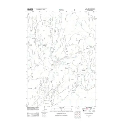 2012 Hill City2012 Print · USGSPennington County's high country is captured here during the early twenty-first century, showing a mix of residential growth and mountain recreation. Researchers can trace the development of the Gold Mountain Subdivision and Kennedyville or locate landmarks like Summit Peak and Mitchell Lake.
 - 2012 Map of Medicine Mountain, 2012 Print
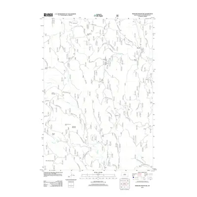 2012 Medicine Mountain2012 Print · USGSPennington County’s high-country ranching and timber lands are detailed here during the early twenty-first century. Researchers can trace the rural layout of Tigerville, locate Medicine Mountain Ranch, and follow drainages like Negro Cr and Patterson Cr.
 - 2012 Map of Hermosa SE, 2012 Print
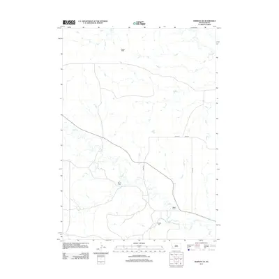 2012 Hermosa SE2012 Print · USGSPennington County’s open plains are captured here in the early 2010s, showcasing a landscape of intermittent draws and high points. Researchers can trace the drainage of Seven Draw or locate prominent landmarks like Flattop Butte and Yankee Hill.
 - 2012 Map of Berne, 2012 Print
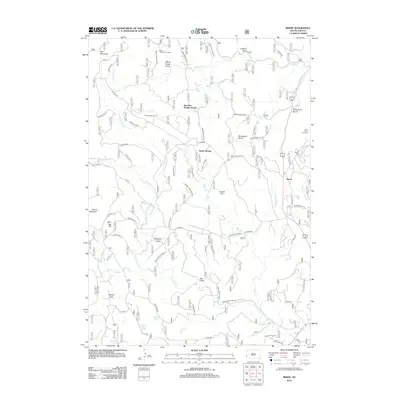 2012 Berne2012 Print · USGSCuster County's rugged Black Hills terrain is captured here in the early twenty-first century, featuring the site of the Crazy Horse Carvings. Researchers can trace the drainage of French Cr or locate specific backcountry sites like the Junction Ranger Station and Roetzel Deer Camp.
 - 2012 Map of Preacher Spring, 2012 Print
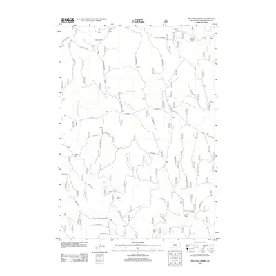 2012 Preacher Spring2012 Print · USGSPennington County ranching and water resources are documented here in the early twenty-first century. Researchers can trace the layout of Howell Ranch and locate numerous family-named water sources like Johnson Spring, Rogers Spring, and Preacher Spring.
 - 2012 Map of Hermosa NW, 2012 Print
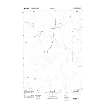 2012 Hermosa NW2012 Print · USGSPennington County's rugged foothills are shown in detail here during the early twenty-first century. Genealogists and hikers can trace family-named landmarks like Walt Smith Canyon or locate the rural settlement of Ajax near Spring Cr.
 - 2012 Map of Rockerville, 2012 Print
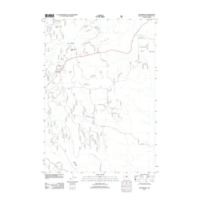 2012 Rockerville2012 Print · USGSPennington County reveals its rugged Black Hills character in the early twenty-first century, centered on the settlement of Rockerville. Researchers can trace local history through Rockerville Cem and the unique geography of the Stratosphere Bowl.
 - 2012 Map of Iron Mountain, 2012 Print
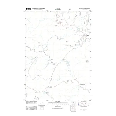 2012 Iron Mountain2012 Print · USGSCuster State Park and the surrounding Black Hills wilderness are shown here in the early 21st century. Researchers can locate recreation landmarks like State Game Lodge and Camp Remington or trace mountain drainages such as Grizzly Bear Cr.
 - 2012 Map of Custer, 2012 Print
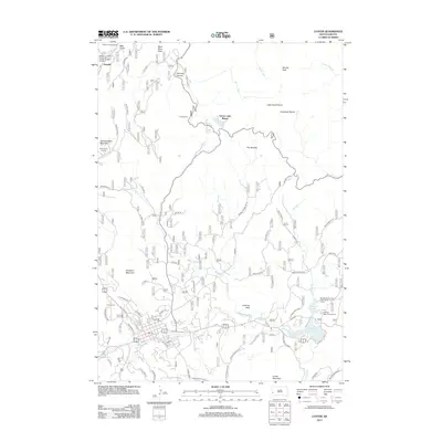 2012 Custer2012 Print · USGSCuster and the surrounding Black Hills peaks are captured here in the early twenty-first century. Genealogists and hikers can locate Custer Cem, the Crazy Horse Carving, and recreation sites like Sylvan Lake Resort.
 - 2012 Map of Fanny Peak, 2012 Print
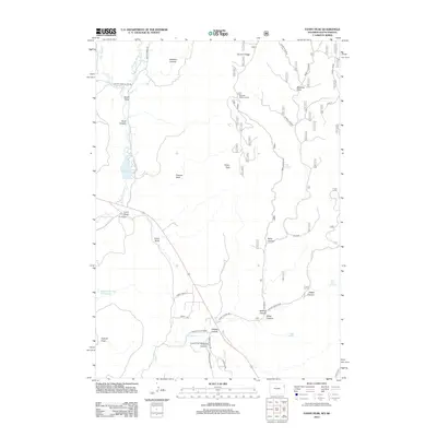 2012 Fanny Peak2012 Print · USGSThe rugged borderlands of South Dakota and Wyoming are mapped here in the early twenty-first century, featuring the high points of Fanny Peak and Frannie Peak. Researchers can locate legacy landholdings like the L A K Ranch and trace the paths of Stockade Beaver Cr and Whoopup Cr.
 - 2012 Map of Signal Hill, 2012 Print
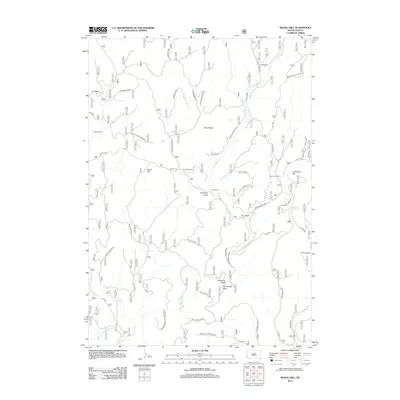 2012 Signal Hill2012 Print · USGSPennington County ranching and water rights come to life in this early 2010s survey of the South Dakota landscape. Researchers can trace historic family-named properties like Elliot Ranch and Sturm Ranch alongside landmarks like Signal Hill.
 - 2012 Map of Ditch Creek, 2012 Print
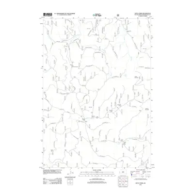 2012 Ditch Creek2012 Print · USGSPennington County ranching and forest lands are documented here in the early twenty-first century, showing a landscape shaped by high-country draws and mountain springs. Researchers can trace historic property boundaries and family holdings like Hoar Ranch and Tony Matt Ranch or locate natural features such as Sixmile Spring.
 - 2012 Map of Hayward, 2012 Print
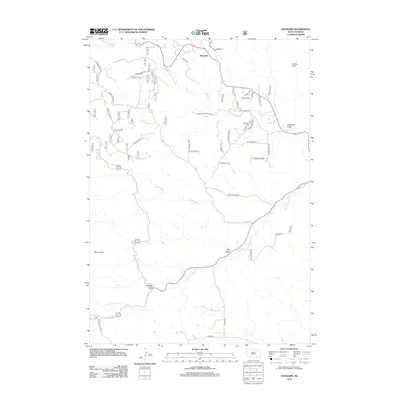 2012 Hayward2012 Print · USGSPennington County's rugged Black Hills terrain is captured here in the early 2010s, centered on the community of Hayward. Researchers can trace old drainage names and local landmarks like Whiskey Gulch, Lakota Peak, and a rural Sch near the forks of Battle Cr.
 - 2012 Map of Parmlee Canyon, 2012 Print
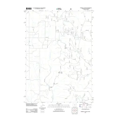 2012 Parmlee Canyon2012 Print · USGSPennington County's high canyon country is documented here during the early twenty-first century as a landscape of cattle ranching and natural springs. Researchers can locate the Boyd Cem and trace livestock history through family-named landmarks like Sanders Corral and the Cool Pasture.
 - 2012 Map of Bend, 2012 Print
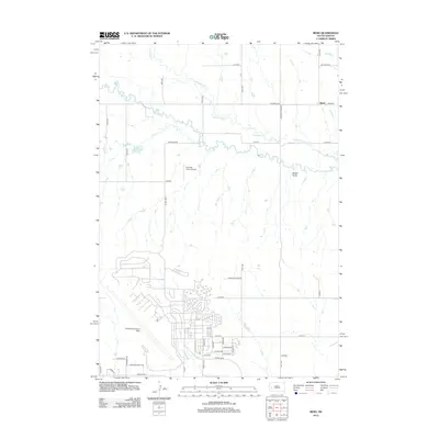 2012 Bend2012 Print · USGSPennington County’s landscape in the early twenty-first century is defined by the massive footprint of Ellsworth Air Force Base and the rural reaches of Bend. Genealogists and historians can trace suburban expansion near Liberty Blvd or the remote ranching lands along Elk Cr.
 - 2012 Map of Blackhawk, 2012 Print
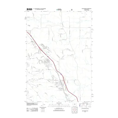 2012 Blackhawk2012 Print · USGSThe eastern edge of the Black Hills comes into focus in the early 2010s, showing the residential expansion around Blackhawk. Genealogists and local historians can trace modern developments near Blackhawk Cem, Stagebarn Canyon, and Piedmont Butte.
 - 2012 Map of Rapid City West, 2012 Print
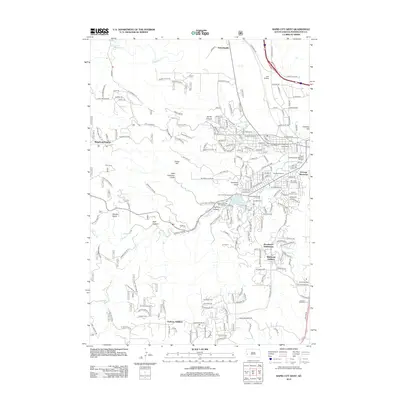 2012 Rapid City West2012 Print · USGSWestern Rapid City is captured in the early 2010s as it expands into the surrounding gulches and canyons. Researchers can trace local landmarks like Camp Rapid, Lien Airfield, and the Cleghorn Springs Fish Hatchery.
 - 2012 Map of Rapid City NW, 2012 Print
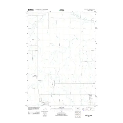 2012 Rapid City NW2012 Print · USGSRapid City's northwestern periphery is captured here during a period of transition in the early twenty-first century. Genealogists and local historians can trace family locations near Elk Vale Cem or follow the paths of Boxelder Cr and Elk Cr.
 - 2012 Map of Wall, 2012 Print
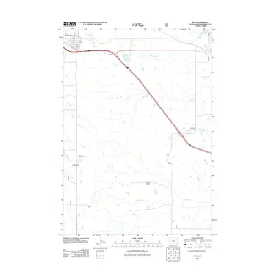 2012 Wall2012 Print · USGSPennington County at the start of the 2010s shows a landscape of prairie drainage and vital transit corridors. Genealogists and local historians can trace the town grid from Main St out to rural landmarks like Maco Sica Picnic Ground and Bloom Basin.
 - 2012 Map of Caputa SW, 2012 Print
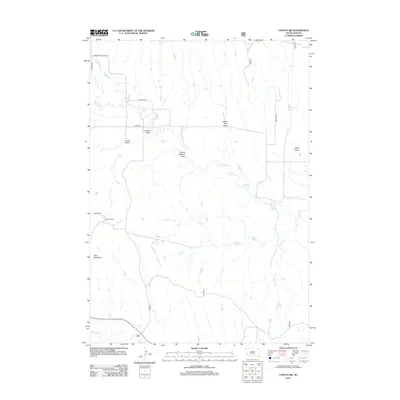 2012 Caputa SW2012 Print · USGSPennington County ranching lands and rugged draws are documented here in the early twenty-first century. Researchers can trace land features and homesteads like Lauzon Ranch, Flag Mountain, and the winding course of Spring Cr.
Showing maps 1-25 of 246
Top cities of Pennington County
- Rapid City historical maps
- Box Elder historical maps
- Hill City historical maps
- Wall historical maps
- New Underwood historical maps
- Keystone historical maps
See more
Frequently asked questions
- What are the different types of historical maps available for Pennington County?
- What is the oldest map of Pennington County?
- Where can I purchase historical maps of Pennington County for my home or office?
- Where can I download high-res historical maps of Pennington County?
- Are there historical topographic maps available for Pennington County?
- Is there historical aerial imagery available for Pennington County?
- Where are historical maps of Pennington County sourced from?