2020s Maps of Brooks County, Texas
Explore 27 historic maps of Brooks County from the 2020s. These maps offer a rare glimpse into what life looked like during the 2020s — showing old roads, neighborhoods, homes, and landmarks that have changed or disappeared over time.
Whether you're researching your family's past, planning a metal detecting trip, or studying how Brooks County's landscape evolved across the 2020s, these high-resolution maps are a powerful tool for exploring the history of this region.
- Focus on a specific era: All maps on this page are from the 2020s, giving you a focused view of this time period.
- See what’s changed: Compare century-old streets, trails, and buildings to today's modern landscape using overlays and satellite layers.
- Research with precision: Use these maps for genealogy, historical research, land use analysis, or educational projects.
- View, download, or print: Maps are fully viewable online in high resolution, and can be downloaded or printed for your own records.
Start exploring Brooks County's history through authentic maps from the 2020s. This is your window into the past.
Brooks County, TX maps
(27)- 2022 Map of Paisano Lake, 2022 Print
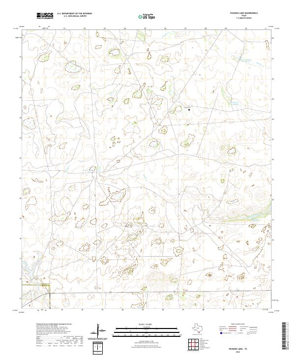 2022 Paisano Lake2022 Print · USGSKleberg and Brooks counties are depicted here in the early twenty-first century, showing a rural landscape shaped by ranching and water management. Researchers can locate Canales Cem and trace seasonal water sources like Cuatro de Julio Waterhole and Canelo Lake.
 - 2022 Map of Santa Elena SE, 2022 Print
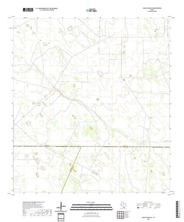 2022 Santa Elena SE2022 Print · USGSThe South Texas brush country at the meeting of Brooks, Starr, and Hidalgo counties is captured here in the early 2020s. Genealogists and researchers can locate La Mesa Cem or trace the path of Vargas Cr near the junction of FM 755.
 - 2022 Map of Encino, 2022 Print
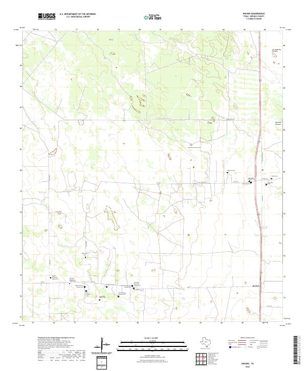 2022 Encino2022 Print · USGSThe south Texas ranch country of Brooks County is shown here in the early 2020s, dominated by large pastures and family landholdings. Genealogists can trace decades of local history through family sites like Benavides Family Cem and the small settlement of Rachal.
 - 2022 Map of Santa Elena, 2022 Print
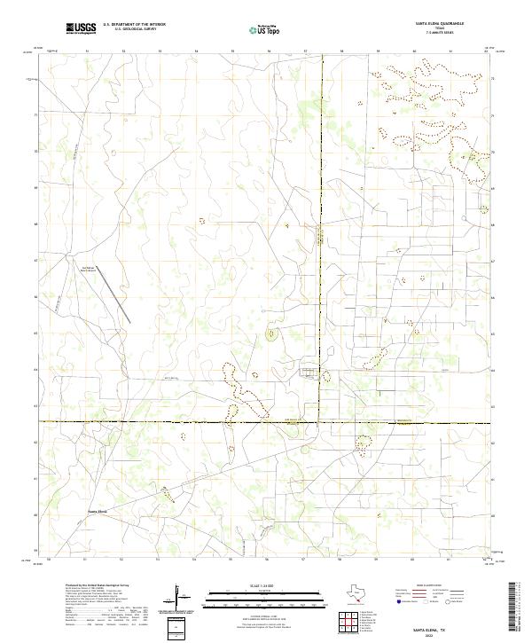 2022 Santa Elena2022 Print · USGSThe ranchlands of South Texas appear in this recent survey where three counties meet at the community of Santa Elena. Genealogists and local historians can trace family landholdings and rural routes like Bazon Ranch Rd and Old Church Rd.
 - 2022 Map of Tacubaya, 2022 Print
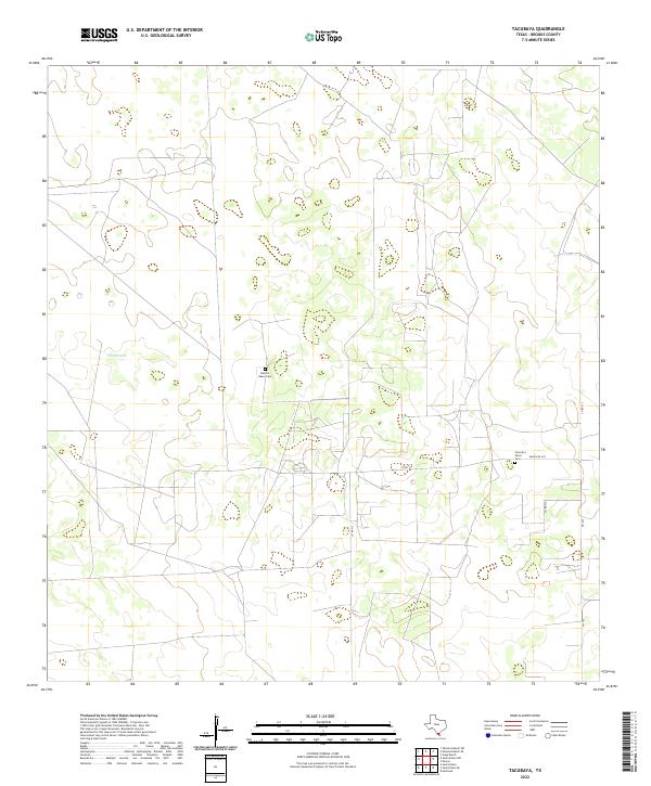 2022 Tacubaya2022 Print · USGSThe South Texas ranchlands near Tacubaya are documented here in the early 2020s, showing a landscape shaped by rural tradition and family heritage. Genealogists can locate family-named sites such as Rancho Nuevo Cem and the Francisco Perez Cem.
 - 2022 Map of Hartland, 2022 Print
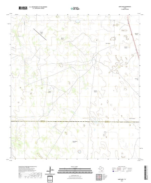 2022 Hartland2022 Print · USGSBrooks and Hidalgo counties meet in this modern South Texas ranching landscape defined by large pastures and private airfields. Researchers can trace land management patterns across Vargas Pasture, Tasajal Lake, and the remote El Coyote Ranch Airport.
 - 2022 Map of San Tomas Camp, 2022 Print
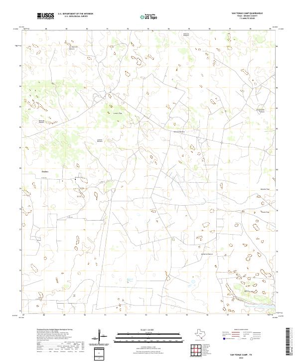 2022 San Tomas Camp2022 Print · USGSBrooks County ranching traditions are visible in this detailed study of the South Texas brush country. Genealogists and local historians can trace family-named lands like El Lucero Cem, Lucero Pasture, and the rural community at Encino.
 - 2022 Map of Santa Elena NW, 2022 Print
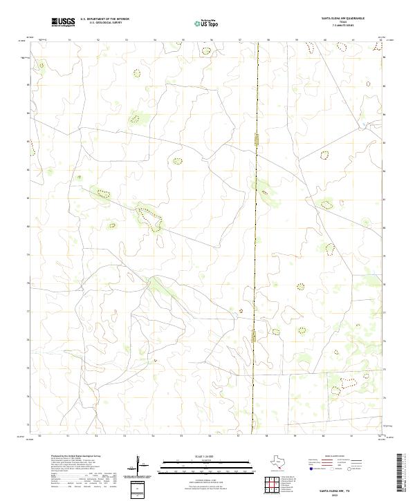 2022 Santa Elena NW2022 Print · USGSIn the ranch lands of South Texas, this survey documents the boundary between Jim Hogg Co and Brooks Co. Modern researchers can trace local ranch road networks and the distinct administrative line that separates these two rural counties.
 - 2022 Map of Palomas Ranch, 2022 Print
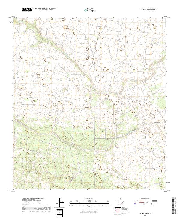 2022 Palomas Ranch2022 Print · USGSBrooks County ranchlands are documented in the early 2020s, showing a landscape shaped by seasonal water and open range. Trace the routes of Palo Blanco Cr and Arroyo Baluarte alongside rural roads like Baluarte Creek Rd.
 - 2022 Map of Falfurrias SE, 2022 Print
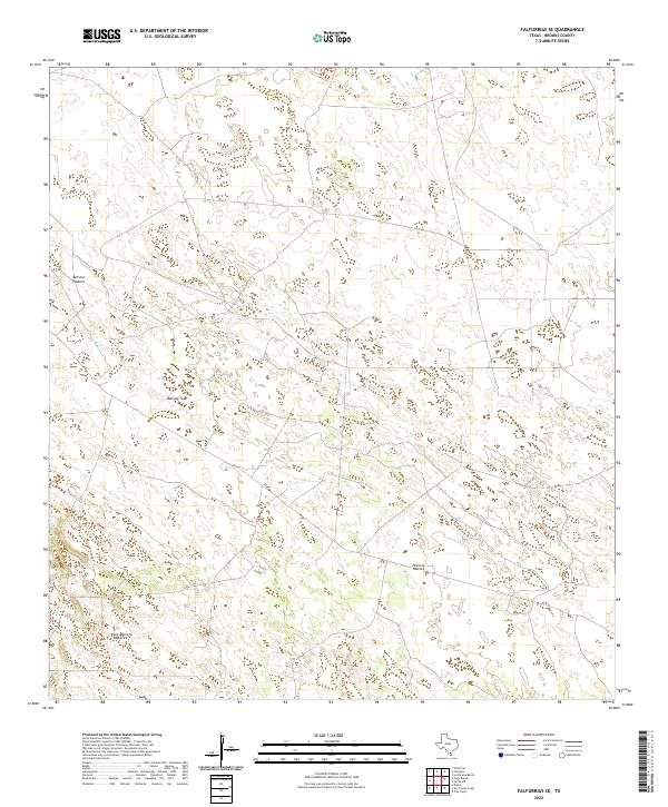 2022 Falfurrias SE2022 Print · USGSBrooks County ranchlands are documented in the early twenty-first century, showcasing a landscape of large-scale grazing and rural infrastructure. Researchers can trace the boundaries of the Barroso Pasture, Barroso Trap, and Patricio Pasture.
 - 2022 Map of La Paloma Ranch, 2022 Print
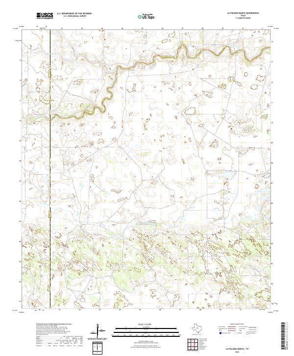 2022 La Paloma Ranch2022 Print · USGSCoastal prairie ranchland at the intersection of Kenedy, Kleberg, and Brooks counties is documented in the early 2020s. Researchers can trace the winding paths of Los Olmos Creek and Palo Blanco Creek as they navigate the terrain near Mcgill Lake.
 - 2022 Map of Sarita SW, 2022 Print
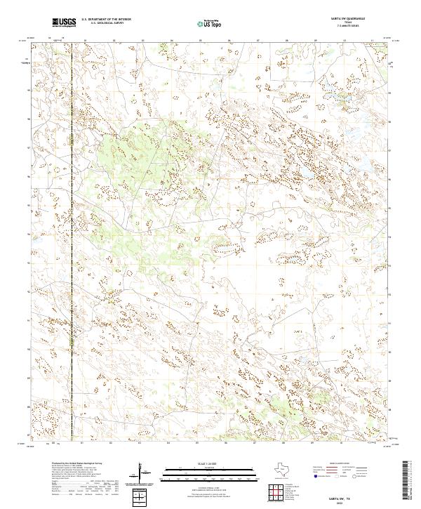 2022 Sarita SW2022 Print · USGSCoastal plain ranch lands near the border of Brooks Co and Kenedy Co are captured here in the early twenty-first century. Researchers can trace the path of Turcotte W through a terrain marked by hundreds of small natural ponds and wetlands.
 - 2022 Map of Cage Ranch, 2022 Print
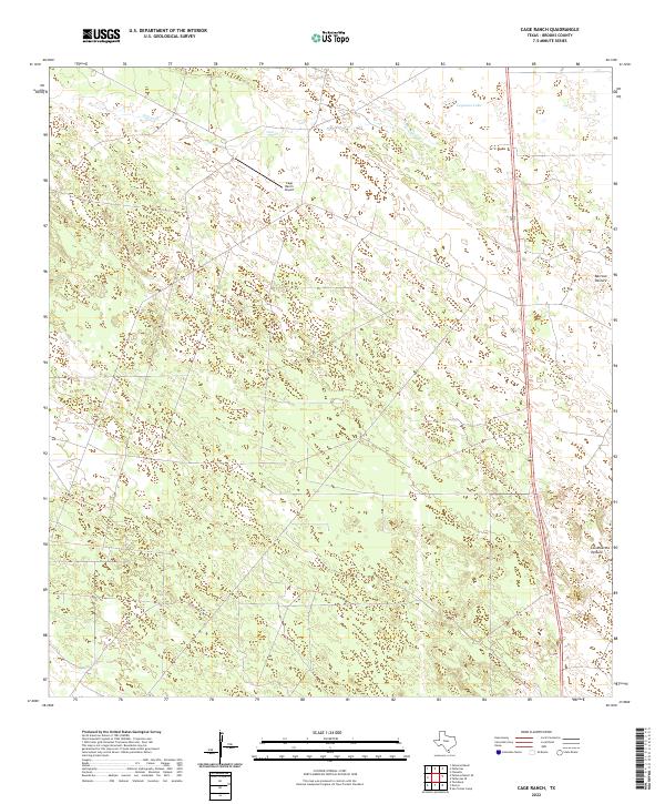 2022 Cage Ranch2022 Print · USGSSouth Texas ranching country in Brooks County is documented here in the early 2020s, showing the intersection of aviation and livestock land. You can trace seasonal water through Calosa Cr or locate specific grazing lands like Los Muertos Pasture.
 - 2022 Map of Palomas Ranch SE, 2022 Print
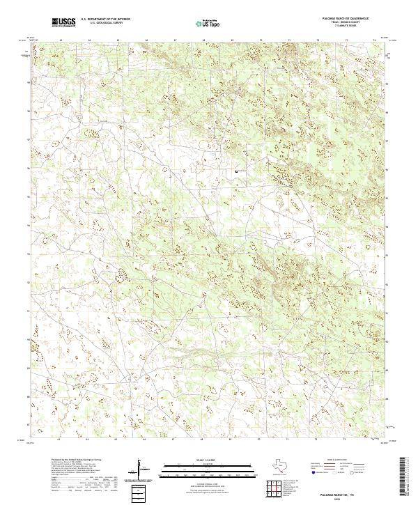 2022 Palomas Ranch SE2022 Print · USGSThe ranching country of Brooks County is captured here in the early twenty-first century, showing a remote landscape of private land and rural roads. Genealogists and researchers can locate the family-named Perez Cem and trace the paths of CO RD 409 and CO RD 406.
 - 2022 Map of Callo Padrones, 2022 Print
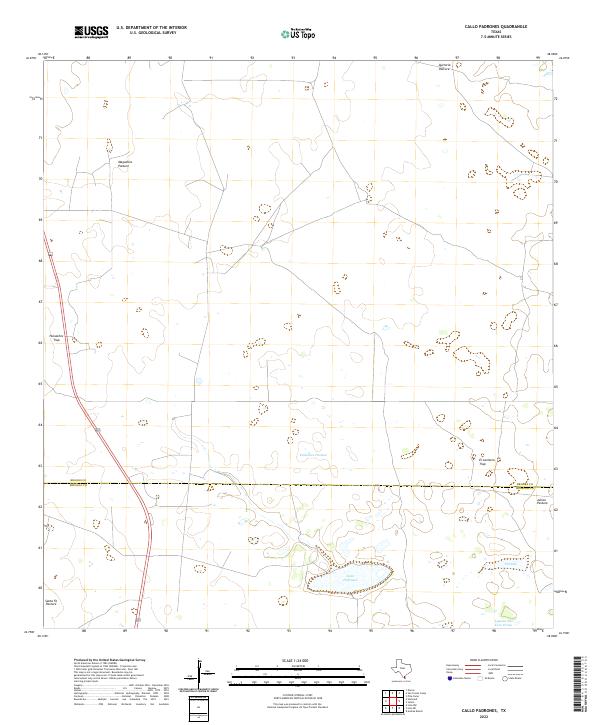 2022 Callo Padrones2022 Print · USGSSouthern Texas ranch lands near the border of Brooks and Hidalgo counties reveal a landscape organized by traditional pasture management. Researchers can trace the layout of family-named tracts like Padrones Pasture and local water features including Callo Padrones.
 - 2022 Map of Ramirez, 2022 Print
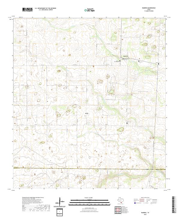 2022 Ramirez2022 Print · USGSSouth Texas ranching country near the Duval and Brooks county line is documented here in the early twenty-first century. Genealogists can locate family burial sites like Ramirez Cem and Ramos Cem near the historic settlements of Ramirez and Sejita.
 - 2022 Map of Laguna Del Toro, 2022 Print
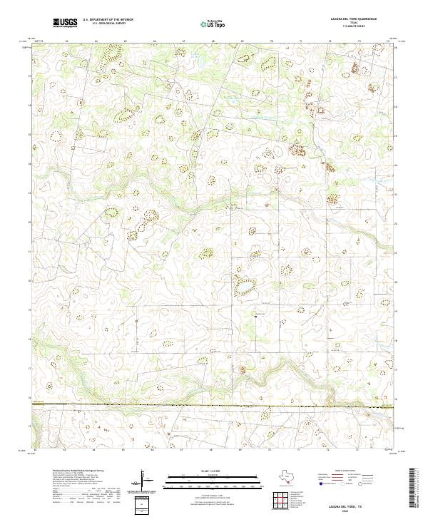 2022 Laguna Del Toro2022 Print · USGSThe ranching country of South Texas is captured here in the early twenty-first century, spanning the border of Duval and Brooks counties. Researchers can trace the rural landscape through family-named landmarks and water features like Copita Cem, Laguna Grande, and Cibolo Cr.
 - 2022 Map of Palomas Ranch SW, 2022 Print
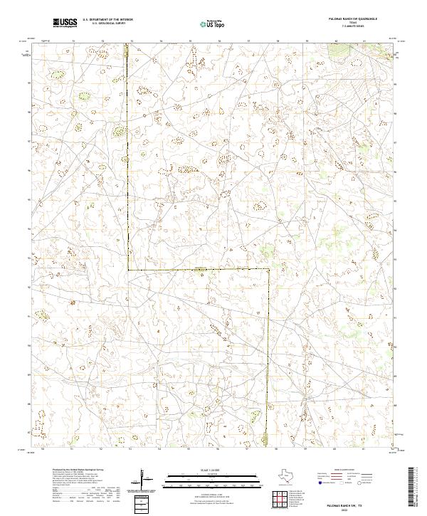 2022 Palomas Ranch SW2022 Print · USGSThe South Texas brush country along the border of Jim Hogg and Brooks counties is captured here in its modern state. Researchers can trace the sprawling property lines and land divisions defined by the Jim Hogg and Brooks county boundaries.
 - 2022 Map of Falfurrias, 2022 Print
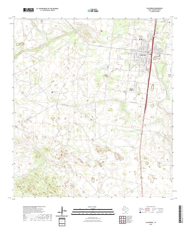 2022 Falfurrias2022 Print · USGSFalfurrias and the surrounding Brooks County ranch lands are captured here in the early 2020s as a hub of South Texas civic life. Genealogists can locate family sites at the Old Town Cem and Sacred Heart Cem, while tracing historical water access along Palo Blanco Cr.
 - 2022 Map of Flowella, 2022 Print
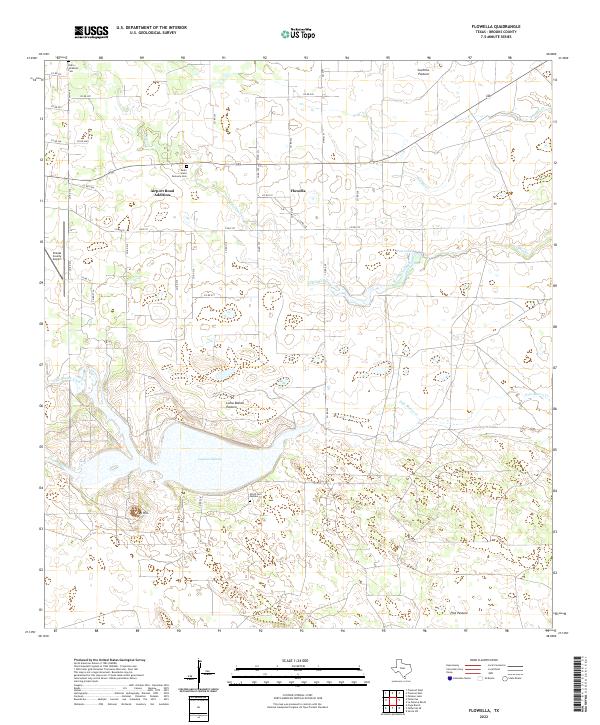 2022 Flowella2022 Print · USGSBrooks County, Texas, reveals a landscape of family-named pastures and historic cemeteries in this recent survey. Researchers can locate the Pedro Jaramillo Cem or trace the drainage of Los Olmos Creek through settlements like Flowella and the Airport Road Addition.
 - 2022 Map of Premont East, 2022 Print
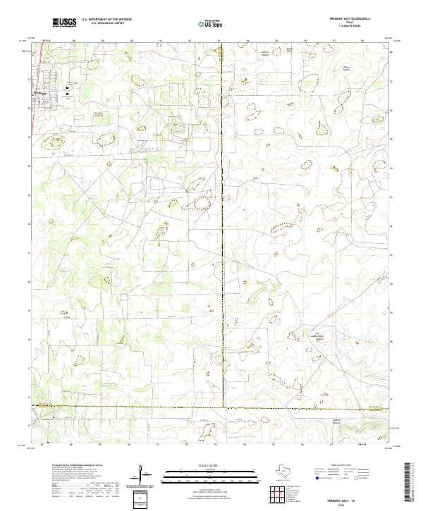 2022 Premont East2022 Print · USGSThe town of Premont and its surrounding ranch lands are shown at the intersection of three Texas counties in the early 2020s. Genealogists and historians can trace family locations through Premont Cem South, Los Olmos Cem, and named tracts like Jensen Pasture.
 - 2022 Map of Hebbronville SE, 2022 Print
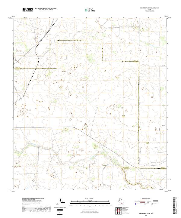 2022 Hebbronville SE2022 Print · USGSSouth Texas ranching country is documented here at the start of the 2020s, centered on the convergence of three county lines. Researchers can trace the paths of Palo Blanco Cr and Laborcitas Cr or follow rural routes like La Florida Ranch Rd.
 - 2022 Map of Baluarte Ranch, 2022 Print
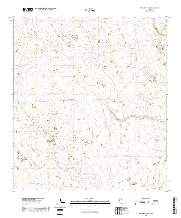 2022 Baluarte Ranch2022 Print · USGSJim Hogg County ranch land is captured in the early 2020s, showing a landscape of vast pastures and private property divisions. Local historians can trace the paths of Arroyo los Palos and Palo Blanco Cr alongside the route of Baluarte Ranch Rd.
 - 2022 Map of Premont West, 2022 Print
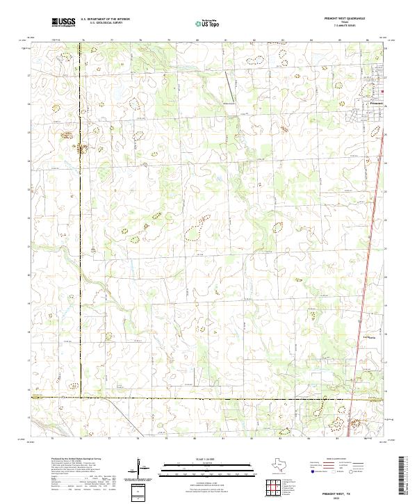 2022 Premont West2022 Print · USGSThe borderlands of Jim Wells, Duval, and Brooks counties come into focus in this contemporary survey of South Texas ranching country. Genealogists and local historians can trace family land access along US Hwy 281 and find landmarks like Weeks Airport and La Gloria.
 - 2022 Map of Pita Camp, 2022 Print
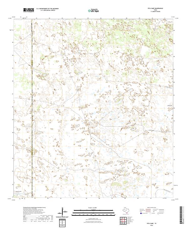 2022 Pita Camp2022 Print · USGSCoastal prairie and ranch lands along the Kenedy and Brooks county line are shown here in the early 2020s. Researchers can trace family-named routes and landmarks like Tobin Armstrong Rd, Ebony Hill, and the wetlands of Quiteria Lake.
Showing maps 1-25 of 27
Top cities of Brooks County
Frequently asked questions
- What are the different types of historical maps available for Brooks County?
- What is the oldest map of Brooks County?
- Where can I purchase historical maps of Brooks County for my home or office?
- Where can I download high-res historical maps of Brooks County?
- Are there historical topographic maps available for Brooks County?
- Is there historical aerial imagery available for Brooks County?
- Where are historical maps of Brooks County sourced from?