2000s (21st Century) Maps of Brooks County, Texas
Explore 135 historic maps of Brooks County from the 2000s (21st Century). These maps offer a rare glimpse into what life looked like during the 2000s — showing old roads, neighborhoods, homes, and landmarks that have changed or disappeared over time.
Whether you're researching your family's past, planning a metal detecting trip, or studying how Brooks County's landscape evolved across the 2000s, these high-resolution maps are a powerful tool for exploring the history of this region.
- Focus on a specific era: All maps on this page are from the 2000s, giving you a focused view of this time period.
- See what’s changed: Compare century-old streets, trails, and buildings to today's modern landscape using overlays and satellite layers.
- Research with precision: Use these maps for genealogy, historical research, land use analysis, or educational projects.
- View, download, or print: Maps are fully viewable online in high resolution, and can be downloaded or printed for your own records.
Start exploring Brooks County's history through authentic maps from the 2000s. This is your window into the past.
Brooks County, TX maps
(135)- 2010 Map of Ramirez, 2010 Print
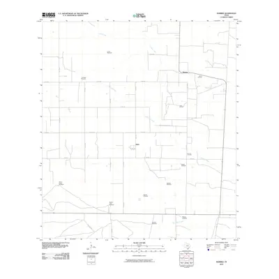 2010 Ramirez2010 Print · USGSRamirez and the South Texas ranchlands appear here as they were in the early twenty-first century. Genealogists and historians can trace family-named sites like Ramos Cemetery or study the industrial layout of the Sejita Oil Field and numerous namesake windmills.
 - 2010 Map of Premont West, 2010 Print
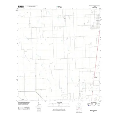 2010 Premont West2010 Print · USGSThe South Texas scrub and ranchlands near the Jim Wells County line appear here during the first decade of the new millennium. Researchers can trace the rural landscape surrounding Premont and La Gloria, identifying landmarks like Weeks Airport and the La Gloria Oil Field.
 - 2010 Map of Santa Elena, 2010 Print
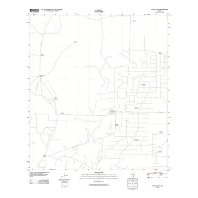 2010 Santa Elena2010 Print · USGSSanta Elena at the start of the decade reveals a deep-rooted ranching landscape defined by water and oil. Genealogists and historians can trace family-named sites like La Particion Ranch, the Kelsey Bass Oil Field, and numerous landmarks such as Mercedes Windmill.
 - 2010 Map of Hartland, 2010 Print
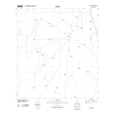 2010 Hartland2010 Print · USGSHidalgo County ranching culture is on full display in this early twenty-first-century survey of the South Texas brush country. Genealogists and historians can trace property boundaries and critical water sources like Coyote Ranch, Tasajal Lake, and Buena Suerte Windmill.
 - 2010 Map of Falfurrias SE, 2010 Print
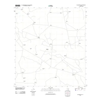 2010 Falfurrias SE2010 Print · USGSBrooks County ranchlands at the start of the new millennium are mapped in detail, showing a vast network of windmills and named pastures. Trace local land use through features like Pita Pens, Papalote del Norte, and the Pita Oil Field.
 - 2010 Map of Santa Elena SE, 2010 Print
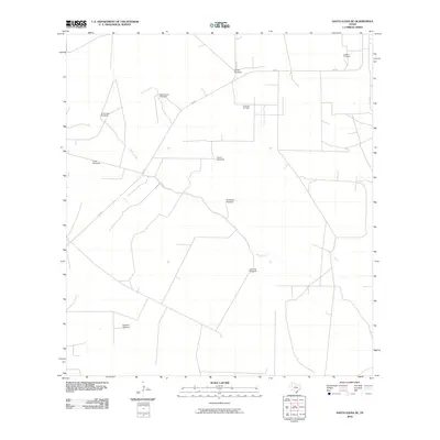 2010 Santa Elena SE2010 Print · USGSHidalgo County ranch lands are documented here in the early twenty-first century, showing a landscape shaped by water and energy. Researchers can find old family landmarks and infrastructure like La Mesa Cemetery, the Encinitas Oil Field, and the Agua Dulce Windmill.
 - 2010 Map of Laguna Del Toro, 2010 Print
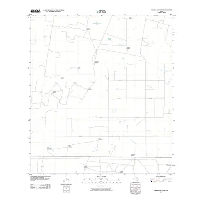 2010 Laguna Del Toro2010 Print · USGSDuval County ranchlands and energy fields are documented here in the early twenty-first century. Genealogists and historians can trace family-named sites like Cibolo Ranch and Copita Cemetery or the industrial footprint of the East Sejita Oil Field.
 - 2010 Map of Palomas Ranch NW, 2010 Print
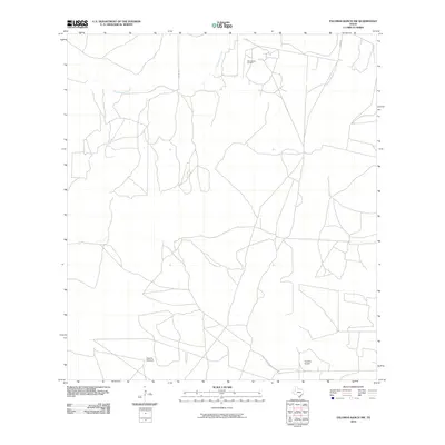 2010 Palomas Ranch NW2010 Print · USGSJim Hogg County ranch land is captured here in the early twenty-first century as a landscape of energy and aviation. Researchers can trace the layout of the Palo Blanco Oil Field or locate landmarks like Superior Airport and Vaquias Windmill.
 - 2010 Map of Palomas Ranch SE, 2010 Print
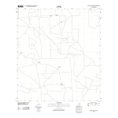 2010 Palomas Ranch SE2010 Print · USGSBrooks County ranching country is captured here in the early 21st century, showing the dispersed water sources and family landmarks of South Texas. Researchers can locate the Perez Cemetery or trace ranching lines via the San Cristobal Windmill and Lindero Windmill.
 - 2010 Map of Sarita SW, 2010 Print
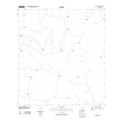 2010 Sarita SW2010 Print · USGSDeep in South Texas ranch country, this map shows Kenedy County as it appeared at the start of the 2010s. Researchers can trace the vital water infrastructure of the era through named landmarks like Honeymoon Windmill, San Pedro Windmill, and TURCOTTE W.
 - 2010 Map of San Tomas Camp, 2010 Print
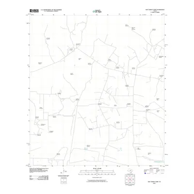 2010 San Tomas Camp2010 Print · USGSBrooks County ranching and energy production are in focus during the early twenty-first century, documenting a landscape of managed pastures and oil fields. Researchers can trace the heritage of Encino Ranch or locate the El Lucero Cemetery and San Tomas Camp.
 - 2010 Map of Callo Padrones, 2010 Print
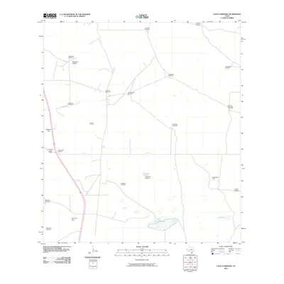 2010 Callo Padrones2010 Print · USGSHidalgo County ranching and energy extraction are on display in this early twenty-first-century survey of the South Texas brush country. Researchers can trace the layout of regional cattle operations and oil interests through features like the Huisaches Altos Ranch, Santa Fe Oil Field, and numerous family-named landmarks.
 - 2010 Map of Paisano Lake, 2010 Print
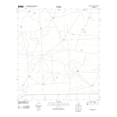 2010 Paisano Lake2010 Print · USGSKleberg County ranching country at the turn of the decade is mapped here with a focus on its essential water infrastructure and energy production. Researchers can trace land use through local landmarks like Canales Cemetery, the Canelo Oil Field, and numerous family-named sites such as Los Indios Windmill.
 - 2010 Map of Palomas Ranch SW, 2010 Print
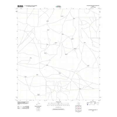 2010 Palomas Ranch SW2010 Print · USGSJim Hogg County ranch lands are captured here in the early twenty-first century, showing a remote landscape defined by its vital water infrastructure. Researchers can trace the placement of historic ranching assets like Las Coyotas Windmill, Avispa Windmill, and Paisano Windmill.
 - 2010 Map of Palomas Ranch, 2010 Print
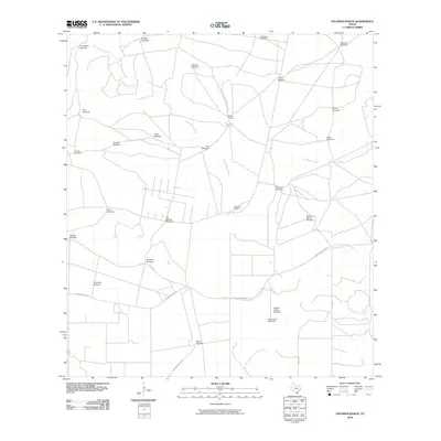 2010 Palomas Ranch2010 Print · USGSBrooks County ranching life is captured here in the early twenty-first century, showing a landscape defined by seasonal creeks and livestock water sources. Researchers can trace the layout of family-held lands at Palomas Ranch and locate many working landmarks like Tres Aguajes Windmill and Monte Alto Windmill.
 - 2010 Map of Encino, 2010 Print
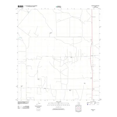 2010 Encino2010 Print · USGSThe ranching and oil country of Brooks County is captured here in the early twenty-first century. Genealogists and local historians can trace family-named lands like Escondido Ranch or locate the Vallerreno Cemetery and Longoria Cemetery.
 - 2010 Map of Tacubaya, 2010 Print
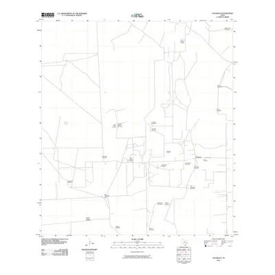 2010 Tacubaya2010 Print · USGSThe ranching and oil country of Brooks County remains largely defined by its historic water sources and family landholdings in the early twenty-first century. Genealogists and historians can trace local family roots through the Rancho Nuevo Cemetery, Perez Cemetery, and numerous named landmarks like the Leon Cito Windmill.
 - 2010 Map of Santa Elena NW, 2010 Print
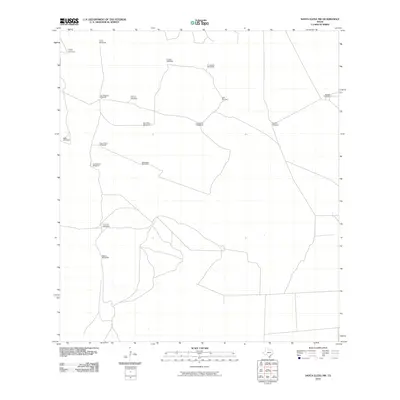 2010 Santa Elena NW2010 Print · USGSJim Hogg County ranch lands are documented here in the early twenty-first century, showing the critical infrastructure of the South Texas plains. Local historians and land researchers can trace family-named sites such as Cotulla Windmill, Lolo Windmill, and La Esquina Windmill.
 - 2010 Map of Cage Ranch, 2010 Print
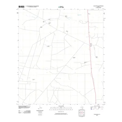 2010 Cage Ranch2010 Print · USGSBrooks County was a landscape of deep-rooted cattle ranches and emerging energy fields during the early twenty-first century. Researchers can trace the layout of family lands and livestock infrastructure through Cage Ranch, Barroso Camp, and Sancudo Windmill.
 - 2010 Map of Flowella, 2010 Print
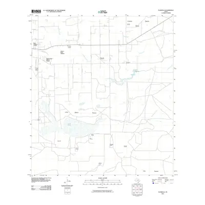 2010 Flowella2010 Print · USGSBrooks County ranchlands and energy fields are mapped here during a period of modern growth and local transition. Family researchers can locate legacy sites like Perez Cemetery, the Pedro Garza Zamora Cemetery, and traditional cattle lands including Mariposa Ranch.
 - 2010 Map of Pita Camp, 2010 Print
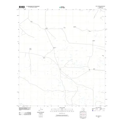 2010 Pita Camp2010 Print · USGSCoastal Kenedy County ranchlands are documented here during the early twenty-first century, showing a landscape defined by cattle and water. Genealogists and land historians can locate specific ranch infrastructure like Pita Camp, Ball Ranch, and named landmarks such as Ebony Hill.
 - 2010 Map of La Paloma Ranch, 2010 Print
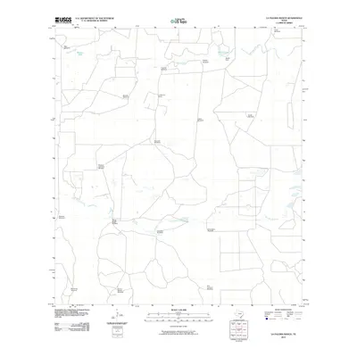 2010 La Paloma Ranch2010 Print · USGSKleberg County ranching country is mapped here in the early twenty-first century, showing the intricate water-management network of the coastal plains. Researchers can trace land divisions and local history through named sites like La Paloma Ranch, McGill Lake, and the Muchos Hombres Windmill.
 - 2010 Map of Premont East, 2010 Print
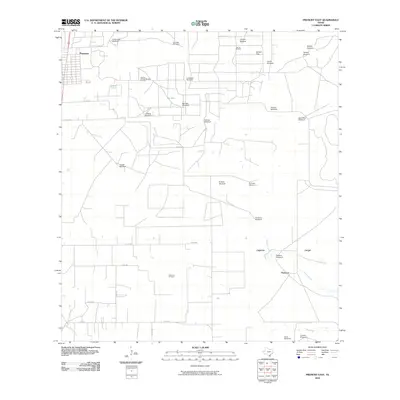 2010 Premont East2010 Print · USGSSouth Texas ranching and energy production intersect near Premont during the early twenty-first century. Researchers can trace dozens of named landmarks like Cantarawas Windmill, the Falfurrias Oil Field, and natural features including Big Lake.
 - 2010 Map of Julian, 2010 Print
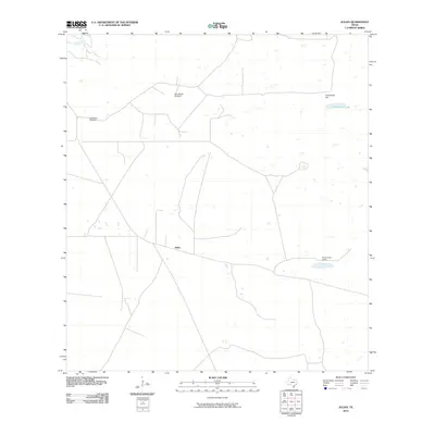 2010 Julian2010 Print · USGSThis South Texas ranching landscape in Kenedy County shows the isolated settlements and vital water infrastructure of the region in the early twenty-first century. Researchers can trace the layout of Julian and Chaparrosa Camp, or locate landmarks like the Alto Bonito Windmill.
 - 2010 Map of Baluarte Ranch, 2010 Print
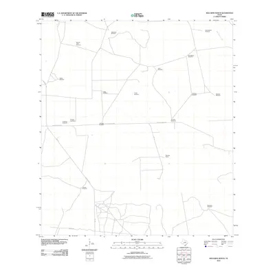 2010 Baluarte Ranch2010 Print · USGSJim Hogg County ranch lands are captured here during the early twenty-first century, showing the enduring infrastructure of South Texas cattle country. Genealogists and historians can locate specific family-named water points like Buenos Aires Windmill and the historic Baluarte Ranch.
Showing maps 1-25 of 135
Top cities of Brooks County
Frequently asked questions
- What are the different types of historical maps available for Brooks County?
- What is the oldest map of Brooks County?
- Where can I purchase historical maps of Brooks County for my home or office?
- Where can I download high-res historical maps of Brooks County?
- Are there historical topographic maps available for Brooks County?
- Is there historical aerial imagery available for Brooks County?
- Where are historical maps of Brooks County sourced from?