Old Maps of Luling, Texas for Academic Research
Study the evolution of Luling with 19 high-resolution historic maps. Whether you're teaching, researching, or modeling changes in land use, these maps provide essential visual documentation of urban, environmental, and geographic change.
- Analyze long-term change: Track patterns in development, transportation, and natural features.
- Ideal for environmental or urban studies: Support academic projects with primary historical map data.
- Use in the classroom or lab: Educators and researchers rely on these maps to bring historical context to life.
These maps are a powerful tool for teaching, research, and visualizing how Luling has changed over the decades.
Luling, TX maps
(19)- 1911 Map of San Marcos
 1911 San Marcos1911 Print · USGSCentral Texas at the peak of the railroad era shows a landscape of small farming communities and country schools. Genealogists can trace family footprints across Comanche Flat or locate long-gone sites like Highpoint School and Bethany Church.2 unique versions available
 - 1919 Map of San Marcos
 1919 San Marcos1919 Print · USGSTexas at the close of the Great War was a landscape of river-fed farms and emerging rail corridors between San Marcos and Lockhart. Genealogists can trace family footprints through numerous rural landmarks like Clark Chapel, High Prairie School, and Larremore.
 - 1925 Map of San Marcos 4-a
 1925 San Marcos 4-a1925 Print · USGSCaldwell and Gonzales counties are captured during the mid-twenties, showcasing a landscape shaped by rural school districts and diverging rail lines. Genealogists can locate family landmarks like Soda Spring, Ivy Siding, and the McNeil No 2 School.
 - 1929 Map of Luling
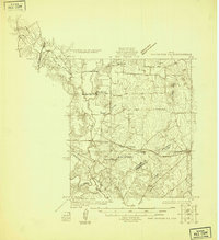
 1929 Luling1929 Print · USGSThe Guadalupe and San Marcos river valleys of Central Texas are captured here in the late twenties during a peak era of rail-and-river life. Genealogists can locate family landmarks like Sand Hill Sch, St James Tabernacle, and the old settlement of Belmont.2 unique versions available
 - 1953 Map of Seguin, 1965 Print
 1953 Seguin1965 Print · USGSSouth Texas in the early fifties shows a thriving river-and-rail economy across the Guadalupe and Colorado basins. Genealogists and historians can trace rail routes like the Southern Pacific through Seguin, locate oil wells, or find the Gary AAF near San Marcos.4 unique versions available
 - 1958 Map of Seguin
 1958 Seguin1958 Print · USGSSouth Texas in the late fifties was a network of river-valley settlements and active oilfields tied together by major rail lines. Genealogists and historians can trace family-named sites across Rabb Prairie, locate the Behring Store, or follow the Southern Pacific through Schulenburg.
 - 1964 Map of Harwood, 1966 Print
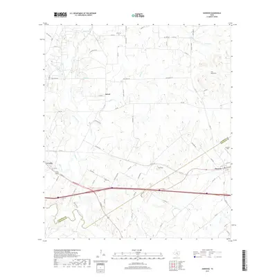
 1964 Harwood1966 Print · USGSThe Harwood area in the mid-sixties reveals a landscape defined by the oil industry and the Southern Pacific rail line. Researchers can trace family history at the Plum Creek Cem and Lone Oak Cem or locate the historic Salt Flat Oil Field.3 unique versions available
 - 1964 Map of Luling, 1966 Print
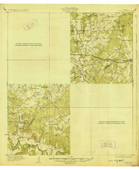
 1964 Luling1966 Print · USGSLuling and the surrounding oil fields are captured here in the mid-1960s as the regional energy and rail economy thrived. Genealogists can locate family landmarks such as Highsmith Cemeteries, Prairie Lea Cem, and the Rosenwald Sch.3 unique versions available
 - 1985 Map of Seguin, 1986 Print
 1985 Seguin1986 Print · USGSCentral Texas in the mid-1980s is defined by its vital oil industry and the crossroads of major interstate and rail networks. Genealogists and historians can trace the development of Luling Oil Field, identify the site of Old Flatonia, or locate family landmarks near St James and Palmetto State Park.2 unique versions available
 - 2010 Map of Harwood, 2010 Print
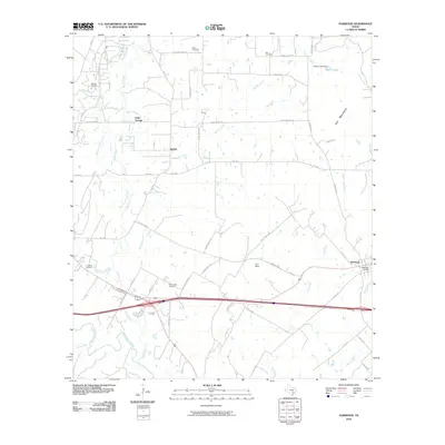 2010 Harwood2010 Print · USGSCovers Luling, including Harwood, Soda Springs, and other nearby areas
 - 2010 Map of Luling, 2010 Print
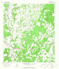
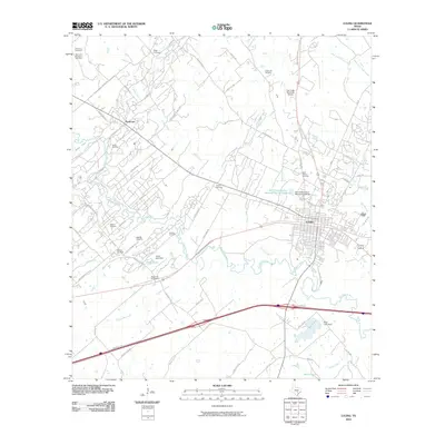 2010 Luling2010 Print · USGSCovers Luling, including Kingsbury, Stairtown, and other nearby areas
 - 2013 Map of Luling, 2013 Print
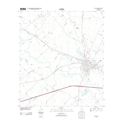 2013 Luling2013 Print · USGSCovers Luling, including Kingsbury, Stairtown, and other nearby areas
 - 2013 Map of Harwood, 2013 Print
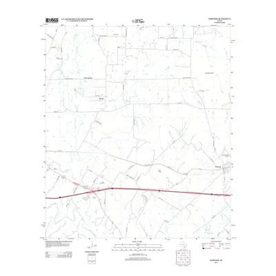 2013 Harwood2013 Print · USGSCovers Luling, including Harwood, Soda Springs, and other nearby areas
 - 2016 Map of Harwood, 2016 Print
 2016 Harwood2016 Print · USGSCovers Luling, including Harwood, Soda Springs, and other nearby areas
 - 2016 Map of Luling, 2016 Print
 2016 Luling2016 Print · USGSCovers Luling, including Kingsbury, Stairtown, and other nearby areas
 - 2019 Map of Luling, 2019 Print
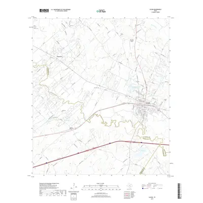 2019 Luling2019 Print · USGSCovers Luling, including Kingsbury, Stairtown, and other nearby areas
 - 2019 Map of Harwood, 2019 Print
 2019 Harwood2019 Print · USGSCovers Luling, including Harwood, Soda Springs, and other nearby areas
 - 2022 Map of Luling, 2022 Print
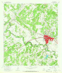
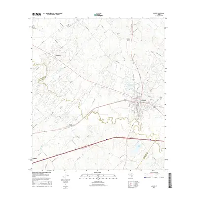
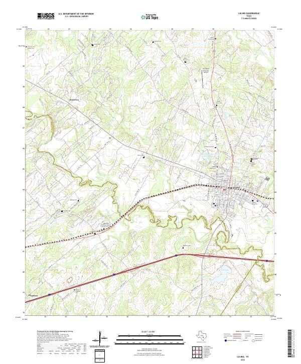 2022 Luling2022 Print · USGSThe Luling area at the start of the 2020s shows a complex network of rural cemeteries and river-driven geography at the Caldwell and Guadalupe county line. Genealogists can trace family history at San Juan Cem Number Two, Stairtown, and the Luling Catholic Cem.
 - 2022 Map of Harwood, 2022 Print
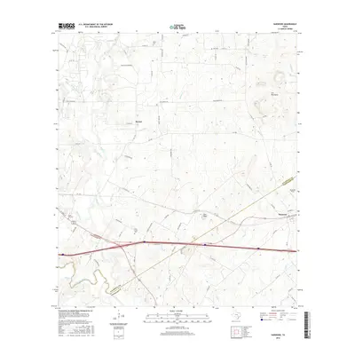
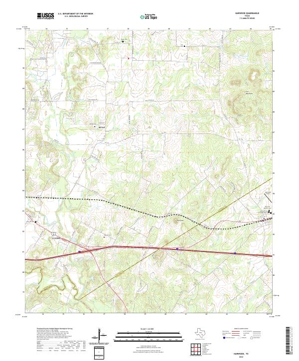 2022 Harwood2022 Print · USGSThe Caldwell and Gonzales county border comes alive in this contemporary survey of the Texas post-oak savannah. Genealogists and historians can trace numerous family and community sites like Atlanta Cem, McNeil Cem, and Ebbon Cem.
End of results
Showing maps 1-19 of 19
Top cities near Luling
- San Marcos historical maps
- Seguin historical maps
- Lockhart historical maps
- Gonzales historical maps
- Martindale historical maps
- Staples historical maps
See more
Frequently asked questions
- What are the different types of historical maps available for Luling?
- What is the oldest map of Luling?
- Where can I purchase historical maps of Luling for my home or office?
- Where can I download high-res historical maps of Luling?
- Are there historical topographic maps available for Luling?
- Is there historical aerial imagery available for Luling?
- Where are historical maps of Luling sourced from?