2000s (21st Century) Maps of Hood County, Texas
Explore 80 historic maps of Hood County from the 2000s (21st Century). These maps offer a rare glimpse into what life looked like during the 2000s — showing old roads, neighborhoods, homes, and landmarks that have changed or disappeared over time.
Whether you're researching your family's past, planning a metal detecting trip, or studying how Hood County's landscape evolved across the 2000s, these high-resolution maps are a powerful tool for exploring the history of this region.
- Focus on a specific era: All maps on this page are from the 2000s, giving you a focused view of this time period.
- See what’s changed: Compare century-old streets, trails, and buildings to today's modern landscape using overlays and satellite layers.
- Research with precision: Use these maps for genealogy, historical research, land use analysis, or educational projects.
- View, download, or print: Maps are fully viewable online in high resolution, and can be downloaded or printed for your own records.
Start exploring Hood County's history through authentic maps from the 2000s. This is your window into the past.
Hood County, TX maps
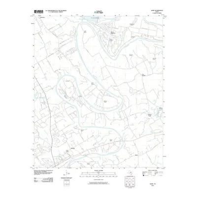
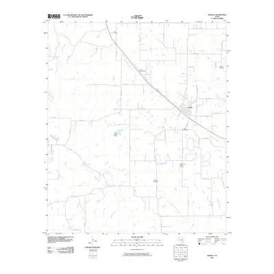
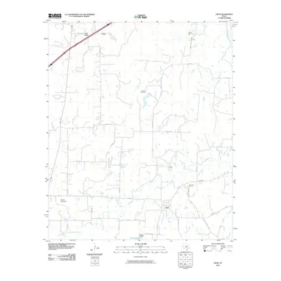
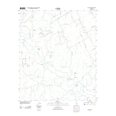
(80)- 2010 Map of Paluxy, 2010 Print
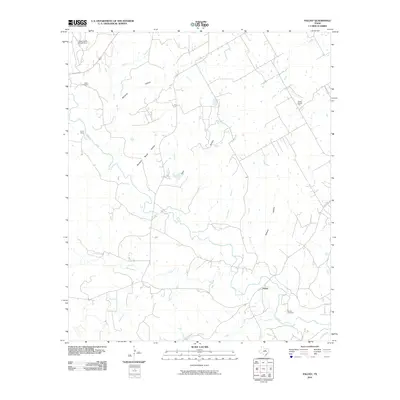 2010 Paluxy2010 Print · USGSCovers Hood County, including Paluxy, Erath County, and other nearby areas
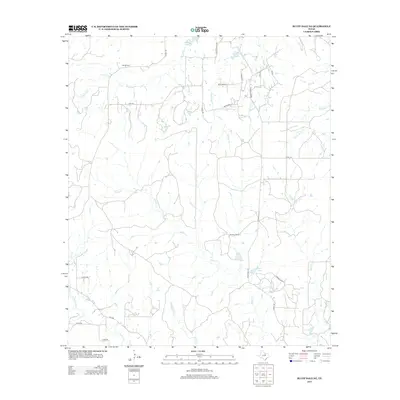
 - 2010 Map of Bluff Dale NE, 2010 Print
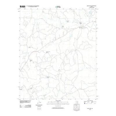
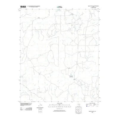 2010 Bluff Dale NE2010 Print · USGSCovers Hood County, including Erath County, United States, and other nearby areas
 - 2010 Map of Granbury, 2010 Print
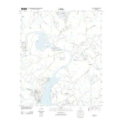
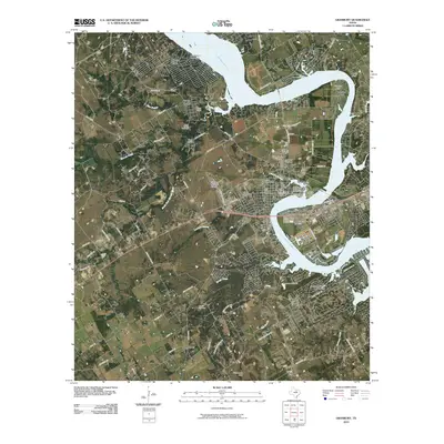 2010 Granbury2010 Print · USGSCovers Hood County, including Granbury, Stockton Bend, and other nearby areas
 - 2010 Map of Chalk Mountain, 2010 Print
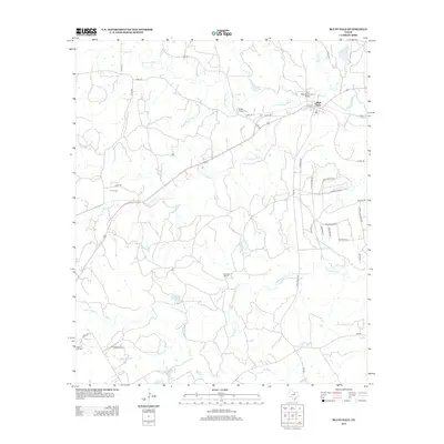
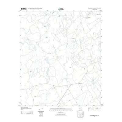
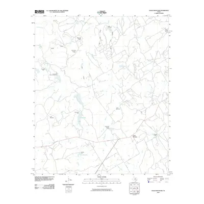 2010 Chalk Mountain2010 Print · USGSCovers Hood County, including Chalk Mountain, Erath County, and other nearby areas
 - 2010 Map of Nemo, 2010 Print
 2010 Nemo2010 Print · USGSCovers Hood County, including Glen Rose, Mambrino, and other nearby areas
 - 2010 Map of Bono, 2010 Print
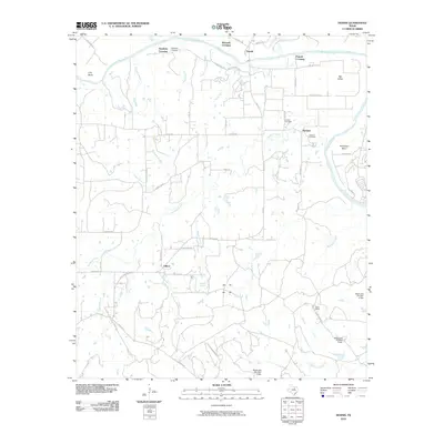
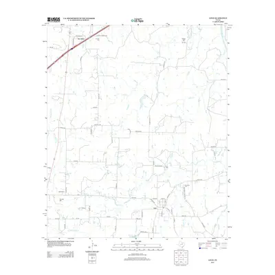
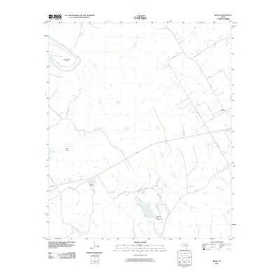 2010 Bono2010 Print · USGSCovers Hood County, including Cleburne, Bono, and other nearby areas
 - 2010 Map of Hill City, 2010 Print
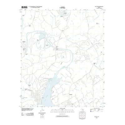
 2010 Hill City2010 Print · USGSCovers Hood County, including Glen Rose, Neri, and other nearby areas
 - 2010 Map of Bluff Dale, 2010 Print
 2010 Bluff Dale2010 Print · USGSCovers Hood County, including Bluff Dale, Erath County, and other nearby areas
 - 2010 Map of Godley, 2010 Print
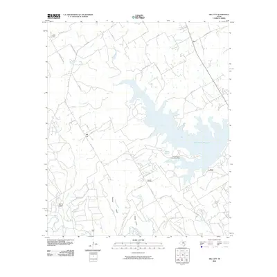
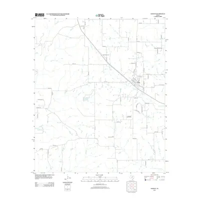
 2010 Godley2010 Print · USGSCovers Hood County, including Cleburne, Godley, and other nearby areas
 - 2010 Map of Dennis, 2010 Print
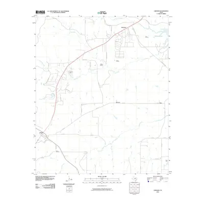
 2010 Dennis2010 Print · USGSCovers Hood County, including Maxwell Crossing, Buckner, and other nearby areas
 - 2010 Map of Cresson, 2010 Print
 2010 Cresson2010 Print · USGSCovers Hood County, including Boss, Wheatland, and other nearby areas
 - 2010 Map of Tin Top, 2010 Print
 2010 Tin Top2010 Print · USGSCovers Hood County, including Center Mill, Fairview, and other nearby areas
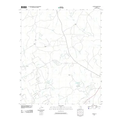
 - 2010 Map of Lipan, 2010 Print
 2010 Lipan2010 Print · USGSCovers Hood County, including Lipan, New Salem, and other nearby areas
 - 2010 Map of Chapin, 2010 Print
 2010 Chapin2010 Print · USGSCovers Hood County, including Baker, Cresson, and other nearby areas
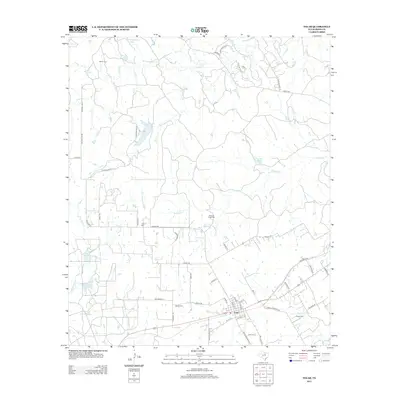
 - 2010 Map of Tolar, 2010 Print
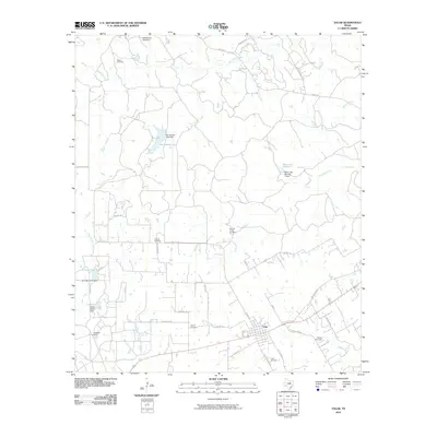 2010 Tolar2010 Print · USGSCovers Hood County, including Tolar, United States, and other nearby areas
 - 2010 Map of Acton, 2010 Print
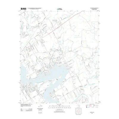
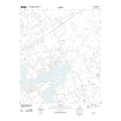 2010 Acton2010 Print · USGSCovers Hood County, including Granbury, Acton, and other nearby areas
 - 2012 Map of Paluxy, 2012 Print
 2012 Paluxy2012 Print · USGSCovers Hood County, including Paluxy, Erath County, and other nearby areas
 - 2012 Map of Tolar, 2012 Print
 2012 Tolar2012 Print · USGSCovers Hood County, including Tolar, United States, and other nearby areas
 - 2012 Map of Tin Top, 2012 Print
 2012 Tin Top2012 Print · USGSCovers Hood County, including Center Mill, Fairview, and other nearby areas
 - 2012 Map of Bluff Dale NE, 2012 Print
 2012 Bluff Dale NE2012 Print · USGSCovers Hood County, including Erath County, United States, and other nearby areas
 - 2012 Map of Bluff Dale, 2012 Print
 2012 Bluff Dale2012 Print · USGSCovers Hood County, including Bluff Dale, Erath County, and other nearby areas
 - 2012 Map of Lipan, 2012 Print
 2012 Lipan2012 Print · USGSCovers Hood County, including Lipan, New Salem, and other nearby areas
 - 2012 Map of Godley, 2012 Print
 2012 Godley2012 Print · USGSCovers Hood County, including Cleburne, Godley, and other nearby areas
 - 2012 Map of Acton, 2012 Print
 2012 Acton2012 Print · USGSCovers Hood County, including Granbury, Acton, and other nearby areas
 - 2013 Map of Chalk Mountain, 2013 Print
 2013 Chalk Mountain2013 Print · USGSCovers Hood County, including Chalk Mountain, Erath County, and other nearby areas
Showing maps 1-25 of 80
Top cities of Hood County
Frequently asked questions
- What are the different types of historical maps available for Hood County?
- What is the oldest map of Hood County?
- Where can I purchase historical maps of Hood County for my home or office?
- Where can I download high-res historical maps of Hood County?
- Are there historical topographic maps available for Hood County?
- Is there historical aerial imagery available for Hood County?
- Where are historical maps of Hood County sourced from?