1980s Maps of Hudspeth County, Texas
Explore 24 historic maps of Hudspeth County from the 1980s. These maps offer a rare glimpse into what life looked like during the 1980s — showing old roads, neighborhoods, homes, and landmarks that have changed or disappeared over time.
Whether you're researching your family's past, planning a metal detecting trip, or studying how Hudspeth County's landscape evolved across the 1980s, these high-resolution maps are a powerful tool for exploring the history of this region.
- Focus on a specific era: All maps on this page are from the 1980s, giving you a focused view of this time period.
- See what’s changed: Compare century-old streets, trails, and buildings to today's modern landscape using overlays and satellite layers.
- Research with precision: Use these maps for genealogy, historical research, land use analysis, or educational projects.
- View, download, or print: Maps are fully viewable online in high resolution, and can be downloaded or printed for your own records.
Start exploring Hudspeth County's history through authentic maps from the 1980s. This is your window into the past.
Hudspeth County, TX maps
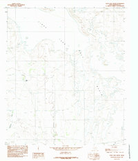
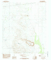
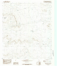
(24)- 1980 Map of Bassett Lake
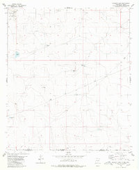 1980 Bassett Lake1980 Print · USGSThe high desert borderlands of Otero County are captured here in the early eighties. Researchers can trace water management and military boundaries across the landscape, from Bassett Lake and Escondida Tank to the vast Fort Bliss Military Reservation.
 - 1980 Map of Mountain Tank
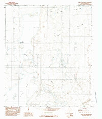
 1980 Mountain Tank1980 Print · USGSThe high desert borderlands of New Mexico and Texas come into focus here during the late twentieth century. Genealogists and researchers can trace the limits of the Fort Bliss Military Reservation (Mcgregor Range) and find local landmarks like Hat Ranch and Hale Tank.
 - 1984 Map of Baylor Draw, 1985 Print
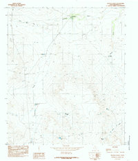
 1984 Baylor Draw1985 Print · USGSHudspeth County ranching country is captured here in the early eighties, showing a landscape defined by water management and desert drainage. Researchers can trace the placement of vital earthen works like Preacher Tank, Big Moon Tank, and the winding Baylor Draw.
 - 1984 Map of Dell City, 1985 Print
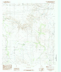
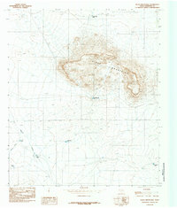
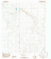
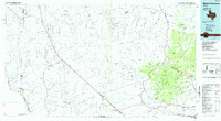
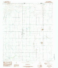 1984 Dell City1985 Print · USGSDell City and the northern reaches of Hudspeth County appear here in the early 1980s as a thriving desert agricultural hub. Researchers can trace the layout of the town's community spaces like the Rodeo Ground and Athletic Fields, or locate outlying landmarks such as Round Mountain and the Airport.
 - 1984 Map of Mickey Draw West, 1985 Print
 1984 Mickey Draw West1985 Print · USGSWestern Hudspeth County in the early eighties shows a sparse desert landscape carved by seasonal drainages. Researchers can trace the layout of remote ranching and industrial outposts, including a Landing Strip and water features like Hitson Draw and various Tanks.
 - 1984 Map of Babb Canyon, 1985 Print
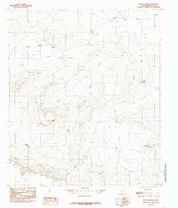
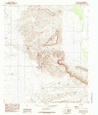 1984 Babb Canyon1985 Print · USGSHudspeth County, Texas, was a landscape of high mesas and critical water points in the early eighties. Researchers can trace the ranching history of the area through family-named landmarks like Kuykendall Tank and the dramatic drop of the Sierra Diablo Rim.
 - 1984 Map of Cerro Diablo, 1985 Print
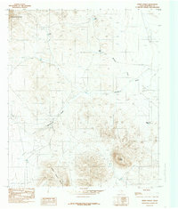 1984 Cerro Diablo1985 Print · USGSHudspeth County, Texas, was a land of desert draws and isolated peaks in the mid-1980s. Researchers can trace the drainage of Washburn Draw and locate specific ranching infrastructure like the Landing Strip and the namesake summit of Cerro Diablo.
 - 1984 Map of Black Mountains NW, 1985 Print
 1984 Black Mountains NW1985 Print · USGSHudspeth County's high-desert ranching country is captured here during the mid-1980s. Researchers can trace water management and infrastructure through landmarks like The Laguna, Black Mountain Tank, and the winding Eightmile Draw.
 - 1984 Map of Cornudas, 1985 Print
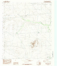
 1984 Cornudas1985 Print · USGSHudspeth County ranching and mountain terrain are captured here in the mid-1980s, before modern desert expansion. Trace local landmarks like the Cornudas settlement, the heights of Miller Mountain, and the landing infrastructure at the Landing Strip.
 - 1984 Map of Linda Lake South, 1985 Print
 1984 Linda Lake South1985 Print · USGSHudspeth County, Texas, is captured in the early 1980s as a quiet expanse of high-desert drainage and ranching infrastructure. Researchers can trace the seasonal hydrology of Linda Lake and the Salt Basin alongside landmarks like Russell Tank.
 - 1984 Map of Linda Lake North, 1985 Print
 1984 Linda Lake North1985 Print · USGSThe West Texas borderlands in the 1980s are captured here, showing the arid transition between Texas and New Mexico. Researchers can trace remote water sources like Many Spring and land markers such as Erin Island and the Corral.
 - 1984 Map of Scratch Ranch, 1985 Print
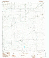
 1984 Scratch Ranch1985 Print · USGSArid Hudspeth County ranchlands are documented here in the early eighties, showing the essential water systems of the high desert. Researchers can trace land use and livestock history through named landmarks like Scratch Ranch, Laguna Tank, and Miller Draw.
 - 1984 Map of Black Mountains, 1985 Print
 1984 Black Mountains1985 Print · USGSHudspeth County, Texas, in the mid-eighties reveals a high-desert ranching landscape centered on the rocky Black Mountains. Researchers can trace the essential network of water catchments including Bond Tank, Clifton Tank, and Miller Draw.
 - 1984 Map of Salt Flat, 1985 Print
 1984 Salt Flat1985 Print · USGSHudspeth County, Texas, was a land of infrastructure and elevation in the mid-eighties. Genealogists and historians can trace local landmarks like Salt Flat, family-named sites such as Cavender Tank, and the high peaks of Flattop Mountain and Jim Hill.
 - 1984 Map of Mickey Draw East, 1985 Print
 1984 Mickey Draw East1985 Print · USGSThe Hudspeth County ranchlands are captured here in the early 1980s, showcasing a landscape of desert draws and vital water tanks. Genealogists and historians can trace local landmarks like Melbeth Tank, the remote Landing Strip, and a small Cem.
 - 1984 Map of Hueco Station, 1985 Print
 1984 Hueco Station1985 Print · USGSTexas ranching and water infrastructure in Hudspeth County are documented here in the early 1980s. Trace the vital network of desert reservoirs like Pretty Soon Tank and Holly Tank near the landmarks of Hueco Station.
 - 1984 Map of C and L Draw, 1985 Print
 1984 C and L Draw1985 Print · USGSThe high desert of Hudspeth County is captured here in the mid-eighties as it straddles the New Mexico border. Local historians can trace seasonal water patterns through Cornudas Draw and Washburn Draw, alongside ranching landmarks like Jones Tank.
 - 1984 Map of Adobe House Tank, 1985 Print
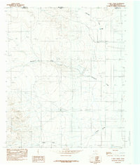
 1984 Adobe House Tank1985 Print · USGSHudspeth County ranching lands are captured in the mid-1980s, centered on the high terrain of Molesworth Mesa. Local historians and researchers can trace vital water sources and land improvements like Adobe House Tank, Cinco De Mayo Tank, and Palma Tank.
 - 1984 Map of Indian Hot Springs, 1985 Print
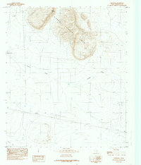
 1984 Indian Hot Springs1985 Print · USGSIn the mid-1980s, the remote borderlands of West Texas remained a territory defined by isolated springs and desert peaks. Researchers can trace the rugged access to Indian Hot Springs and locate historic water points like Eagle Spring and Smugglers Gap.
 - 1985 Map of Mount Livermore
 1985 Mount Livermore1985 Print · USGSThe trans-Pecos landscape of the mid-1980s comes to life through this survey of the desert floor and volcanic peaks. Trace the Southern Pacific line past Valentine or locate historic sites like Plata Verde Mines and the McDonald Observatory.3 unique versions available
 - 1985 Map of Guadalupe Peak
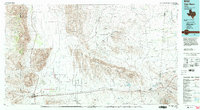
 1985 Guadalupe Peak1985 Print · USGSCulberson County and the rugged Trans-Pecos region are shown in the mid-1980s as a landscape of massive peaks and desert draws. Researchers can trace the historic Butterfield Trail, locate the Old Michigan Mine, and explore the high country of Guadalupe Peak.
 - 1985 Map of Sierra Blanca
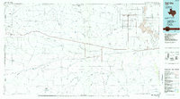
 1985 Sierra Blanca1985 Print · USGSThe Trans-Pecos desert during the mid-eighties shows a landscape of mountain ranges and critical international border crossings. Trace the old river settlements of Fort Hancock and Mc Nary, find the historic Fort Quitman (Site), or follow the legacy of the Southern Pacific railroad.2 unique versions available
 - 1985 Map of Dell City
 1985 Dell City1985 Print · USGSThe northern Chihuahuan Desert in the mid-1980s reveals a landscape of isolated farming hubs and vast salt basins. Genealogists and researchers can trace the roads and water tanks around Dell City, the remote outpost at Salt Flat, and the rugged slopes of the Sierra Diablo.2 unique versions available
 - 1985 Map of Van Horn
 1985 Van Horn1985 Print · USGSFar West Texas comes into focus in the mid-1980s as a high-desert crossroads for rail and ranching. Genealogists and historians can trace the Southern Pacific line through Van Horn, locate the settlement of Kent, and explore landmarks like Seven Heart Gap.3 unique versions available
End of results
Showing maps 1-24 of 24
Top cities of Hudspeth County
Frequently asked questions
- What are the different types of historical maps available for Hudspeth County?
- What is the oldest map of Hudspeth County?
- Where can I purchase historical maps of Hudspeth County for my home or office?
- Where can I download high-res historical maps of Hudspeth County?
- Are there historical topographic maps available for Hudspeth County?
- Is there historical aerial imagery available for Hudspeth County?
- Where are historical maps of Hudspeth County sourced from?