2000s (21st Century) Maps of Hudspeth County, Texas
Explore 460 historic maps of Hudspeth County from the 2000s (21st Century). These maps offer a rare glimpse into what life looked like during the 2000s — showing old roads, neighborhoods, homes, and landmarks that have changed or disappeared over time.
Whether you're researching your family's past, planning a metal detecting trip, or studying how Hudspeth County's landscape evolved across the 2000s, these high-resolution maps are a powerful tool for exploring the history of this region.
- Focus on a specific era: All maps on this page are from the 2000s, giving you a focused view of this time period.
- See what’s changed: Compare century-old streets, trails, and buildings to today's modern landscape using overlays and satellite layers.
- Research with precision: Use these maps for genealogy, historical research, land use analysis, or educational projects.
- View, download, or print: Maps are fully viewable online in high resolution, and can be downloaded or printed for your own records.
Start exploring Hudspeth County's history through authentic maps from the 2000s. This is your window into the past.
Hudspeth County, TX maps
(460)- 2010 Map of Sheep Peak, 2010 Print
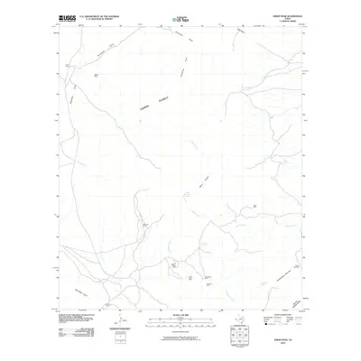 2010 Sheep Peak2010 Print · USGSCulberson County at the start of the decade remains a rugged domain of mountain ranges and scattered mineral claims. Miners and researchers can trace the history of desert industry at the Mohawk Mine, Hazel Mine, and Blackshaft Mine.
 - 2010 Map of Neely Canyon OE S, 2010 Print
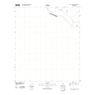 2010 Neely Canyon OE S2010 Print · USGSThe international border along the Rio Grande was documented in detail just after the turn of the millennium. Local history researchers can trace the path of Indian Hot Spring Rd and the unique geography of The Little Box and Big Tank Canyon.
 - 2010 Map of Grayton Lake, 2010 Print
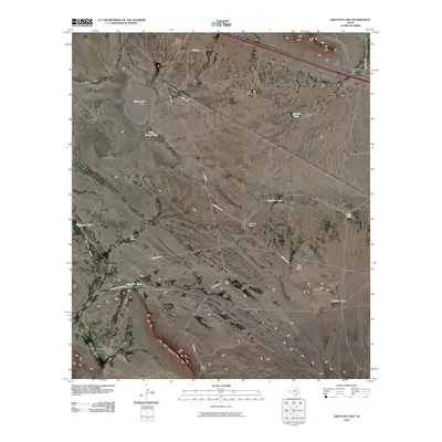 2010 Grayton Lake2010 Print · USGSHudspeth County ranching country is shown here in the early twenty-first century, featuring remote outposts and desert terrain. Genealogists and researchers can trace local landmarks like Isbell Ranch, Streetcar Camp, and Love Hogback.
 - 2010 Map of Eagle Mountains SW, 2010 Print
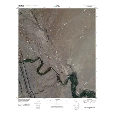 2010 Eagle Mountains SW2010 Print · USGSThe international border along the Rio Grande is captured here in the early twenty-first century. Genealogists and desert historians can trace local landmarks like Guerra Farm and the winding course of Red Light Draw through the basin.
 - 2010 Map of Sierra Blanca SW, 2010 Print
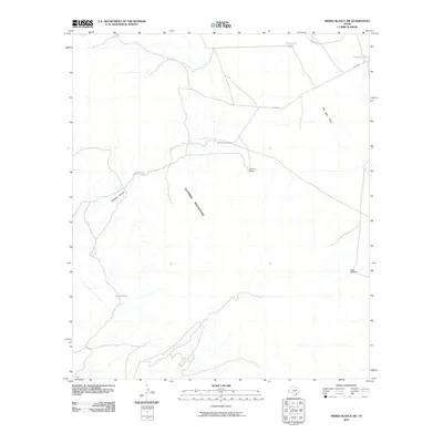 2010 Sierra Blanca SW2010 Print · USGSThe Trans-Pecos desert south of Sierra Blanca is captured here in the late 2000s, showing a landscape defined by ranching and high relief. Genealogists and local historians can trace isolated landmarks like Tammin Ranch, Sevenmile Tank, and the winding Quitman Pass Rd.
 - 2010 Map of Neely Arroyo, 2010 Print
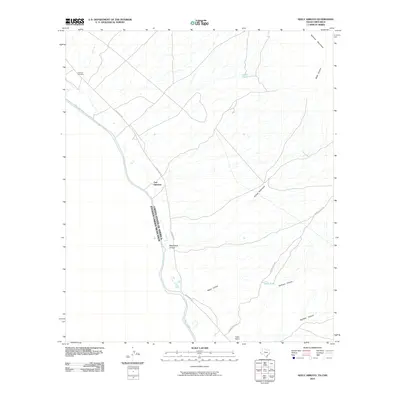 2010 Neely Arroyo2010 Print · USGSThe Texas-Mexico borderlands come into sharp focus here at the start of the twenty-first century, centered on the historic site of Fort Quitman. Trace the remote landscape of the Rio Grande valley through features like Quitman Cemetery, Neely Ranch, and the deep cuts of Quitman Canyon.
 - 2010 Map of Sierra Blanca, 2010 Print
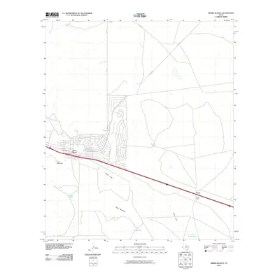 2010 Sierra Blanca2010 Print · USGSSierra Blanca and the surrounding Hudspeth County desert are captured here in the early 21st century. Genealogists and local historians can trace the street layouts of the town center or locate outlying landmarks like Faskin Ranch, Texan Mountain, and Blount Tank.
 - 2010 Map of Silver King Canyon, 2010 Print
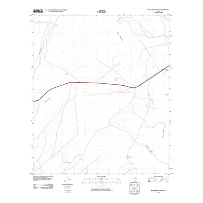 2010 Silver King Canyon2010 Print · USGSHudspeth County, Texas, is captured here in the early twenty-first century as a landscape of desert ranching and mining. Researchers can trace the drainage of Arroyo Balluco or locate historical sites like the Bonanza Mine and Rock House Tank.
 - 2010 Map of Schroder Arroyo, 2010 Print
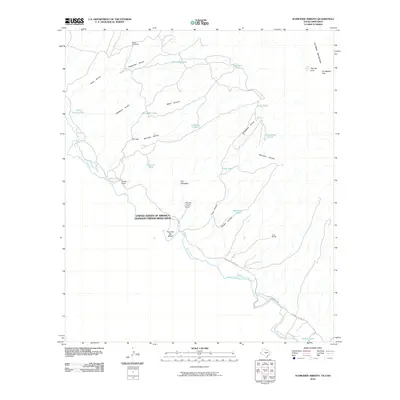 2010 Schroder Arroyo2010 Print · USGSThe Chihuahuan Desert borderlands are documented here in the early twenty-first century, centered on the international boundary along the Rio Grande. Researchers can trace isolated ranch sites like Porcher Ranch and topographical landmarks such as The Palisades and Smugglers Gap.
 - 2010 Map of Dome Peak, 2010 Print
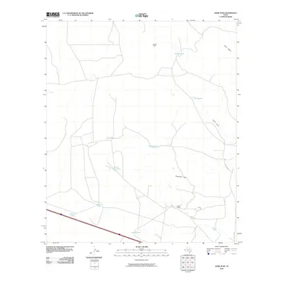 2010 Dome Peak2010 Print · USGSHudspeth County ranch lands and desert peaks are captured here in the early twenty-first century. Researchers can trace historic water management and land use through Wilkin Ranch, Railroad Tank, and the high point of Dome Peak.
 - 2010 Map of Devil Ridge, 2010 Print
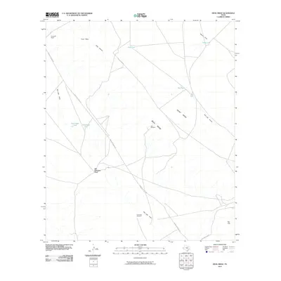 2010 Devil Ridge2010 Print · USGSIn the high desert of West Texas during the early twenty-first century, this area shows a landscape defined by ranching life and isolation. Researchers can trace the legacy of remote outposts like Old Patterson Place and vital water sources like Rock Tank and East Windmill.
 - 2010 Map of Hackett Peak, 2010 Print
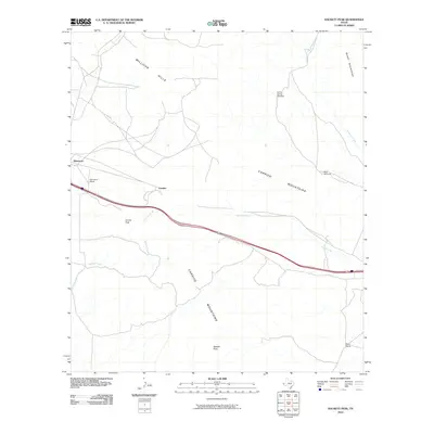 2010 Hackett Peak2010 Print · USGSWest Texas ranching and mountain terrain are captured here in the early twenty-first century as Interstate 10 cuts through the desert. Local historians can locate the Sammons Ranch and Mann Ranch or trace the water sources at Carrizo Spring Windmill and West Windmill.
 - 2010 Map of Bean Hills, 2010 Print
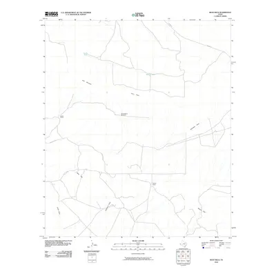 2010 Bean Hills2010 Print · USGSHudspeth County, Texas, is mapped here in the early twenty-first century, revealing a landscape of remote ranching outposts and essential water infrastructure. Trace the locations of Keene Ranch and the Sand Hollow Windmill across the Sierra Diablo and Bean Hills.
 - 2010 Map of Allamoore, 2010 Print
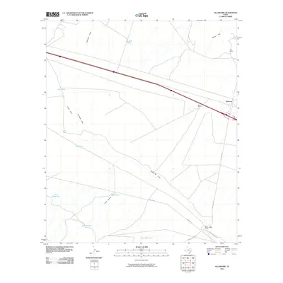 2010 Allamoore2010 Print · USGSThe ranching country of Hudspeth County is captured here in the early twenty-first century, showing the intersection of rail and desert life. Researchers can trace remote property locations like Espy Ranch and historic water sources such as Hot Wells and Silva Tank.
 - 2010 Map of Lasca, 2010 Print
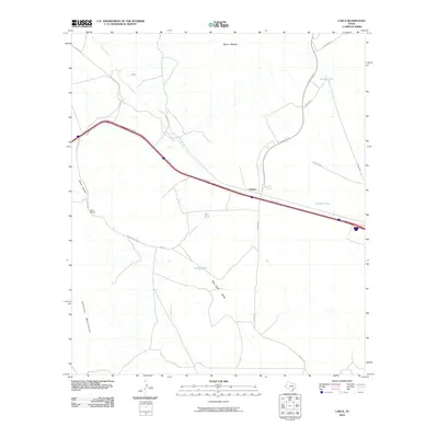 2010 Lasca2010 Print · USGSThe high-desert terrain of Hudspeth County is documented here as it appeared in the early 21st century, centered on the transport corridor between Etholen and Lasca. Researchers can trace local ranching history through sites like Love Ranch and a network of water catchments including Etholen Tank and Granger Tank.
 - 2010 Map of Wildhorse Draw, 2010 Print
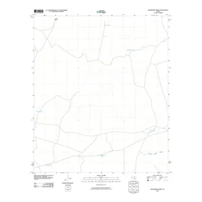 2010 Wildhorse Draw2010 Print · USGSCoyote Place and the surrounding draws of Hudspeth County are shown here as they appeared in the early twenty-first century. Researchers can trace the network of vital water sources such as Old Rattlesnake Tank, Shakespeare Tanks, and Peacock Tank in the vicinity of Peacock Canyon.
 - 2010 Map of Buckhorn Draw East, 2010 Print
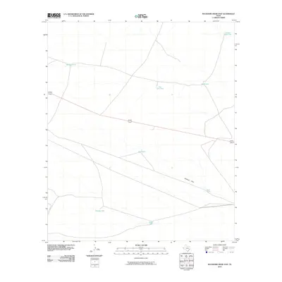 2010 Buckhorn Draw East2010 Print · USGSHudspeth County rangeland comes into focus at the start of the twenty-first century, showing the critical infrastructure of West Texas ranching. Researchers can trace the network of vital water catchments such as Moccasin Tank, Willer Tank, and the winding path of Buckhorn Draw.
 - 2010 Map of Baylor Draw, 2010 Print
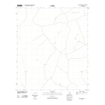 2010 Baylor Draw2010 Print · USGSThis part of west Texas in the early 2000s showcases a landscape defined by ranching infrastructure and desert drainage. Genealogists and researchers can trace the vital network of local water sources like Preacher Tank, Baylor Draw, and South Well Draw.
 - 2010 Map of Big Heiser Tank, 2010 Print
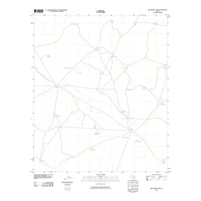 2010 Big Heiser Tank2010 Print · USGSHudspeth County ranching lands are captured here in the early twenty-first century, showing the isolated network of desert roads and water basins. Researchers can trace the layout of the Kerr Ranch and find named water features like Dead Horse Tank and Wagon Wheel Tank.
 - 2010 Map of Hueco Station, 2010 Print
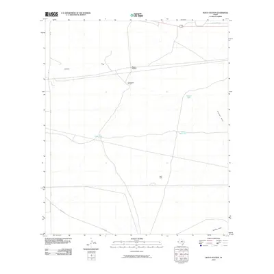 2010 Hueco Station2010 Print · USGSThe ranching landscape of Hudspeth County is captured here in the early twenty-first century, showing the essential water infrastructure of West Texas. Researchers can trace rural roads like Scratch Rd and locate livestock landmarks including Last Chance Windmill and Pretty Soon Tank.
 - 2010 Map of Sneed Mountain, 2010 Print
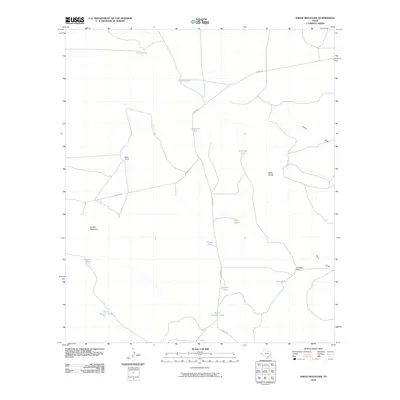 2010 Sneed Mountain2010 Print · USGSHudspeth County ranching country is mapped here during the early twenty-first century, showing a landscape reliant on managed water. Genealogists and historians can locate family-named sites such as Reed Ranch, G McAdoo Ranch, and Beeman Tank.
 - 2010 Map of Linda Lake South, 2010 Print
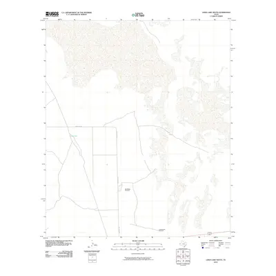 2010 Linda Lake South2010 Print · USGSHudspeth County, Texas, was a landscape defined by ranching and the search for water during the early twenty-first century. Researchers and local historians can trace isolated water sources like Russel Tank and historic infrastructure such as Old Meeks Windmill or Cottonwood Windmill.
 - 2010 Map of Tepee Butte SW, 2010 Print
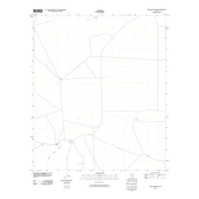 2010 Tepee Butte SW2010 Print · USGSHudspeth County, Texas, is shown here as a landscape of remote ranching and essential water tanks in the early 2000s. Researchers can trace rural infrastructure and desert land use at MacGuire Ranch and along the unpaved Mosley Rd.
 - 2010 Map of Padre Canyon, 2010 Print
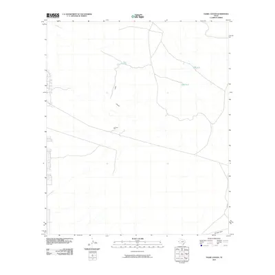 2010 Padre Canyon2010 Print · USGSEl Paso County at the dawn of the 21st century reveals a landscape where ranching heritage meets modern expansion. Researchers can trace the desert's history through water features like Owl Tanks and historical sites such as the Old Padre Mine.
 - 2010 Map of Acala, 2010 Print
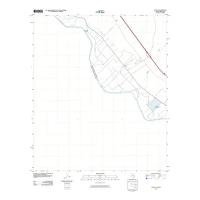 2010 Acala2010 Print · USGSThe Texas-Mexico borderlands come into focus in the early twenty-first century, showing the irrigation-dependent valley south of El Paso. Genealogists and historians can trace local landmarks like Acala, the industrial Texas No Name Number 47 Dam, and the crossing at Iser.
Showing maps 1-25 of 460
Top cities of Hudspeth County
Frequently asked questions
- What are the different types of historical maps available for Hudspeth County?
- What is the oldest map of Hudspeth County?
- Where can I purchase historical maps of Hudspeth County for my home or office?
- Where can I download high-res historical maps of Hudspeth County?
- Are there historical topographic maps available for Hudspeth County?
- Is there historical aerial imagery available for Hudspeth County?
- Where are historical maps of Hudspeth County sourced from?