2020s Maps of Hudspeth County, Texas
Explore 101 historic maps of Hudspeth County from the 2020s. These maps offer a rare glimpse into what life looked like during the 2020s — showing old roads, neighborhoods, homes, and landmarks that have changed or disappeared over time.
Whether you're researching your family's past, planning a metal detecting trip, or studying how Hudspeth County's landscape evolved across the 2020s, these high-resolution maps are a powerful tool for exploring the history of this region.
- Focus on a specific era: All maps on this page are from the 2020s, giving you a focused view of this time period.
- See what’s changed: Compare century-old streets, trails, and buildings to today's modern landscape using overlays and satellite layers.
- Research with precision: Use these maps for genealogy, historical research, land use analysis, or educational projects.
- View, download, or print: Maps are fully viewable online in high resolution, and can be downloaded or printed for your own records.
Start exploring Hudspeth County's history through authentic maps from the 2020s. This is your window into the past.
Hudspeth County, TX maps
(101)- 2020 Map of Alamo Mountain, 2020 Print
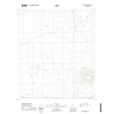 2020 Alamo Mountain2020 Print · USGSThe high desert borderlands near the New Mexico and Texas line come into focus in this recent survey. Ranching history is written across the landscape in the form of remote water catchments like Grief Tank, Mixen Tank, and the prominent Alamo Mountain.
 - 2020 Map of Culp Draw, 2020 Print
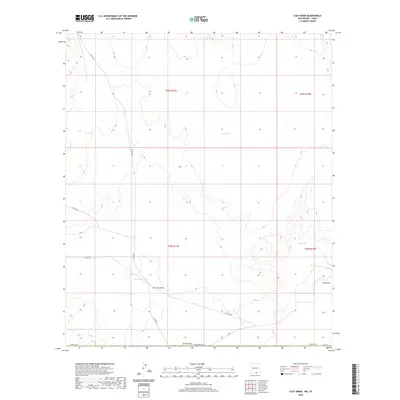 2020 Culp Draw2020 Print · USGSOtero County, New Mexico, is documented here in the early twenty-first century, showing a landscape defined by desert drainage and ranching infrastructure. You can trace the paths of Fourmile Draw and Club Draw or locate livestock water sources like Jim Tank and Lost Pond.
 - 2020 Map of McVeigh Hills, 2020 Print
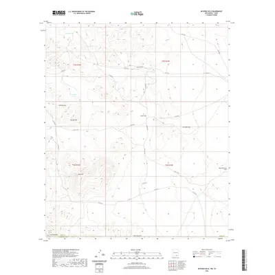 2020 McVeigh Hills2020 Print · USGSThe arid rangelands of the Otero County border come to life in this recent survey of high-desert terrain. Genealogists and land researchers can trace property boundaries and water sources like Brushy Tank, Chattfield Mtn, and the C C C Tank.
 - 2020 Map of Cienega School, 2020 Print
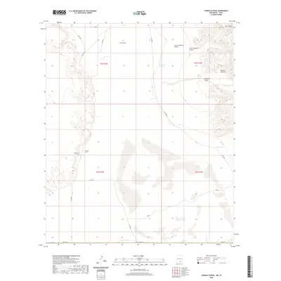 2020 Cienega School2020 Print · USGSOtero County at the New Mexico-Texas border is captured here in a landscape of high-desert flats and steep mountain canyons. Researchers can locate the Cienega School and Cienega Cem or trace the rugged geography of the Brokeoff Mountains and Crow Flats.
 - 2020 Map of Bassett Lake, 2020 Print
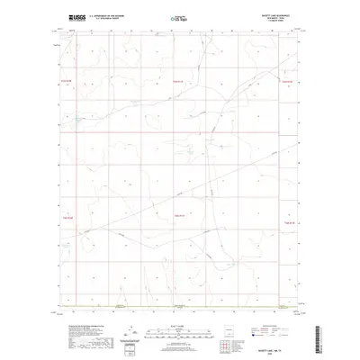 2020 Bassett Lake2020 Print · USGSThe New Mexico and Texas borderlands are captured here in the late twenty-teens, showing the critical water infrastructure of the desert. Researchers can trace the ranching landscape through named catchments like Bassett Lake, Whittaker Tank, and Camaleche Tanks.
 - 2020 Map of Shiloh Hills SE, 2020 Print
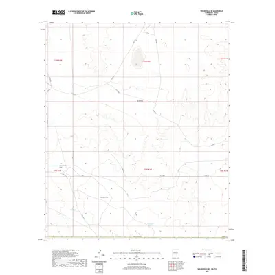 2020 Shiloh Hills SE2020 Print · USGSOtero County in the early 2020s reveals a high-desert landscape shaped by seasonal water management and isolated ranching routes. Researchers can trace the drainages of Wind Mountain Draw and locate specific water resources like Bennett Tank and Brownfield Tanks.
 - 2020 Map of Cornudas Mountain, 2020 Print
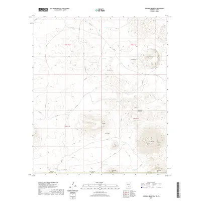 2020 Cornudas Mountain2020 Print · USGSThe high-desert peaks of the New Mexico and Texas borderland are documented here as they appeared in 2020. Local researchers can trace ranching infrastructure and desert landforms including Cornudas Mtn, CCC Tank, and the State Line Tank.
 - 2020 Map of Mountain Tank, 2020 Print
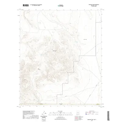 2020 Mountain Tank2020 Print · USGSThe high-desert borderlands of southern New Mexico and West Texas are documented here during the modern era. Researchers can trace the essential water sources and mountain routes that define the region, from Red House Tanks to the peaks of the Hueco Mountains.
 - 2020 Map of Panther Canyon, 2020 Print
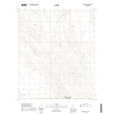 2020 Panther Canyon2020 Print · USGSOtero County, New Mexico, is shown here during the late twenty-teens, revealing a high-altitude landscape of critical water holes and livestock tanks. Researchers can trace land use and ranching history through markers like Indian Water Hole, Will Magby Tank, and Cutoff Ridge.
 - 2022 Map of Eagle Mountains SW, 2022 Print
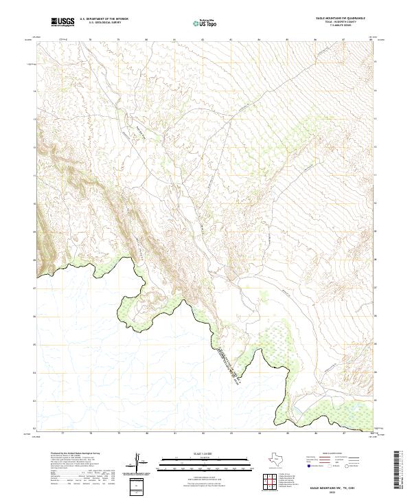 2022 Eagle Mountains SW2022 Print · USGSThe Texas-Mexico borderlands along the Rio Grande are captured here in the early twenty-first century. Researchers can trace remote ranching access via Bramlett Rd and follow the natural drainages of Red Light Draw and Mule Canyon toward the river.
 - 2022 Map of Cedar Arroyo, 2022 Print
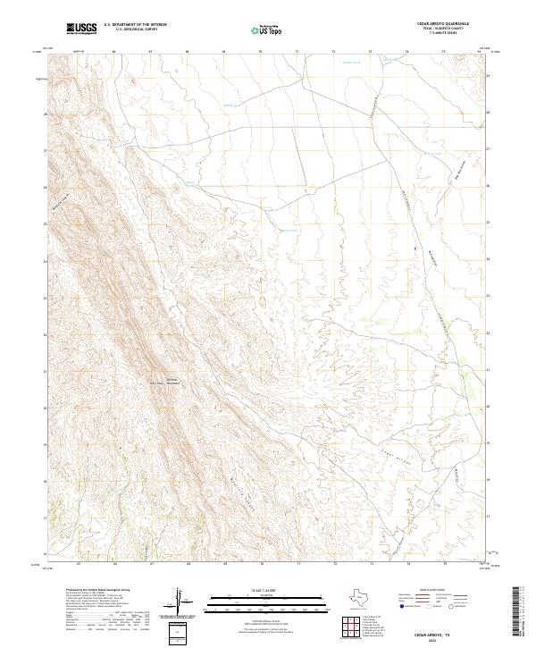 2022 Cedar Arroyo2022 Print · USGSThe high desert of Hudspeth County is captured here in the early twenty-first century, showing the rugged connection between the mountains and the arroyos. Researchers can trace land use through cattle tanks like Adobe Tank and follow Indian Hot Springs Rd through the Quitman Mountains.
 - 2022 Map of Schroder Arroyo, 2022 Print
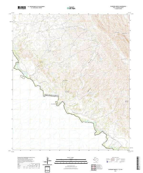 2022 Schroder Arroyo2022 Print · USGSThe West Texas borderlands along the Rio Grande are shown in detail here during the early twenty-first century. Researchers can trace the winding Indian Hot Spring Rd past remote landmarks like The Palisades, The Little Big Bend, and Smugglers Gap.
 - 2022 Map of Eagle Mountains NW, 2022 Print
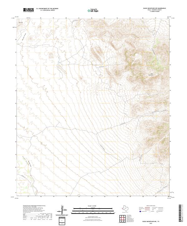 2022 Eagle Mountains NW2022 Print · USGSHigh desert canyons and mountain ridges in Hudspeth County are revealed in this recent survey of the Texas Trans-Pecos. Researchers and local historians can trace the paths of Black Hills Mine Rd and Hyter Ranch Rd through the Eagle Mountains.
 - 2022 Map of Eagle Mountains SW OE S, 2022 Print
 2022 Eagle Mountains SW OE S2022 Print · USGSThe high desert terrain of West Texas is documented here in the early twenty-first century, showing a landscape defined by natural drainage. Researchers can trace the international boundary line at USA EUM along this remote stretch of the border.
 - 2022 Map of Schroder Arroyo OE S, 2022 Print
 2022 Schroder Arroyo OE S2022 Print · USGSThe Texas-Mexico borderlands along the Rio Grande are mapped here as they appeared in 2022. Researchers can trace the desert hydrology and early travel routes like Indian Hot Spring Rd and the remnants of Oxbow Lake.
 - 2022 Map of Eagle Mountains NE, 2022 Print
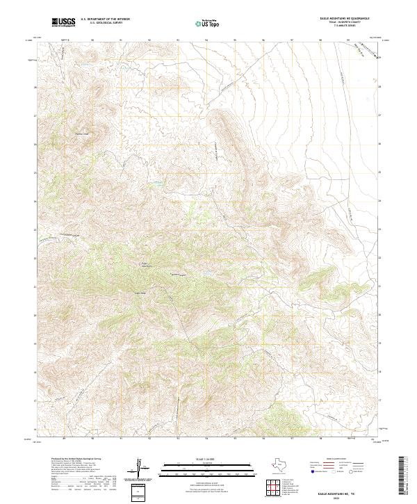 2022 Eagle Mountains NE2022 Print · USGSThe Eagle Mountains of Hudspeth County are documented here in the early twenty-first century, showing a high-desert landscape of peaks and canyons. Researchers can locate critical water sources like Eagle Spring and trace primitive routes such as Mine Rd and Guest Ranch Rd.
 - 2022 Map of Neely Canyon OE S, 2022 Print
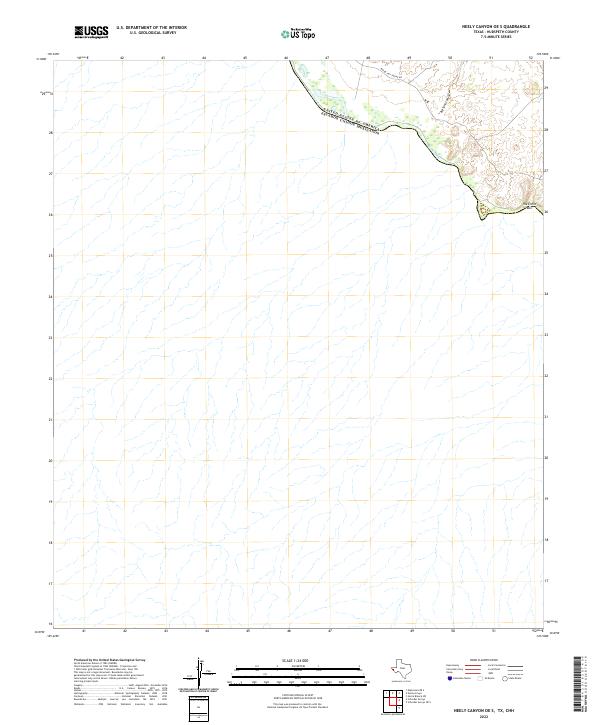 2022 Neely Canyon OE S2022 Print · USGSThe international border along the West Texas desert is captured in this recent survey of Hudspeth County. Researchers can trace the path of the Rio Grande and identify remote landmarks like Big Tank Canyon and The Little Box.
 - 2022 Map of Bass Canyon, 2022 Print
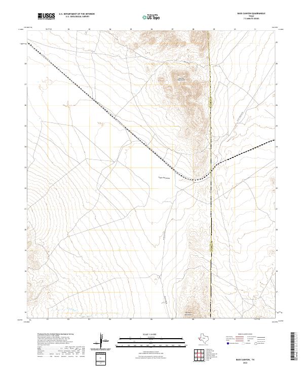 2022 Bass Canyon2022 Print · USGSHudspeth County, Texas, is documented in the early 2020s, showing the remote desert terrain at the state's western edge. Researchers can trace the elevation changes and seasonal drainage of Bass Canyon in this precise topographic record.
 - 2022 Map of Mesquite Spring, 2022 Print
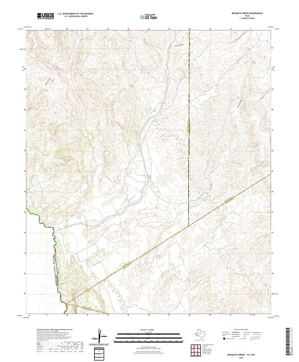 2022 Mesquite Spring2022 Print · USGSThe West Texas borderlands along the Rio Grande are captured here in the early twenty-first century, showing the intersection of four major counties. Researchers can trace water sources like Mesquite Spring and Catclaw Spring through the arid reaches of Eagle Canyon.
 - 2022 Map of Hackett Peak, 2022 Print
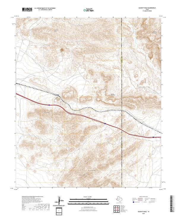 2022 Hackett Peak2022 Print · USGSThe Trans-Pecos desert highlands of Hudspeth and Culberson counties are captured here in the modern era. Trace the industrial site at Crusher or follow the terrain from the Millican Hills to the high elevations of Hackett Peak and the Beach Mountains.
 - 2022 Map of Bitter Well Mountain SW, 2022 Print
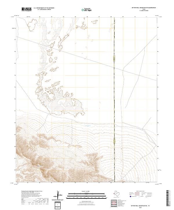 2022 Bitter Well Mountain SW2022 Print · USGSThe West Texas desert landscape at the Hudspeth and Culberson county line is captured in this modern survey. Researchers can trace cattle-country infrastructure like John Garner Tank and dramatic terrain features including the Diablo Rim and Apache Canyon.
 - 2022 Map of Sheep Peak, 2022 Print
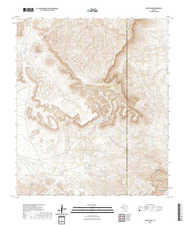 2022 Sheep Peak2022 Print · USGSThe high desert of West Texas meets the county line between Hudspeth and Culberson in this modern survey. Local historians can trace the vital water sources of the region at Grapevine Springs and Cowan Spring near the base of Tumbledown Mtn.
 - 2022 Map of Apache Peak, 2022 Print
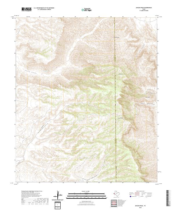 2022 Apache Peak2022 Print · USGSThe high escarpments of the Sierra Diablo range are captured here during the early 2020s, showing a land defined by its massive canyon systems. Trace the high-desert terrain from Apache Peak down through Apache Canyon and the sheer walls of Diablo Rim.
 - 2022 Map of Collier Mesa, 2022 Print
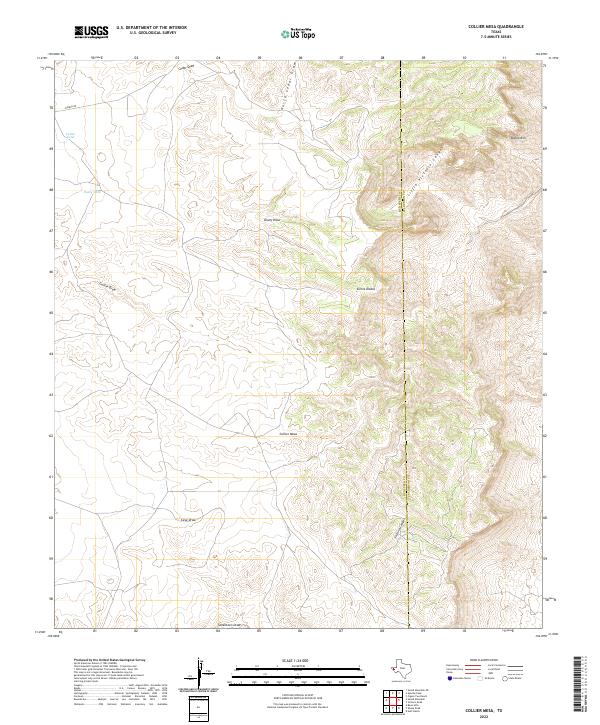 2022 Collier Mesa2022 Print · USGSThe high desert of Hudspeth County is captured here in the early twenty-first century, centered on the prominent heights of Sierra Diablo. Researchers can trace the winding paths of Victorio Canyon and locate vital rangeland water points like Cedar Tank.
 - 2022 Map of Patterson Hills, 2022 Print
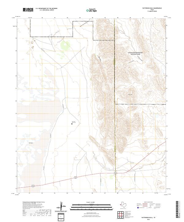 2022 Patterson Hills2022 Print · USGSThe high-desert ranchlands of West Texas are captured here at the county line between Hudspeth and Culberson. Researchers can trace remote landmarks like the Hammack Ranch Cem and the peaks of the Patterson Hills near Guadalupe Mountains National Park.
Showing maps 1-25 of 101
Top cities of Hudspeth County
Frequently asked questions
- What are the different types of historical maps available for Hudspeth County?
- What is the oldest map of Hudspeth County?
- Where can I purchase historical maps of Hudspeth County for my home or office?
- Where can I download high-res historical maps of Hudspeth County?
- Are there historical topographic maps available for Hudspeth County?
- Is there historical aerial imagery available for Hudspeth County?
- Where are historical maps of Hudspeth County sourced from?