2010s Maps of Lamar County, Texas
Explore 98 historic maps of Lamar County from the 2010s. These maps offer a rare glimpse into what life looked like during the 2010s — showing old roads, neighborhoods, homes, and landmarks that have changed or disappeared over time.
Whether you're researching your family's past, planning a metal detecting trip, or studying how Lamar County's landscape evolved across the 2010s, these high-resolution maps are a powerful tool for exploring the history of this region.
- Focus on a specific era: All maps on this page are from the 2010s, giving you a focused view of this time period.
- See what’s changed: Compare century-old streets, trails, and buildings to today's modern landscape using overlays and satellite layers.
- Research with precision: Use these maps for genealogy, historical research, land use analysis, or educational projects.
- View, download, or print: Maps are fully viewable online in high resolution, and can be downloaded or printed for your own records.
Start exploring Lamar County's history through authentic maps from the 2010s. This is your window into the past.
Lamar County, TX maps
(98)- 2010 Map of Deport, 2010 Print
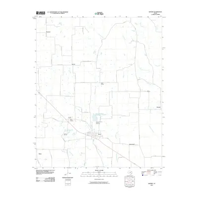 2010 Deport2010 Print · USGSNortheast Texas at the start of the 2010s reveals a landscape of small agricultural townships and vital water management sites. Genealogists can trace family roots at Wrights Chapel Cemetery or Bethel Cemetery and locate homesteads near Byrdtown and Deport.
 - 2010 Map of Blossom, 2010 Print
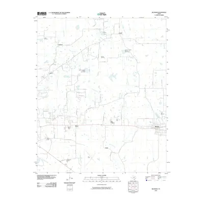 2010 Blossom2010 Print · USGSLamar County east of Paris shows a transition from historical rail hubs to modern aviation in the early twenty-first century. Genealogists and local historians can trace family ties at Sikes Cemetery, locate the old Santa Fe-Frisco Depot, and explore the area around Cox Field.
 - 2010 Map of Cooper North, 2010 Print
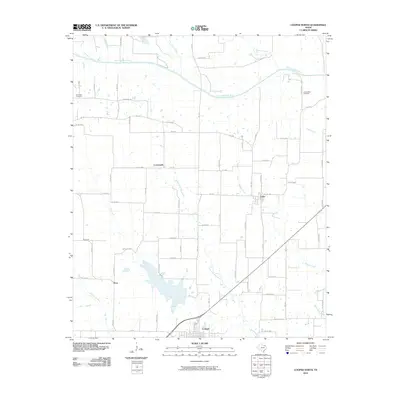 2010 Cooper North2010 Print · USGSNorth Delta County is captured here in the early twenty-first century as a landscape of river bottoms and rural crossroads. Genealogists can locate family burial sites at Simmons Cemetery and Camp Shed Cemetery or trace the small communities of Enloe and Price.
 - 2010 Map of Biardstown, 2010 Print
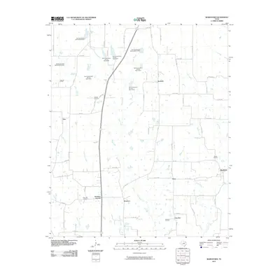 2010 Biardstown2010 Print · USGSSoutheast of Paris in the early 2000s, this portion of Lamar County reveals a landscape of dispersed settlements and managed watercourses. Researchers can locate family landmarks like Brackeen Cemetery and trace the rural reaches of Glory, Frog Hop, and Biardstown.
 - 2010 Map of Detroit, 2010 Print
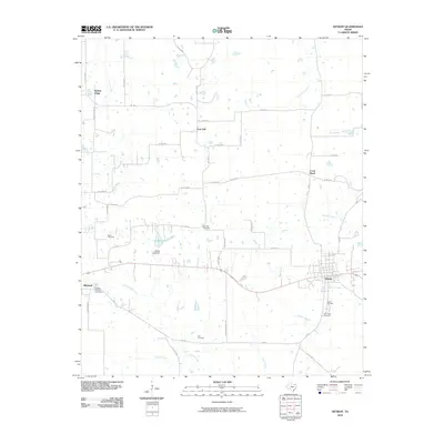 2010 Detroit2010 Print · USGSNortheastern Texas crossroads at the dawn of the 2010s reveal a landscape deeply rooted in family history and rural agriculture. Genealogists can trace ancestral sites across several historic burial grounds like Egypt Cemetery, Knights of Honor Cemetery, and Holt Cemetery.
 - 2010 Map of Charleston, 2010 Print
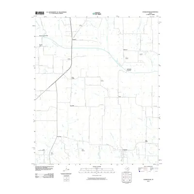 2010 Charleston2010 Print · USGSNortheast Texas at the start of the 2010s remains a landscape of small farming communities and historic river crossings. Genealogists can locate family landmarks like Hazel Dell Cemetery, Slabtown, and the old community center at Charleston.
 - 2010 Map of Pecan Gap, 2010 Print
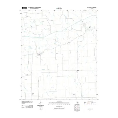 2010 Pecan Gap2010 Print · USGSNortheastern Texas at the start of the decade is documented here through its quiet rural communities and agricultural corridors. Genealogists can trace family footprints across several burial sites including Baptist Hill Cemetery and the settlement at Pecan Gap.
 - 2010 Map of Petty, 2010 Print
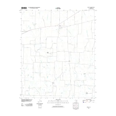 2010 Petty2010 Print · USGSThe rural landscape of Fannin County comes into focus in the early twenty-first century, showing the enduring grid of agricultural roads and small Texas communities. Genealogists and historians can locate McGalasson Cemetery and trace the paths of Rowdy Creek through Petty and White Rock.
 - 2010 Map of Toco, 2010 Print
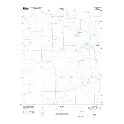 2010 Toco2010 Print · USGSLamar County's rural townships and burial grounds are meticulously documented in this late-era survey of the northeast Texas plains. Researchers can locate family landmarks like Little Vine Cemetery and Jackson Cemetery or trace the early footprint of Toco and Brookston.
 - 2010 Map of Minter, 2010 Print
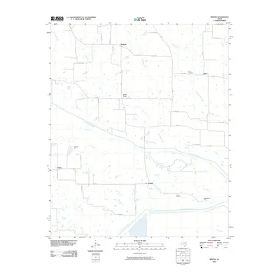 2010 Minter2010 Print · USGSNortheast Texas at the end of the first decade of the millennium shows a landscape defined by the winding forks of the Sulphur River. Researchers can trace rural community roots at the Minter Cemetery, find the former site of Vasco, and locate the waters of Bee Bayou.
 - 2010 Map of Roxton, 2010 Print
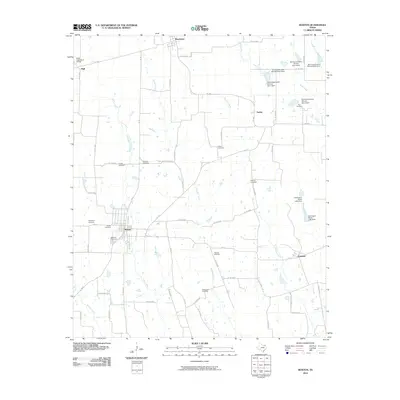 2010 Roxton2010 Print · USGSLamar County's rural landscape is captured here in the early twenty-first century, centered on the community of Roxton. Genealogists and historians can locate numerous family burial sites such as Restland Cemetery, Arkansas Cemetery, and Rice Cemetery.
 - 2010 Map of Paris, 2010 Print
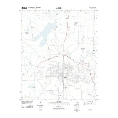 2010 Paris2010 Print · USGSParis remains the heart of Northeast Texas in the early 2000s, centered within its distinctive highway loop. Researchers can trace the layout of the Paris Commercial Historic District or locate family plots in Evergreen Cemetery and Cedar Hill Cemetery.
 - 2010 Map of Cunningham, 2010 Print
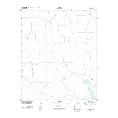 2010 Cunningham2010 Print · USGSCunningham and the rural reaches of Red River County are seen here at the start of the decade, where the north and south forks of the Sulphur River meet. Researchers can trace family history at several local burial grounds, including Restland Cemetery, Woodard Cemetery, and Morris Chapel Cemetery.
 - 2010 Map of Pattonville, 2010 Print
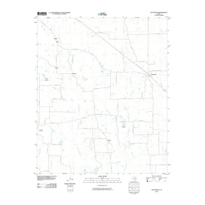 2010 Pattonville2010 Print · USGSLamar County's rural communities are meticulously documented in this late-aughts survey of the Pattonville area. Genealogists and researchers can trace family landmarks and rural crossroads from Neathery Cemetery to the small settlements of Clardy and Jennings.
 - 2010 Map of New Oberlin, 2010 Print
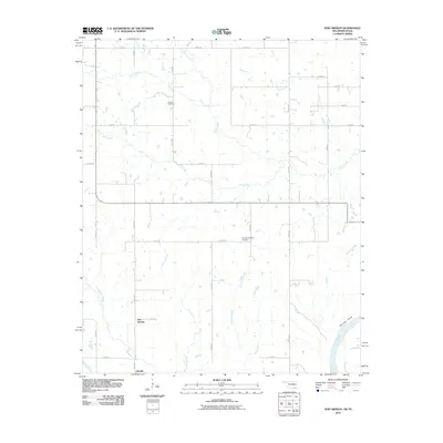 2010 New Oberlin2010 Print · USGSThe Red River borderlands of Choctaw County are captured here in the early twenty-first century as agricultural traditions endure. Family researchers and historians can locate Crowder Cemetery, the site at Garretts Bluff, and the small settlements of Oberlin and New Oberlin.
 - 2010 Map of Frogville, 2010 Print
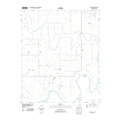 2010 Frogville2010 Print · USGSThe Red River valley south of Fort Towson comes to life in this study of the Oklahoma-Texas borderlands during the early twenty-first century. Genealogists and local historians can trace legacy sites like Everidge Cemetery, Frogville, and the Everidge Lake Cut-off.
 - 2010 Map of Slate Shoals, 2010 Print
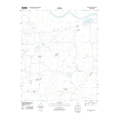 2010 Slate Shoals2010 Print · USGSTexas borderlands along the Red River appear in the early 2000s, showing a landscape shaped by rural industry and water management. Genealogists and local historians can locate several family and community landmarks, including Springhill Cemetery, the community of Lone Star, and the Womack Plantation Airport.
 - 2010 Map of Shoals, 2010 Print
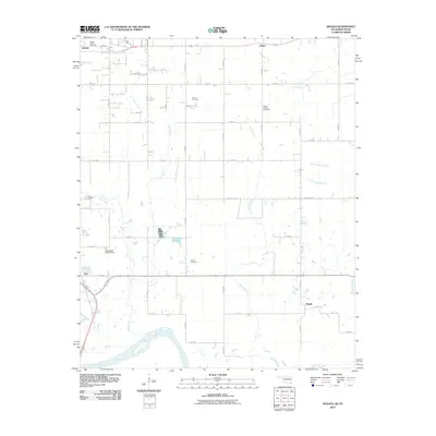 2010 Shoals2010 Print · USGSChoctaw County at the turn of the millennium shows a landscape defined by the winding Red River and a deep network of family heritage sites. Researchers can locate numerous local landmarks including Shoat Springs Cemetery, Shoals, and Fallon.
 - 2010 Map of Direct, 2010 Print
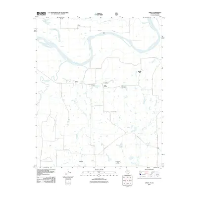 2010 Direct2010 Print · USGSThe Texas-Oklahoma borderlands along the Red River are captured here in the early 2000s, showing a landscape of river crossings and rural hamlets. Researchers can locate the historic Oberlin Ferry, trace the grounds of Pyles Cemetery, and explore the small communities of Direct and Georgia.
 - 2010 Map of Tigertown, 2010 Print
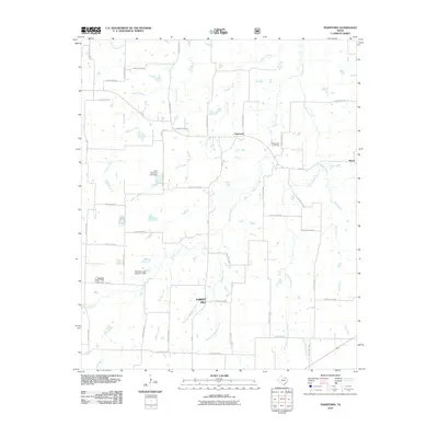 2010 Tigertown2010 Print · USGSLamar County's rural heartland is captured here in the early twenty-first century, showing a landscape defined by creeks and country roads. Researchers can locate the Cottonwood Cemetery and trace the paths of Sanders Creek through Tigertown and Maxey.
 - 2011 Map of Pat Mayse Lake West, 2011 Print
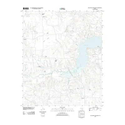 2011 Pat Mayse Lake West2011 Print · USGSLamar County in the early twenty-first century remains a landscape of quiet prairie and creek-fed valleys. Genealogists can locate family burial sites at Community Hall Cemetery or Caviness Cemetery and trace the rural layouts of Belk and Garretts Bluff.
 - 2011 Map of Pat Mayse Lake East, 2011 Print
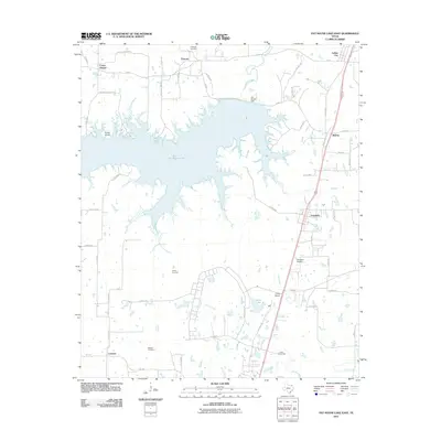 2011 Pat Mayse Lake East2011 Print · USGSNorthern Lamar County is defined by the expanse of Pat Mayse Lake and the military grounds of Camp Maxey in the early 2010s. Genealogists and local historians can locate family landmarks like Littlejohn Cemetery or trace old routes through Arthur City and Chicota.
 - 2011 Map of Woodland, 2011 Print
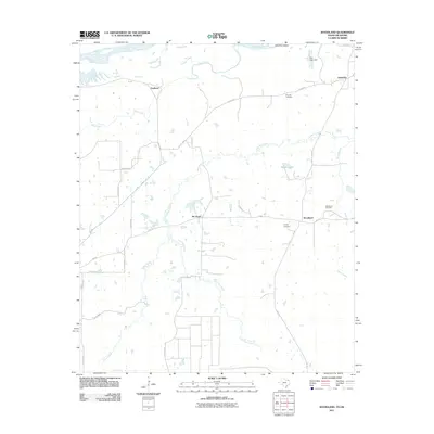 2011 Woodland2011 Print · USGSLamar County, Texas, is documented here in the early twenty-first century, showing the rural landscape along the Red River. Genealogists can trace family landmarks and local burial sites like Pine Hill Cemetery, Tinsley Cemetery, and the settlement of Pin Hook.
 - 2012 Map of Grant, 2012 Print
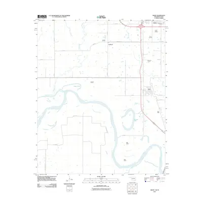 2012 Grant2012 Print · USGSThe Oklahoma-Texas borderlands come to life in this survey of the Red River valley just south of Hugo. Genealogists can locate family sites at Mount Olivet Cemetery or Springs Chapel Cemetery, while historians can trace the river's path through Pitts Bend and Grant.2 unique versions available
 - 2012 Map of Bluff, 2012 Print
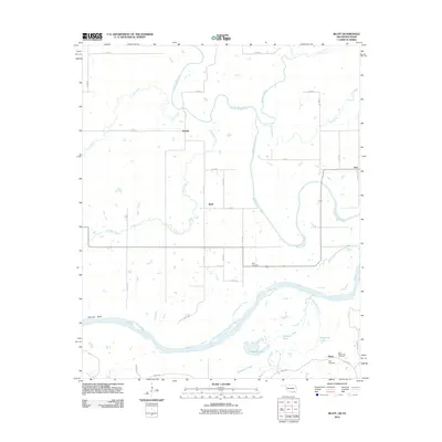 2012 Bluff2012 Print · USGSThe Red River valley at the Oklahoma-Texas border comes into focus in this early twenty-first-century survey. Local historians can trace family roots at Bluff Cemetery and New Macedonia Cemetery or locate old settlements like Duland and Garretts Bluff.2 unique versions available
Showing maps 1-25 of 98
Top cities of Lamar County
- Paris historical maps
- Reno historical maps
- Blossom historical maps
- Roxton historical maps
- Toco historical maps
- Sun Valley historical maps
Frequently asked questions
- What are the different types of historical maps available for Lamar County?
- What is the oldest map of Lamar County?
- Where can I purchase historical maps of Lamar County for my home or office?
- Where can I download high-res historical maps of Lamar County?
- Are there historical topographic maps available for Lamar County?
- Is there historical aerial imagery available for Lamar County?
- Where are historical maps of Lamar County sourced from?