2020s Maps of Liberty County, Texas
Explore 27 historic maps of Liberty County from the 2020s. These maps offer a rare glimpse into what life looked like during the 2020s — showing old roads, neighborhoods, homes, and landmarks that have changed or disappeared over time.
Whether you're researching your family's past, planning a metal detecting trip, or studying how Liberty County's landscape evolved across the 2020s, these high-resolution maps are a powerful tool for exploring the history of this region.
- Focus on a specific era: All maps on this page are from the 2020s, giving you a focused view of this time period.
- See what’s changed: Compare century-old streets, trails, and buildings to today's modern landscape using overlays and satellite layers.
- Research with precision: Use these maps for genealogy, historical research, land use analysis, or educational projects.
- View, download, or print: Maps are fully viewable online in high resolution, and can be downloaded or printed for your own records.
Start exploring Liberty County's history through authentic maps from the 2020s. This is your window into the past.
Liberty County, TX maps
(27)- 2022 Map of Shiloh, 2022 Print
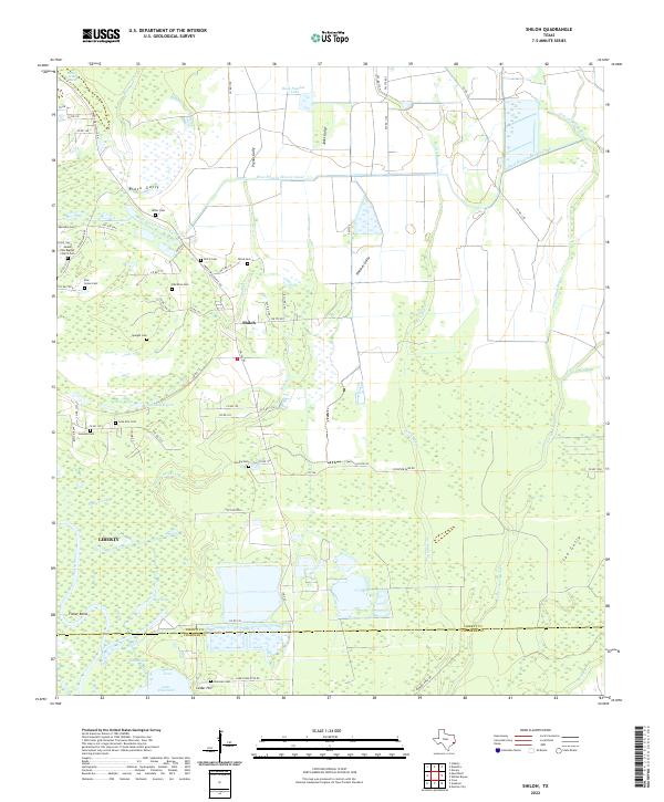 2022 Shiloh2022 Print · USGSCoastal Texas near Shiloh and the Trinity River is captured in this modern survey, revealing a landscape of family-named gullies and small cemeteries. Genealogists can trace family roots at Mount Zion Baptist Church Cem, Quarters Cem, and Worthy Cem near the banks of Turtle Bayou.
 - 2022 Map of Moss Bluff, 2022 Print
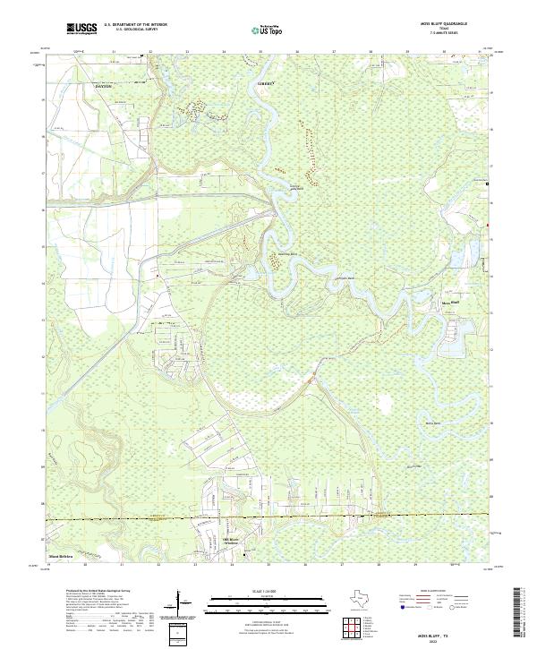 2022 Moss Bluff2022 Print · USGSCoastal Texas wetlands and the winding Trinity River define this Liberty County landscape during the early 2020s. Genealogists and local historians can trace the rural communities of Moss Bluff and Old River-Winfree, alongside family landmarks like Heir Lawn Cem.
 - 2022 Map of Winnie NW, 2022 Print
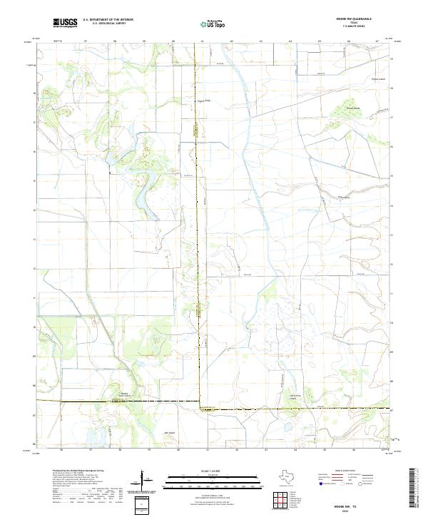 2022 Winnie NW2022 Print · USGSThe coastal wetlands of Southeast Texas are shown in this contemporary survey, where industrial canals meet natural bayous. Genealogists and historians can trace family-named landmarks like Pignut Island or follow the paths of Spindletop Bayou and Nolte Canal.
 - 2022 Map of Sheeks, 2022 Print
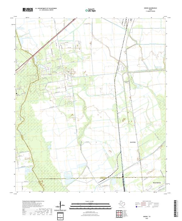 2022 Sheeks2022 Print · USGSCoastal Texas water management and county boundaries take center stage in the 2020s near the junction of Harris, Liberty, and Chambers counties. Genealogists can locate the Harvey Family Cem while researchers trace the extensive Dayton Canal and Lynchburg Canal networks.
 - 2022 Map of Whites Bayou, 2022 Print
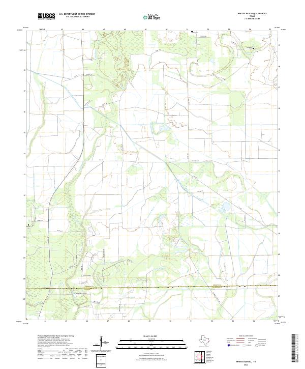 2022 Whites Bayou2022 Print · USGSLiberty and Chambers counties are documented here in the early 2020s, showing a coastal landscape defined by bayous and irrigation canals. Researchers can trace family sites at Sahara Cem and Abshier Cem or follow the paths of Whites Bayou and Crooked Bayou.
 - 2022 Map of Nome, 2022 Print
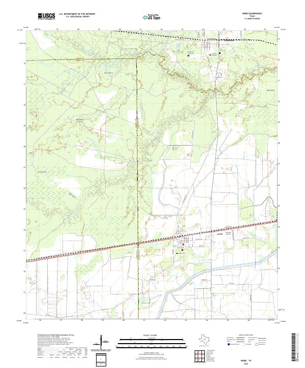 2022 Nome2022 Print · USGSCoastal Texas prairies and bayous define this landscape at the intersection of Hardin and Jefferson counties. Researchers can trace family history through several burial grounds, including Grayburg Black Cem and Pivoto Cem, or locate landmarks like the Farm Air Service.
 - 2022 Map of Daisetta, 2022 Print
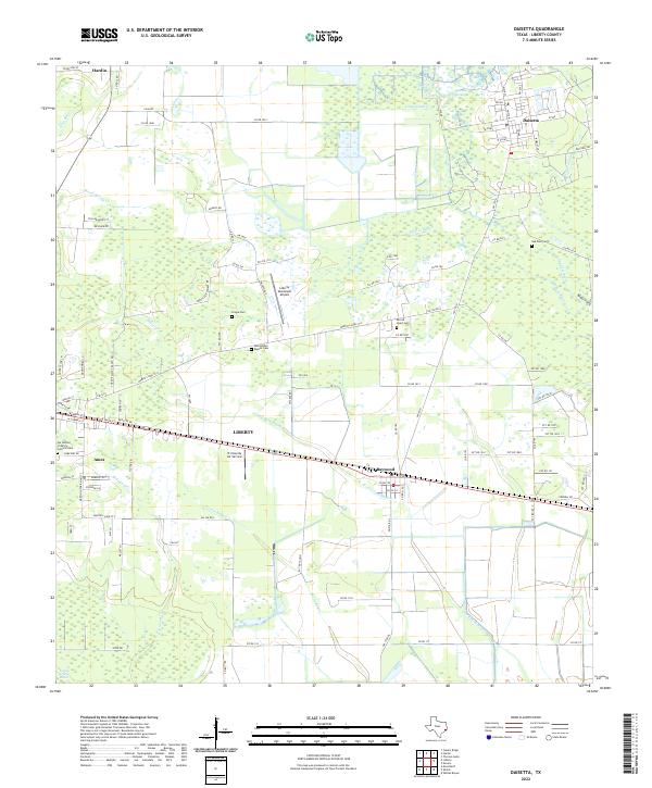 2022 Daisetta2022 Print · USGSDaisetta and the bayous of Liberty County are captured in the early 2020s, showing a landscape defined by water and local heritage. Researchers can locate family landmarks like Fregia Cemetery and Oak Dale Cemetery or trace the winding paths of Cow Island Bayou and Turtle Bayou.
 - 2022 Map of Arizona Creek, 2022 Print
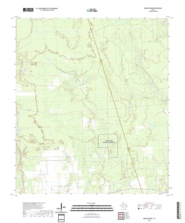 2022 Arizona Creek2022 Print · USGSCoastal plains and protected bottomlands meet along the Liberty and Hardin county border in this recent survey. Researchers can trace the boundaries of the Big Thicket National Preserve and find local landmarks like Omnnex Oil and Arizona Cr.
 - 2022 Map of Thorson Gully, 2022 Print
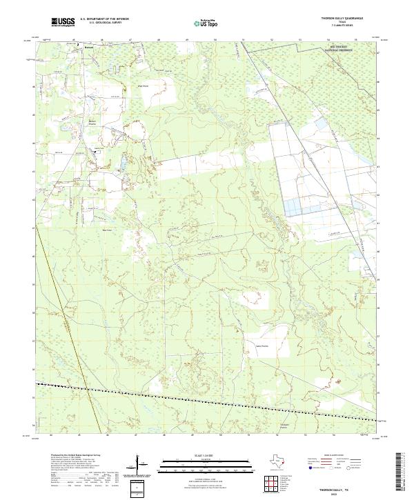 2022 Thorson Gully2022 Print · USGSNear the Big Thicket in the early twenty-first century, this Hardin County area preserves a mosaic of coastal prairies and dense bayou bottomlands. Genealogists and local historians can trace old homestead sites near Batson and find family records at Guedry Cem and Jordan Cem.
 - 2022 Map of Liberty, 2022 Print
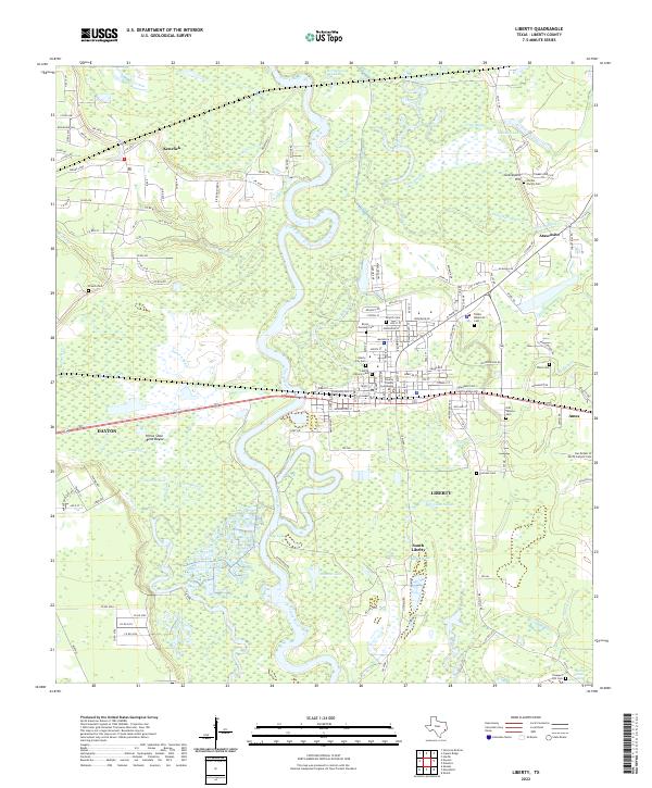 2022 Liberty2022 Print · USGSSoutheast Texas river life and historic settlements come into focus in this contemporary study of the Trinity River valley. Genealogists can locate numerous burial sites like Hardin Family Cem and Cooke Memorial Cem near the Liberty County Courthouse.
 - 2022 Map of Tarkington Prairie, 2022 Print
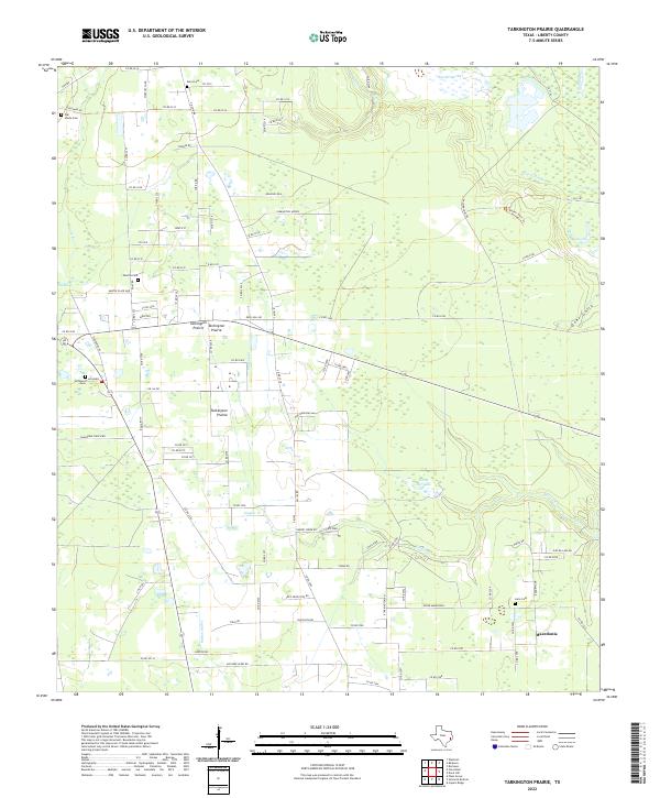 2022 Tarkington Prairie2022 Print · USGSTarkington Prairie and the Macedonia area appear in great detail during the early 2020s, showing a landscape defined by East Texas timberlands and marshes. Genealogists can locate several local burial sites including Boothe Cem and McGinnis Cem alongside landmarks like Silver Bit Lake.
 - 2022 Map of Dayton, 2022 Print
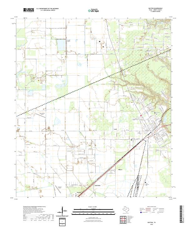 2022 Dayton2022 Print · USGSDayton and the surrounding Liberty County plains are shown here in the early 2020s as a landscape of rural crossroads and growing residential pockets. Researchers can pinpoint several burial grounds and old settlement points including Ligons Cem, Stilson, and the West Liberty Airport.
 - 2022 Map of Capers Ridge, 2022 Print
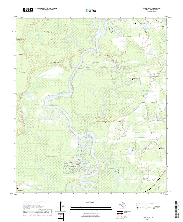 2022 Capers Ridge2022 Print · USGSThe Trinity River bottomlands of Liberty County are shown in great detail during the early 2020s, revealing a complex web of bayous and marshes. Researchers can pinpoint family burial sites like Jacob - Boothe Family Cem or trace the winding course of Gillen Bayou and McMurtry Bayou near Hardin.
 - 2022 Map of Devers, 2022 Print
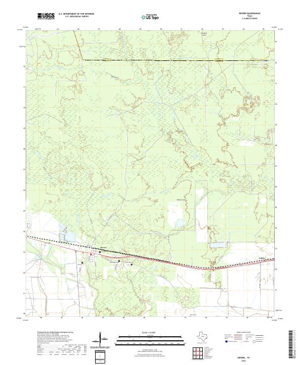 2022 Devers2022 Print · USGSThe coastal prairie of Liberty County comes into focus here during the early twenty-first century, centered on the community of Devers. Family historians can trace local roots through several burial sites like Whittington Cem and Sahara Cem while following the winding paths of Batiste Cr.
 - 2022 Map of Fostoria, 2022 Print
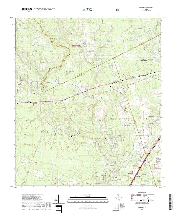 2022 Fostoria2022 Print · USGSThe Montgomery and San Jacinto county lines meet near the early twenty-first-century settlements of Fostoria and Security. Local historians can trace old family sites and rural landmarks through the Morgan Cem, Fostoria Cem, and the southern growth around Splendora.
 - 2022 Map of Hardin, 2022 Print
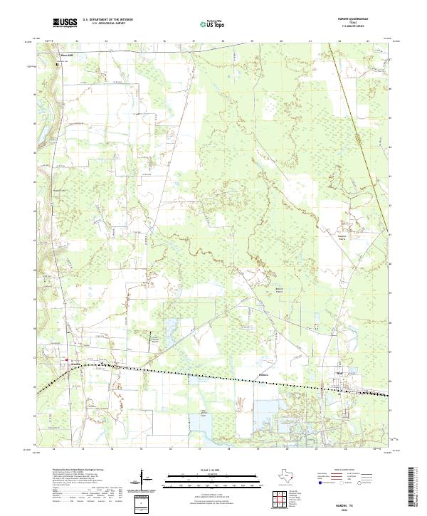 2022 Hardin2022 Print · USGSHardin and the surrounding Liberty County prairie lands are documented here in the early twenty-first century as the local rural economy continues to evolve. Researchers can locate the Moss Hill Cem, the Circle C Ranch Airport, and old prairie landmarks like Batiste Prairie.
 - 2022 Map of Davis Hill, 2022 Print
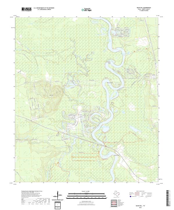 2022 Davis Hill2022 Print · USGSThe Trinity River bottomlands of Liberty County appear here in their modern state, characterized by a dense network of oxbow lakes and coastal sloughs. Researchers can trace the elevation of Davis Hill and locate specific riverside features like Tanners Bluff or the winding Hannas Bend Ranch Rd.
 - 2022 Map of Votaw, 2022 Print
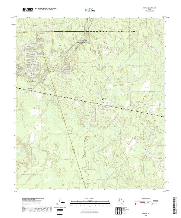 2022 Votaw2022 Print · USGSHardin and Liberty Counties come alive in this recent survey of the Big Thicket region. Researchers can trace family history at the Votaw Cem or locate the rural communities of Votaw, Fuqua, and Thicket among the winding bayous.
 - 2022 Map of Romayor, 2022 Print
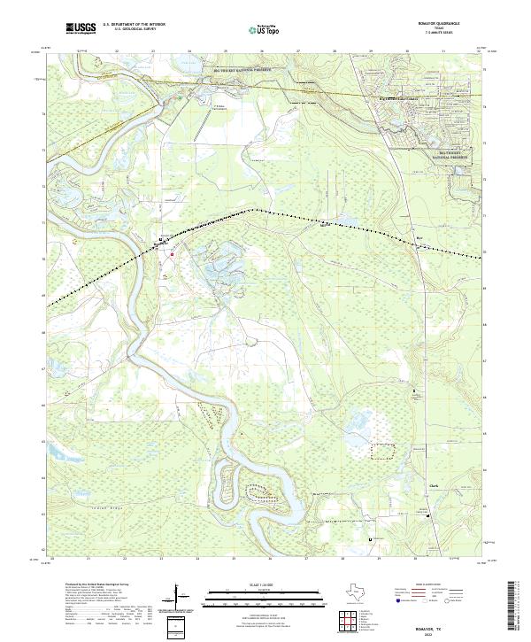 2022 Romayor2022 Print · USGSThe Trinity River bottomlands and the Big Thicket are captured here in the early twenty-first century. Researchers can trace family history at Romayor Cem or explore the geography of Big Thicket Lake Estates and the Chain-O-Lakes Resort.
 - 2022 Map of Westcott, 2022 Print
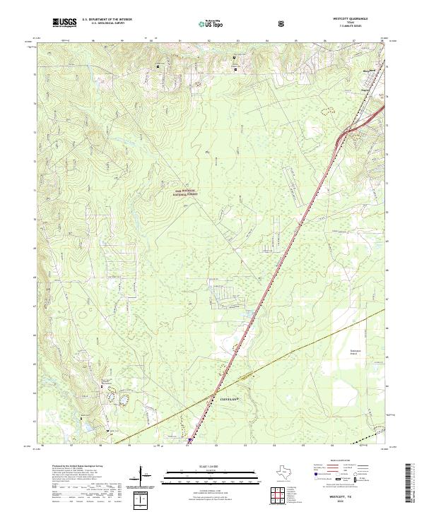 2022 Westcott2022 Print · USGSThe piney woods north of Houston are captured here as they appeared in the early 2020s, spanning the forest and prairies of San Jacinto and Liberty counties. Researchers can trace local lineage through numerous sites including Roark Cem, Lovett Cem, and the Pace - Stencil Memorial Rest Gardens.
 - 2022 Map of Rayburn, 2022 Print
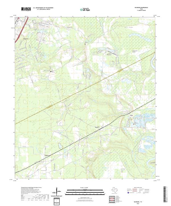 2022 Rayburn2022 Print · USGSThe East Texas borderlands of San Jacinto and Liberty counties come to life in this survey of the river bottomlands. Researchers can trace rural lineages through the Coley Creek Cem and old settlements like Rayburn, Dolen, and Hightower.
 - 2022 Map of Cleveland, 2022 Print
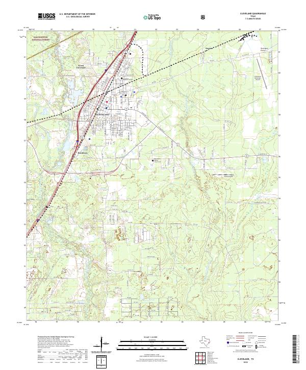 2022 Cleveland2022 Print · USGSCleveland and the surrounding piney woods are captured in the early 2020s as the area balances its timber roots with modern expansion. Local researchers can locate family sites at Wells Cem and Riggs Cem or trace the drainage of Tarkington Bayou.
 - 2022 Map of Huffman, 2022 Print
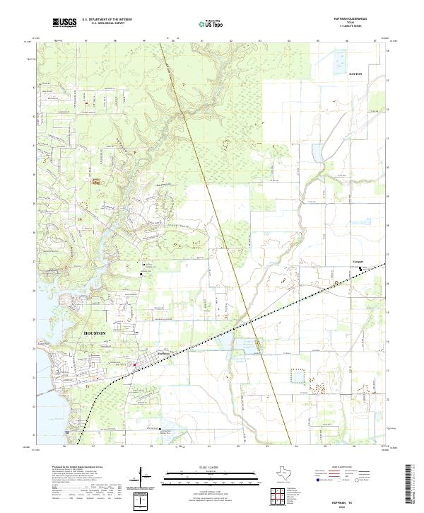 2022 Huffman2022 Print · USGSThe Lake Houston shoreline and the Liberty-Harris county line define this area in the early 2020s. Genealogists can trace family sites at Huffman Heritage Cemetery or SPJST Cemetery and follow the waters of Luce Bayou and Cedar Bayou.
 - 2022 Map of Plum Grove, 2022 Print
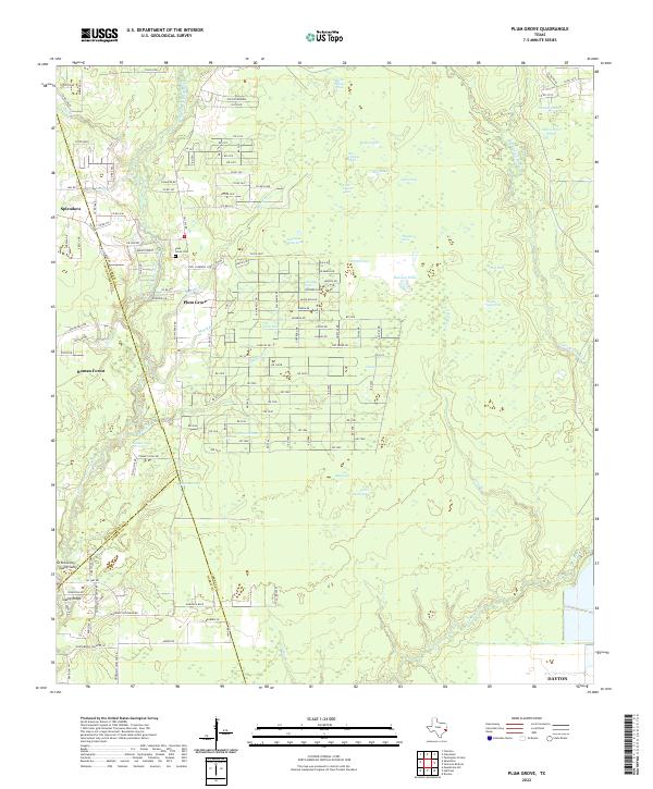 2022 Plum Grove2022 Print · USGSThe East Fork of the San Jacinto River meets the expanding rural neighborhoods of Liberty County in the early 2020s. Genealogists and local historians can map out the modern environs of Plum Grove, the Plum Grove Cem, and the reaches of Tarkington Bayou.
 - 2022 Map of Splendora, 2022 Print
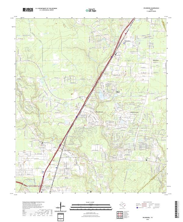 2022 Splendora2022 Print · USGSSoutheast Texas at the turn of the 21st century shows a dense network of creek-side settlements and family burial grounds. Genealogists and local historians can trace legacy sites like Mizell Cem, Turner Family Cem, and the historic rail corridor along Splendora.
Showing maps 1-25 of 27
Top cities of Liberty County
- Liberty historical maps
- Cleveland historical maps
- Dayton historical maps
- Daisetta historical maps
- Ames historical maps
- Plum Grove historical maps
See more
Frequently asked questions
- What are the different types of historical maps available for Liberty County?
- What is the oldest map of Liberty County?
- Where can I purchase historical maps of Liberty County for my home or office?
- Where can I download high-res historical maps of Liberty County?
- Are there historical topographic maps available for Liberty County?
- Is there historical aerial imagery available for Liberty County?
- Where are historical maps of Liberty County sourced from?